






WOLF Advanced Technology
HP | MJF for Unmanned Systems
Leading Suppliers in United States of America

LiDAR for Aerial Survey and Mapping Suppliers in United States of America

Category Presented by YELLOWSCAN

Discover United States of America-based suppliers of LiDAR for Aerial Survey and Mapping

Suppliers: LiDAR for Aerial Survey and Mapping

6 Leading Suppliers
Grid List
Filtered by:
Inertial Labs, a VIAVI Solutions Company
USA

Inertial Navigation Sensors: MEMS IMU, Accelerometers, Gyroscopes, AHRS, GPS-INS & Point Cloud Generation

Areté
Areté
USA (7 locations)

Cutting-Edge Unmanned Systems-based Sensing Solutions & Counter-UAS Systems for Military & Defense Forces

SatLab Geosolutions
SatLab Geosolutions
USA (7 locations)

GNSS Positioning Systems, 3D SLAM & Mobile Mapping, Unmanned Surface Vehicles

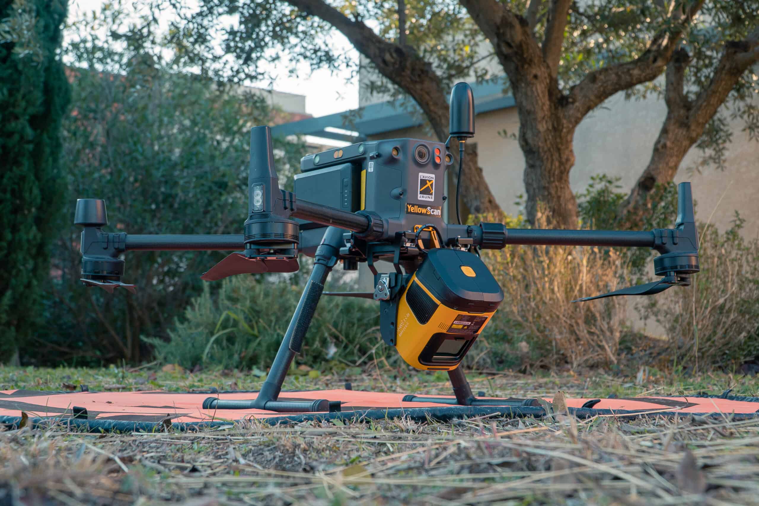
YellowScan
YellowScan
USA (4 locations)

High Precision, Long-Range UAV LiDAR & Drone LiDAR Mapping Solutions

RIEGL
RIEGL
USA (11 locations)

Drone LiDAR Sensors & Laser Scanners for Aerial Surveying, Mapping & Bathymetry

CHC Navigation
CHC Navigation
USA (9 locations)

GNSS Positioning & Navigation Systems, Mobile Mapping UAV LiDAR & Unmanned Surface Vehicles

Browse suppliers by country
Showcase your capabilities

If you design, build or supply LiDAR for Aerial Survey and Mapping, create a profile to showcase your capabilities and connect with visitors who have an active requirement for your solutions.

Create Supplier Profile

Products

18 Cutting-edge Solutions
Add your solutions
RESEPI™ Ultra LITE
RESEPI™ Ultra LITE

Compact LiDAR payload for drone mapping

Compact LiDAR payload for drone mapping
... a lightweight LiDAR scanning and mapping solution from Inertial Labs, combining an XT-32 LiDAR...
Teledyne EchoONE
Teledyne EchoONE

Ultra-lightweight Airborne LiDAR System

Ultra-lightweight Airborne LiDAR System
...ation airborne LiDAR system designed for high-precision geospatial mapping and unmanned aerial... ...anced airborne LiDAR solution engineered for UAV-based mapping and high-accuracy geospatial data...
RESEPI GEN II LiDAR Scanning Solutions

Next-generation sensor fusion platform for UAV remote sensing

Next-generation sensor fusion platform for UAV remote sensing
... high-accuracy LiDAR point cloud generation solutions is designed for Inertial Labs partners and...
RESEPI Lite LiDAR Scanning Solutions

High-accuracy sensor fusion platform for UAV remote sensing

High-accuracy sensor fusion platform for UAV remote sensing
... high-accuracy LiDAR point cloud generation solutions is designed for Inertial Labs partners and...
RIEGL miniVUX-4UAV
RIEGL miniVUX-4UAV

Lightweight airborne LiDAR for UAV mapping

Lightweight airborne LiDAR for UAV mapping
...RIEGL Waveform-LiDAR technology enables echo digitization and online waveform processing, with up to...
<i>RIEGL</i> VUX-820-G
RIEGL VUX-820-G

Topo-bathymetric airborne LiDAR system for coastal & river mapping

Topo-bathymetric airborne LiDAR system for coastal & river mapping
...820-G airborne LiDAR System is a compact 5.7 kg unit designed for UAV-based topo-bathymetric mapping...
<i>RIEGL</i> VUX-100<sup>25</sup>
RIEGL VUX-10025

UAV LiDAR Scanner with Extra Large Field of View for Wide Area Coverage

UAV LiDAR Scanner with Extra Large Field of View for Wide Area Coverage
... and versatile LiDAR scanner that provides an extended field of view of 160 degrees for extra-wide... ...standalone UAV LiDAR sensor and also in various fully-integrated UAV-based laser scanning system...
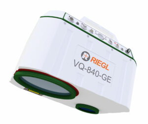
<i>RIEGL</i> VQ-840-GE
RIEGL VQ-840-GE

Fully integrated laser scanner for combined topographic & bathymetric survey

Fully integrated laser scanner for combined topographic & bathymetric survey
The RIEGL VQ-840-GE airborne laser scanner is a lightweight and compact unit designed for UAV-based ...
YellowScan Venturer
YellowScan Venturer

NDAA-Compliant UAV LiDAR for Survey-Grade Aerial Mapping

NDAA-Compliant UAV LiDAR for Survey-Grade Aerial Mapping
...-compliant UAV LiDAR engineered for professional drone mapping and geospatial data collection....
YellowScan Navigator

Bathymetric & topographic LiDAR survey solution

Bathymetric & topographic LiDAR survey solution
The YellowScan Navigator is a combined bathymetric and topographic measurement solution that allows ...
YellowScan Explorer
YellowScan Explorer

Long-range, multi-platform LiDAR solution

Long-range, multi-platform LiDAR solution
...is a versatile LiDAR solution designed to be fitted to a range of UAV platforms, including...
YellowScan Vx15 Series

Long range, high precision UAV LiDAR solution

Long range, high precision UAV LiDAR solution
...-precision UAV LiDAR mapping solution, incorporating a Riegl Mini-VUX LiDAR sensor and an Applanix...
PILLS
PILLS

Bathymetric LiDAR for littoral surveillance & coastal mapping

Bathymetric LiDAR for littoral surveillance & coastal mapping
...hbroom Imaging LiDAR for Littoral Surveillance) is a Joint ONR NAVAIR-funded SBIR program that... ... IHO-compliant LiDAR systems compatible with tactical UAS. In addition, Areté has collaborated with...
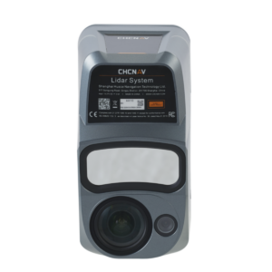
Apus-MX LiDAR Scanner

UAV LiDAR scanner with orthographic camera

UAV LiDAR scanner with orthographic camera
...ful long-range LiDAR scanner with an advanced IMU and an industrial-grade 45 MP RGB orthographic...
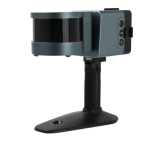
Cygnus Handheld SLAM Scanner

Mobile 3D scanner for precise point cloud acquisition

Mobile 3D scanner for precise point cloud acquisition
...calization And Mapping) technology and powerful low-reflectivity range extension. Data processing...
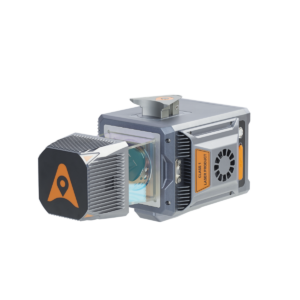
AlphaAir 15 Aerial LiDAR Scanner

Lightweight, long-range and high-density UAV LiDAR solution

Lightweight, long-range and high-density UAV LiDAR solution
...mpact airborne LiDAR system that weighs just 2.5kg and can be integrated into a variety of...
AlphaAir 10
AlphaAir 10

Professional Airborne LiDAR + RGB System

Professional Airborne LiDAR + RGB System
...is an advanced aerial surveying solution that seamlessly integrates LiDAR and RGB sensors to meet...
AlphaUni 20
AlphaUni 20

Multi-platform LiDAR solution for mapping & geospatial applications

Multi-platform LiDAR solution for mapping & geospatial applications
...is an advanced LiDAR solution designed to suit both aerial and ground mobile mapping applications....

Related Articles

SPIRIT UAS Lidar Integration Targets Real-Time Mapping

MicroVision and Robinson Unmanned are collaborating to integrate MOVIA Air Plus lidar technology with the SPIRIT UAS, advancing real-time airborne mapping for commercial and defense applications

Oct 19, 2026
Integrating Satellite Intelligence & Drone LiDAR for Survey Planning

By integrating YellowScan satellite environmental intelligence into equipment rental ecosystems, survey teams can evaluate site conditions and water clarity well before mobilizing personnel and drone LiDAR systems for demanding field campaigns

Oct 14, 2026
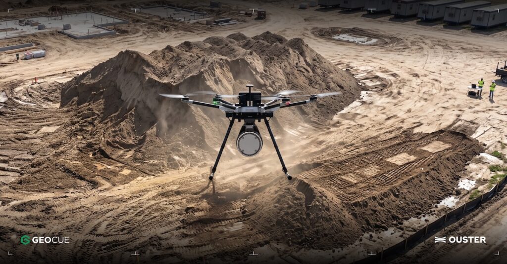
GeoCue Integrates Ouster Native Color Lidar for Infrastructure Mapping

By pairing TrueView payloads with Ouster's Build America, Buy America-compliant Rev8 OS1 Max sensor, GeoCue delivers survey-grade precision, expanded operational range, and native color integration for infrastructure drone mapping

Sep 10, 2026
3D Mapping & Navigation Solutions for UAVs & Autonomous Systems

SKYLANDX's solutions combine LiDAR, vision and inertial sensing to generate detailed three-dimensional maps and models

Sep 08, 2026
Airborne LiDAR System Unveiled for Wide-Area Mapping

The launch of CHC Navigation's new premium airborne LiDAR system delivers ultra long range laser scanning and high precision orientation architecture to optimize wide area geospatial mapping across complex and changing terrain

Jun 17, 2026
Revealing Hidden Terrain Features with Airborne & UAV LiDAR Scanning

RIEGL discusses how its airborne and UAV LiDAR scanning technologies are helping researchers reveal concealed terrain features beneath dense vegetation and identify wartime relics and heritage sites across Hong Kong and Malaysia

May 11, 2026
YellowScan: Bringing a Community Together

YellowScan recently hosted its sixth LiDAR Convention in Aix-en-Provence, bringing together a global audience of surveyors, engineers, researchers, drone manufacturers, and industry partners

Apr 30, 2026
Fundamentals of Drone Mapping & Geospatial Data Production

Blue Nose Aerial Imaging outlines the core principles of drone mapping, explaining how photogrammetry and LiDAR workflows are used to generate accurate geospatial deliverables for analysis and decision-making

Apr 30, 2026
CHC Navigation Debuts AlphaAir 6 Long-Range LiDAR for High-Relief Terrain & Aerial Surveying

CHC Navigation introduces a flagship airborne mapping solution, AlphaAir 6, featuring 2,100m ranging and prism scanning for complex drone-based aerial surveys

Apr 14, 2026

THE WEEKLY eBRIEF

The latest unmanned systems news, straight to your inbox.

Get our weekly roundup of technology developments, new products and industry news.

By subscribing, you agree to receive the weekly UST eBrief newsletter from EchoBlue Ltd. Unsubscribe at any time using the link in every email. See our Privacy Notice.

Advancing Unmanned Systems Through Strategic Collaboration UST works with major OEMs to foster collaboration and increase engagement with SMEs, to accelerate innovation and drive unmanned systems capabilities forward.