


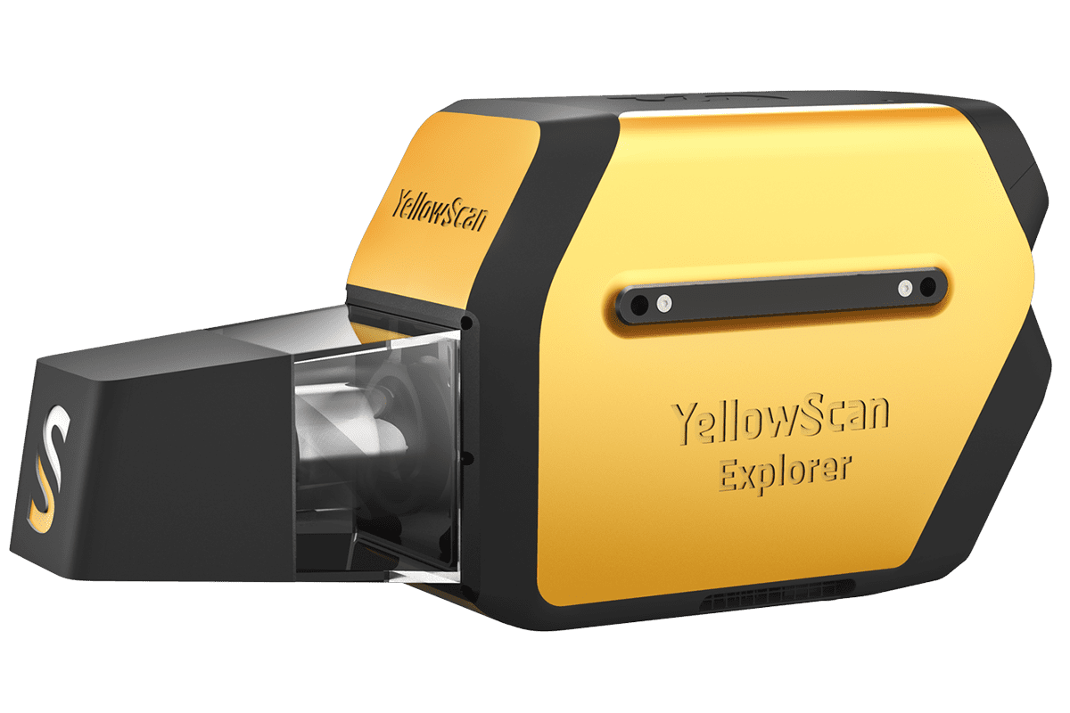
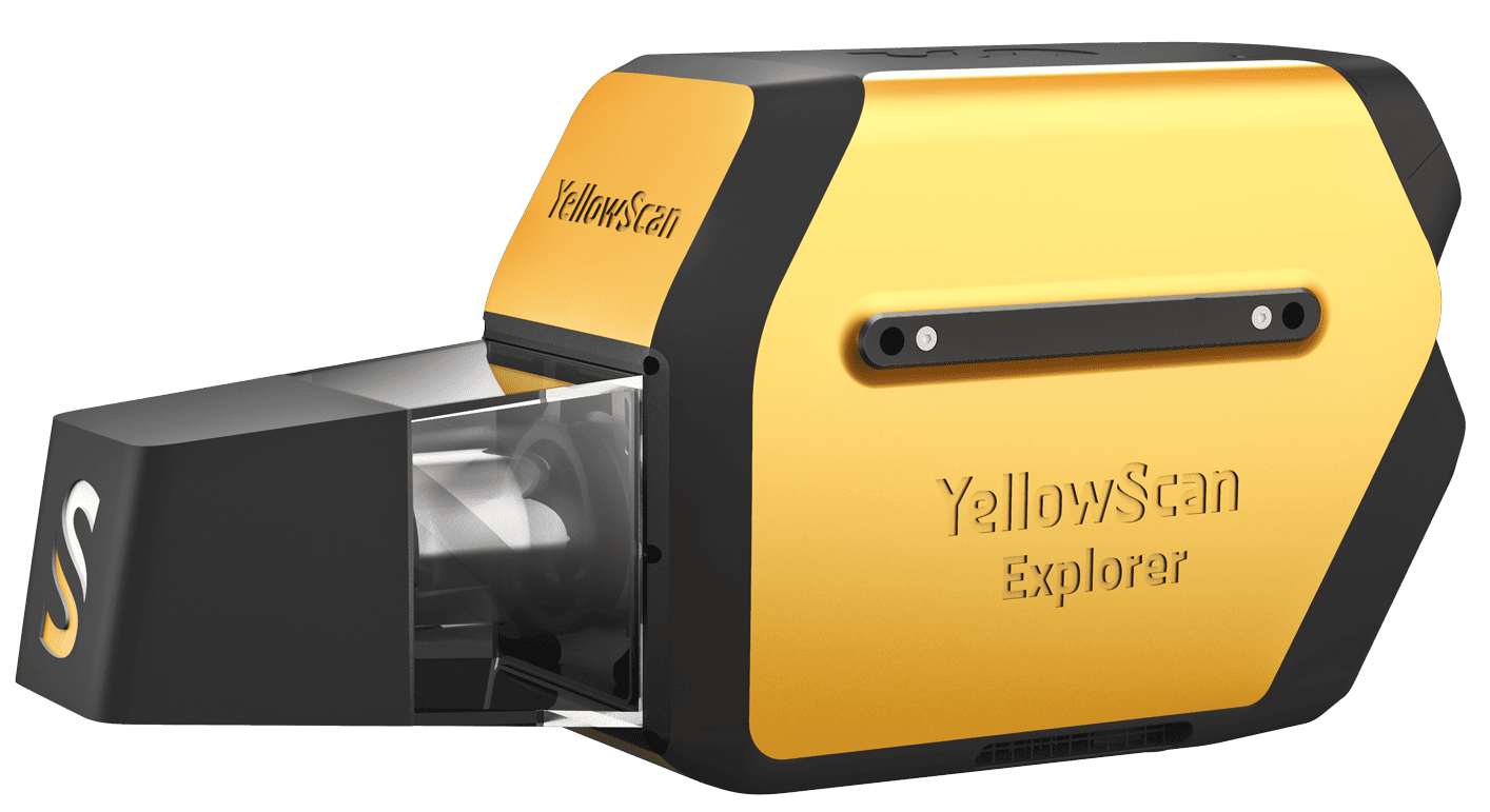
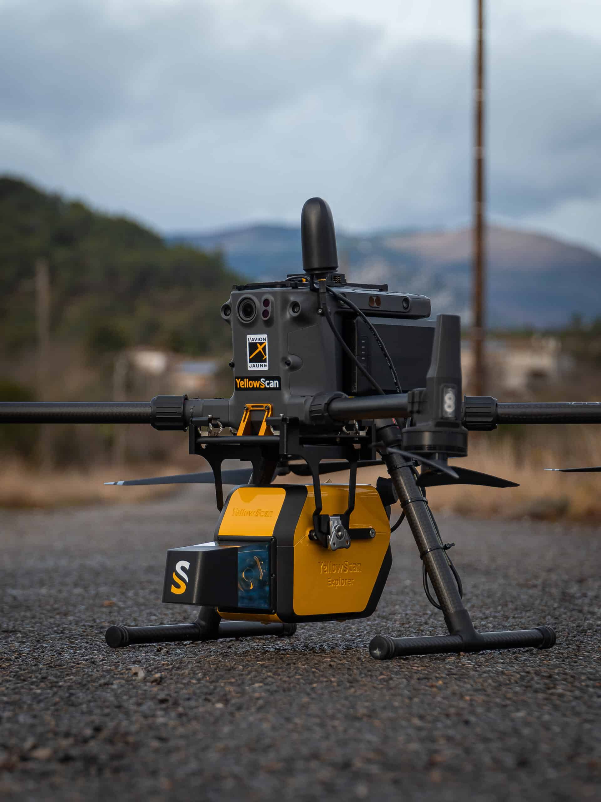
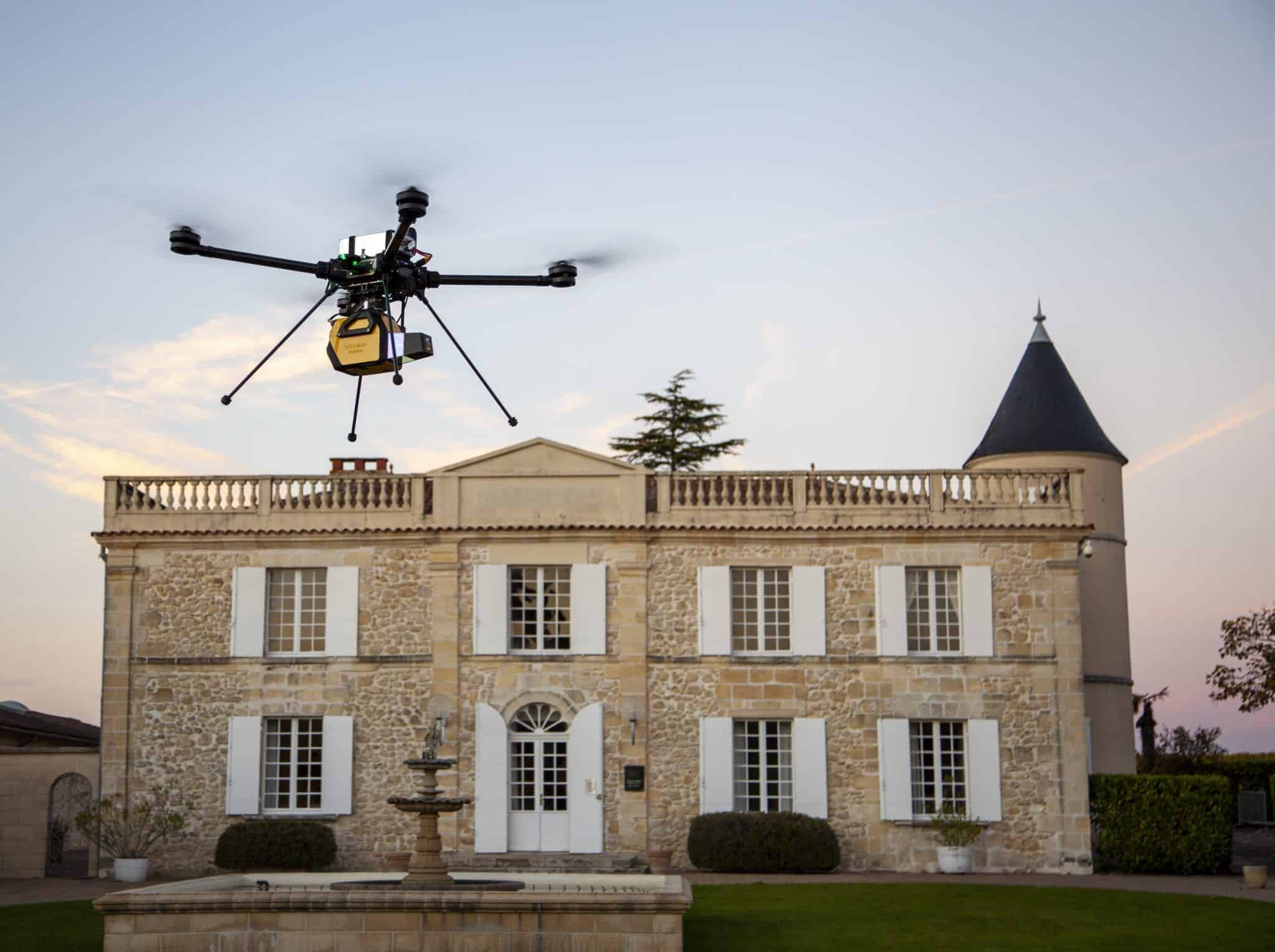
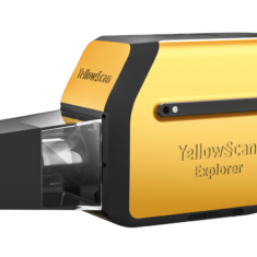
The Yellowscan Explorer is a versatile LiDAR solution designed to be fitted to a range of UAV platforms, including multirotors, unmanned helicopters, and fixed-wing drones. The first compact, versatile and long range platform on the market, it is the culmination of several years of research and development done by YellowScan, while closely working alongside customers and partners from around the world.
Featuring a built-in Applanix APX-20UAV GNSS-inertial system, the Yellowscan Explorer delivers high-accuracy scanning at altitudes of up to 300m AGL and ranges of up to 600m.
Striking a balance between size, range, accuracy and weight, the system is ideal for a variety of LiDAR scanning applications, including surveying, forestry, environmental research, archaeology, industrial inspection, civil engineering, and mining.
Package includes- YellowScan Explorer
- Rugged pelicase
- Charger and 2 batteries
- GNSS antenna and cable
- 2 USB flash drives
- Documentation
- Applanix POSPac UAV software to post-process GNSS and inertial data for highest accuracy
- YellowScan CloudStation software to generate and visualize your georeferenced point cloud
- 1-year unlimited technical support
- 1-year warranty
- In-person or online training
- Boresight calibration certificate
| Precision | 2.6 cm |
| Accuracy | 2.2 cm |
| Echoes per shot | Up to 5 |
| Wavelength | 1556 nm |
| Range | Up to 600 m |
| GNSS-Inertial solution | Applanix APX-20 UAV |
| Scanner field of view | 360° |
| Shots per second | Up to 500k |
| Scanning frequency | 165 Hz |
| Weight | 2.6 kg (5.7 lbs) battery included |
| Size | L 32.8 x W 12.2 x H 15.6 cm |
| Autonomy | 1.3 hours typ. |
| Power consumption | 50 W |
| Operating temperature | -20 to +40 °C |


