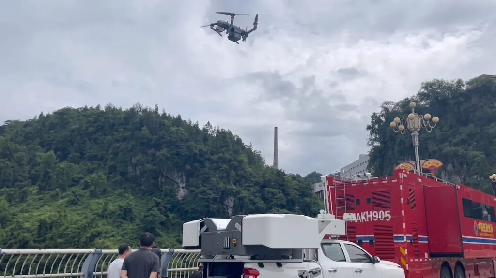
JOUAV deployed its JOS-P200 vehicle-mounted autonomous drone hangar to support rapid aerial reconnaissance, real-time 3D mapping, and hazard assessment following a landslide in Pengshui County, Chongqing
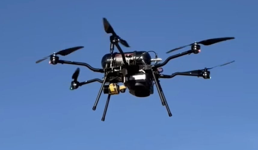
Cellen has expanded the payload options of its hydrogen-powered H2-6 multirotor UAS through the integration of YellowScan LiDAR payloads to support mapping and surveying applications
ZenaTech has released the IQ Quad, an autonomous VTOL AI drone equipped with multi-sensor payload support, obstacle avoidance, and autonomous recharging to deliver survey-grade geospatial data for mapping and land analysis
YellowScan demonstrated its Navigator Bathymetric LiDAR system at the 5th Grande Exposition du Fabriqué en France, showcasing French-made drone technology for coastal mapping developed with local partners and recognized by French authorities for innovation and industrial excellence
The Fullerton College Drone Lab has formed a long-term partnership with the Orange County Fire Authority to support wildfire prevention, response and environmental recovery, starting with a drone-based LiDAR mapping project to analyze the Airport Fire burn scar
The LiDAR Summit 2025 at Fullerton College will bring together industry and education leaders to highlight advances in 3D geospatial technology, featuring technology demonstrations, panels, breakout sessions, and a keynote address by Pete Kelsey, founder of VCTO Labs
Blue Marble Geographics' latest update to GIS software focuses on efficiency, enhanced data display, and broader file format compatibility including Phase One's IIQ
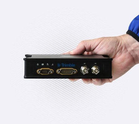
Trimble Applanix’s portfolios for land and airborne mobile mapping are designed to deliver increased accuracy and efficiency with next-generation positioning systems
RIEGL unveiled advanced UAV LiDAR solutions at INTERGEO 2025, highlighting precision, compact design, and integrated systems for bathymetry, mapping, and mobile surveying
Trimble Applanix has released POSPac Complete, a geospatial post-processing software that combines Trimble ProPoint®, CenterPoint® RTX, and IN-Fusion+ technologies to deliver high accuracy and streamlined mapping across airborne, land, and marine operations
Volatus Aerospace’s intermediate online course provides professional drone pilots with essential photogrammetry and LiDAR skills, combining theoretical instruction and applied learning to enhance precision in aerial mapping and geospatial data acquisition
ElevonX’s Tango VTOL UAV has joined Ready to Fly’s Austrian fleet, carrying client-selected payloads to deliver high-precision aerial imaging, LiDAR, and 3D terrain modeling for infrastructure, environmental, and urban projects
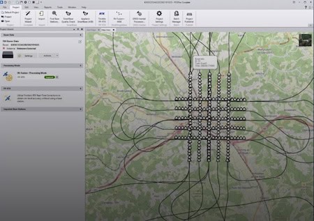
CHC Navigation (CHCNAV) has unveiled the AU20 MMS, a vehicle-mounted mobile mapping system designed for accurate and efficient collection of 3D spatial data
Plymouth Marine Laboratory is advancing shallow water mapping using RIEGL's UAV-mounted bathymetric LiDAR, enabling high-resolution, low-impact environmental data collection and research
YellowScan’s new Smoothing feature enhances point cloud data by reducing noise, improving accuracy, and preserving critical details for better geospatial analysis
GEO Business 2025, 4–5 June at ExCeL London, is set to showcase geospatial innovation with expert talks, case studies, and technology shaping the future of data and infrastructure
Imagine a real-time, crowd-sourced map of Earth. Spexi, powered by LayerDrone, pays drone pilots to capture ultra-detailed imagery, offering organizations data that’s faster, cheaper, and more precise than traditional methods
Blue Marble’s Global Mapper® v26.1 introduces powerful new tools for data editing, deep-learning advancements, and model fine-tuning, enhancing vehicle detection, point cloud management, and user customization for GIS professionals
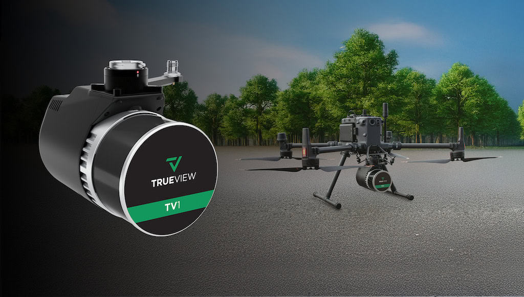
At Geo Week 2025, GeoCue launched TV1 Lite and the TV1 LiDAR scanners for drones, aiming to bring precision and affordability to the forefront of the geospatial industry
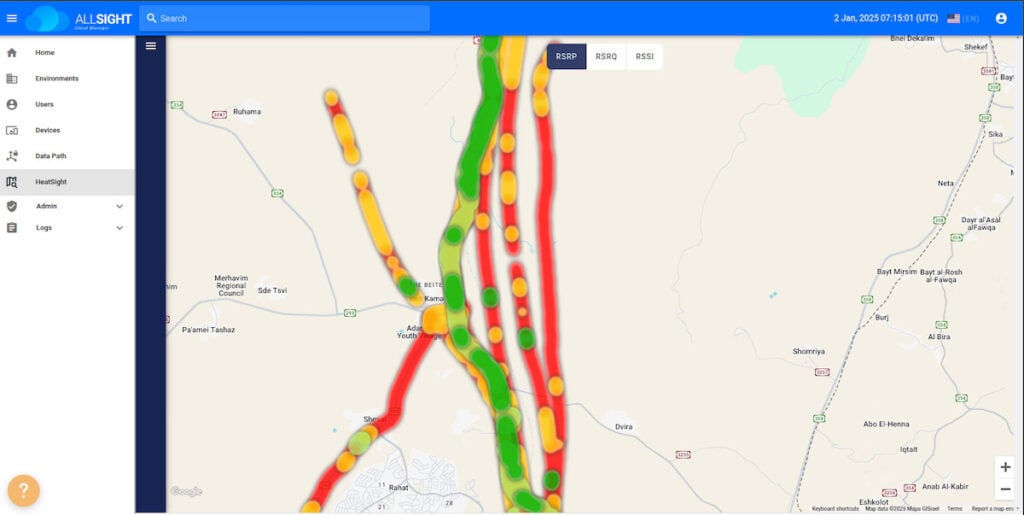
Elsight has launched HeatSight, a signal strength mapping tool that provides UAV operators with reliable cellular coverage data, improving flight planning efficiency and safety for BVLOS missions
Blue Marble Geographics has released Global Mapper SDK v26.0, featuring updated format support, faster drone image processing, and innovative solar analysis
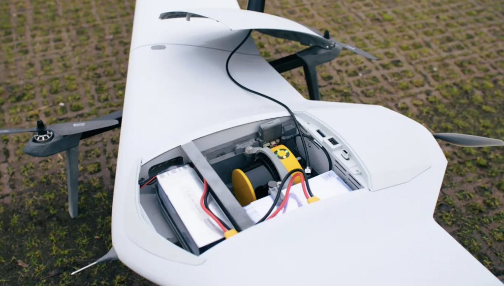
The integration of YellowScan's Surveyor Ultra with the DeltaQuad Evo brings new levels of productivity, allowing users to gather data faster and more efficiently than ever before
RIEGL has launched the extra large field of view VUX-100-25 UAV LiDAR sensor, the RiLOC-F IMU/GNSS system, and the VQ-1560 III-S dual-channel airborne scanner at INTERGEO 2024
Teledyne Geospatial and Inertial Labs have launched EchoONE, an advancement in airborne laser scanning technology that integrates LiDAR and camera technology with the Remote Sensing Payload Instrument (RESEPI)
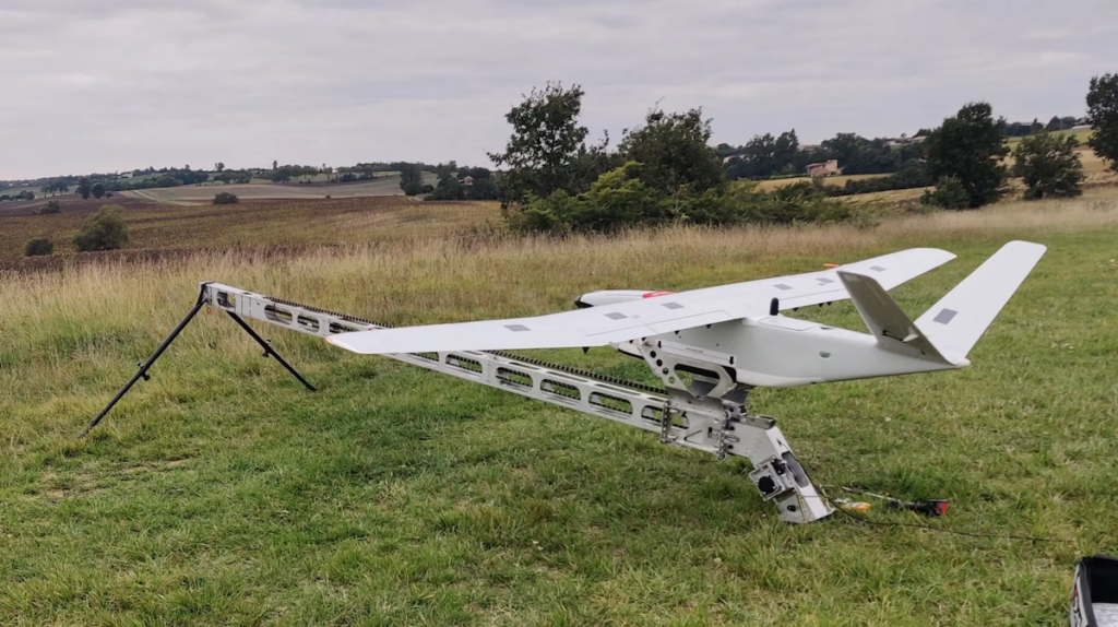
Unveilled at INTERGEO 2024, DELAIR and YellowScan’s new DT46 drone integrates the Voyager LiDAR system with a long-endurance fixed-wing platform, enhancing aerial inspection capabilities
Advancing Unmanned Systems Through Strategic Collaboration
UST works with major OEMs to foster collaboration and increase engagement with SMEs, to accelerate innovation and drive unmanned systems capabilities forward.