The Inspired Flight and Phase One P3 integration solution enables complete camera control and the ability to write GNSS data directly on the image for photogrammetry and inspection applications
With expected participation of 800+ attendees from more than 75 countries, the Geospatial World Forum is set to be a global gathering of industry leaders, innovators, and experts from the geospatial industry
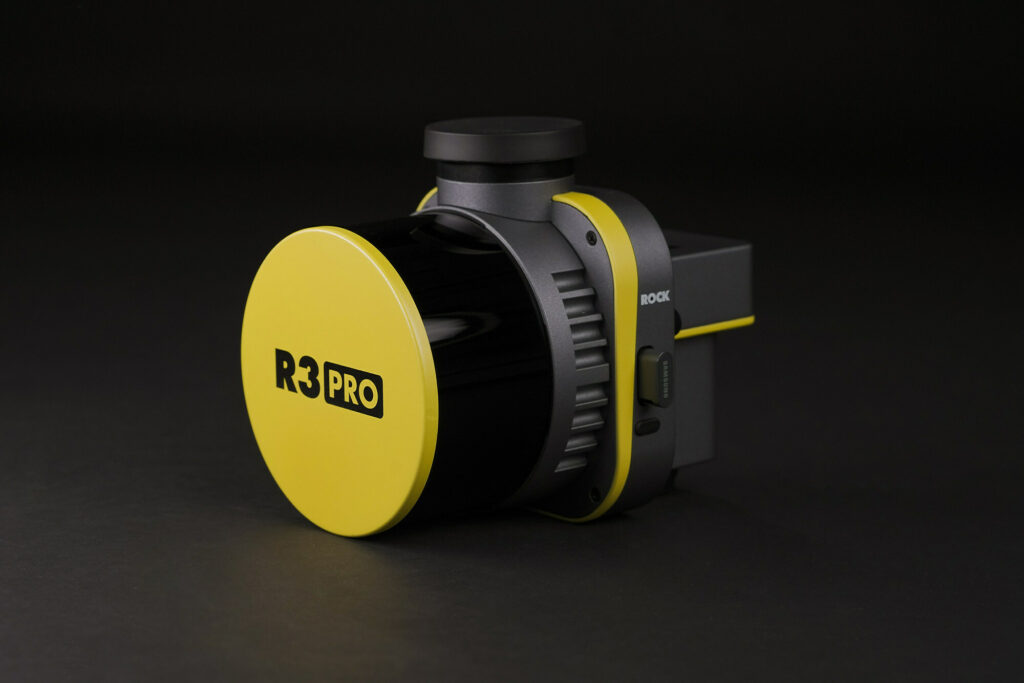
ROCK Robotic’s R3 and R3 PRO are surveying tools designed to capture unprecedented, accurate 3D LiDAR and photogrammetry data for commercial land surveyors and mapping professionals
A Memorandum of Understanding signed by Saildrone and Seabed 2030 outlines a shared commitment to leveraging technological innovation to make bathymetric data available to the global community
Austal Australia and Saildrone will manufacture the Saildrone Surveyor in Australia for deep ocean mapping and ISR applications, above and below the surface
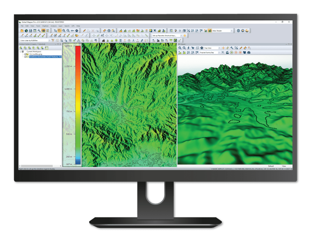
Both Software Development Kits (SDKs) allow developers to utilize functionality from Global Mapper in their own applications and create custom toolbars and extensions for the latest versions of Global Mapper
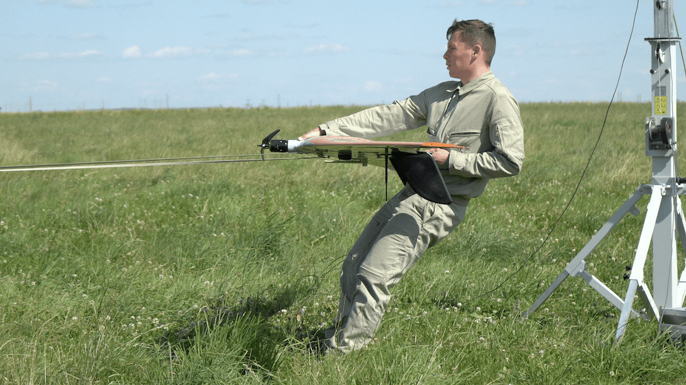
UAVOS used a solution based around its fixed-wing Borey UAS with a multispectral sensor payload designed to provide both spatial and temporal resolution for better understanding of soil moisture levels
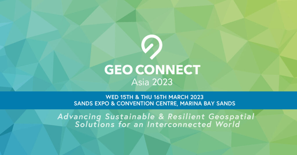
The event spotlights sustainability and resilience in the geospatial field, and is co-located with Digital Construction Asia 2023 and the inaugural Drones Asia
Visitors are encouraged to visit the company at Geo Week in Denver, February 13-15, for a first-hand look at the single-source mapping solutions and workflows available
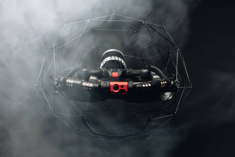
The Department of Energy contractor Idaho Environmental Coalition was able to get all the LiDAR data it needed to create a robust 3D map of the vault in just one seven-minute flight of Flyability’s Elios 3
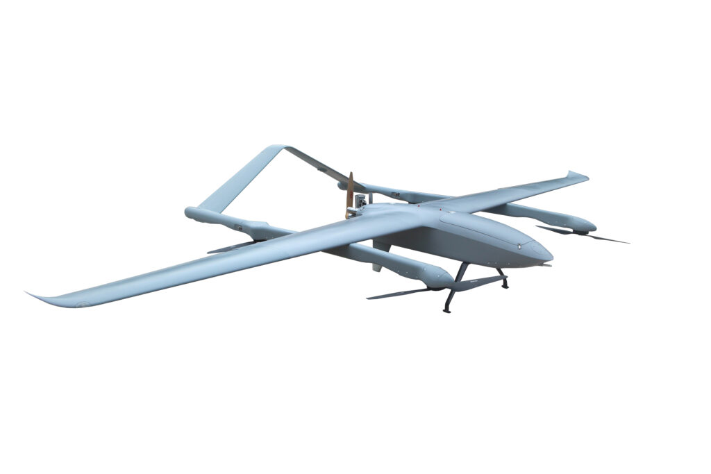
FlyDragon Drone Tech has released the FDG50F, an ultra-long endurance hybrid VTOL UAV designed for surveying and mapping, with LiDAR payload and BVLOS capability
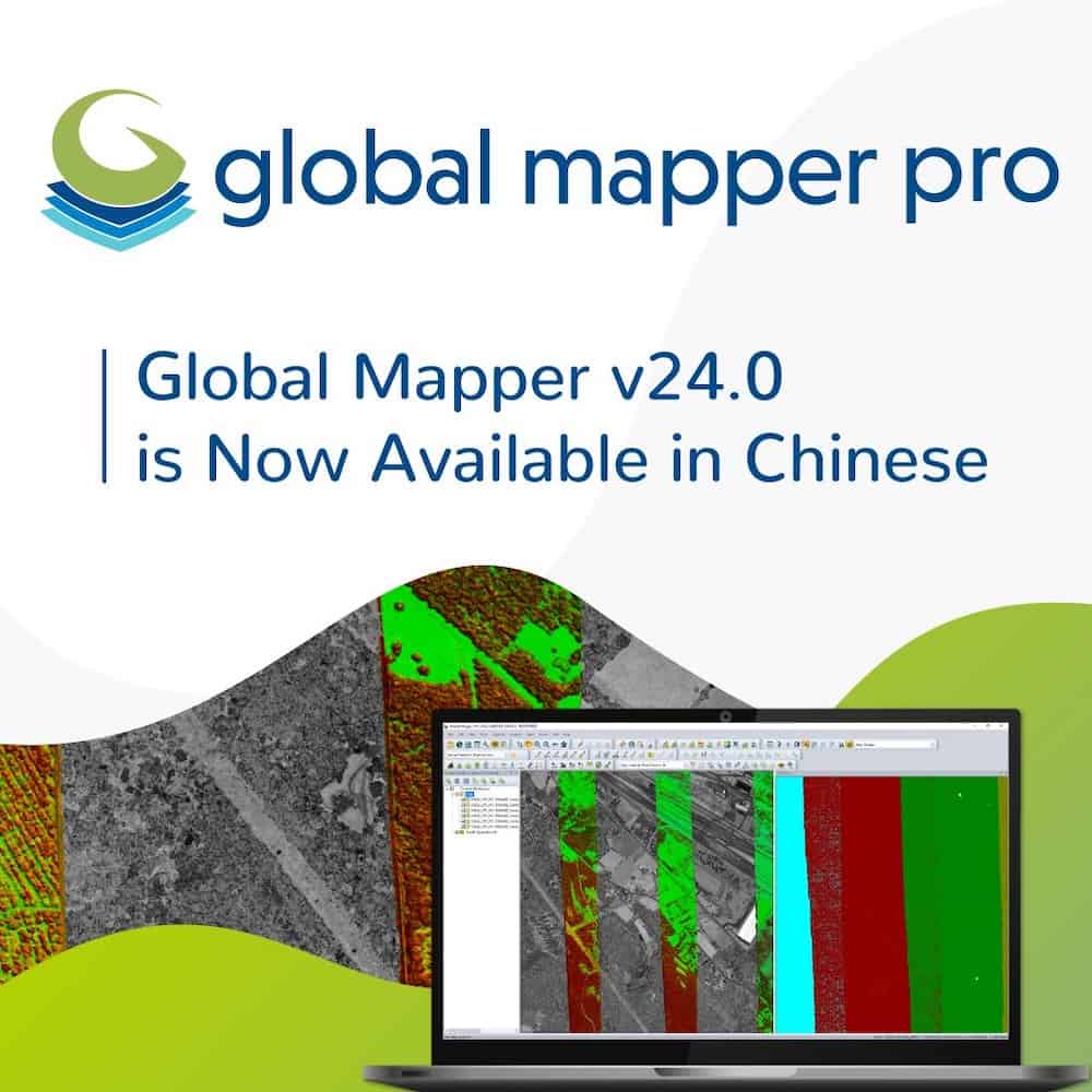
The Chinese language version of Blue Marble Geographics’ Global Mapper 24.0 was developed in partnership with the company’s certified product distributor for China, Beijing E-Carto Technologies
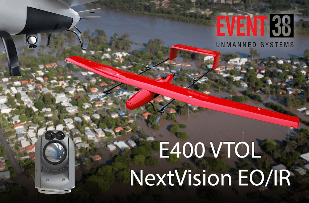
Combining NextVision’s EO/IR camera with Event 38’s E400 drone creates a powerful tool for search-and-rescue, emergency management, and disaster response scenarios
Presagis has teamed with Kambill Systems and its HelloGeo cloud platform to deliver fast and accurate large-area mapping services to civilian and defense survey organizations
The Aerospace Corporation’s retro-reflector spectroscopy system is implemented in Censys’ RetraSpectra system which enables long-range intelligence gathering for 3D mapping of methane, carbon dioxide and other greenhouse gases
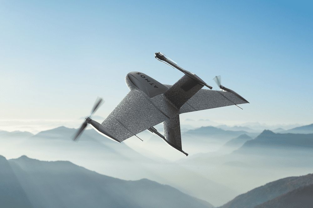
Volatus Aerospace will be responsible for the distribution of Atmos’ Marlyn Cobalt survey drones in Canada, and will provide assistance and maintenance services to local UAV operators
Blue Marble Geographics’ Global Mapper Pro v24 includes workflow optimization tools such as recorded script building, GPU-acceleration of Pixels to Points, and a tool for merging changes from Global Mapper Mobile field collected data
Software provided by Teledyne CARIS was used to monitor data quality and coverage, with new data being compared to previous maps to assess the effects of the eruption on marine life and seafloor composition
Advancing Unmanned Systems Through Strategic Collaboration
UST works with major OEMs to foster collaboration and increase engagement with SMEs, to accelerate innovation and drive unmanned systems capabilities forward.