Mapping & GIS News & Articles

GEO Business is Back at ExCeL London 18-19 May

GEO Business is the UK’s largest geospatial event designed for everyone involved in the gathering, storing, processing and delivery of geospatial information

Mar 22, 2022
Global Mapper GIS Software Updated

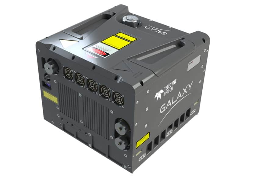
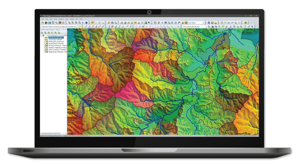
New features expand the all-in-one GIS software's capabilities for drone data processing for point cloud creation, advanced lidar and terrain analysis, and more

Mar 21, 2022
GuardianUTM Cloud Chosen for Ordnance Survey Flight Planning Platform 

Ordnance Survey will incorporate Altitude Angel’s GuardianUTM Cloud platform into its in-house survey planning software, which is used to determine...

Mar 01, 2022
Teledyne Geospatial LiDAR System Wins Technology Awards

Teledyne Geospatial has confirmed that its next generation Optech CZMIL SuperNova topographic & bathymetric LiDAR system has been awarded both...

Feb 23, 2022
Phase One Selects New Distributor for Germany and Austria

Phase One has selected Globe Flight GmbH as a reseller for the company’s range of unmanned aerial vehicle (UAV) imaging...

Feb 10, 2022
Gavia AUVs Provided to Maritime Survey Operator

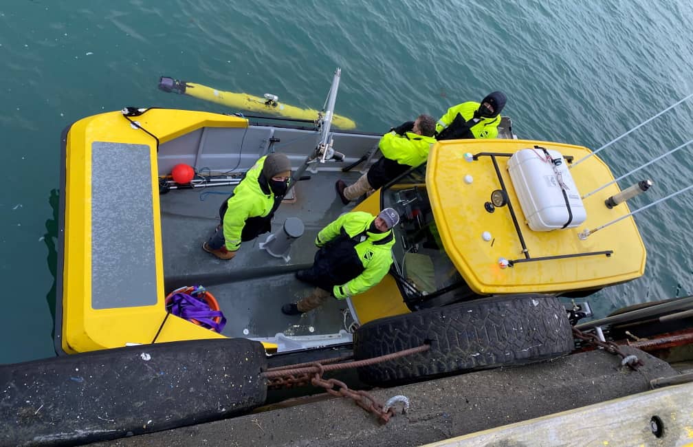
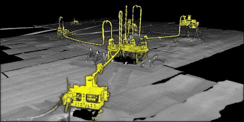
Teledyne Marine has confirmed that maritime data collection and management company Terradepth has acquired three Teledyne Marine Gavia autonomous underwater...

Feb 01, 2022
Canadian Coast Guard Conducts Offshore Sea Trials of VTOL UAS

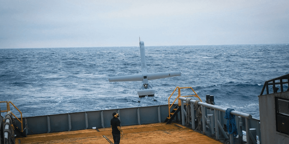
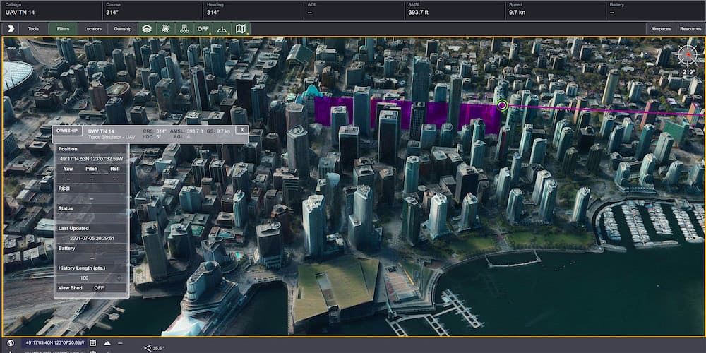
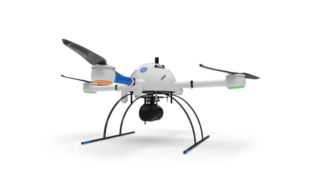
Kongsberg Geospatial conducted Beyond Visual Line Of Sight (BVLOS) endurance and intelligence gathering trials of the Shield AI V-BAT UAS in a variety of sea states and weather conditions

Jan 27, 2022
Last Chance to Register for Maritime Reconnaissance and Surveillance Technology Conference

Registrations are closing for SMi’s 7th Annual Maritime Reconnaissance and Surveillance Technology Conference, taking place on 2nd – 3rd February 2022 in London, UK. During the two-day event, participants will learn about the latest technological developments from industry expert presentations focusing on optimising Maritime Reconnaissance and Surveillance Technology. The event will also facilitate the development of new partnerships to advance projects.

Jan 26, 2022
Aerial LiDAR Mapping Technology Firm Joins mdGroup

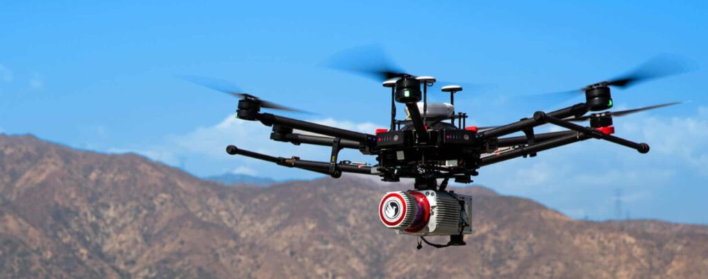
mdGroup, parent company of Microdrones, has acquired aerial LiDAR mapping technology firm GeoCue Group, Inc. from its founders for an undisclosed amount....

Jan 18, 2022
Wide-Area 120MP UAV Camera Launched

Phase One has launched the iXM-GS120, a new camera for UAVs (unmanned aerial vehicles) designed to meet the demanding needs...

Jan 17, 2022
Latest Surfer Surface Mapping Package Enables Map Making and Data Export

Golden Software has enhanced the map-making functionality and data exporting capabilities in the latest version of its Surfer surface mapping...

Jan 13, 2022
Geo Connect Asia 2022 Event Grows to Host Fast-Developing Industry Solutions

International events organiser Montgomery Asia announced today that flagship geospatial and location intelligence industry trade show and conference for Southeast...

Dec 15, 2021
Automated Privacy Solution for Mobile Mapping Data

CHC Navigation (CHCNAV) has partnered with Celantur, a developer of automated solutions to anonymize personal data captured by mobile mapping...

Dec 07, 2021
3D Thermal Mapping with Autonomous Unmanned Airship

Phase One has released a case study showing how its iXM-100 camera has been integrated into the Airbus Defence and...

Nov 26, 2021
Teledyne Geospatial to Showcase Lidar Survey & Mapping Solutions

Teledyne Geospatial has confirmed that it will be showcasing its LiDAR survey and mapping solutions at the Geo Business 2021...

Nov 23, 2021
Virtual Showroom for INS Survey and Mapping Launched

OxTS has launched its first ever virtual showroom, providing a new way for visitors to the OxTS website to explore...

Nov 01, 2021
RIEGL UAV LiDAR Wins Geospatial World Innovation Award

RIEGL has confirmed that its VUX-120 LiDAR scanner for UAVs (unmanned aerial vehicles) has received a Geospatial World Innovation Award,...

Oct 22, 2021
Blue Marble Develops Geospatial Data Analysis & Mapping Software for UAVs

Blue Marble Geographics, a leading developer of state-of-the-art software solutions for geospatial professionals, has partnered with Unmanned Systems Technology (“UST”)...

Oct 19, 2021
New Skid Enables Deep Water Laser Survey Mapping from ROVs

Voyis has released the Perception XL, a new 4000m rated laser scanning WROV skid specifically designed for generating extremely detailed...

Sep 24, 2021
Full LiDAR Survey Solutions for UAV & Mobile Mapping

OxTS has released an article detailing the components of full LiDAR surveying solutions for UAV (unmanned aerial vehicle) and mobile...

Sep 16, 2021
UAV Works Develops Electric VTOL Drones for Surveillance, Mapping & Transportation

UAV Works, a leading developer of electric VTOL UAVs (unmanned aerial vehicles), has partnered with Unmanned Systems Technology (“UST”) to...

Sep 08, 2021
Real-time SDK Released for Geospatial Visualization

Kongsberg Geospatial has released the latest version of its TerraLens real-time, high performance, Software Development Kit (SDK) for geospatial visualization...

Sep 08, 2021
Bathymetric LiDAR Solution for Mapping Waters in High-Relief Areas

The Fugro RAMMS, the world’s smallest and lightest deepwater Airborne Lidar Bathymetry (ALB) system, can now be deployed from vessels...

Aug 11, 2021
Bathymetric Mapping & Imaging LiDAR Unveiled

Teledyne Optech has released its third generation Coastal Zone Mapping and Imaging Lidar, the CZMIL SuperNova bathymetric lidar. Powered by...

Jul 15, 2021
Industrial Mapping & Surveying Drone Line Unveiled

New line of industrial VTOL drones will provide surveying professionals with powerful new technology that will enable more efficient, high-accuracy operations with enhanced safety.

Jul 07, 2021
OxTS Selects New US-Based Mapping & Survey Distributor

OxTS has selected California-based GeoNAV Satellite Systems as a new distributor for survey and mapping-related products. GeoNAV will be responsible...

Jun 14, 2021
Advancing Unmanned Systems Through Strategic Collaboration UST works with major OEMs to foster collaboration and increase engagement with SMEs, to accelerate innovation and drive unmanned systems capabilities forward.