


Drone LiDAR
Discover cutting-edge solutions from 4 leading global suppliers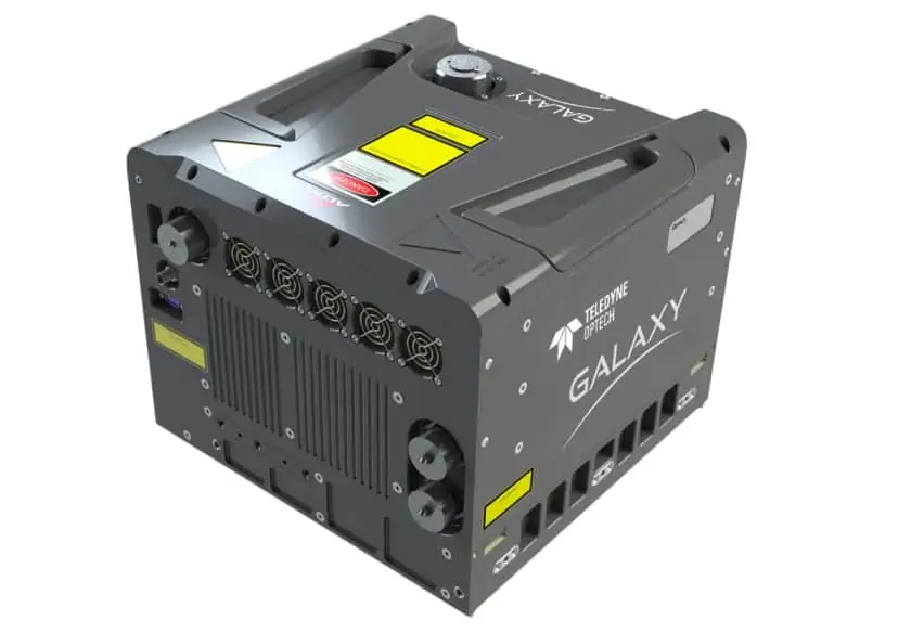
The products being exhibited include:
- The Optech Galaxy airborne laser terrain mapper, designed to handle projects in wide area and corridor mapping
- The Optech CZMIL Super Nova, an advanced LiDAR bathymeter with the the highest green laser point density in its class and real-time processing capability for reduced post-processing time
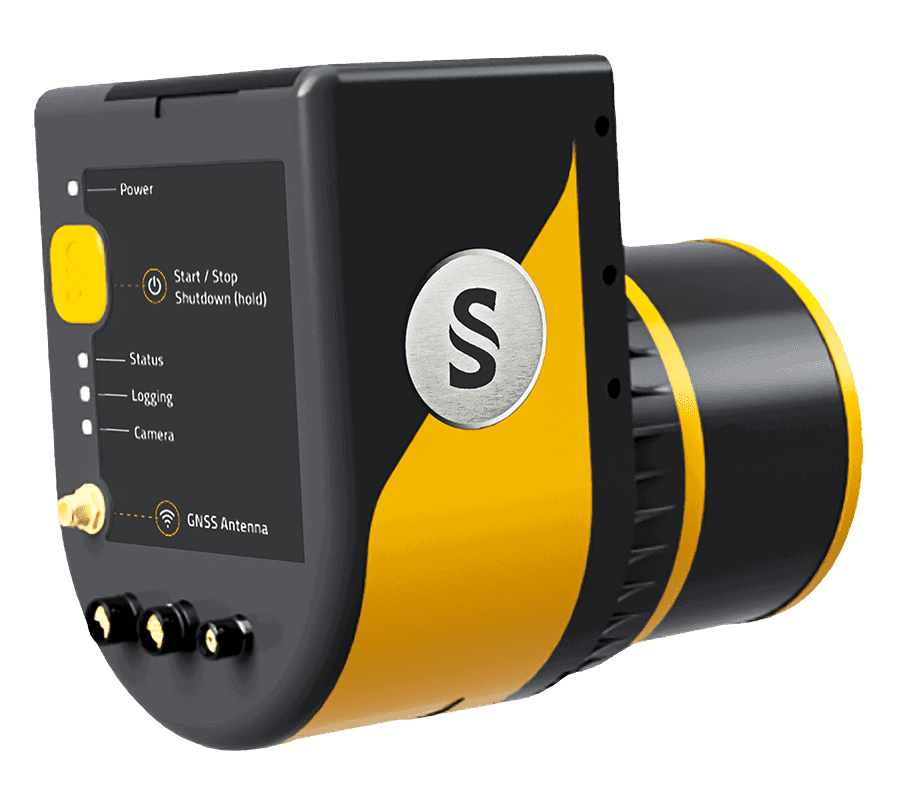
- The Optech CL-360 compact LiDAR, which enables OEM hardware manufacturers and integrators to develop next-generation UAV (unmanned aerial vehicle), mobile, and terrestrial scanning solutions for a wide variety of applications
- CARIS Mira AI software, which is used in airborne LiDAR sensor workflows to classify noise and reduce processing times
Teledyne and its partners will also be conducting a number of presentations at the trade show:
November 24, 9:30 to 10:00 a.m. – Malek Singer, Airborne Product Manager at Teledyne Geospatial, will unpack forestry case studies that leverage Optech airborne lidar to successfully overcome challenging conditions like mountainous terrain, restrictive airspace, limited weather windows, and very dense foliage which typically present significant challenges to acquiring data efficiently.
November 25, 12:10 to 12:30 p.m. – Malek Singer will conduct a technical discussion on Galaxy – Hyper-Realistic Airborne Mapping that will expose specs and applications of the Galaxy T2000 and G2 Sensor System.
November 25, 12:00 to 12:30 p.m. – Teledyne CARIS and the UKHO will conduct a presentation on the use of AI bathymetric cleaning tools to support successful seabed mapping.


