If you design, build or supply LiDAR for Aerial Survey and Mapping, create a profile to showcase your capabilities and connect with visitors who have an active requirement for your solutions.
...ation airborne LiDAR system designed for high-precision geospatial mapping and unmanned aerial... ...anced airborne LiDAR solution engineered for UAV-based mapping and high-accuracy geospatial data...
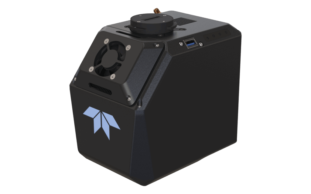
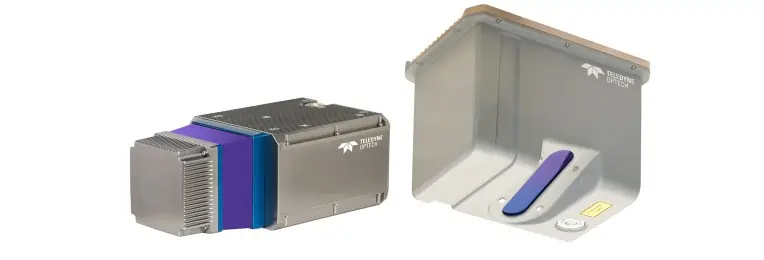
Bathymetric LiDAR for littoral surveillance & coastal mapping
Bathymetric LiDAR for littoral surveillance & coastal mapping
...hbroom Imaging LiDAR for Littoral Surveillance) is a Joint ONR NAVAIR-funded SBIR program that... ... IHO-compliant LiDAR systems compatible with tactical UAS. In addition, Areté has collaborated with...
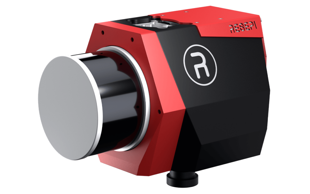
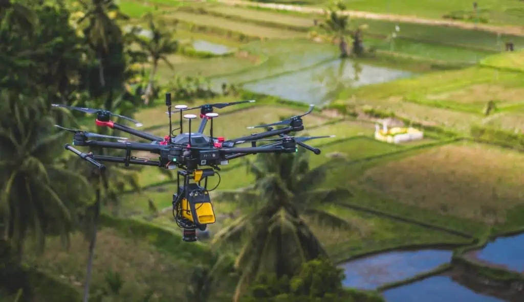
UAV LiDAR Scanner with Extra Large Field of View for Wide Area Coverage
UAV LiDAR Scanner with Extra Large Field of View for Wide Area Coverage
... and versatile LiDAR scanner that provides an extended field of view of 160 degrees for extra-wide... ...standalone UAV LiDAR sensor and also in various fully-integrated UAV-based laser scanning system...
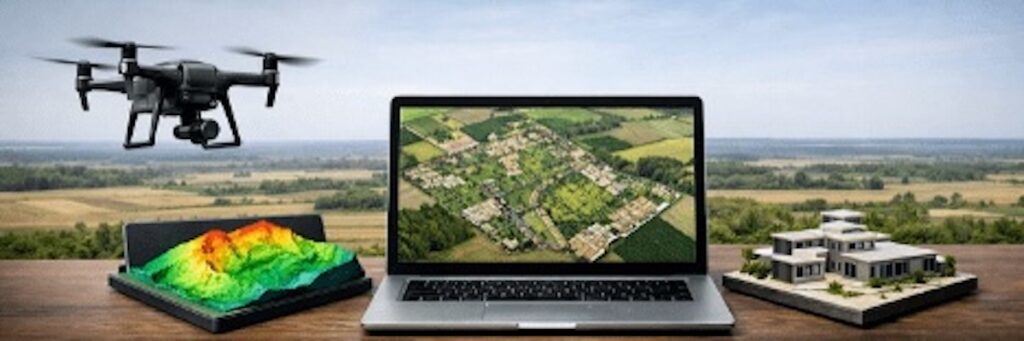
LiDAR is a distance-measuring and imaging technology that uses pulses of light from a laser beam utilizing the ultraviolet, visible or infrared portions of the electromagnetic spectrum.
LiDAR mapping technology uses measurements of reflected laser pulses to produce highly accurate maps and elevation models of terrain and buildings. LiDAR mapping payloads may be fitted to drones, UAVs (unmanned aerial vehicles), USVs (uncrewed surface vessels), UGVs (unmanned ground vehicles) and robots.
Drone LiDAR surveys are carried out with unmanned aircraft and gather data that can be used to create 3D digital terrain or elevation models. Depths of water features can also be measured using bathymetric LiDAR. Unmanned LiDAR systems offer significant time and cost savings over traditional manned mapping and surveying methods.
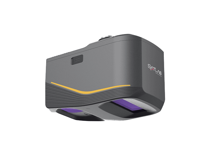
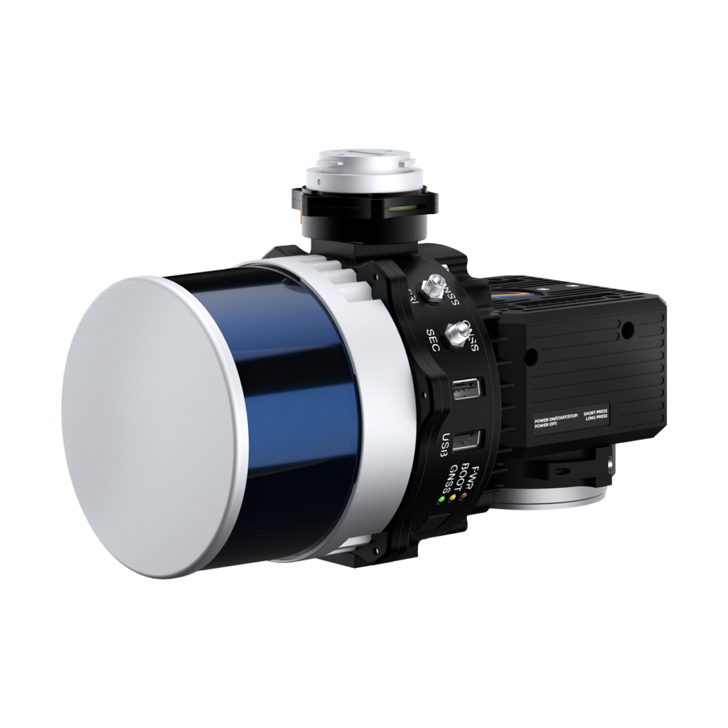
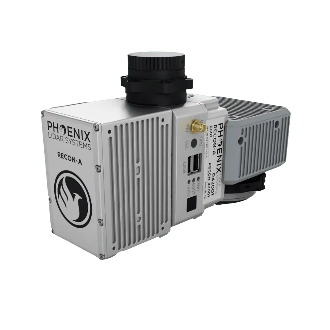
Survey-Grade UAV LiDAR Sensors by Teledyne Geospatial
LiDAR Mapping with Drones
LiDAR technology has many applications and is especially ideal when high-accuracy measurements are required, or when the area under survey or inspection is dangerous or physically difficult to reach. Drone LiDAR mapping using UAVs provides many additional benefits, including reduced mission time and manpower requirements, and the ability to obtain quicker results by gathering all required data in a single pass.
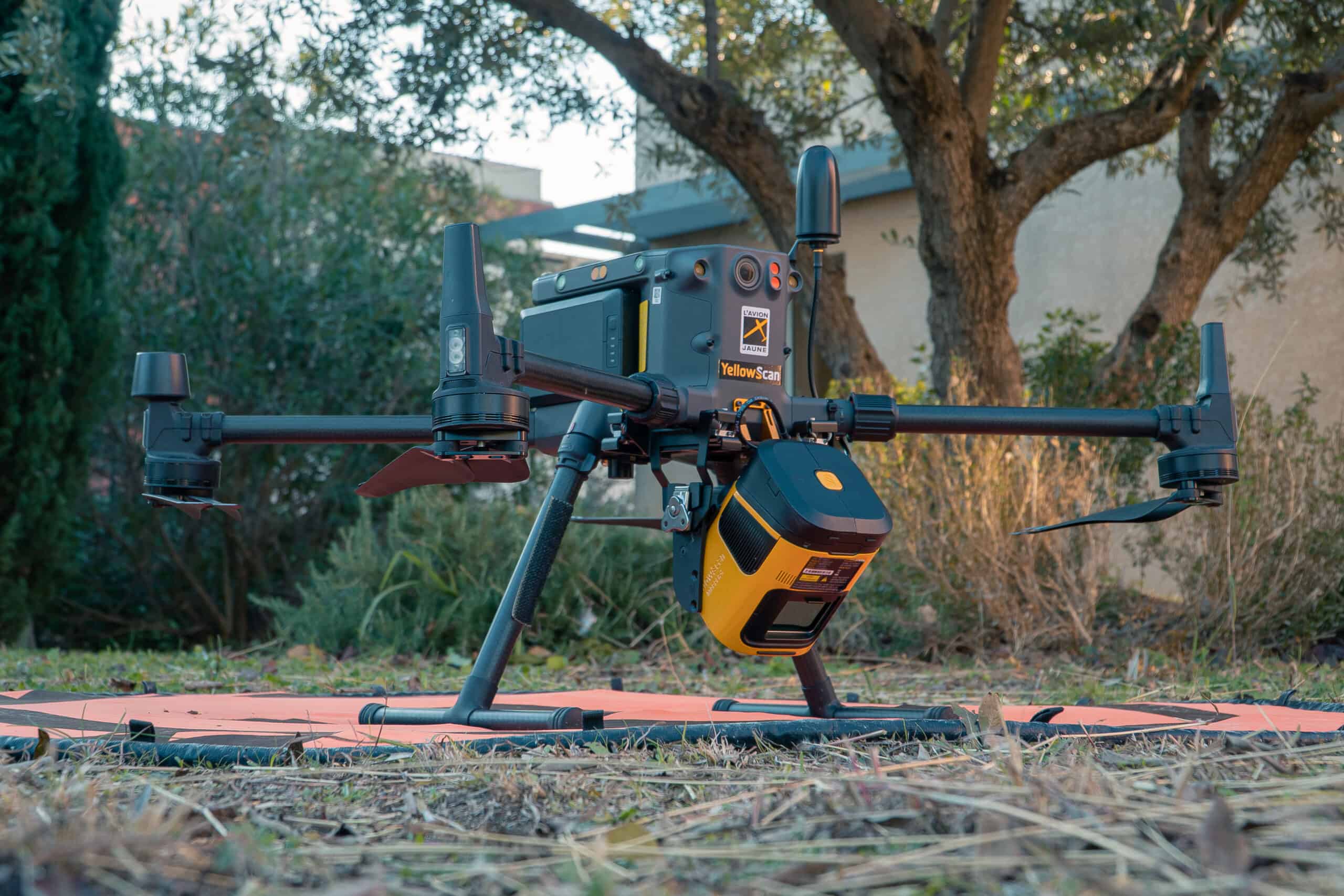
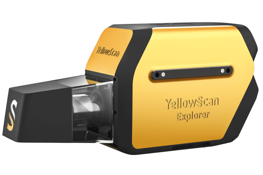
YellowScan LiDAR for Aerial Mapping & Survey
UAV LiDAR Survey & Mapping Applications
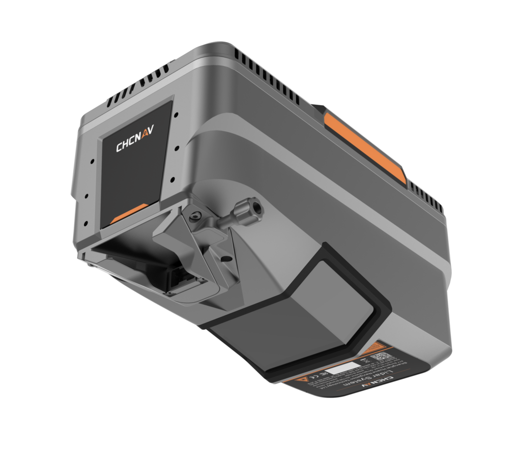
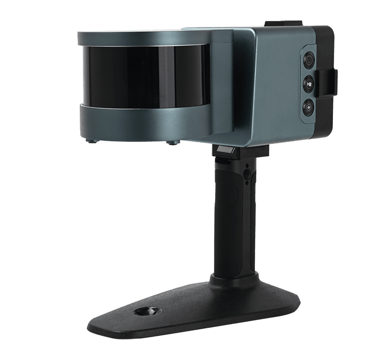
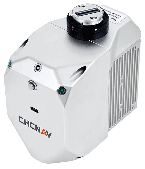
AA450 LiDAR Scanner by CHC Nav
Modern LiDAR scanners are capable of achieving a wide field of view (FOV) and offer 360 degree visibility and very high data rates. LiDAR mapping has been used in surveying, cartography, agriculture, forestry, meteorology, mining, environmental management, inspection of utility lines and transport networks, and many other fields.
Topographic LiDAR for Terrain Mapping
Topographic LiDAR refers to the application of LiDAR scanning to land-based mapping. LiDAR terrain mapping is typically carried out using a near-infrared (NIR) laser to capture a high-density point cloud that can be used to generate high-precision 3D maps and models of the Earth’s surface.
UAV topographic LiDAR payloads may incorporate a GPS receiver and an INS (inertial navigation system), in order to ensure that the location of each data point captured is highly accurate. Data can also be run through LiDAR post-processing software to further improve precision and accuracy.
How Accurate is LiDAR Mapping?
The accuracy of LiDAR mapping depends on the equipment used, the distance to the target, post-processing of the data and many other factors. It is possible to achieve sub-centimetre accuracy. Unmanned aerial lidar survey payloads can also be customised to include photogrammetry, hyperspectral and thermal imaging technology.
The launch of CHC Navigation's new premium airborne LiDAR system delivers ultra long range laser scanning and high precision orientation architecture to optimize wide area geospatial mapping across complex and changing terrain
RIEGL discusses how its airborne and UAV LiDAR scanning technologies are helping researchers reveal concealed terrain features beneath dense vegetation and identify wartime relics and heritage sites across Hong Kong and Malaysia
YellowScan recently hosted its sixth LiDAR Convention in Aix-en-Provence, bringing together a global audience of surveyors, engineers, researchers, drone manufacturers, and industry partners
Blue Nose Aerial Imaging outlines the core principles of drone mapping, explaining how photogrammetry and LiDAR workflows are used to generate accurate geospatial deliverables for analysis and decision-making
YellowScan LiDAR Convention 2026 will bring industry professionals together in France to explore market trends, real-world applications, and the latest developments in LiDAR technology and workflows
A helicopter-based survey featuring RIEGL VUX-120 and VQ-840-G sensors delivers a seamless topo-bathymetric model for flood protection and hazard planning
YellowScan debuted a new survey-grade solution at Geo Week 2026 focusing on local data processing and universal UAV compatibility for demanding environments
Riegl demonstrates how advanced bathymetric LiDAR waveform processing enables accurate river bed mapping in turbulent whitewater mountain river environments
Feb 04, 2026
Advancing Unmanned Systems Through Strategic Collaboration
UST works with major OEMs to foster collaboration and increase engagement with SMEs, to accelerate innovation and drive unmanned systems capabilities forward.