


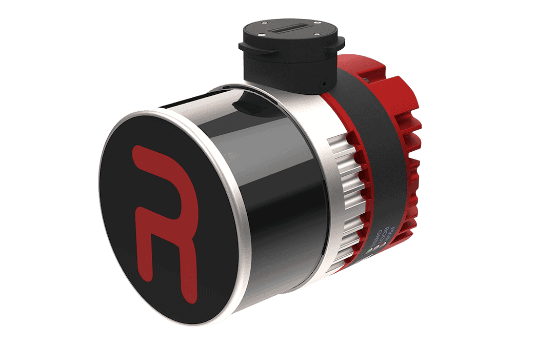
RESEPI™ Ultra LITE is a lightweight LiDAR scanning and mapping solution from Inertial Labs, combining an XT-32 LiDAR scanner, GPS-aided INS, and integrated 5MP colorization camera in a compact payload for drone-based 3D mapping.
Designed for professional UAV survey missions, the system supports accurate point cloud capture, high point density, and streamlined integration with selected Freefly, WISPR, and DJI aircraft via SnapFit adapters.
The payload is suited to aerial scanning, handheld SLAM, and vehicle-mounted mobile mapping workflows, supporting applications such as infrastructure surveying, utilities mapping, construction volumetrics, forestry, mining, precision agriculture, and site documentation. RESEPI Ultra LITE supports RTK and PPK operation, multi-constellation GNSS, post-processing, strip alignment, coordinate transformation, batch processing, and noise filtering, while its 1.2 kg weight and 9–45 VDC input support integration with compact uncrewed platforms.
Specifications:
| Weight: | 1.2 kg |
| Dimensions: | 13.1 x 11.2 x 10.3 cm |
| LiDAR sensor: | XT-32, 32 channels |
| Range capability: | 0.05 to 120 m |
| Range accuracy: | ±1 cm |
| System accuracy: | 2–3 cm |
| Positioning modes: | RTK and PPK |
| Colorization camera: | Integrated 5MP camera |
| Recommended AGL: | Up to 100 m |
| Power: | 9–45 VDC, 14.5 W |





