Environmental monitoring drones are Unmanned Aerial Vehicles (UAVs) equipped with specialized sensors for collecting environmental data and assessing ecological conditions. Available in multirotor, fixed-wing, and hybrid Vertical Take-Off and Landing (VTOL) configurations, these platforms support air quality monitoring, greenhouse gas detection, wildlife surveys, vegetation mapping, water quality assessment, and disaster response.
This page features suppliers of drones for environmental monitoring, integrating technologies such as multispectral imaging, thermal cameras, LiDAR, and gas detection sensors.
If you design, build or supply Environmental Monitoring Drones, create a profile to showcase your capabilities and connect with visitors who have an active requirement for your solutions.
The Technical Guide to Environmental Monitoring Drones
Overview by
William Mackenzie
Updated:
Introduction to Environmental Monitoring Drones
Environmental monitoring drones are Unmanned Aerial Vehicles (UAVs) equipped with specialized sensors and payloads for collecting data on environmental conditions, natural resources, and ecological changes. These platforms support aerial surveys, environmental inspections, and remote sensing operations, enabling researchers, conservation organizations, and environmental agencies to monitor areas that may be difficult, hazardous, or costly to assess using ground-based methods.
Drones for environmental monitoring are available in multirotor, fixed-wing, and hybrid Vertical Take-Off and Landing (VTOL) configurations. Depending on the platform and payload, they can support air quality monitoring, greenhouse gas detection, wildlife surveys, vegetation mapping, water quality assessment, and disaster response. Environmental survey drones can also conduct repeatable autonomous missions, combining positioning data with sensor measurements to generate georeferenced datasets for long-term monitoring and environmental impact assessments.
Applications of Drones for Environmental Monitoring
Air Quality Compliance and Greenhouse Gas Monitoring
Air quality monitoring drones equipped with gas detection and particulate matter sensors can measure airborne pollutants, including methane, carbon dioxide, and suspended particles. Gas detection drones are used to investigate industrial emissions, landfill gases, and pollution plumes, while air sampling drones can collect atmospheric samples for laboratory analysis.
A methane detection drone may incorporate a laser-based or other methane-sensitive detector to identify and localize potential emission sources. Appropriate sensor calibration and positioning relative to rotor downwash are important for obtaining reliable concentration measurements. These capabilities support environmental inspections, emissions monitoring, and regulatory compliance investigations.
Forest Health and Vegetation Monitoring
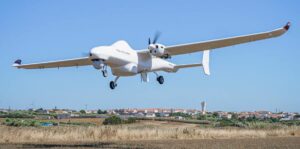
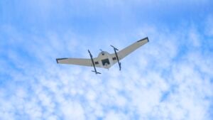
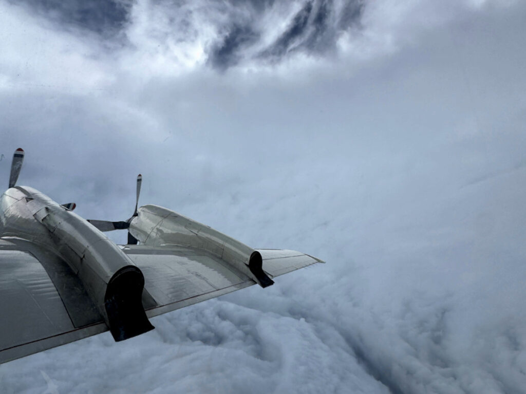
Scientific Research and Meteorological UAV by Black Swift Technologies
Forest monitoring drones use multispectral cameras, thermal sensors, and Light Detection and Ranging (LiDAR) systems to assess vegetation condition, canopy structure, and changes in forest cover. Forestry monitoring drones can identify areas potentially affected by drought, disease, fire damage, or vegetation loss, supporting forest management and ecological research.
Remote sensing drones also provide high-resolution imagery and three-dimensional data for vegetation classification, biomass estimation, and monitoring the progress of restoration projects.
Wildlife Population Tracking and Habitat Assessment
Wildlife monitoring drones support population surveys, habitat mapping, and biodiversity assessments across protected and remote environments. Thermal imaging and high-resolution optical cameras enable wildlife survey drones to detect animals, estimate population numbers, and observe habitat use without requiring direct human access.
Conservation drones can also support species tracking by monitoring animal movements or locating compatible tagged animals using specialized receivers. Flight planning must account for species-specific disturbance risks, appropriate separation distances, and applicable wildlife protection requirements.
Water Quality Monitoring and Sampling
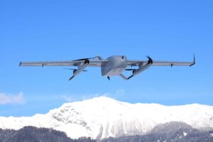
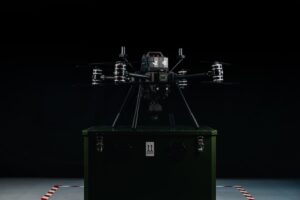
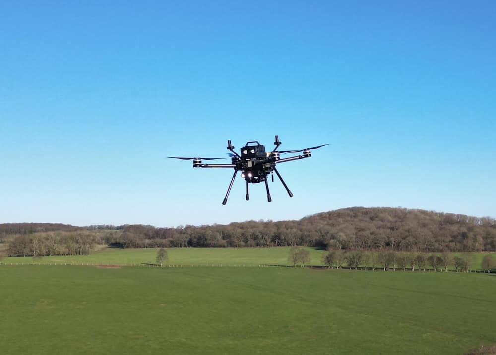
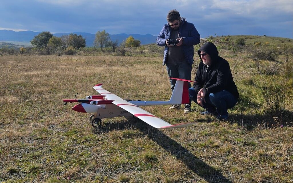
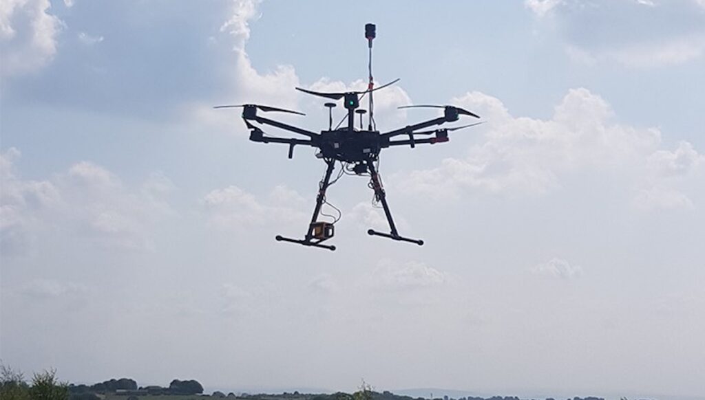
Sensus M Drone for Environmental Monitoring by ISS Aerospace
UAVs equipped with multispectral or hyperspectral imaging systems can assess optical indicators of surface water conditions, including suspended sediment and potential algal blooms. Specialized water sampling drones can collect physical samples from designated locations, while contact sensors may directly measure parameters such as temperature, pH, and dissolved oxygen. Optical measurements may require calibration against field samples to support reliable interpretation.
Soil Erosion and Land Degradation
Environmental survey drones equipped with photogrammetry cameras or LiDAR sensors can generate detailed terrain models for assessing soil erosion, sediment movement, and changes in land surfaces. Land survey drones support the identification of erosion features, unstable slopes, and areas affected by land degradation. Repeated aerial surveys allow researchers to quantify landscape changes over time, supporting environmental impact assessments, watershed management, and restoration planning.
Disaster Damage Assessment
Drones used for environmental monitoring can assess ecological damage following wildfires, flooding, storms, and industrial incidents. Optical, thermal, and multispectral sensors help identify damaged vegetation, flood extent, potentially pollution-affected areas, and changes in terrain conditions.
Some environmental inspection drones can rapidly survey hazardous or inaccessible locations, providing geospatial information to support emergency response, environmental remediation, and long-term recovery monitoring.
Sensors & Payloads for Environmental Monitoring Drones
Environmental monitoring UAVs can integrate imaging, detection, and sampling technologies according to the measurements required. Sensor outputs can be combined with positioning and timing data to generate georeferenced measurements, imagery, and maps. The following table compares common drone-mounted environmental sensors, their measurement capabilities, and principal applications.
Sensor or Payload
Measurement Capabilities
Environmental Applications
Multispectral Cameras
Reflectance measurements across selected spectral bands, commonly including visible and near-infrared wavelengths
Vegetation health assessment, habitat classification, and water surface monitoring
Hyperspectral Imaging Systems
Detailed spectral measurements across numerous narrow, contiguous wavelength bands
Vegetation analysis, environmental classification, and water quality assessment
Thermal Imaging Cameras
Thermal radiation measurements and apparent surface temperature mapping
Wildlife detection, vegetation stress assessment, and thermal anomaly identification
LiDAR Sensors
Three-dimensional distance measurements and point cloud generation
Terrain modeling, forest canopy analysis, and erosion monitoring
Gas Detection Sensors
Detection or concentration measurement of target gases such as methane and carbon dioxide
Emissions monitoring, pollution investigations, and atmospheric surveys
Particulate Matter Sensors
Measurement of airborne particle concentrations within specified size ranges
Air quality assessment, industrial pollution monitoring, and aerosol studies
Meteorological Sensors
Atmospheric temperature, humidity, pressure, and wind measurements
Weather observations, atmospheric profiling, and environmental research
Water Sampling and Contact Sensors
Physical water sample collection or direct measurement of selected water quality parameters
Freshwater monitoring, aquatic research, and pollution assessment
Autonomous flight capabilities allow environmental monitoring drones to collect consistent, georeferenced datasets across defined survey areas. Common mission planning and data collection functions include:
Automated Grid and Corridor Surveys: Predefined flight paths enable systematic coverage of forests, coastlines, waterways, and other environmental monitoring areas.
Repeatable Environmental Monitoring Missions: Stored flight plans support recurring surveys using consistent flight paths, altitudes, and sensor configurations to assess environmental changes over time.
Terrain Following and Low-Altitude Surveying: Terrain-aware flight control helps maintain consistent survey heights over variable topography, supporting uniform image resolution and sensor measurement conditions.
Waypoint-Based Sensor Sampling: Programmable waypoints enable environmental monitoring UAVs to capture imagery, activate sensors, or collect measurements at predefined locations.
Beyond Visual Line of Sight (BVLOS) Monitoring: Appropriately equipped and authorized drones can conduct extended surveys across remote ecosystems, large conservation areas, and distributed monitoring locations.
Real-Time Monitoring and Adaptive Survey Planning: Compatible onboard processing and communications systems allow operators or autonomous software to adjust survey paths in response to detected environmental conditions.
These capabilities support efficient environmental data collection, improve survey repeatability, and reduce the need for personnel to access difficult or hazardous terrain.
Emerging Developments in Environmental Monitoring Drones
Advances in sensor technology, onboard processing, and autonomous flight systems are expanding the capabilities of environmental monitoring drones. Key developments include:
Miniaturized Environmental Sensors: Advances in compact gas detection, particulate matter, and atmospheric sensing payloads are expanding the range of environmental measurements that can be collected by smaller UAVs.
AI-Assisted Environmental Analysis: AI and machine learning are increasingly used to automate vegetation classification, wildlife detection, pollution mapping, and environmental change analysis.
Autonomous Long-Endurance Monitoring: Developments in energy management, autonomous mission control, and automated docking and charging infrastructure are improving the practicality of recurring environmental surveys.
Real-Time Pollution Mapping: Integrated environmental sensors, positioning systems, and onboard data processing capabilities are enabling near-real-time pollution mapping and supporting more targeted investigations of emission sources.
These developments are improving the efficiency, spatial coverage, and responsiveness of drone-based environmental monitoring, supporting more frequent observations and data-driven environmental management.
Project REPARE leverages advanced Deep Trekker ROV technology and aerial photogrammetry to restore native flat oyster populations in Southern Brittany through comprehensive underwater monitoring and assessment
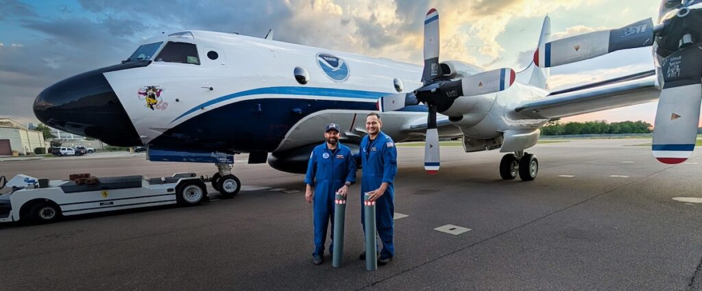
Black Swift Technologies and NOAA have demonstrated simultaneous multi-UAS hurricane sensing launched from a crewed aircraft, enabling persistent, low-altitude atmospheric data collection to improve tropical cyclone forecasting
BraveX explains how its rugged fixed wing and vertical take-off and landing drones support environmental agencies with aerial monitoring, data collection, and compliance tasks across remote or hazardous areas
Xer Technologies has confirmed its public listing on a Swedish stock market, with shares trading under the ticker symbol RVN, soon to change to XER, providing the company with funding to refine its technology, grow production, and scale into additional markets
Black Swift Technologies highlights its 2025 UAS operations, detailing the S0 flights into Hurricane Melissa, Project CRATER S2 missions in Costa Rica collecting volcanic and ecological data, and hands-on training provided to research teams worldwide
A drone equipped with FT Technologies’ wind sensor supported AMAYA and INFOCA’s wildfire monitoring efforts in Andalusia, Spain, delivering accurate, real-time wind data to improve night-time firefighting operations
Black Swift Technologies discusses the CRATER mission at Poás, using robust sensor platforms, high-resolution DEMs, and the SwiftCore autopilot to maintain reliable data collection and control during multi-aircraft UAS flights in a terrain-occluded volcanic crater
OceanAlpha has delivered its L42 unmanned surface vessel (USV) to Compass Survey in Nigeria, supported by on-site training, while also launching its Global Strategic Partner Program worldwide
The latest unmanned systems news, straight to your inbox.
Get our weekly roundup of technology developments, new products and industry news.
THANK YOU FOR SIGNING UP
Thanks for joining us. Check your inbox.
We've sent you an email. Click the confirmation link to complete your subscription to the weekly eBrief. In the meantime, explore the latest news, suppliers and technologies on UST.
Advancing Unmanned Systems Through Strategic Collaboration
UST works with major OEMs to foster collaboration and increase engagement with SMEs, to accelerate innovation and drive unmanned systems capabilities forward.