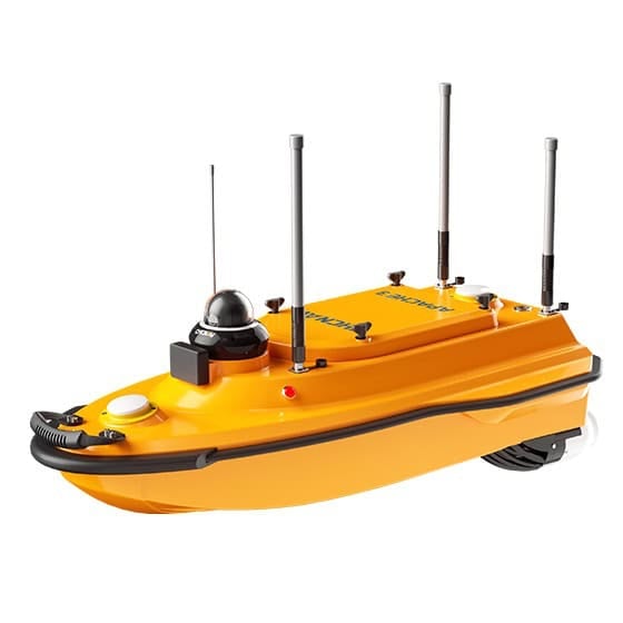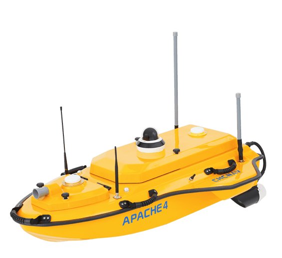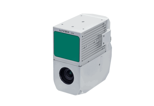


CHC Navigation (CHCNAV) delivers cutting-edge navigation, positioning, and mapping technologies for diverse applications spanning geospatial, construction, navigation, and agriculture sectors. The company’s comprehensive solutions include land, marine and airborne surveying, GNSS systems, 3D LiDAR reality capture, precision agriculture tools, unmanned navigation, robotics, and real-time GNSS infrastructure.


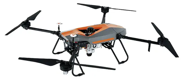
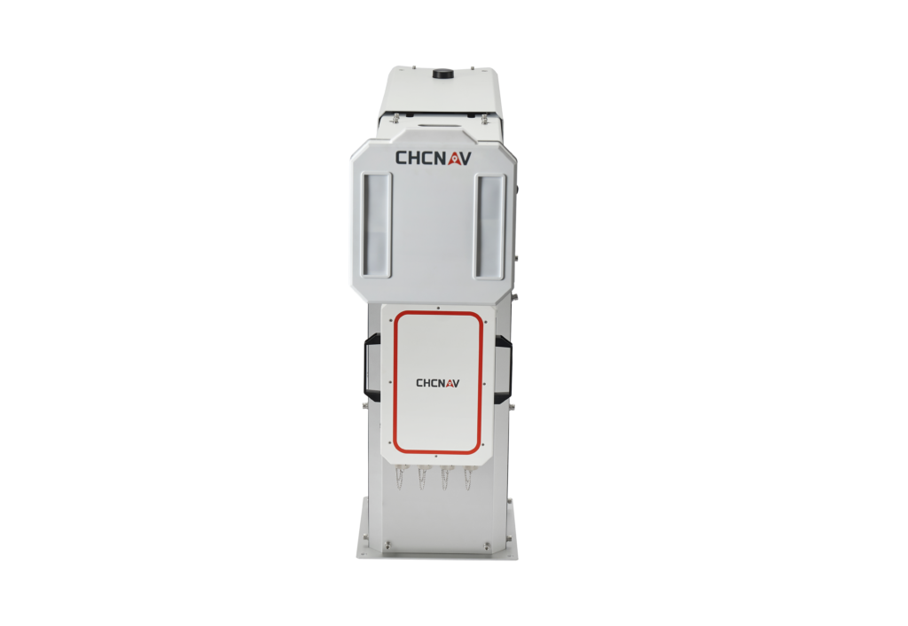
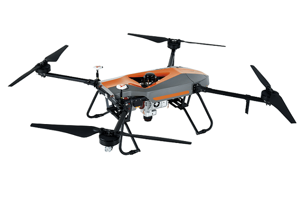
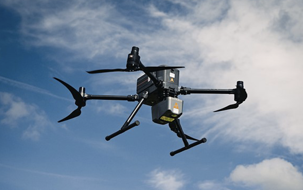
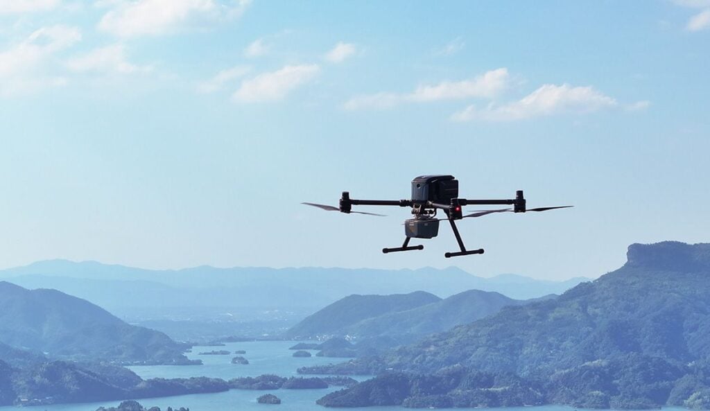
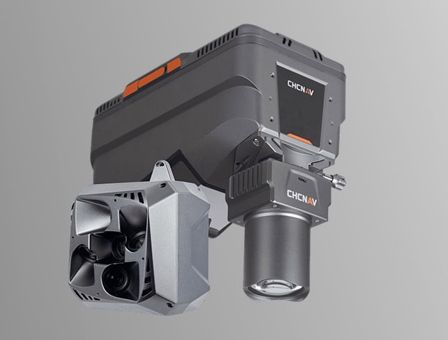
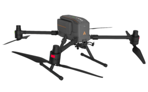 X500 Multirotor Drone
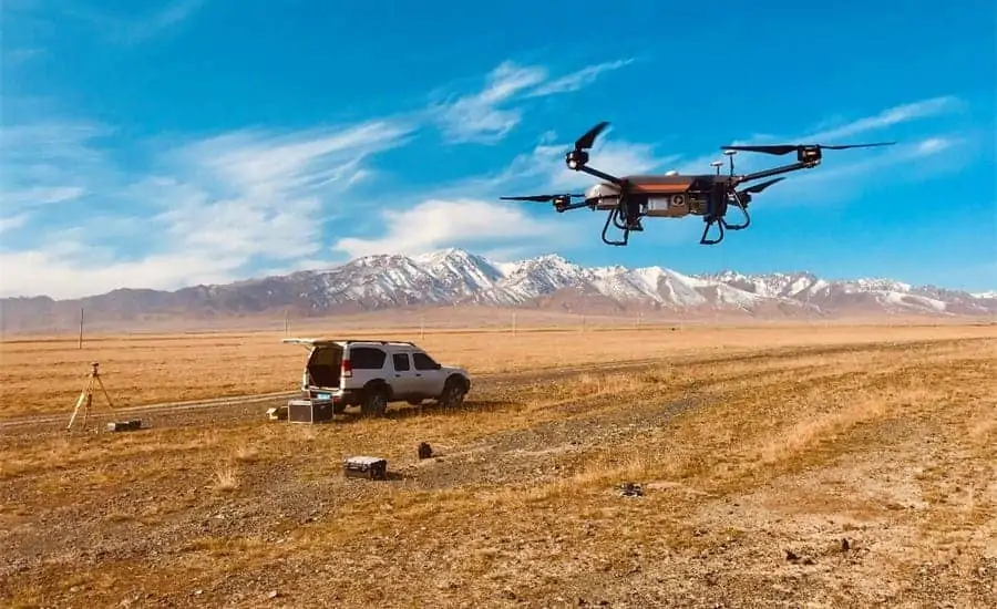
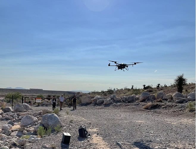