AirData UAV’s drone telemetry and flight data platform is being integrated with LeoSight’s LeoCommand software to support coordinated public safety and Drone as a First Responder (DFR) operations.

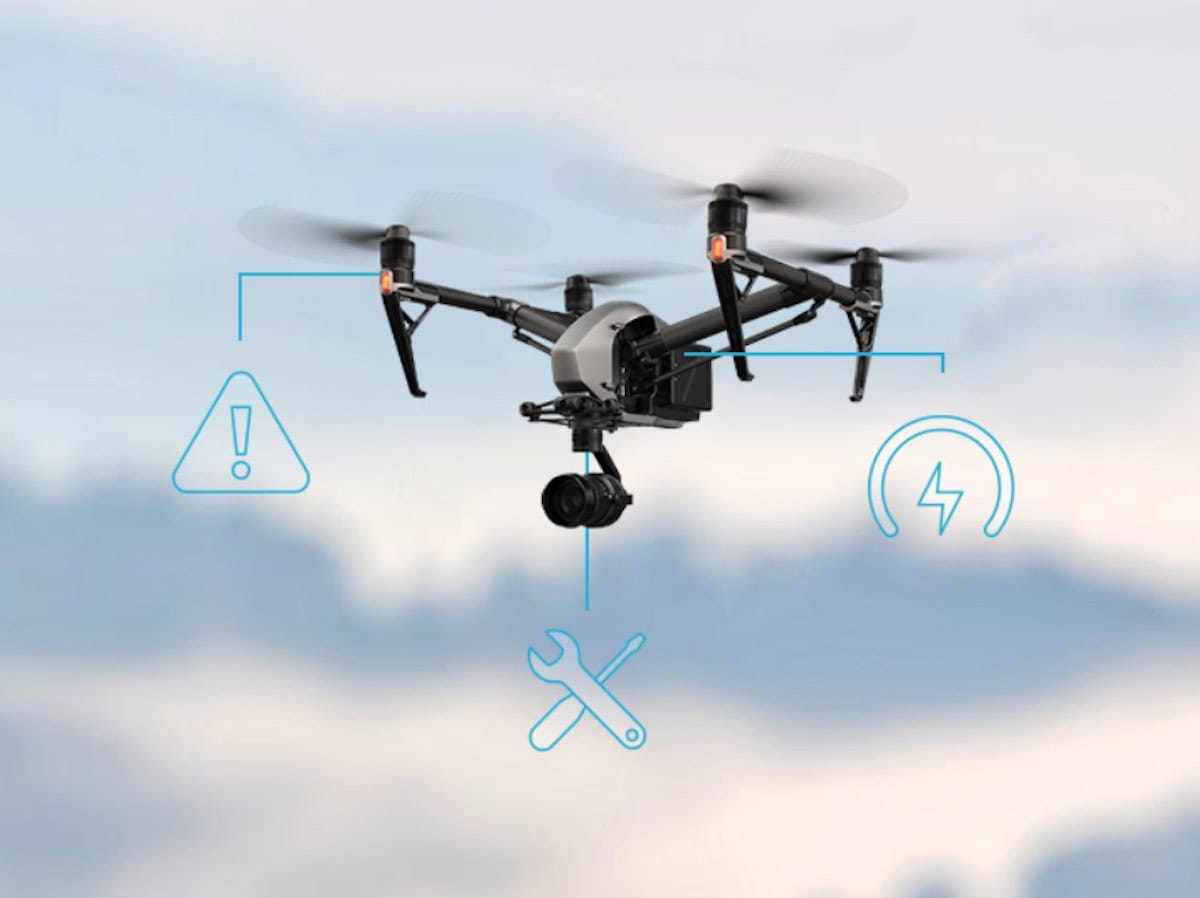
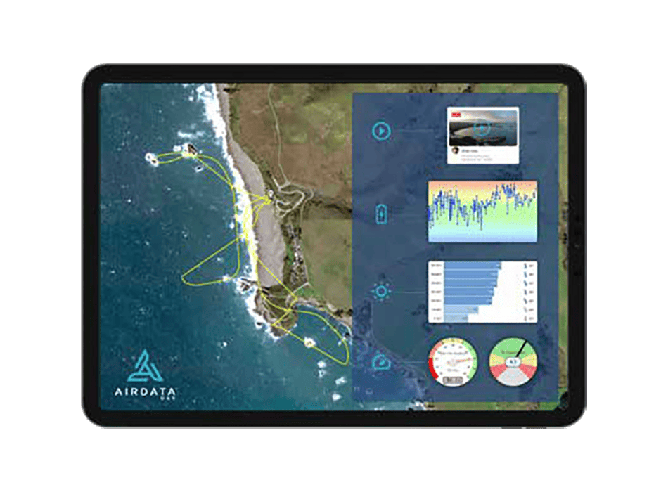
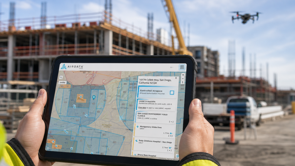
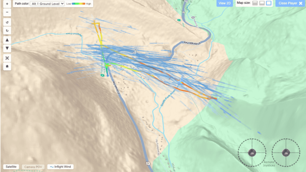
The integration allows mutual customers to stream drone data from AirData directly into LeoCommand, providing command staff and field personnel with visibility into aerial operations alongside other operational inputs. According to AirData, its platform supports more than 62 million logged flights and is used by hundreds of thousands of drone pilots and fleet operators across more than 200 countries.
By incorporating drone intelligence into a broader operational picture, the integration is designed to support coordination during daily operations, large-scale incidents, and multi-agency response efforts. LeoSight said the expanded visibility can help agencies move beyond standalone drone operations and improve information sharing across teams.

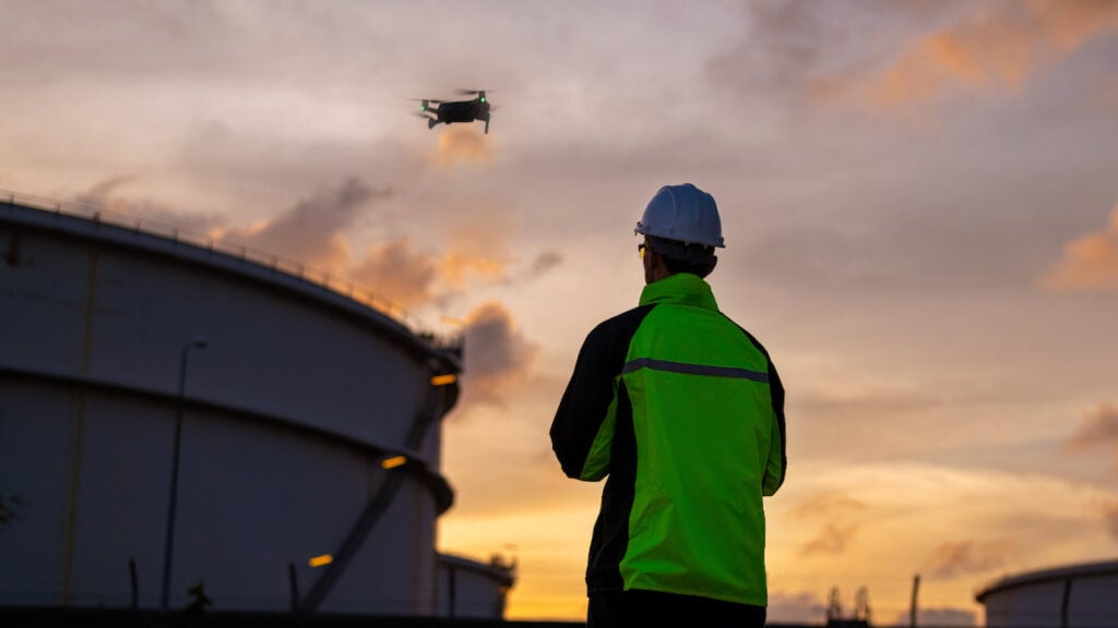
Drone and DFR programs continue to play an increasing role in public safety operations, particularly for situational awareness and incident response. The companies stated that integrating drone telemetry directly into command workflows can help dispatchers, supervisors, officers, and partner agencies access the same operational information in real time.
Eran Steiner, CEO and Founder of AirData UAV, commented, “AirData gives drone teams the visibility and intelligence to run safe, efficient operations at scale. Our integration with LeoSight brings two strong platforms together – AirData’s flight data and analytics alongside LeoCommand’s coordination tools. For our mutual customers, that means sharper situational awareness and tighter coordination across pilots, teams, and decision-makers, without changing how they fly.”
Mark Wood, CEO of LeoSight, added, “Public safety professionals are collecting more information than ever. The challenge is turning that information into shared understanding so dispatchers, officers, supervisors, and partner agencies can respond as one team. AirData and LeoCommand work together to give agencies real-time visibility into drone operations. By putting that information in front of dispatchers, command staff, and field personnel, teams can communicate more effectively and coordinate a faster response when it matters most.”
The integration also expands LeoSight’s broader ecosystem of connected technologies, which includes automated license plate recognition systems and other real-time data sources intended to support unified operational awareness.