


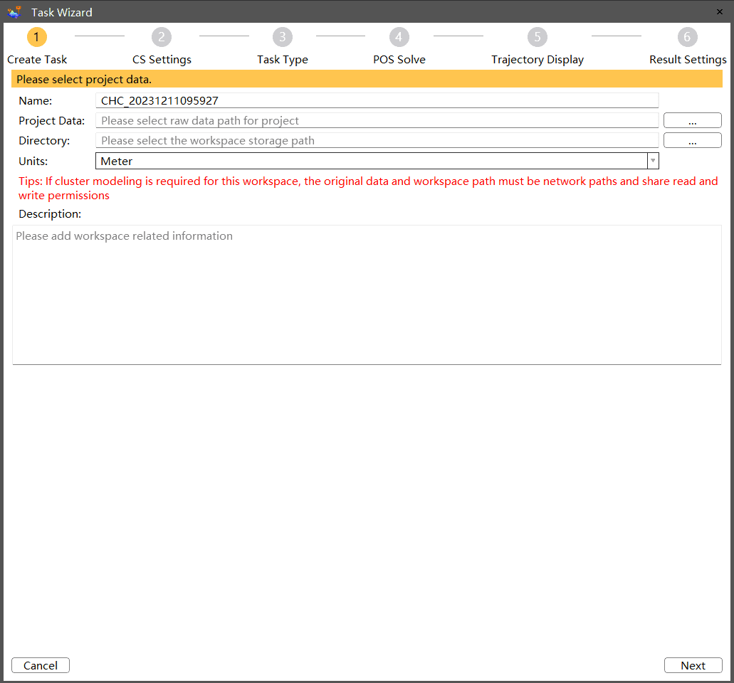
CoPre is a powerful and intuitive software ecosystem for quick and user-friendly processing of geospatial data gathered by UAVs and mobile mapping platforms. Supporting all CHCNAV LiDAR scanners, it provides immediate access to raw data and includes automated workflows for maximum efficiency. With proprietary data processing algorithms, it significantly improves the accuracy of post-processing results.
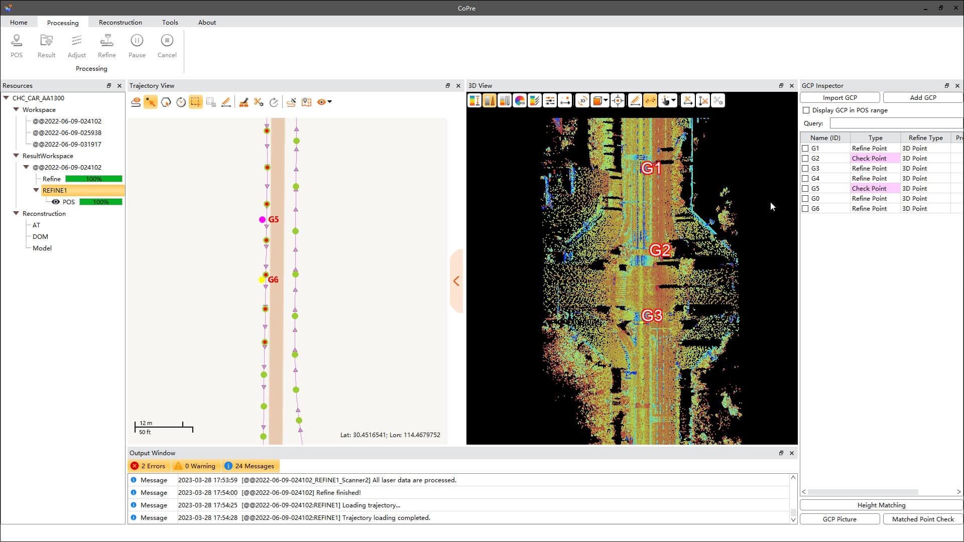
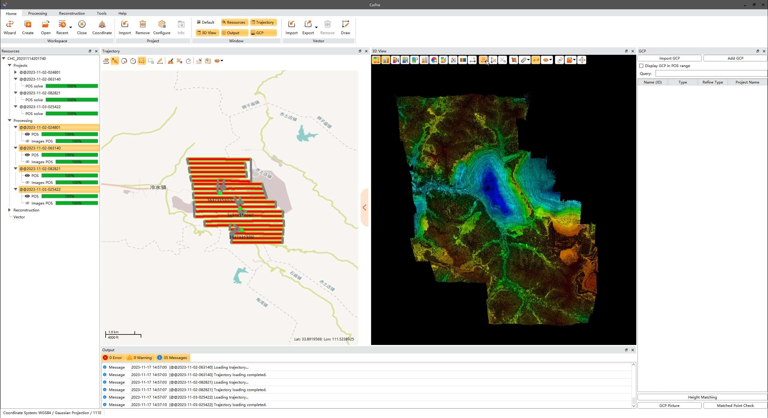
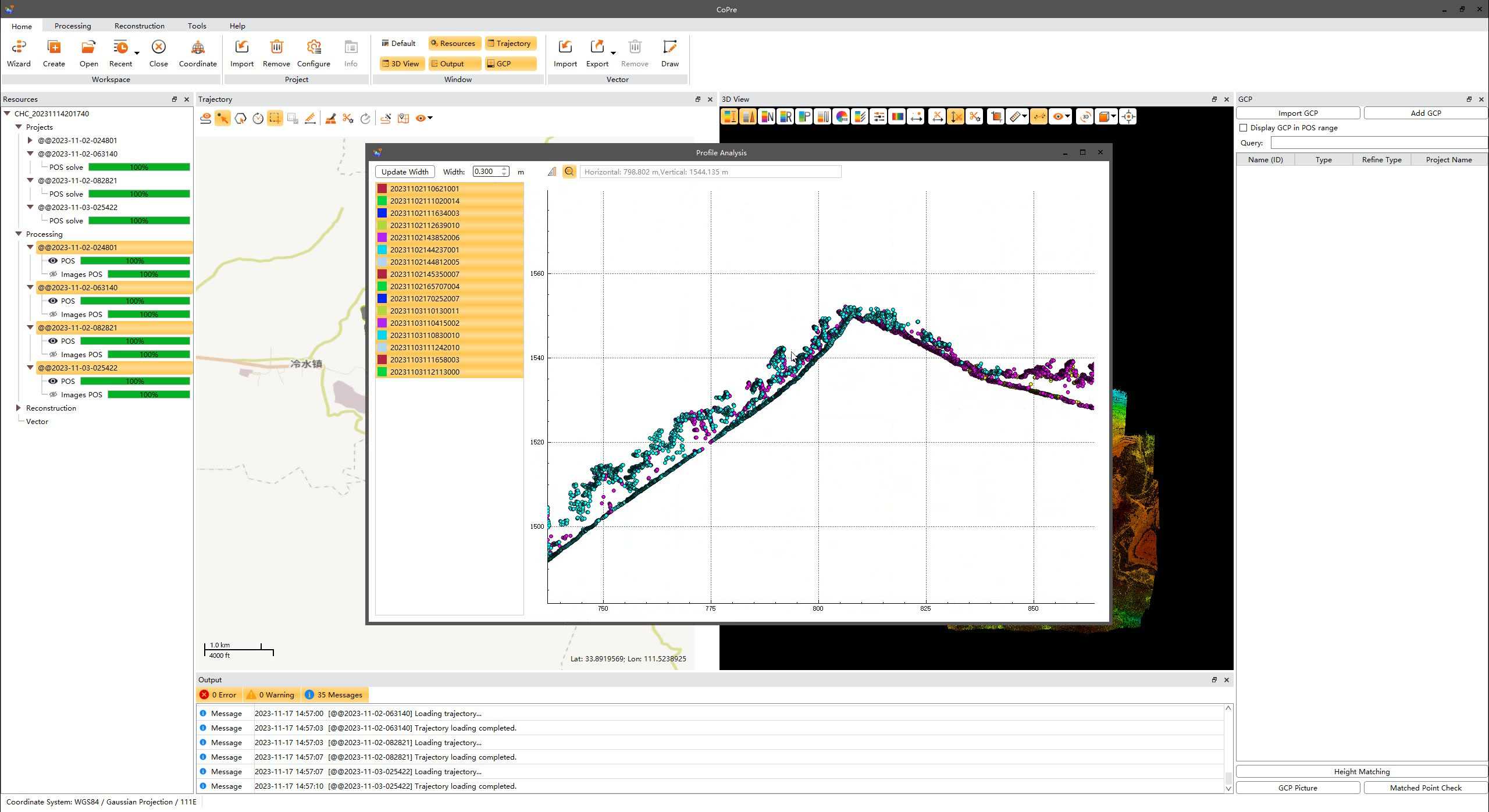
The software provides a variety of useful features including accurate trajectory processing, point cloud and image georeferencing, point cloud colorization, filtering, and digital ortho model (DOM) generation. Advanced functions include multiple simultaneous dataset processing and layering, strip adjustment, and a reconstruction module that supports aerial triangulation.
| Operating system | Microsoft Windows 7, 8, 10 (64-bit) |
| Install package size | Less than 2 GB |
| File system | NTFS |
| Processor | Intel® Core™ i7 (Minimum) Intel® Core™ i9 (Recommended) |
| RAM | 8 GB (Minimum) 32 GB or more 64 bit OS (Recommended) |
| Hard disk | 500 GB SSD Drive (Minimum) 1 TB SSD Drive (Recommended) |
| Large project disk option | RAID 5, 6, or 10 w/ SATA or SAS drives |
| Graphics card | Nvidia GeForce 2 GB (Minimum) Nvidia GeForce 6 GB+ (Recommended) |
| Display | 1024 × 768 (Minimum) 1920 × 1280 (Recommended) |
| License type | Permanent SW registration code Time limited SW registration code USB dongle driver (optional) |
| SW upgrade | Online version chech Manual install package |
| Supported Language | English Russian Chinese |


