CoProcess
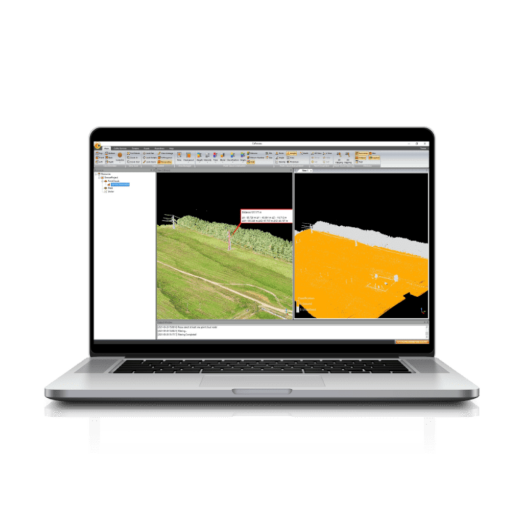
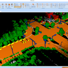
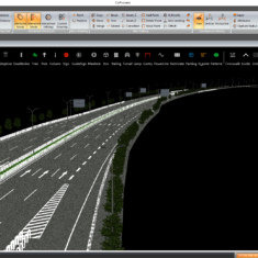
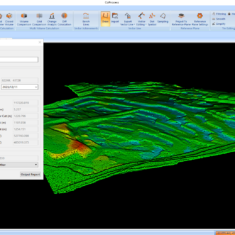
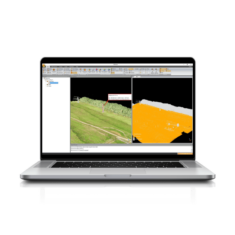
CoProcess is an advanced software package designed for the post-processing of massive point cloud datasets, transforming raw data captured by UAVs and mobile mapping vehicles into a variety of multi-format deliverables. Providing both automatic and manual feature extraction, the intuitive software includes four main modules: Foundation, Terrain, Road, and Volume.
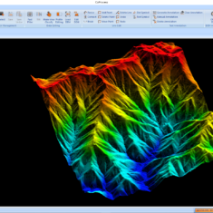
The software features a comprehensive set of capabilities including DEM and DTM creation, volume calculation and analysis, and output to DAT or DXF format for seamless integration with leading software such as AutoCAD and ArcGIS.
| Operating system | Microsoft Windows 7, 8, 10 (64-bit) |
| Install package size | Less than 500 MB |
| File system | NTFS |
| Processor | Intel ® Core™ i7 (Minimum) Intel ® Core™ i9 (Recommended) |
| RAM | 8 GB (Minimum) 32 GB or more 64 bit OS (Recommended) |
| Hard disk | 500 GB SSD Drive (Minimum) 1 TB SSD Drive (Recommended) |
| Large project disk option | RAID 5, 6, or 10 w/ SATA or SAS drives |
| Graphics card | Nvidia GeForce 4 GB (Minimum) Nvidia GeForce 6 GB+ (Recommended) |
| Display | 1024 × 768 (Minimum) 1920 × 1280 (Recommended) |
| Input | Keyboard, mouse with wheel |
| License type | Time limited SW registration code USB dongle driver |
| SW upgrade | Online version chech Manual install package |
| Supported Language | English Chinese |


