

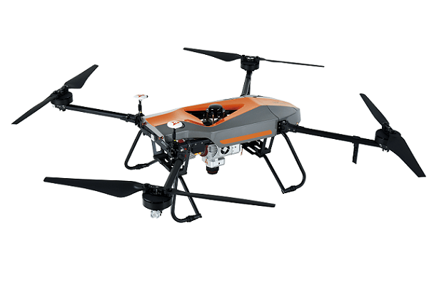

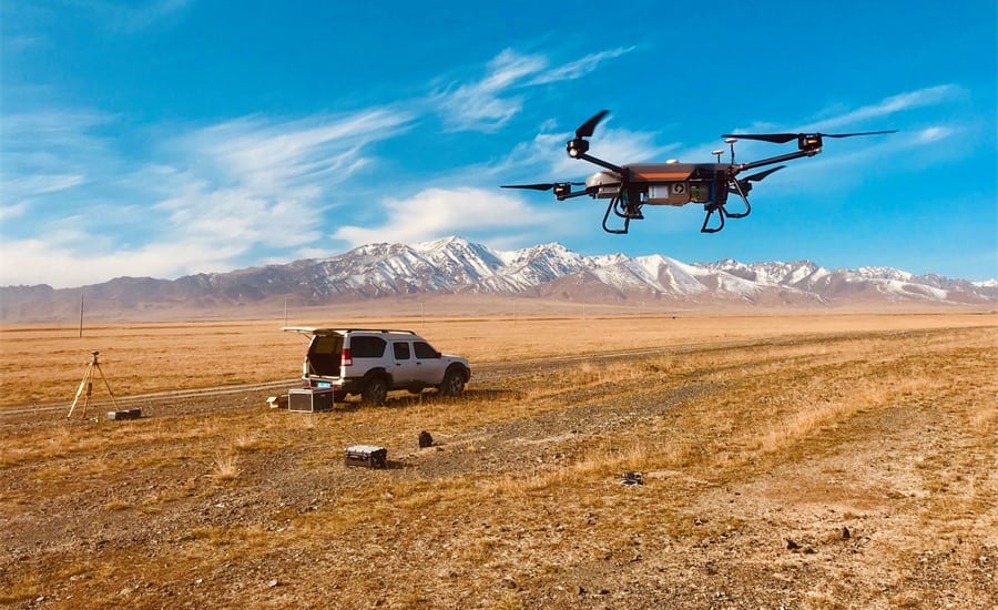
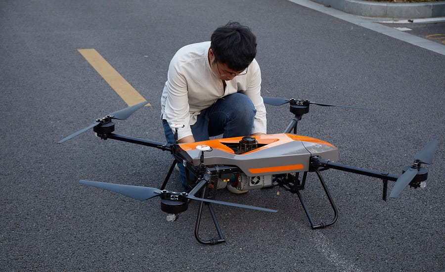
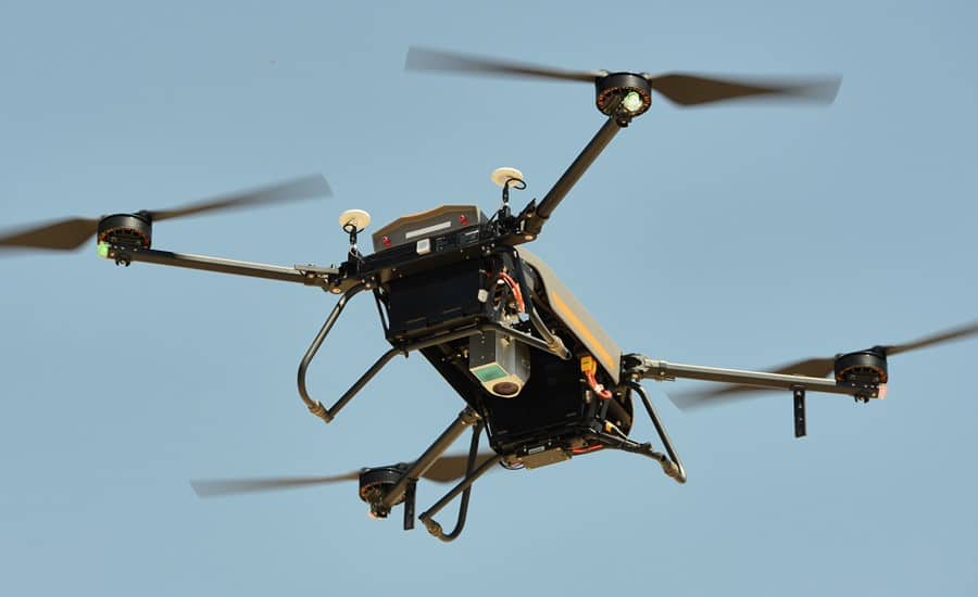
BB4 – LiDAR Mapping Drone
The BB4 is a high-end unmanned aircraft system resulting from an alliance between the two industry leaders in their respective segments. Its scientific design and highly integrated production technology come from CHCNAV - a global manufacturer specialized in efficient geospatial measurement technologies - and its fully automated flight control system from DJI, the pioneer in the manufacturing of commercial UAVs.
Specifications:
| Dimensions | 110.0 x 110.0 x 44.0 cm 43.3" x 43.3" x 17.32" |
| Empty weight | 20.9 kg (incl. 9.7 kg batteries) |
| Max payload | 7.1 kg |
| Hovering accuracy | 1 cm + 1 ppm horizontal 2 cm + 1 ppm vertical |
| Max speed | 14 m/s |
| Max altitude | 5000 m |


