


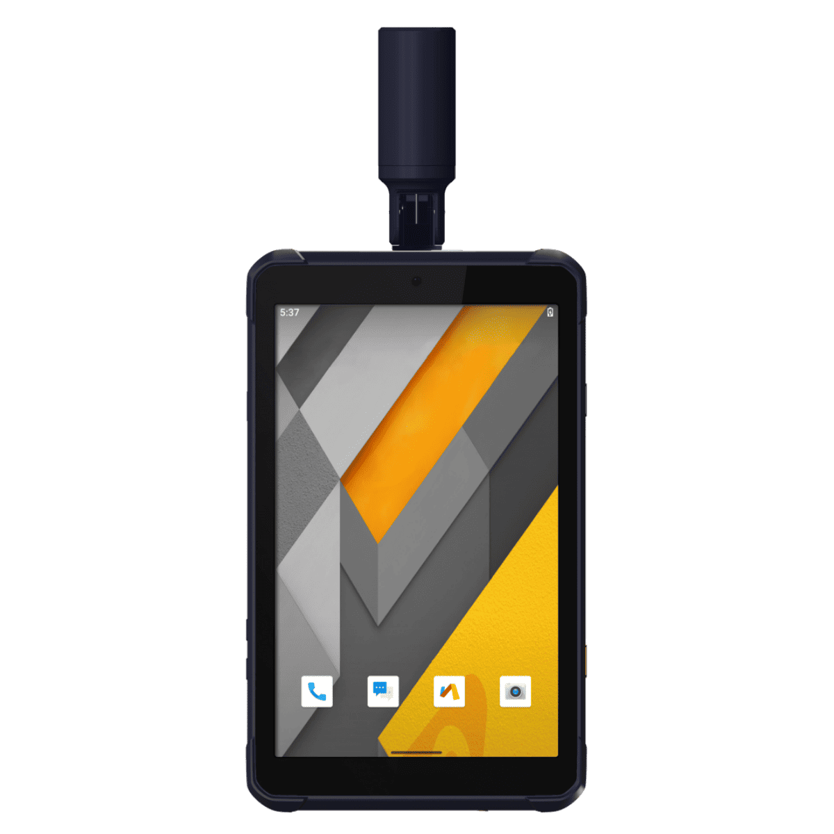
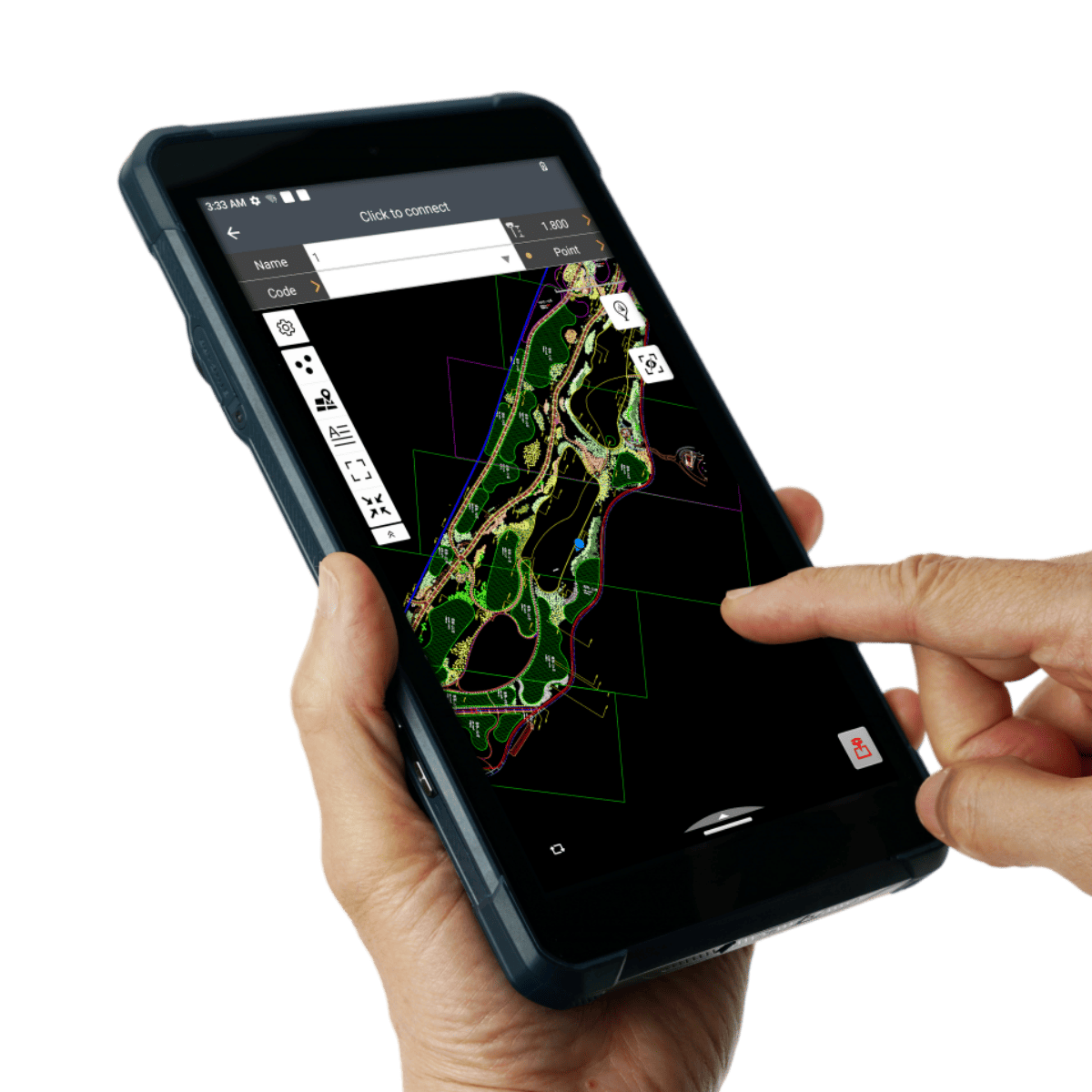
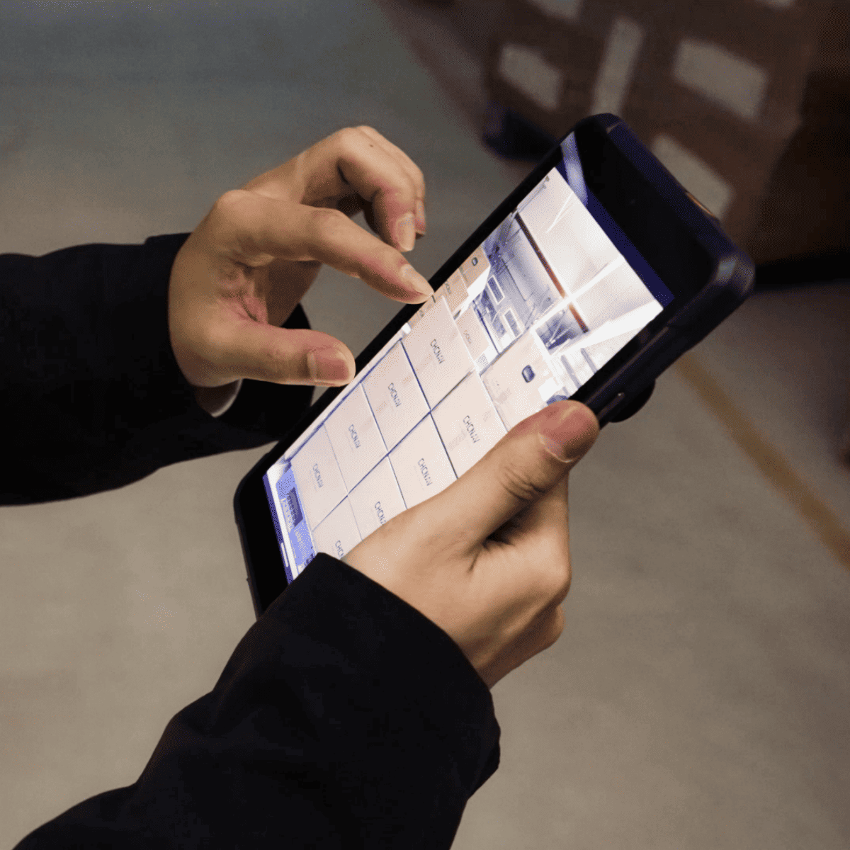
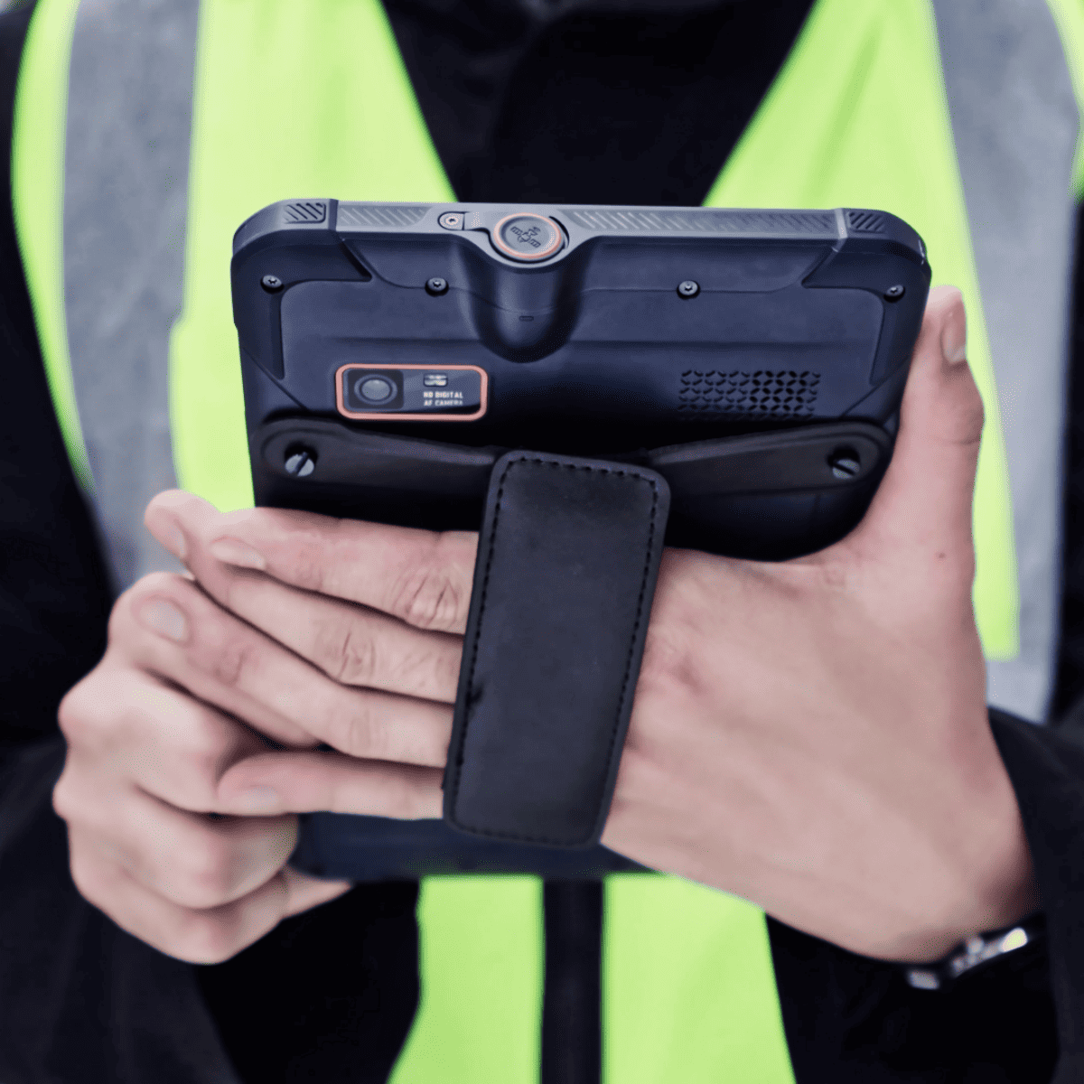
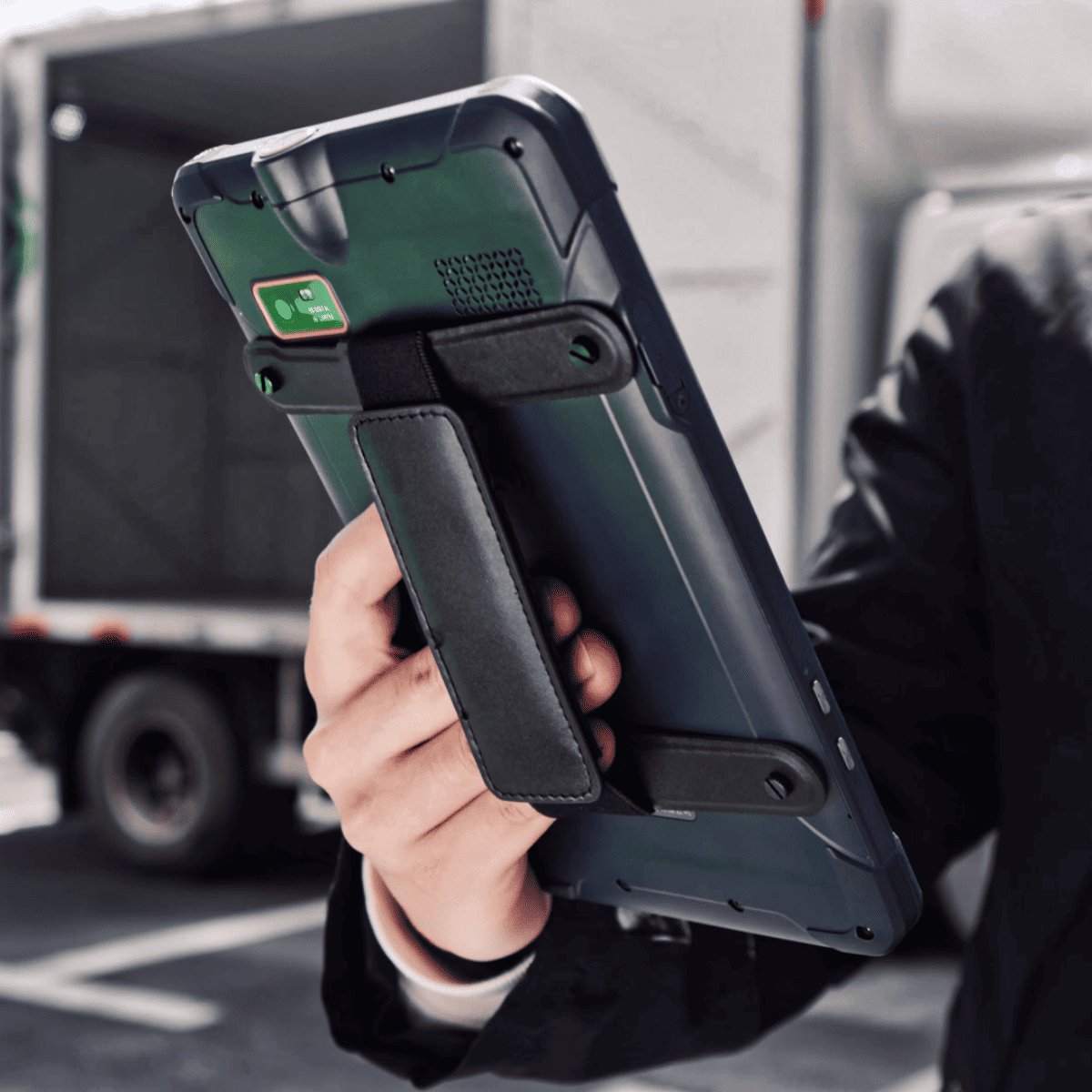
The LT800H is a rugged RTK GNSS-capable tablet designed to support professional mapmakers and surveyors, enabling high-precision data collection for GIS, forensic mapping, environmental survey and more. Powered by a 2.0 GHz octa-core processor and 6 GB of RAM, it can easily display large maps and data sets with minimal lag or user fatigue.
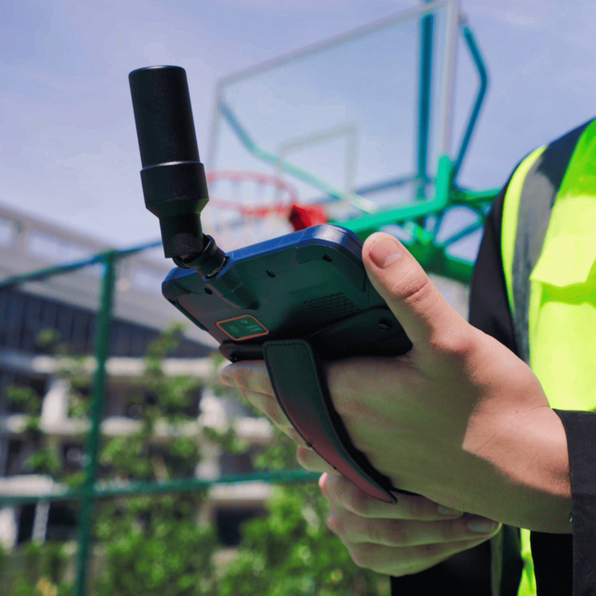
The tablet incorporates a high-performance multi-constellation GNSS receiver and helix antenna, as well as a dual-SIM 4G modem for fast and reliable connectivity and access to RTK corrections in the field. The tablet provides 8 hours of battery life, allowing extensive data collection in the field without interruption.
The rugged IP67-rated construction and the ability to withstand a fall onto concrete from 1.2 metres mean that the LT800H can withstand prolonged use under highly demanding conditions. The 8.1-inch capacitive IPS touchscreen is made with Corning Gorilla Glass 3 and provides excellent readability even under direct sunlight.
| Operating system | Android 12.0 GMS certified |
| CPU | Advanced octa-core CPU 2.0 GHz |
| RAM | 6 GB |
| ROM | 128 GB |
| Extension | Micro SD card, up to 256 GB |
| Channel | 1408 |
| Constellation | BDS: B1I, B2I, B3I, B1C, B2a, B2b GPS: L1C/A, L1C, L2P (Y), L2C, L5 GLONASS: L1, L2 Galileo: E1, E5a, E5b, E6* QZSS: L1, L2, L5, L6* SBAS*: L1, L5 |
| RTK Accuracy | 2 cm HRMS |
| SBAS Accuracy | < 1 m HRMS |
| Display Size | 8.1” touch screen |
| Display Resolution | 1920 x 1200 |
| Brightness | 600 cd/m2 |
| Touch screen | Capacitive multi-touch, 5 points |
| Screen technology | IPS display panel Corning® Gorilla® Glass 3 |
| Front Camera | 8 MP |
| Rear Camera | 16 MP |
| Flash light | Integrated |
| Dust and water proof | IP67 (according to IEC 60529) for water and dust resistance, protected against temporary immersion at a depth of up to 1 m. |
| Shock | 1.2 m fall onto concrete |
| Humidity | 5% - 95% RH (without condensation) |
| Size (L x W x H) | 215.5 mm x 130 mm x 14.5 mm (8.5 in x 5.1 in x 0.6 in) |
| Weight | 570 g (20.1 oz) |
| Environment | Operating: -20°C to +60°C (-4°F to +140°F) Storage: -40°C to +70°C (-40°F to +158°F) |
| SIM card type | Nano-SIM card |
| Wi-Fi | Wi-Fi, IEEE 802.11a/b/g/n/ac |
| Bluetooth | Bluetooth™ 5.1 |
| USB | Type C, OTG |
| Network 4G modem | GSM: 850/900/1800/1900 WCDMA: B1/B2/B4/B5/B8/B19 CDMA EVDO: BC0 TD-SCDMA: B34/B39 LTE-FDD: B1/B2/B3/B4/B5/B7/B8/ B12/B17/B18/B19/B20/B26/B28 LTE-TDD: B34/B38/B34/B39/B40/B41 |
| Li-ion battery capacity | Built-in non-removable battery 9,000 mAh |
| Battery Voltage | 3.8 V |
| Battery life | 8 h |
| Battery charging time | 4.0 h Fast charging: QC 3.0 |
| Internal sensors | NFC; G-Sensor; Light Sensor; E-Compass; Gyroscope |
| Accessories | Screen protector; Hard cover; Touch pen; Type-C USB cable; Helix antenna; Charger |





