Drone-as-a-Service providers offer on-demand UAV inspection, surveying, mapping, and monitoring, removing the need to purchase and operate drones internally. Organizations can quickly deploy aerial data services for infrastructure inspection, site surveys, and ongoing monitoring while controlling cost and reducing operational risk.
If you design, build or supply Drone as a Service (DaaS), create a profile to showcase your capabilities and connect with visitors who have an active requirement for your solutions.
Drone-as-a-Service (DaaS) is a comprehensive offering that lets customers access the benefits of commercial drones without owning or operating them. Through drone service providers, businesses and organizations can access cost-effective solutions for drone surveying, aerial photography, security monitoring, and other tasks without requiring technical drone expertise. This approach is especially beneficial for industries such as construction, real estate, public safety, and energy, where drone inspection services are now vital tools for generating high-accuracy data more quickly.
Applications of Drone as a Service
Drone-as-a-Service providers support organizations that need aerial data collection, inspection, or monitoring without maintaining an in-house UAV capability. Typical applications include:
Infrastructure & Asset Inspection
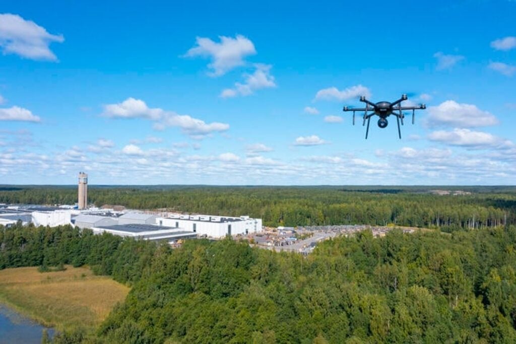
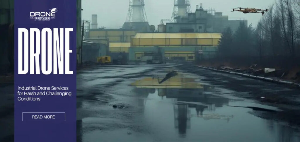
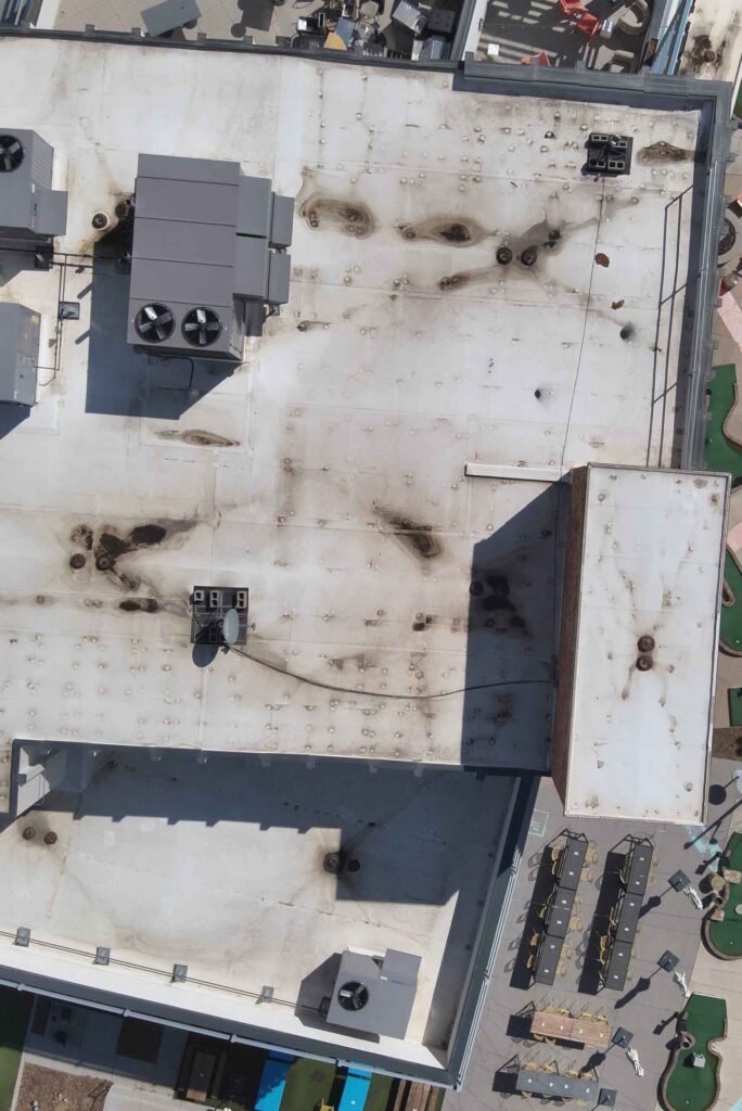
UAV service providers conduct inspections of power lines, pipelines, bridges, wind turbines, solar farms, telecom towers, and industrial facilities. Drones safely capture high-resolution visual and thermal data from hard-to-access assets, supporting maintenance planning and fault detection while minimizing downtime and personnel risk.
Surveying & Mapping
DaaS providers deliver aerial surveying and mapping services for construction, mining, and land development projects. Using photogrammetry and LiDAR-equipped drones, operators generate orthomosaics, elevation models, and 3D terrain data to support planning, site progress tracking, and engineering workflows.
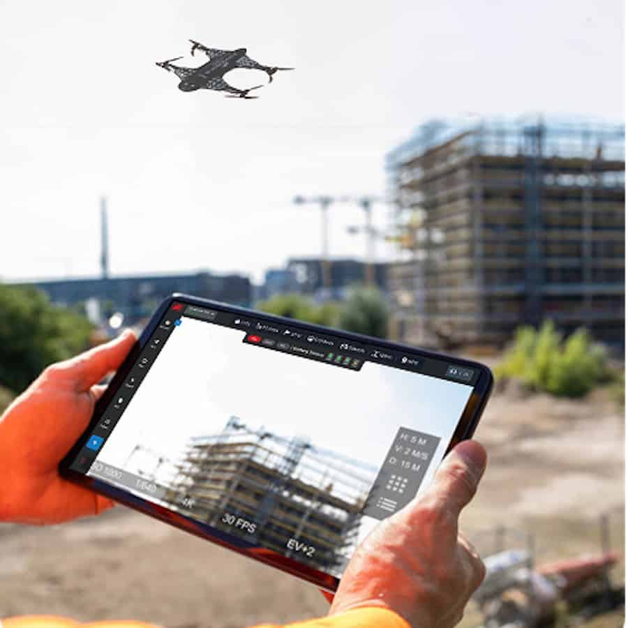
Construction & Site Monitoring
Regular drone flights at construction sites allow project teams to track site progress, monitor stockpiles, verify earthworks, and document construction activity. Aerial data improves coordination across contractors and enables remote project oversight.
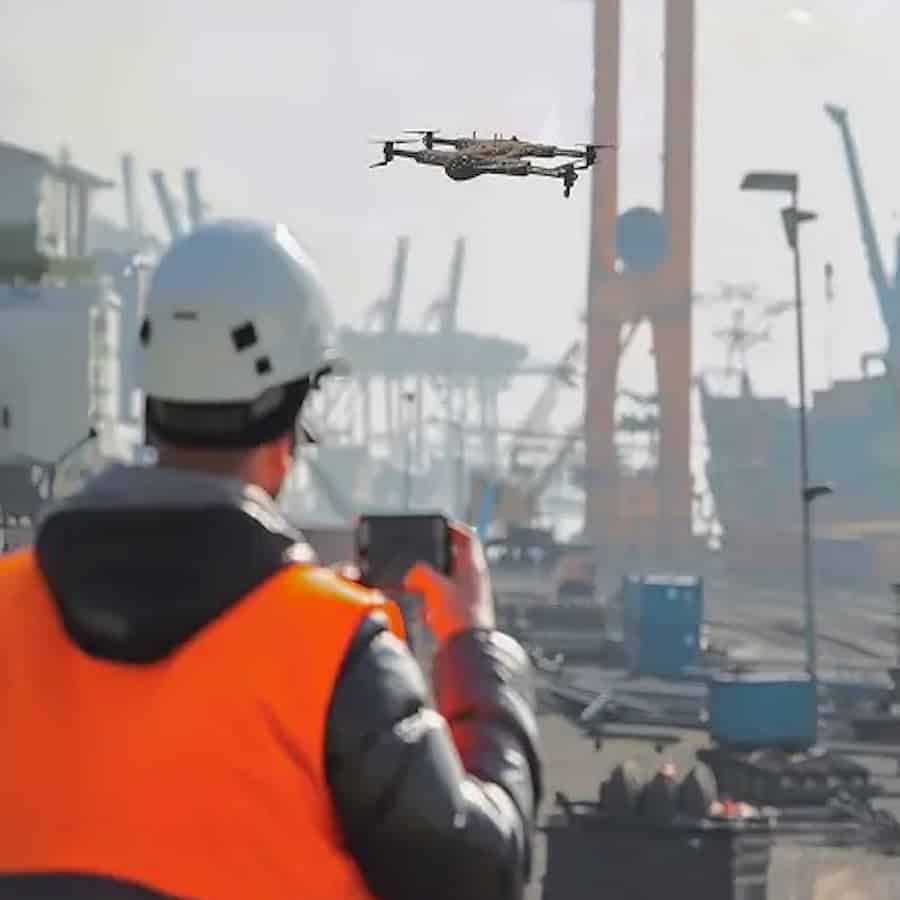
Security & Perimeter Monitoring
Drone service providers deploy UAVs for temporary or ongoing monitoring of industrial facilities, ports, logistics hubs, and critical infrastructure. Aerial patrols and rapid-response drone deployment improve situational awareness across large or remote sites.
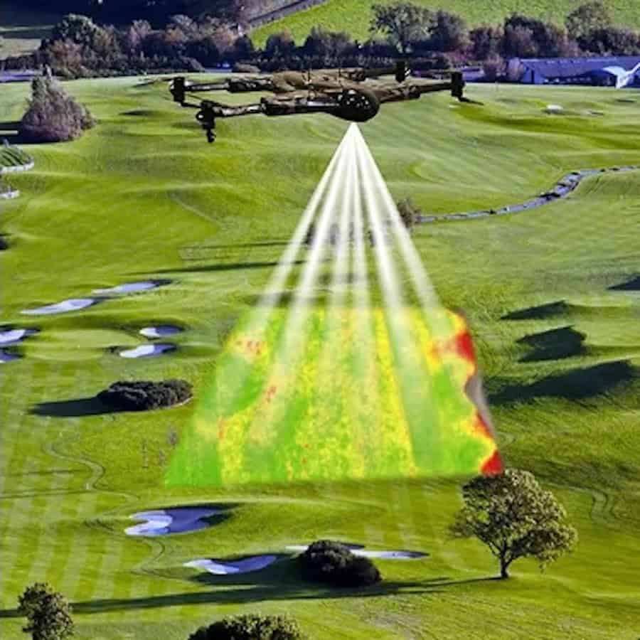
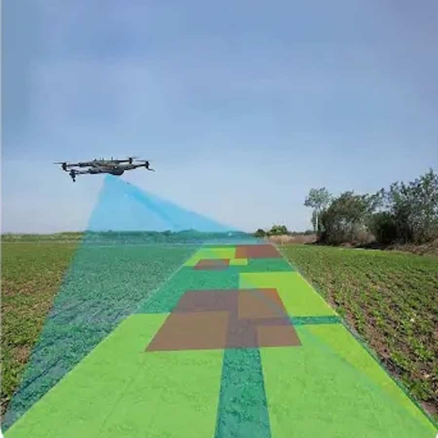
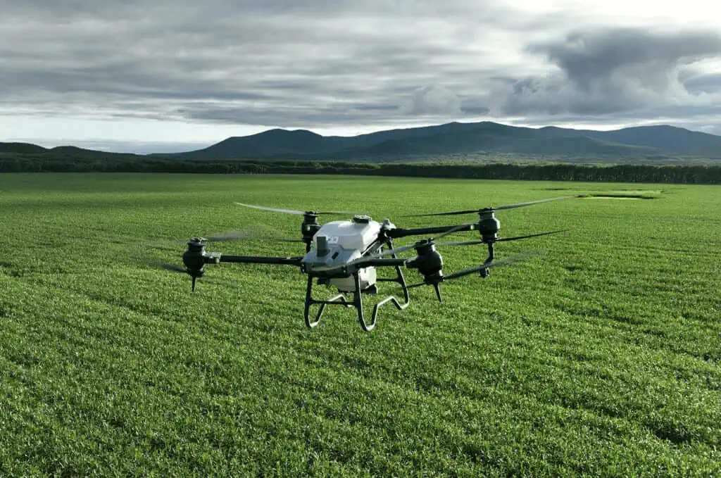
Agriculture & Environmental Monitoring
Drone services support precision agriculture and environmental assessment through crop health mapping, irrigation analysis, and land monitoring. Multispectral and thermal imaging help operators evaluate field conditions and optimize resource use.
Emergency Response & Disaster Assessment
Following natural disasters or industrial incidents, drones provide rapid aerial assessment of affected areas. Service providers deliver imagery and mapping data that help emergency teams evaluate damage, plan access routes, and coordinate response operations.
Why Choose Drone Solutions as a Service?
Opting for drone solutions as a service allows organizations to stay at the forefront of technology without committing to the high costs of purchasing, maintaining, and training for drone use. This scalable model provides flexible access to the latest advancements in drone technology, from autonomous security drones for continuous monitoring to UAV inspection services that can handle diverse environments and tasks. With DaaS, businesses can access commercial drone services tailored to their specific operational needs, including roof inspections, power line monitoring, building surveys, and drone emergency response capabilities.
5 Key Benefits of Using Drone-as-a-Service
Cost savings: Avoid high upfront costs of drone ownership and maintenance.
Access to expertise: DaaS providers bring specialized skills and technology, ensuring optimal results.
Enhanced safety: Drones handle dangerous inspections, reducing risks to personnel.
Flexibility: Choose the right type of drone for inspection, security, or mapping based on project needs.
Rapid deployment: Drones are ready for immediate deployment, making them perfect for emergency response and public safety missions.
Empowering Industries with Scalable Drone Solutions
Drone as a Service (DaaS) brings transformative potential across a range of industries, making high-quality aerial data and real-time surveillance accessible to businesses of all sizes. By choosing a flexible, on-demand approach, companies can leverage advanced drone technology to enhance safety, streamline operations, and capture valuable insights—without the operational burden of managing their own fleet. Whether it’s for precision surveying, critical infrastructure inspections, or proactive security, DaaS provides a scalable solution tailored to diverse needs, helping organizations stay competitive and efficient in an increasingly data-driven world.
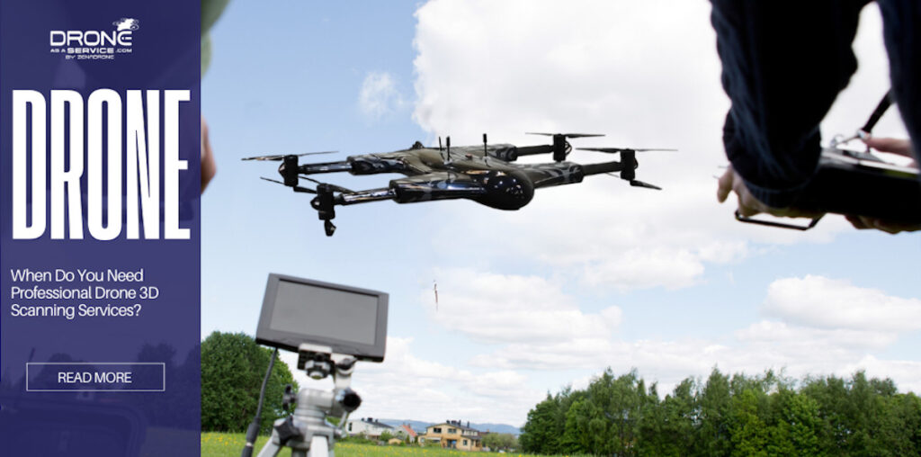
Drone as a Service by ZenaDrone examines when professional drone 3D scanning services are required, covering accuracy validation, survey workflows, project risk, and applications requiring verified spatial data
Drone as a Service by ZenaDrone examines how aerial 3D scanning improves construction progress tracking, quantity verification, and site accuracy through photogrammetry, LiDAR, and survey-grade data collection
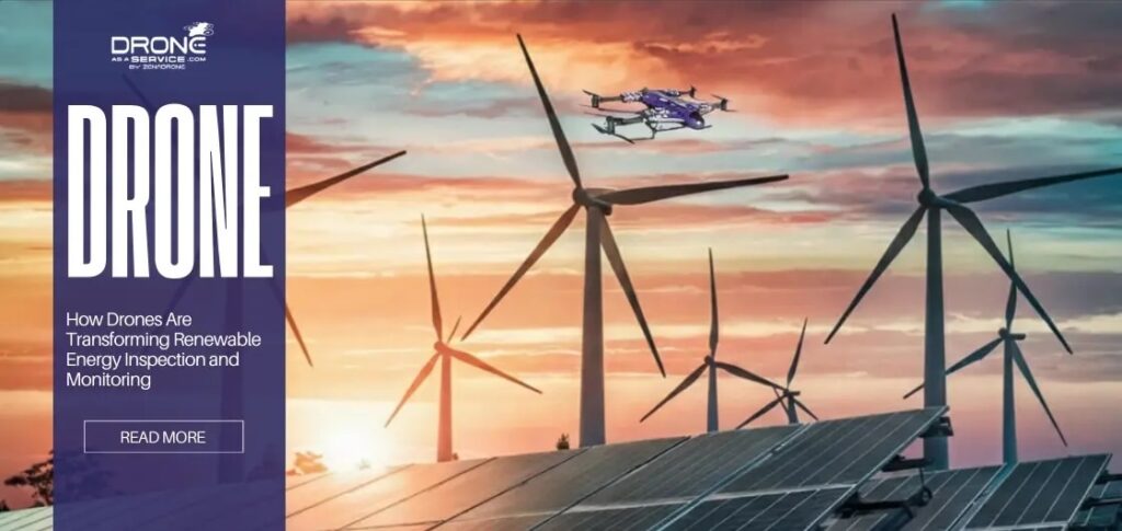
Drone as a Service by ZenaDrone outlines how drone-based inspection improves safety, reduces downtime, and enhances monitoring across large-scale renewable energy infrastructure
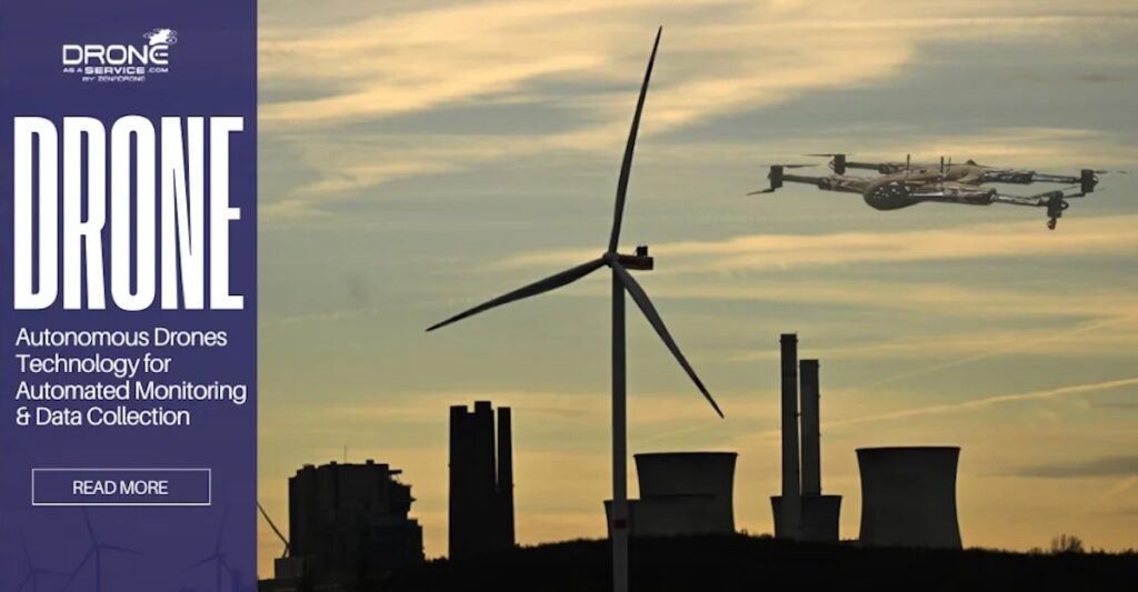
Drone-as-a-Service by ZenaDrone outlines how drone data analytics transforms aerial data into actionable insights, enabling predictive maintenance, improved safety, and greater operational efficiency across renewable energy assets
Volatus Aerospace and UTech Jamaica launch a structured drone training program to support disaster response, public safety, and infrastructure applications while expanding workforce development across the Caribbean
Blue Nose Aerial Imaging explains how drone technology enables safer, faster, and more cost-effective commercial roof inspections, providing detailed aerial imagery and data collection without requiring inspectors to physically access rooftops
Blue Nose Aerial Imaging highlights how drone-based aerial mapping provides Ventura County growers with clear visual insight into irrigation performance, helping identify uneven watering patterns and reduce nitrogen movement below the root zone
Mar 04, 2026
Advancing Unmanned Systems Through Strategic Collaboration
UST works with major OEMs to foster collaboration and increase engagement with SMEs, to accelerate innovation and drive unmanned systems capabilities forward.