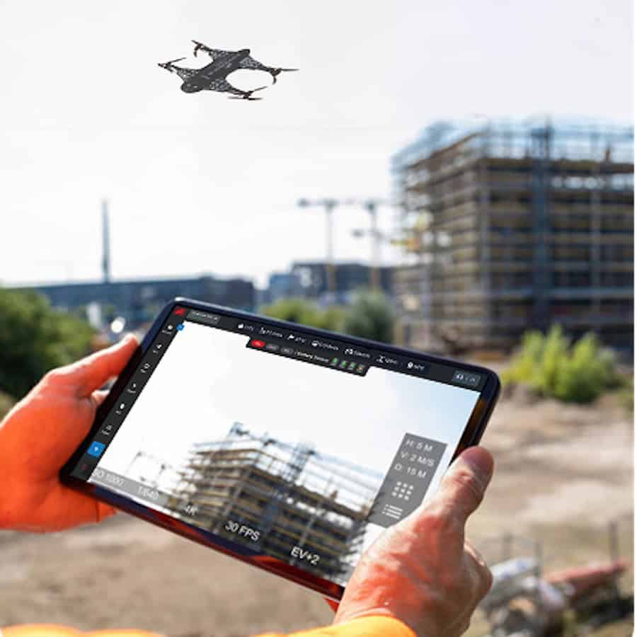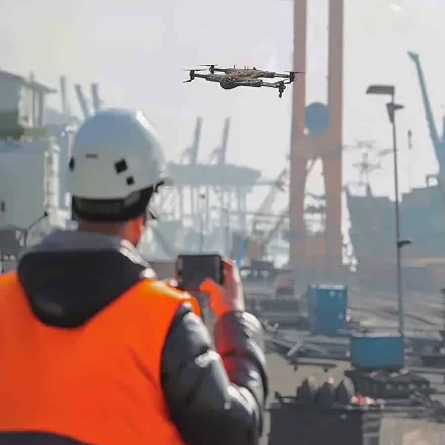
The Drone as a Service (DaaS) model by ZenaDrone delivers an advanced solution that enables organizations to handle intricate tasks in hazardous, unreachable locations while maintaining high safety standards and capturing accurate data.
The evolution of industrial drones basic photography to ruggedized field execution allows industries like mining, construction, oil, gas, and utilities to maintain continuous asset oversight without halting production. By integrating Artificial Intelligence (AI) and the Internet of Things (IoT), modern drones have shifted from simple remote-controlled aircraft into advanced, data-driven systems capable of real-time flight path adjustments and autonomous obstacle avoidance using radar and ultrasonic sensors. Live data streams directly to cloud platforms, allowing off-site engineers to make immediate operational decisions based on accurate on-site conditions.
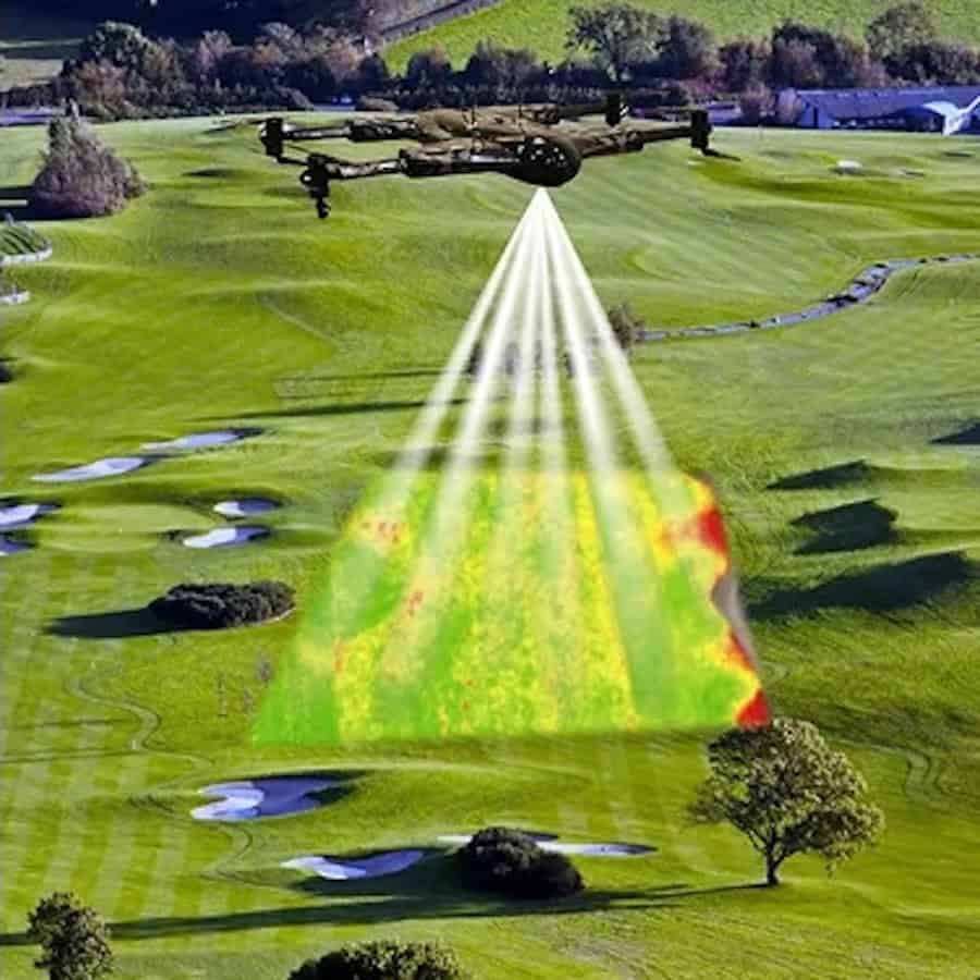
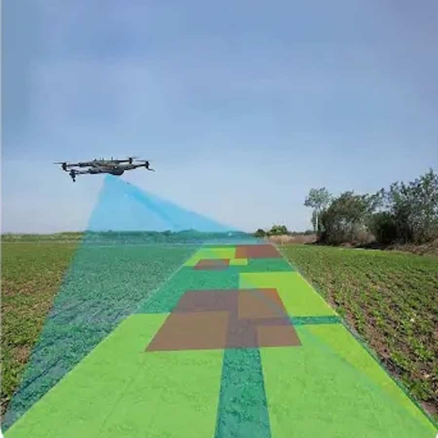
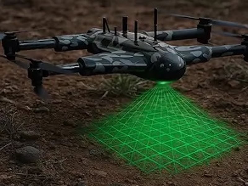
To survive freezing temperatures, dust storms, and heavy precipitation, industrial units utilize specialized designs including internal heating systems, reinforced frames, and high Ingress Protection (IP) ratings. Organizations select airframe types based on specific mission profiles: fixed-wing models provide extended flight times for long-range pipeline and mapping surveys; multi-rotor drones offer steady hovering for precision structural inspections in confined spaces; and hybrid models combine vertical takeoff agility with efficient forward flight endurance. These weatherproof, sensor-heavy platforms carry sophisticated payloads, such as thermal cameras and LiDAR, allowing sensors to penetrate dense foliage or uncover hidden structural risks like gas leaks and electrical hotspots.
In practical field deployments, the operational return on investment centers on eliminated downtime and enhanced site safety. For instance, a slope stability assessment at an open-pit mine following a severe storm was completed via drone within hours, safely resuming operations 48 hours faster than traditional manual surveys which typically require five days. Similarly, in an Arctic pipeline inspection project, drone-based monitoring equipped with thermal imaging and tunable diode laser absorption spectroscopy (TDLAS) successfully identified three hidden methane leaks in extreme cold, validating research findings that aerial platforms cover significantly more wellhead areas than traditional onsite measurement methods. In urban construction and disaster response, the digitization of physical assets into 3D models and topographic maps enables project managers to calculate earthwork volumes accurately and deploy emergency resources effectively even when traditional ground communications fail.
Despite these clear logistical advantages, industrial drone operations must navigate environmental and technical limitations. Extreme cold rapidly diminishes battery efficiency and cuts flight times, while continuous vibration and temperature shifts require frequent sensor calibration to maintain data accuracy. Furthermore, executing missions in remote regions often compromises real-time data transmission due to limited network coverage, forcing teams to store large datasets onboard for post-flight processing. Operational success ultimately depends on strict pre-flight hazard assessments, robust fail-safe communication links, encrypted data security, and adherence to evolving aviation regulations, including stringent guidelines for operating beyond the visual line of sight (BVLOS).
As energy densities improve and technology matures, the sector is moving toward fully autonomous fleets utilizing “drone in a box” systems. These automated, pilotless units will permanently reside on-site within docking stations, launching scheduled routine inspections independently and communicating directly with ground-level smart factory infrastructure to turn raw aerial imaging into proactive, predictive maintenance reports.
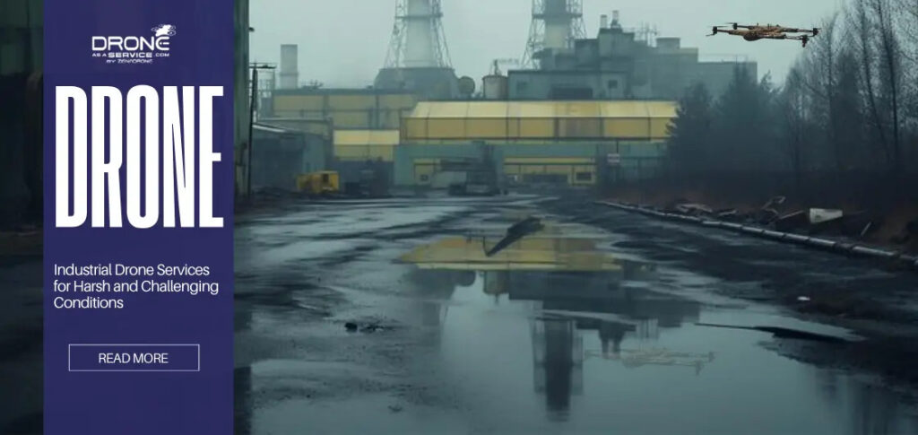
Read Industrial Drone Services for Harsh and Challenging Conditions.