


3D Scanning Services
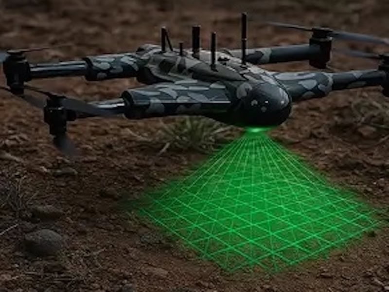
DaaS’ drone 3D scanning services capture the data required to create high-precision models of buildings, terrain, and landscapes for engineering, design, and project visualization. This advanced method of surveying is ideal for a wide variety of sectors, including construction, architecture, and mining.
Faster and more cost-effective than crewed aircraft or satellite services, 3D drone scans provide accurate real-time site information, capturing high-quality imagery from multiple angles.


