


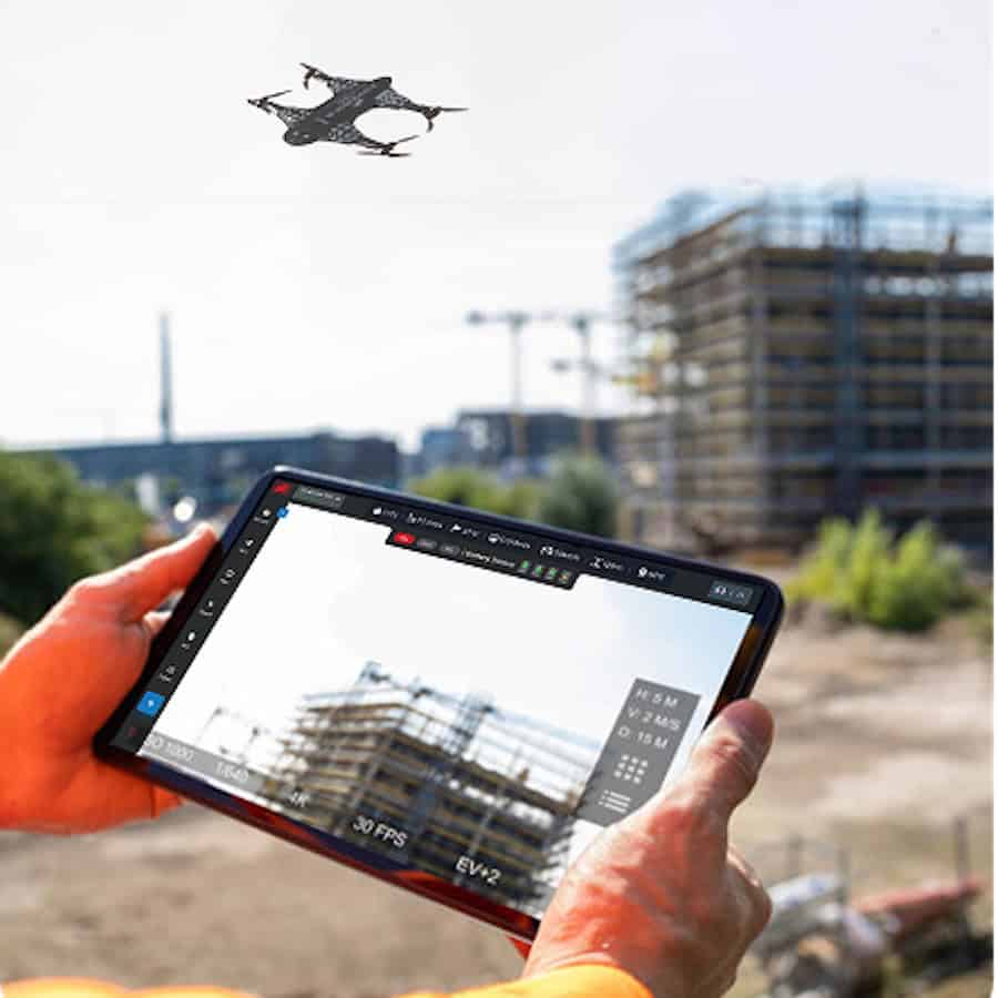
DaaS drone-based land surveying services are ideal for commercial, industrial and residential property mapping, site planning, and boundary verification, covering large areas in the fraction of the time that traditional methods require.
Utilizing autonomous platforms and advanced mapping and scanning technologies to carry out surveys efficiently and effectively, these services save time and money, doing away with the need to hire expensive helicopters or to send personnel to operate manually on-site.
The surveys deliver high-resolution imagery, elevation data, and 3D models with centimeter-level precision. These deliverables can be sent to you instantly after the flight is finished, and are ideal for site analysis, design planning, and monitoring land changes over time.


