Blue Nose Aerial Imaging

verified This business has been claimed by Blue Nose Aerial Imaging and verified by UST.
Verified companies work with us to ensure we display the most up-to-date and comprehensive product information, articles and other material to help you choose the right solution for your requirements.
Nationwide Commercial Drone Service Provider Operating In The United States United States of America
Visit Website
Saved
Save
Contact
Blue Nose Aerial Imaging

Nationwide Commercial Drone Service Provider Operating In The United States

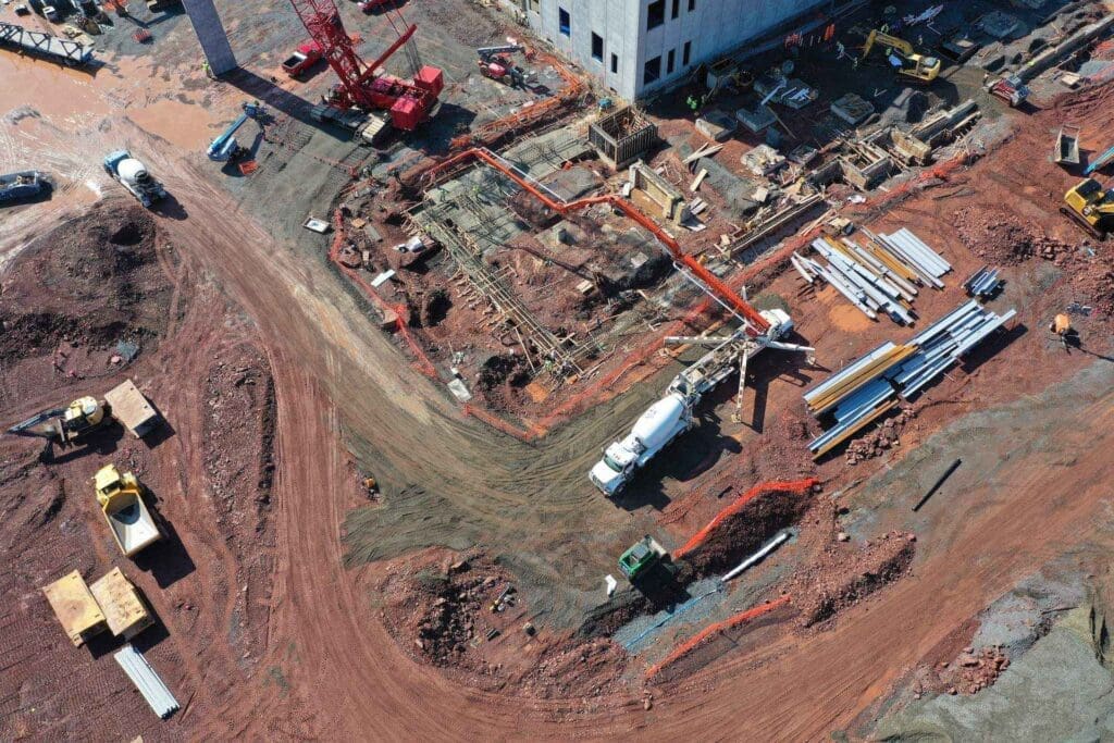
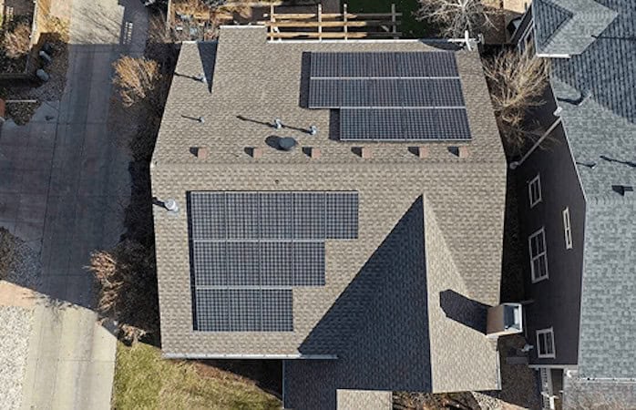
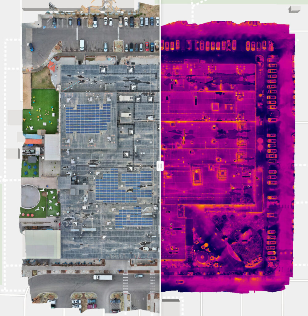
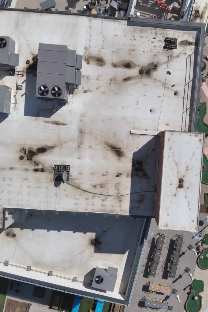
Blue Nose Aerial Imaging is a veteran-founded, nationwide drone services network providing precision aerial imaging, data collection, and analytics across a variety of key sectors. The company’s services, which are delivered by expert FAA-certified UAS operators, include thermal inspection, multispectral data analytics, 3D mapping and LiDAR scanning, and infrastructure inspection.

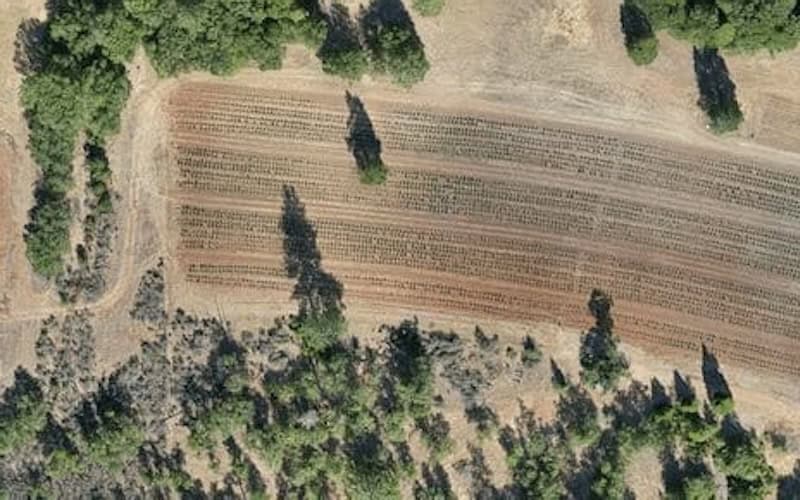
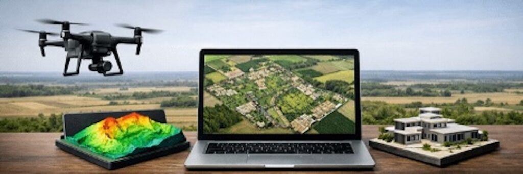
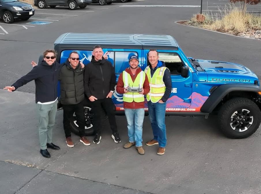
With more than 45 franchise locations across the United States, Blue Nose combines local expertise with enterprise-grade standardization – offering clients consistent quality and scalable drone solutions for projects of any size. Leveraging advanced photogrammetry, thermal, and LiDAR technologies, the company transforms aerial data into actionable insights that drive smarter decisions, safer worksites, and measurable cost savings.

Aerial Imaging & Data Collection Services

Thermal Drone Inspection & Condition Monitoring

Blue Nose Aerial Imaging utilizes cutting-edge thermal imaging technology to undertake precision inspection and monitoring, identifying faults before they become serious or costly failures.

drone inspections of solar farms

  • Solar PV inspection drones – close inspection of solar arrays to detect hotspots, underperforming sections, and inverter issues with minimal downtime
  • Roofing & building envelopes – drone surveying reveals heat loss, leaks and moisture intrusion, and insulation defects without the need for human access
  • Electrical infrastructure assessments – location of overheating components, unbalanced loads, and connection faults to ensure both maximum efficiency and safe operation

More info: Drone Thermal Inspection Services

Multispectral & Agricultural Analytics

Drones equipped with multispectral, RGB, and thermal sensors are ideal for capturing real-time data that provides actionable intelligence for farmers and agricultural professionals.

Precision Agriculture Drone Service

  • NDVI data & crop stress mapping – multispectral/NDVI imaging and vegetation indices enable assessment of crop health, identification of stress patterns, and early detection of disease or nutrient deficiencies
  • Irrigation optimisation – by mapping variability in moisture and crop response, operators can optimize their water use while improving yields
  • Yield forecasting – actionable data and analytics enable crop-growers to predict trends and yields across growing seasons, adjusting water and pesticide use and maximizing productivity

More info: Precision Agriculture & Multispectral Analysis

3D Mapping & Surveying

Blue Nose Aerial Imaging uses drone-based LiDAR and photogrammetry to provide survey-grade 3D data solutions for mapping, construction, engineering and more.

3D Drone Mapping & Surveying for construction

  • Construction site progress monitoring – allows project managers to monitor performance, adhere to timelines, and create a detailed record for insurance and regulatory purposes
  • Volumetric measurement – essential for stockpile monitoring, materials management and cut-and-fill earthworks calculations
  • Orthomosaics & LiDAR point clouds – used to create a variety of high-accuracy deliverables that can be output to GIS, CAD, and BIM software

More info: Drone Mapping & Surveying Services

Critical Infrastructure Inspection

Blue Nose’s infrastructure and utility inspection UAS services enable quick and efficient scanning of roads, railways, powerlines, and pipelines, enabling minimal intrusion while reducing risk to personnel.

Utility Inspections

  • Power lines – identify structural damage, vegetation encroachment, and component degradation without the need to climb poles or deploy expensive helicopters
  • Oil & gas assets – rapid assessment of pipelines, tanks, and other facilities with minimal downtime and reduced exposure to potential hazards
  • Transportation infrastructure – thorough inspections allow prioritization of repairs and more effective maintenance planning and lifecycle management

More info: Drone-based Critical Infrastructure Inspections

Golf Course ManagementGolf Course Management

In partnership with TerraView Solutions, Blue Nose offers a cloud‐based turf health analysis platform that enables golf courses to easily turn drone‐based imagery into powerful visuals and actionable intelligence, saving time and money.

More info: Drone Golf Course Management

Deliverables & Outputs

Blue Nose’s drone aerial imaging services can be used to provide a wide range of high-accuracy and survey-grade deliverables to suit virtually any workflows, reporting requirements, or regulatory compliance. These include:

  • Thermal anomaly reports – highlight hotspots, temperature differentials, and fault locations to provide enhanced decision-making for repair and maintenance planning
  • Geo-referenced orthomosaics – high-resolution and accurately geo-referenced outputs suitable for GIS, CAD, and other mapping and surveying requirements
  • NDVI & vegetation index maps – in-depth analysis of crop holdings for rapid assessment of health, stress patterns, and pest prevalence
  • 3D models & point clouds – survey-grade 3D models and dense LiDAR point clouds for measurement, mapping, and digital twin creation
  • Condition assessment reports – comprehensive reports that combine visual and thermal data to provide accurate and up-to-the-minute condition information for health evaluation and prioritised maintenance
  • Construction progress datasets – enable schedule tracking, volumetric calculation, and stakeholder reporting
  • Insurance-ready inspection reports – providing clear visual evidence that supports insurance claims and ensures compliance

Drone Rental

Blue Nose offers a variety of drone rental packages to suit a range of professional requirements, allowing you to enhance your business with the benefits of drone technology without needing to commit upfront to significant hardware investments.

Blue Nose Drone Rental

Packages include:

  • DJI M350 RTK & Zenmuse L2 LiDAR Sensor
  • DJI Matrice 4 Thermal
  • DJI Matrice 4 Enterprise
  • DJI Mavic 3 Thermal
  • DJI Mavic 3 Multispectral
  • DJI Mavic 3 Enterprise
  • DJI Mavic 3
  • DJI Mavic 2 Pro
  • DJI Avata FPV

Access pro-level drone equipment, when you need it. Explore our professional drone rental packages

Drone Training

Take your drone operations to the next level with this practical, easy-to-follow training course designed for both new and aspiring commercial drone pilots.

Blue Nose Aerial Imaging Drone TrainingThis training blends real-world experience with clear, actionable lessons. Whether you’re preparing to operate commercially, looking to strengthen your safety knowledge, or simply want confidence in your flying, this course gives you the foundation you need to fly responsibly, legally, and professionally.

Drone Service USA Locations

Blue Nose Aerial Imaging provides USA drone services across a broad national footprint, with local pilots operating throughout the Southwest, West Coast, Midwest, Southeast, and Pacific Northwest. This allows the company to deliver consistent, on-site aerial data capture while maintaining regional familiarity with terrain, regulations, and client requirements.

From professional drone services in Miami to inspection UAV services in Ventura, Blue Nose Aerial Imaging supports a range of commercial, real estate, and infrastructure aerial data capture requirements.

Arizona California Colorado Florida
Georgia Idaho Illinois Kansas
Kentucky Missouri Nebraska Nevada
New York North Carolina South Carolina Tennessee
Texas Virginia Washington

Become a Blue Nose Franchise Owner

Blue Nose Aerial Imaging offers a low-cost, turn-key franchise package that includes personalized training and ongoing business development support as part of its veteran-owned business.

Products

Drone Aerial Imaging Services for Construction

Progress monitoring, volumetric stockpile analysis & 3D site modelling

Drone Aerial Imaging Services for Precision Agriculture

Improve productivity & yield with data on crop health, pests, nutrient distribution and stress

Drone Aerial Imaging Services for Solar Inspection

Visible & thermal imaging for detection of defects, hotspots & shading loss

Drone Aerial Imaging Services for Property & Roof Inspection

Safe & effective aerial inspection of roofs & building components

Drone Aerial Imaging Services for Utilities & Infrastructure Inspection

Efficient aerial inspection of power lines, telecommunications, roads, railways and more

Drone Aerial Imaging Services for Mapping & Surveying

High-accuracy data collection for photogrammetry, GIS & orthographic mapping

Drone Aerial Imaging Services for Real Estate

Elevate property listings with unique perspectives & cinematic fly-throughs

Drone Aerial Imaging Services for Golf Course Management

Cloud‐based turf health analysis platform for golf courses

Blue Nose Drone Rental Services

Drone equipment rental packages for professional applications

Articles

Latest
Q&A: Scaling Drone Operations & Advancing Aerial Data Intelligence

Tanner Harris, Founder & Managing Member of Blue Nose Aerial Imaging, discusses scaling nationwide drone operations and using thermal imaging and LiDAR to improve inspection safety, efficiency, and asset management

Jun 08, 2026
Fundamentals of Drone Mapping & Geospatial Data Production

Blue Nose Aerial Imaging outlines the core principles of drone mapping, explaining how photogrammetry and LiDAR workflows are used to generate accurate geospatial deliverables for analysis and decision-making

Apr 30, 2026
Blue Nose Aerial Imaging Highlights the Benefits of Drones for Commercial Roof Inspections

Blue Nose Aerial Imaging explains how drone technology enables safer, faster, and more cost-effective commercial roof inspections, providing detailed aerial imagery and data collection without requiring inspectors to physically access rooftops

Mar 16, 2026
Blue Nose Aerial Imaging Delivers Clear Irrigation Mapping in Ventura County

Blue Nose Aerial Imaging highlights how drone-based aerial mapping provides Ventura County growers with clear visual insight into irrigation performance, helping identify uneven watering patterns and reduce nitrogen movement below the root zone

Mar 04, 2026
Blue Nose Aerial Imaging Drone Roof Inspections in Arizona

Blue Nose Aerial Imaging outlines its drone-based roof inspection services in Chandler, Arizona, supporting owners and facility teams in identifying roof issues, reducing fall risk, and carrying out leak checks, photo surveys, or thermal scans ahead of winter rains

Feb 23, 2026
Blue Nose Aerial Imaging & Inotek Partner to Enhance U.S. Drone Inspection Services

Blue Nose Aerial Imaging has collaborated with Inotek to strengthen U.S. drone inspection services by combining nationwide aerial data capture with engineering-led analysis to deliver insights into building condition, defects, energy loss, and risk

Feb 12, 2026
Advancing Surveying with Drone Technology

Discover how drone surveying is transforming mapping and measurement, delivering faster insights, higher accuracy, and powerful data-driven decision-making across industries

Feb 02, 2026
Blue Nose Aerial Imaging Discusses Drones and Thermal Roof Inspections

Blue Nose Aerial Imaging’s guide on drones and thermal roof inspections outlines how thermal imaging supports rooftop assessments by identifying temperature variations that may indicate moisture intrusion

Jan 07, 2026
Commercial Drone Service Provider Offers Precision Aerial Imaging, Data Collection & Analytics Across the U.S.

With more than 45 franchise locations, Blue Nose Aerial Imaging delivers precision aerial imaging, data collection, and analytics for a variety of industries

Dec 15, 2025
Regional Offices & Locations
Blue Nose, LLC United States of America Denver, CO +1 855 258 6673 Contact Website
Advancing Unmanned Systems Through Strategic Collaboration UST works with major OEMs to foster collaboration and increase engagement with SMEs, to accelerate innovation and drive unmanned systems capabilities forward.