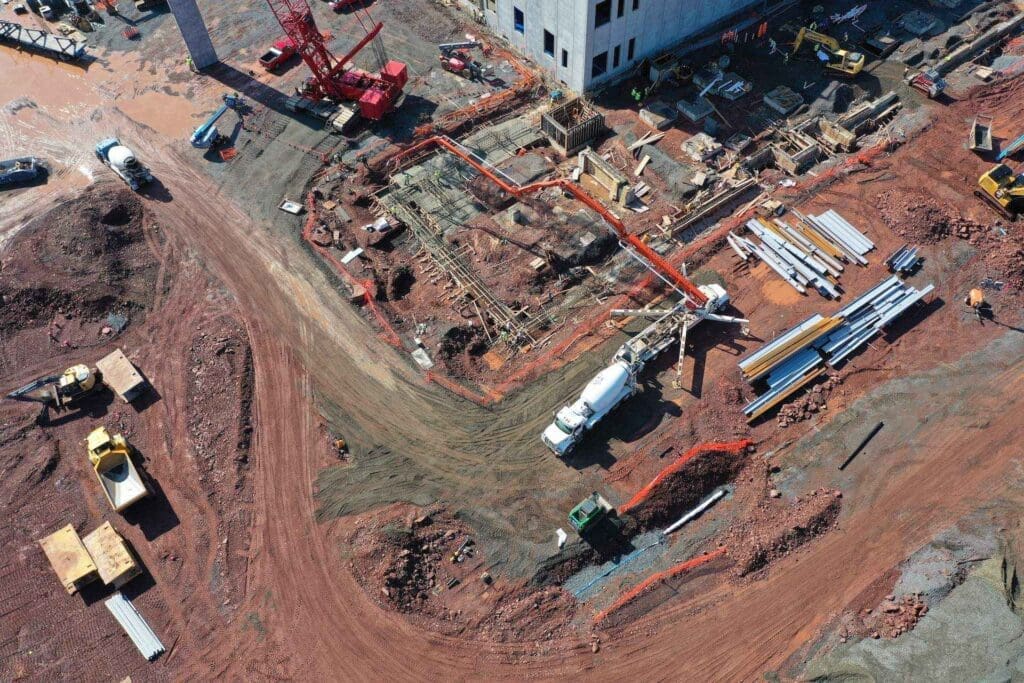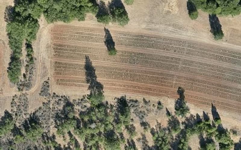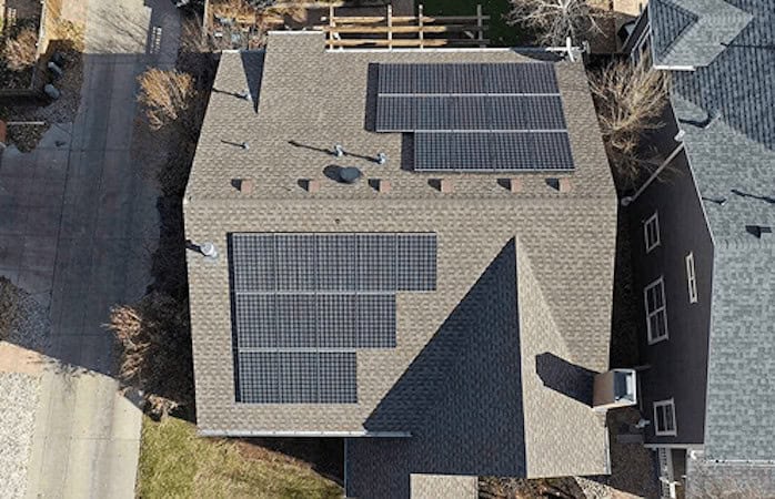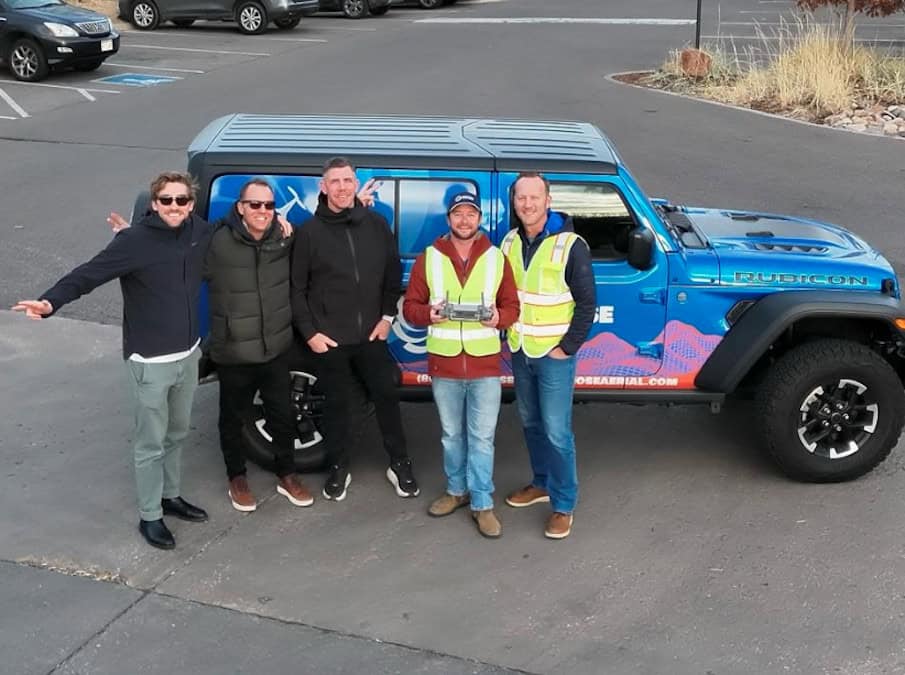
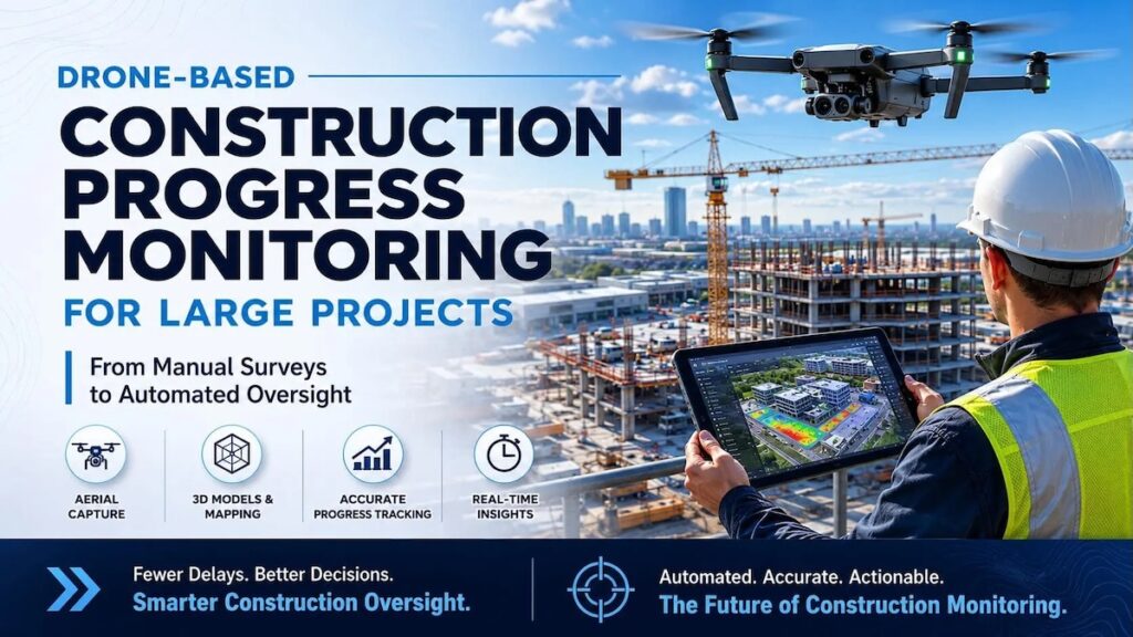
Blue Nose Aerial Imaging provides drone services for construction applications, including volumetric analysis, topographic mapping, 3D modeling, thermal and multispectral imaging, building inspections, aerial surveys, and data processing and reporting. Read more >>
As construction projects increase in scale and complexity, project teams require timely, accurate information to maintain schedules, manage costs, and coordinate multiple stakeholders. Through consistent datasets generated by routine UAV operations, the company helps construction professionals evaluate site conditions, monitor progress, and support informed decision-making throughout the project lifecycle.
These services enable project teams to review current jobsite conditions remotely, providing regular visual updates and assessments while maintaining visibility across ongoing construction activities.
Replacing Traditional Progress Monitoring with Aerial Data
Construction sites are continuously evolving environments where accurate documentation is essential. Conventional progress monitoring has traditionally relied on ground surveys, manual measurements, photographs, and written reports. Although these methods remain an important part of project management, they can be labor intensive, time consuming, and limited in their ability to capture an entire site efficiently.
Uncrewed aerial systems provide an alternative approach by rapidly collecting high resolution imagery and geospatial data over large areas. Equipped with RGB cameras, LiDAR payloads, and specialized mapping software, UAVs generate orthomosaic imagery, digital elevation models (DEMs), dense point clouds, three-dimensional surface models, and LiDAR datasets that provide a comprehensive representation of current site conditions.
The resulting data creates an objective record of construction activity that can be reviewed throughout the duration of a project.
Supporting Continuous Construction Progress Monitoring
Routine drone flights establish a repeatable method for documenting project development from groundbreaking through final completion. Conducting missions at regular intervals allows construction managers to compare historical datasets, identify changes, and verify that work is progressing according to project schedules.
Typical applications include:
- Weekly aerial documentation that creates a consistent visual record for tracking construction progress.
- Comparison of as-built conditions against engineering drawings and project plans to identify deviations before they affect later construction phases.
- Distribution of current aerial imagery and mapping products that improve communication between contractors, owners, engineers, consultants, and other project stakeholders.
Remote access to current site information enables project teams to review construction activity without requiring continuous field presence, supporting more timely project oversight.
UAV Applications Across the Construction Lifecycle
In addition to progress monitoring, drone technology supports a range of construction workflows that benefit from accurate aerial data collection.
Safety Inspections
UAVs provide access to elevated structures, rooftops, scaffolding, towers, and other difficult-to-reach locations without placing personnel in potentially hazardous environments. Regular inspections assist with identifying safety concerns while documenting site conditions for ongoing compliance monitoring.
Volumetric Analysis
Photogrammetric processing enables accurate measurement of stockpiles, excavation volumes, embankments, and earthworks. Reliable volume calculations support inventory management, earthmoving operations, and project planning while reducing the time required for conventional survey methods.
Topographic Mapping and 3D Modeling
High resolution aerial surveys produce detailed terrain models that support grading design, drainage planning, site development, and engineering analysis. Three-dimensional models also provide additional spatial context for project planning and site coordination.
Building Inspections and Surveys
Drone inspections allow detailed examination of building envelopes, structural components, roofs, facades, and other infrastructure without requiring extensive access equipment. High resolution imagery enables project teams to assess construction quality while maintaining comprehensive visual records.
Thermal and Multispectral Imaging
Specialized imaging sensors provide additional information beyond the visible spectrum, supporting applications such as environmental monitoring, drainage assessment, and moisture detection where conventional photography may be insufficient.
Aerial Photography and Project Documentation
Aerial photography and video support project documentation while providing visual records of construction milestones that can be shared with clients and project stakeholders.
Delivering High-Accuracy Geospatial Information
Drone-mounted cameras and LiDAR systems can collect centimeter-level topographic data suitable for engineering applications. These datasets support contour generation, earthwork calculations, drainage planning, grading design, and cut-and-fill analysis while integrating directly into established CAD, GIS, and BIM workflows.
Compared with conventional survey methods, drone mapping enables large areas to be documented more efficiently while reducing the need for survey crews to access hazardous or difficult terrain. The resulting datasets provide current site information that supports planning, engineering, and construction management throughout project execution.
Improving Efficiency Across Construction Projects
Drone adoption within construction continues to expand as project teams recognize the operational value of aerial data collection. Routine UAV operations support earlier issue detection, clearer communication, more efficient planning, and safer inspection workflows.
By generating current visual and geospatial datasets, drones help construction teams compare work against project requirements, identify potential discrepancies, and share objective site information with stakeholders. Integration with CAD, GIS, and BIM platforms also allows aerial mapping products to support engineering, planning, and construction management processes.
UAV-based inspections can further reduce the need for personnel to access hazardous or difficult locations, supporting safer oversight of rooftops, scaffolding, elevated structures, and other complex jobsite areas.
Drone Services for Construction Applications
Blue Nose Aerial Imaging provides aerial imaging, mapping, inspection, and reporting services that support construction projects throughout the planning, development, and delivery process. By combining routine UAV data collection with geospatial processing, the company enables project teams to maintain visibility across evolving jobsites and make informed decisions using current site information.
Strengthening Construction Oversight with UAV Data
Routine UAV surveys provide construction teams with an ongoing record of site conditions that supports progress tracking, planning, and communication throughout a project’s lifecycle. By combining aerial imaging with mapping, inspection, and geospatial data products, drone services provide timely information that can be integrated into existing engineering and construction workflows.
As adoption continues to grow across the construction sector, UAV-based data collection is becoming an increasingly valuable tool for improving project visibility, supporting informed decision making, and helping teams monitor complex developments with greater efficiency.