


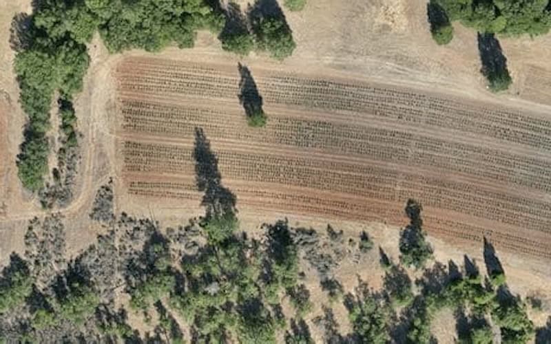
Drone Aerial Imaging Services for Precision Agriculture
Blue Nose Aerial Imaging offers drone services that utilize multispectral, RGB, and thermal sensors to capture precise real-time data on crop health, pest prevalence, nutrient distribution and stress indicators.
Agricultural professionals can use actionable outputs such as NDVI maps, plant counts and yield forecasts to optimize water, fertilizer and pesticide use, reduce waste, and improve productivity across a range of crop systems.


