
Showcase your capabilities
If you design, build or supply Construction Drones, create a profile to showcase your capabilities and connect with visitors who have an active requirement for your solutions.


Find suppliers and manufacturers of construction drones for use on construction sites, including UAV systems for surveying, inspection, progress monitoring, mapping, and infrastructure assessment. These unmanned aerial systems enhance productivity, improve safety, and deliver accurate data for various construction applications
Read the Technology Overview
Nokia Drone Networks: Fully Automated Drone-In-A-Box Solution for Industrial Operations

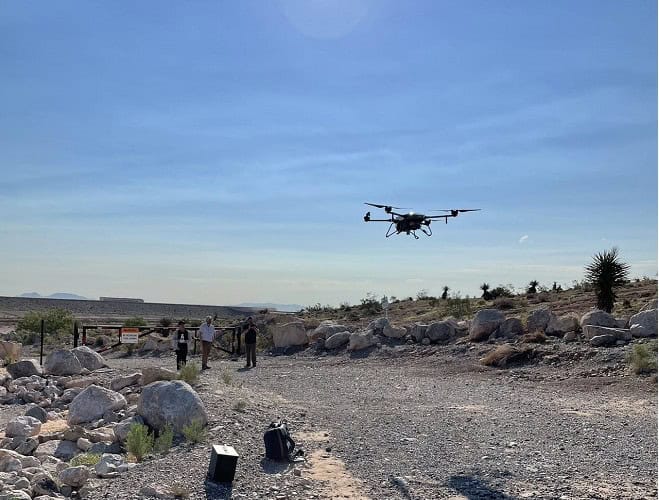
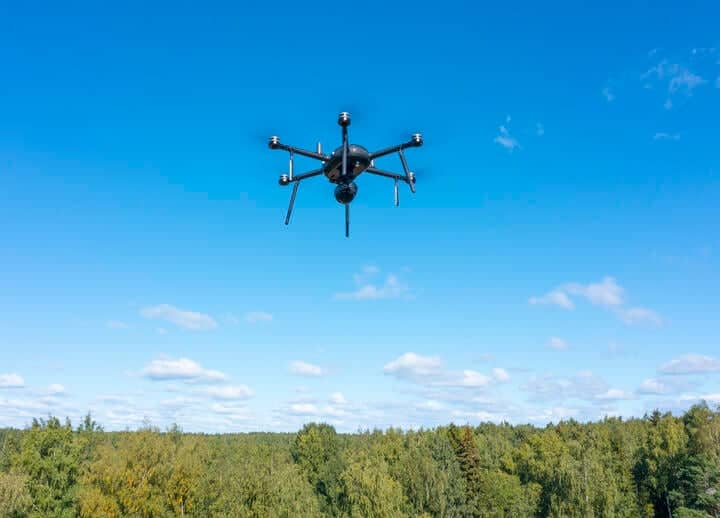
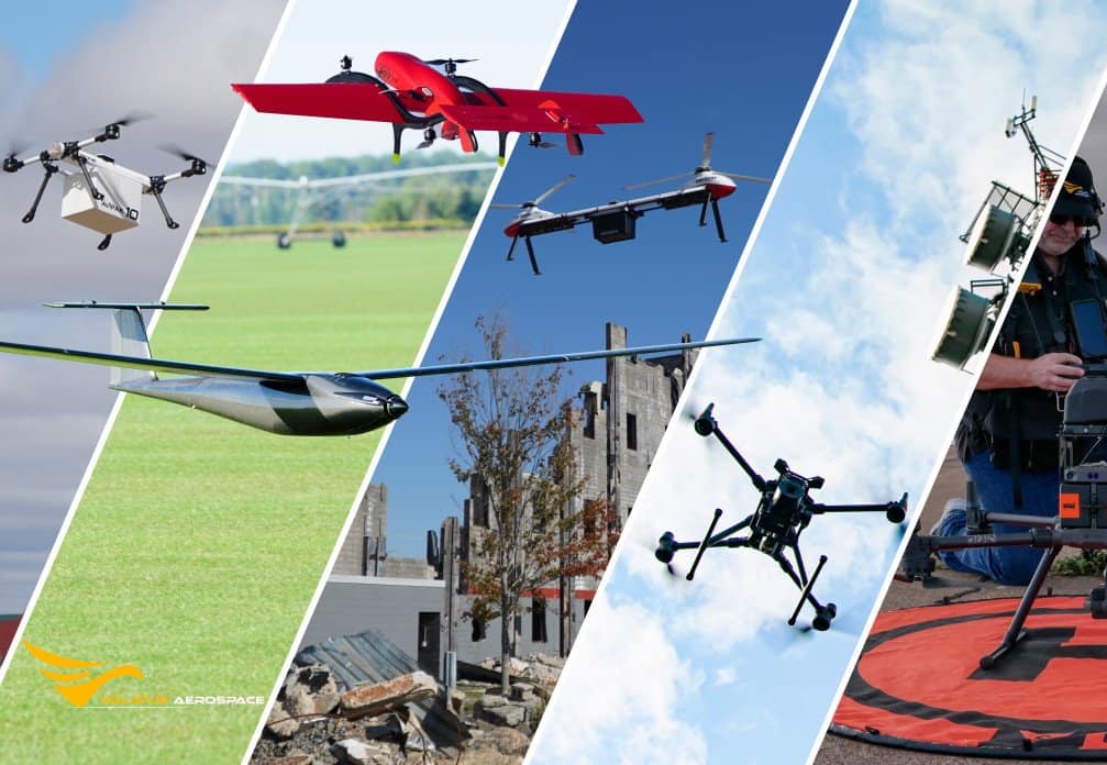
Fully Autonomous Multirotor Drones & Hybrid VTOL UAVs With AI Capabilities
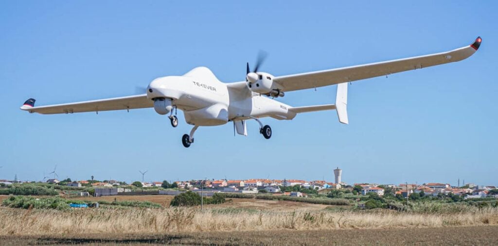
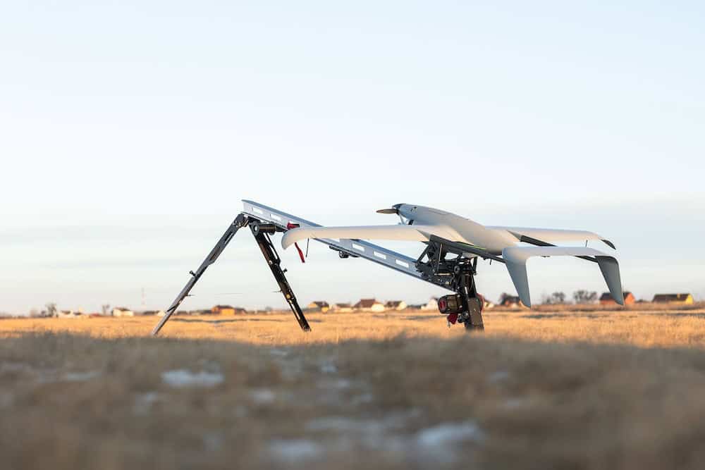
Fixed-Wing UAV Systems: Modular VTOL, Long-Range Maritime UAV, Tactical ISR UAS
Drone Technology Supplier & Drone Service Provider for Public Safety, Transportation & Training
Long-Endurance Fixed-Wing & Hybrid VTOL UAVs | UAV Payload Camera Systems | Power Systems
Professional, US-Made Multirotor Drones for Commercial & Government Applications
Advanced Autonomous UAV Platforms for Wide Area Actionable UAS Intelligence
Heavy-Duty, Heavy Payload Drones for Industrial Inspections, Public Safety and Search & Rescue

Fixed-Wing Hybrid Drones for Long-Range Medical Package Delivery & Infrastructure Inspections
NDAA-Compliant Heavy-Lift Drones | Certified Drone Parachutes | Engineering & Flight Operations Support
Commercial Heavy-Payload Drones for Heavy-Lift Cargo Transportation & Logistics
Commercial Drones for Delivery, Surveying, Agriculture, Security & Mapping - Target Drones - UAS GCS

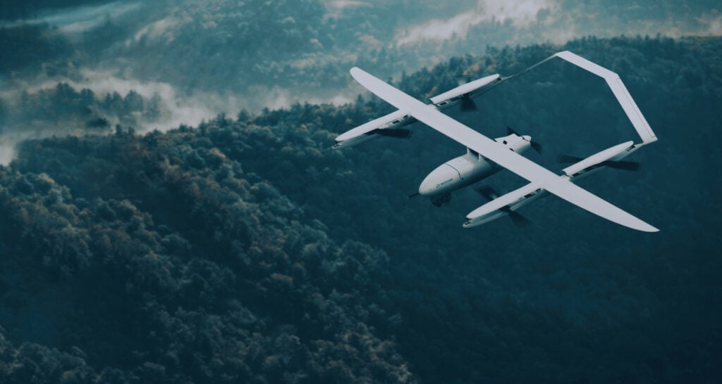
Fixed Wing VTOL UAV for Autonomous Mapping, Surveillance, Inspection and Cargo Applications

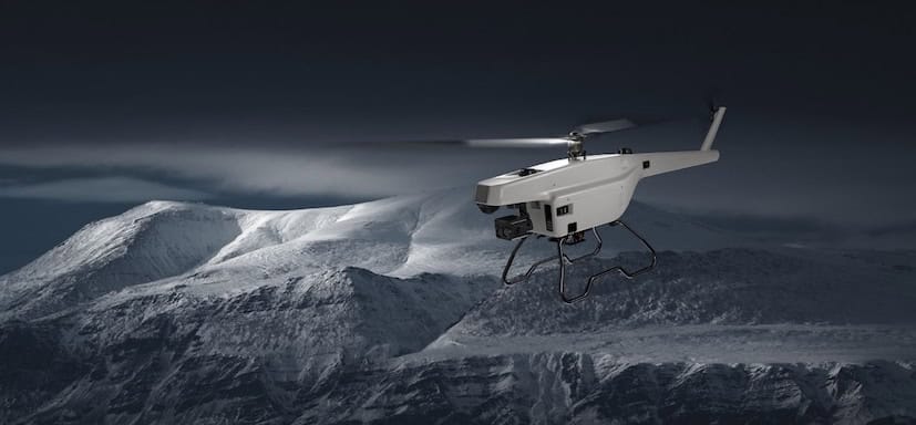
Long-Range Autonomous Helicopter Drone for Inspections, Surveillance, Search & Rescue, and Monitoring
GNSS Positioning & Navigation Systems, Mobile Mapping UAV LiDAR & Unmanned Surface Vehicles
Autonomous UAS, Research & Inspection UAVs for Industrial Inspection, Survey & Mapping
Professional Drones, Quadcopters, Multirotors & Hexacopters for Cinematography, Survey & Inspection
If you design, build or supply Construction Drones, create a profile to showcase your capabilities and connect with visitors who have an active requirement for your solutions.

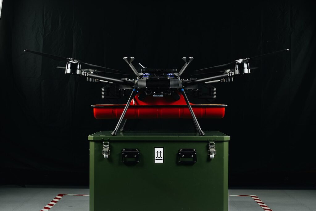
Construction drones transform how construction projects are surveyed, managed, and monitored. By integrating aerial imaging, LiDAR, photogrammetry, and advanced sensor payloads, UAVs provide rapid, high-accuracy data that supports site planning, inspection, and resource management. These platforms enable safer operations by reducing the need for workers to access elevated or hazardous locations, while also reducing project delays through continuous progress tracking. Construction UAVs are now integral to various site activities, offering data precision and operational flexibility.

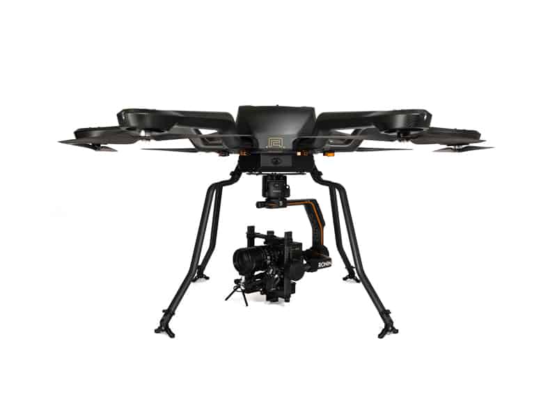
HLM Industrial Quadcopter by Aero Systems West
From initial site assessment to project completion, unmanned aerial vehicles are deployed throughout the construction lifecycle. Their roles include:
Aerial surveying using UAVs enables the creation of detailed 3D site maps and digital elevation models (DEMs). Drones with LiDAR or photogrammetry systems capture overlapping images and laser scans, processed through mapping software to generate georeferenced models. These data products support:
Mapping drones also assist in infrastructure expansion, ensuring accurate alignment and documentation of roads, utilities, and foundations.
Inspection drones are increasingly replacing traditional manual inspections. UAVs equipped with zoom cameras, gimbals, and thermal sensors allow engineers to perform non-contact inspections of tall or difficult-to-access structures. Typical inspection applications include:
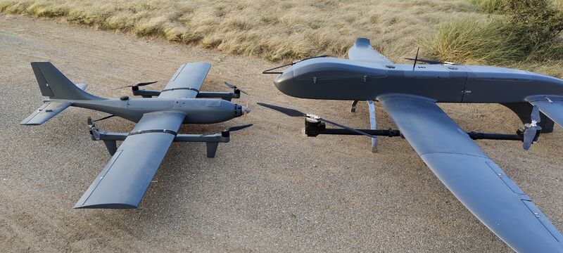
Construction UAVs can be classified based on design, flight characteristics, and intended use:
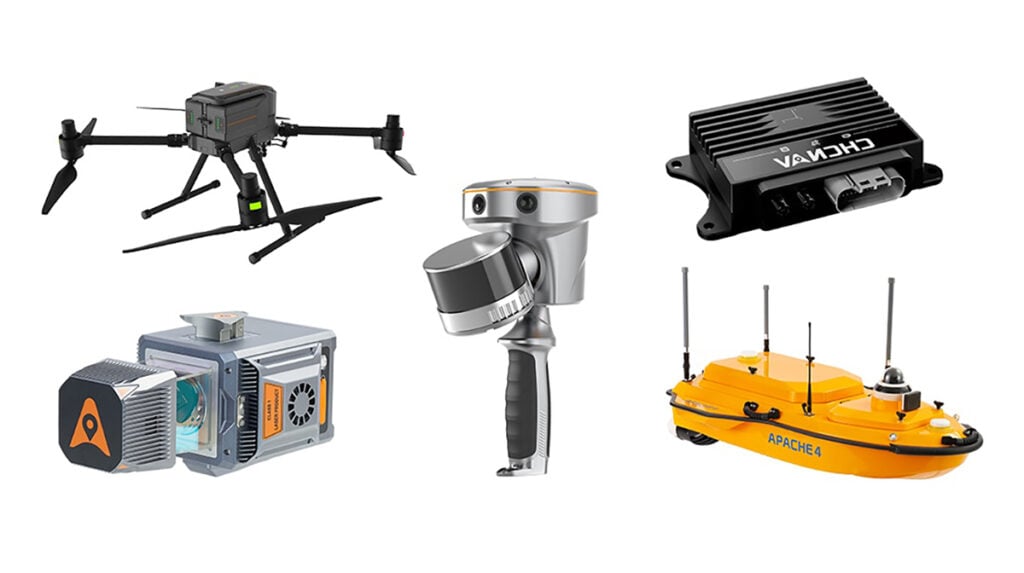
Modern construction drones integrate a range of onboard systems and payloads that enhance their performance and operational capability:
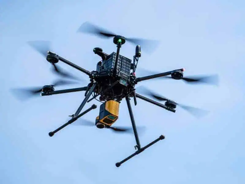
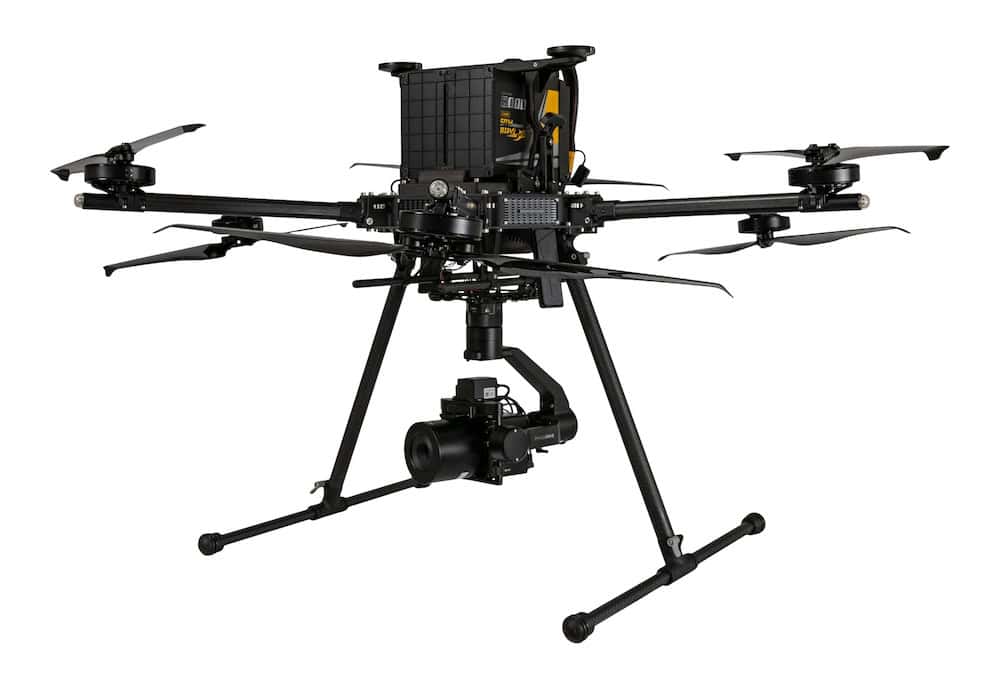
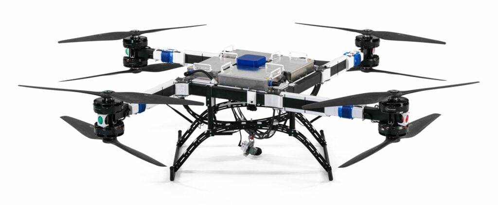
IF1200 Heavy-lift Hexacopter by Inspired Flight with YellowScan LiDAR
Data collected from UAV flights is integrated into project management and engineering systems. Using advanced software, drone data supports:
Operating drones on construction sites requires adherence to aviation and safety regulations. In most regions, operators must comply with local civil aviation authorities and maintain certifications such as FAA Part 107 in the United States or EASA Open/Specific Category permissions in Europe. Other considerations include:
Compliance ensures safe operations and alignment with organizational health and safety policies.
When evaluating UAVs for construction use, buyers should consider operational requirements such as flight endurance, payload capacity, sensor compatibility, and environmental resistance. Enterprise drones often include modular payload mounts, enabling users to interchange cameras, LiDAR sensors, or multispectral systems depending on project needs.
Procurement teams should also assess:
Advancements in artificial intelligence and automation are expanding the capabilities of construction UAVs. Emerging trends include:
These innovations continue to position UAVs as indispensable tools for modern construction management.
Many construction firms now access UAV technology through service-based models rather than purchasing equipment outright. Construction Drones as a Service (DaaS) allows companies to utilize aerial data and inspection capabilities without maintaining in-house drone fleets or trained pilots.
In this model, specialist UAV providers supply drones, payloads, and qualified operators on a project or subscription basis. Service contracts typically include flight planning, data acquisition, and post-processing to deliver ready-to-use outputs such as 3D site maps, progress reports, and volumetric analyses.
DaaS models offer several advantages for construction organizations:
This approach is particularly suited to construction companies that require aerial data intermittently or across multiple project sites. Some suppliers offer hybrid models, combining on-demand drone services with equipment leasing, training, and analytics software packages.
Manufacturers and service providers offer a range of UAV platforms, payloads, and software designed for the construction sector. Suppliers typically provide integrated systems for aerial mapping, structural inspection, and safety monitoring, along with data analytics platforms for post-flight processing.
Buyers can explore suppliers offering:
By adopting UAV technology, construction companies can achieve measurable improvements in accuracy, efficiency, and site safety while maintaining full regulatory compliance.

 Searching Companies & Products


 Subscribe to the Weekly eBrief
The latest engineering and technical developments straight to your inbox - join thousands of engineers who receive it.
Subscribe to the Weekly eBrief
The latest engineering and technical developments straight to your inbox - join thousands of engineers who receive it.