Woot Tech Aerospace

Commercial Drones for Delivery, Surveying, Agriculture, Security & Mapping - Target Drones - UAS GCS

United States of America
Woot Tech Aerospace
Commercial Drones for Delivery, Surveying, Agriculture, Security & Mapping - Target Drones - UAS GCS
8 The Green, Ste B, Dover 19901, DE United States of America Regional offices
+1-302-342-1277

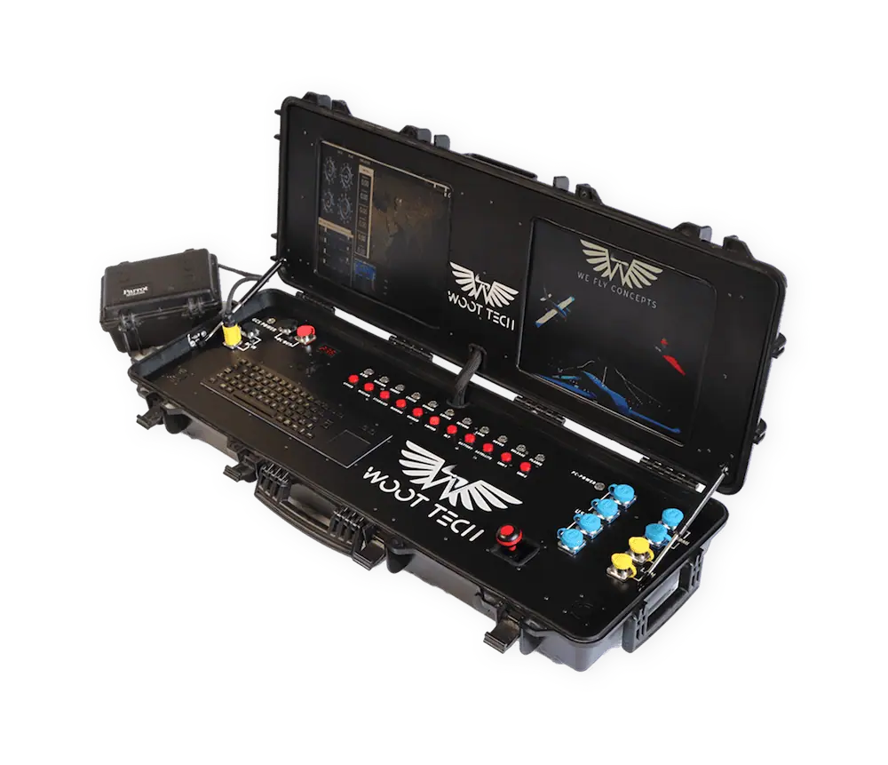
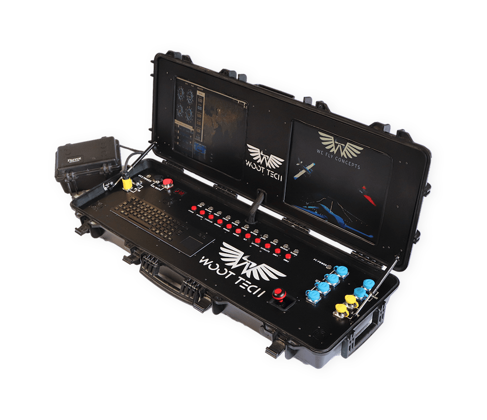
Woot Tech Aerospace is a leading UAS (unmanned aerial systems) manufacturer and an operator of industrial and commercial drone platforms for a wide variety of applications. Providing both COTS and bespoke products, we can deliver custom end-to-end solutions that include support and training tailored to your exact requirements.

uas manufacturer

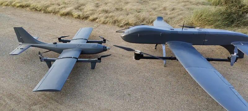
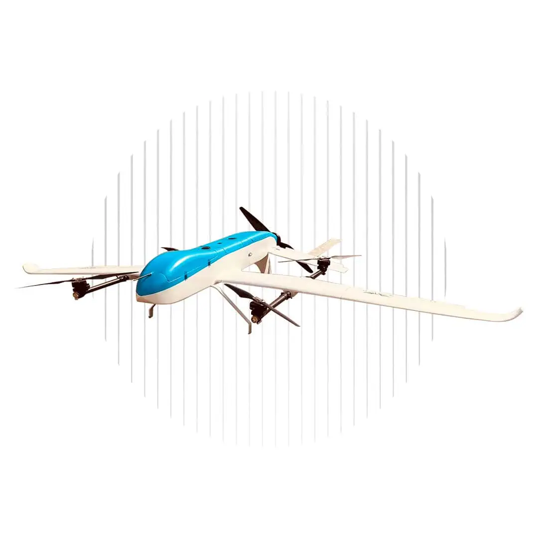
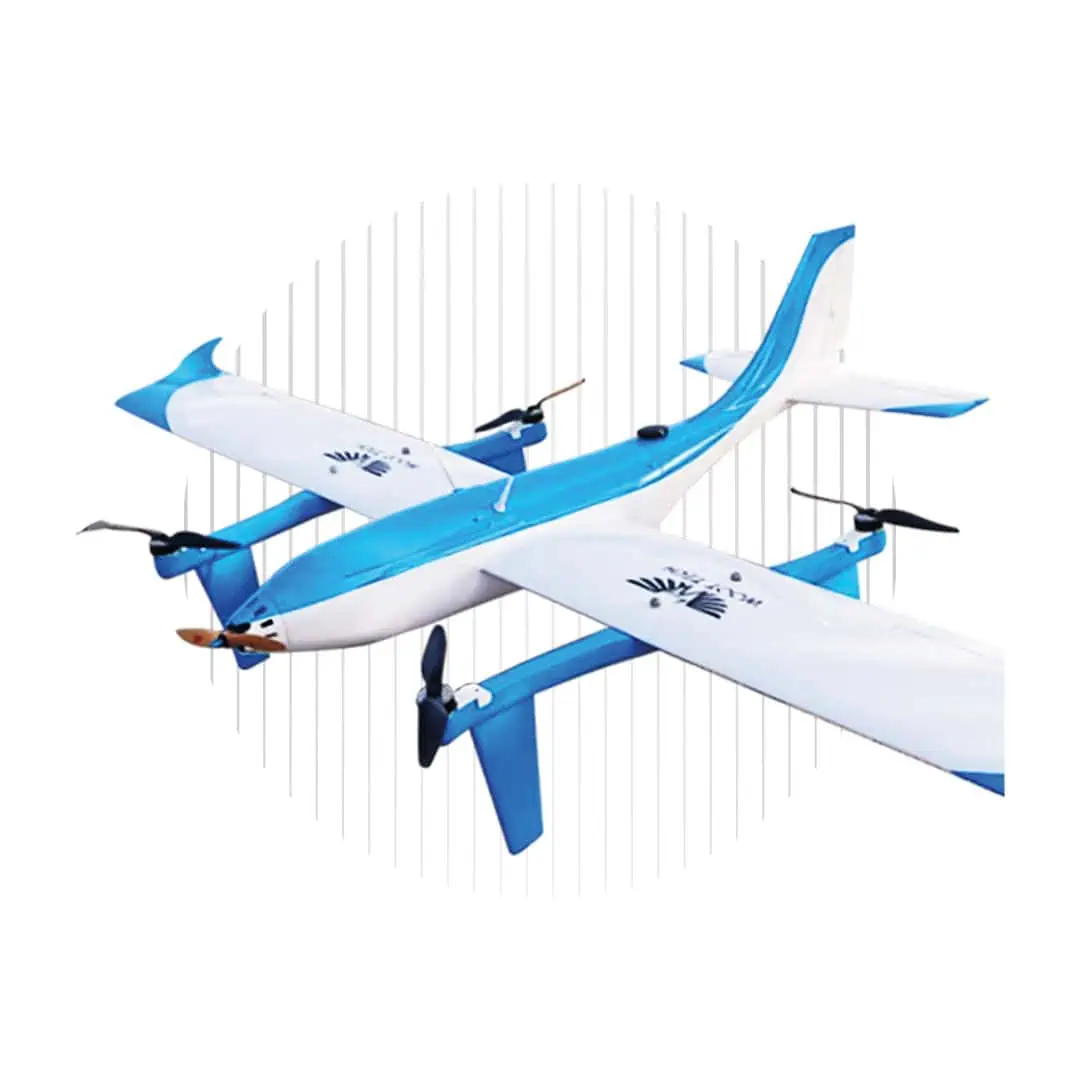
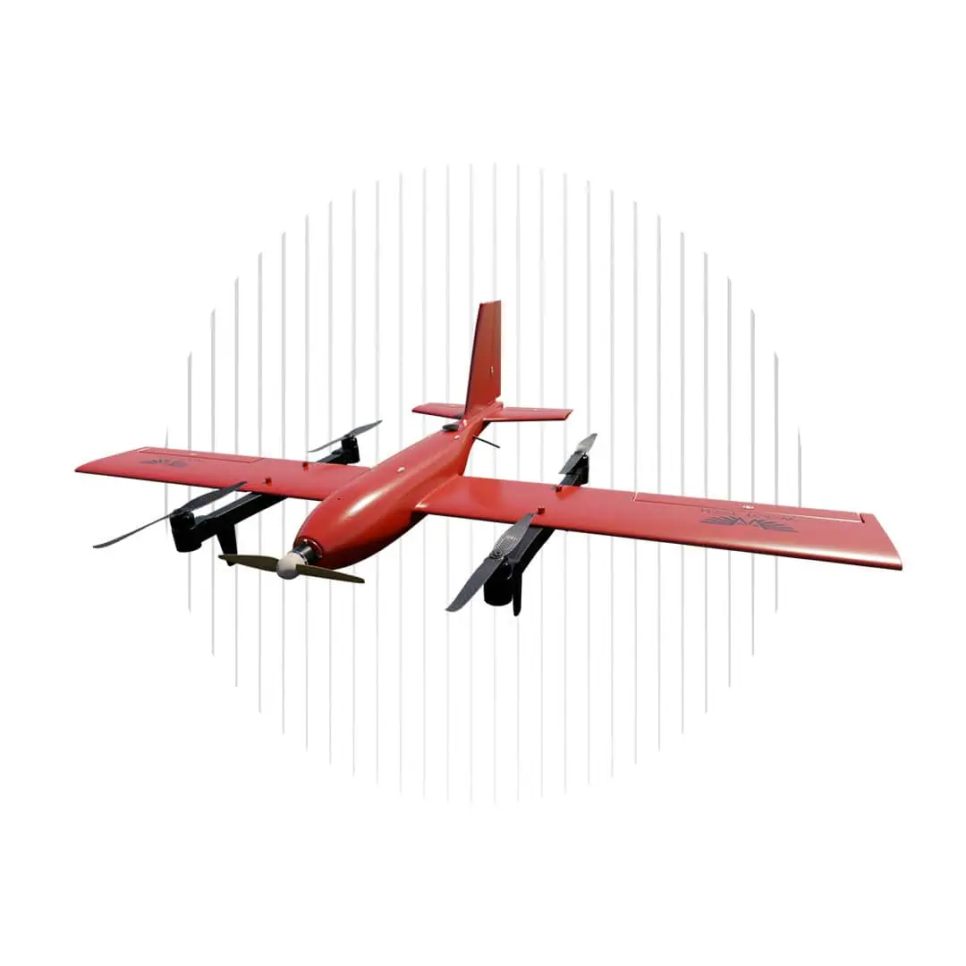
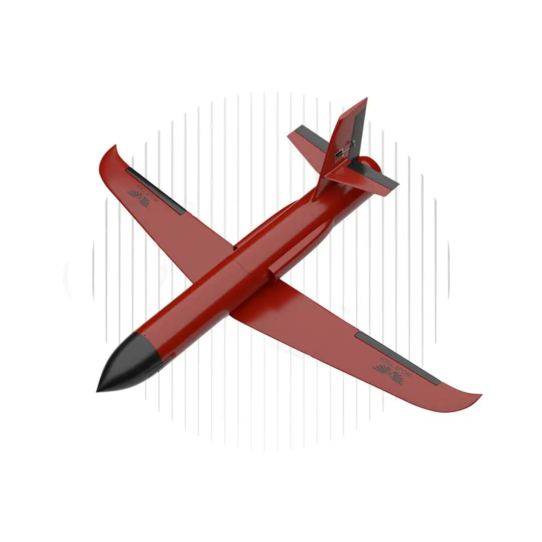
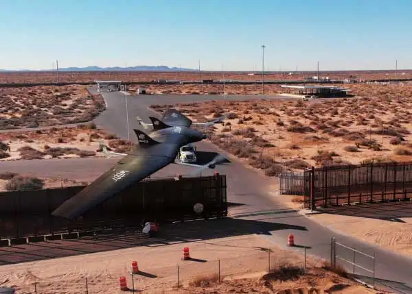
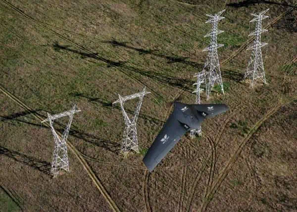
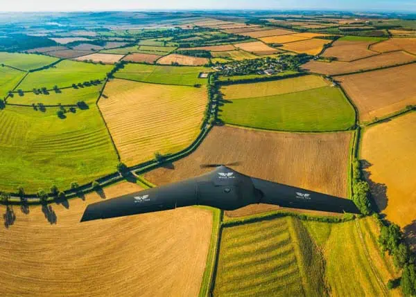
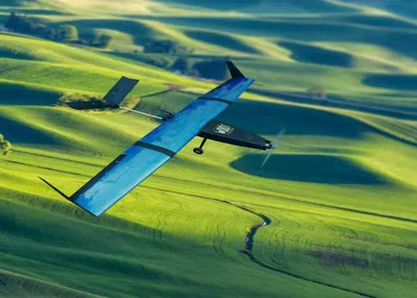
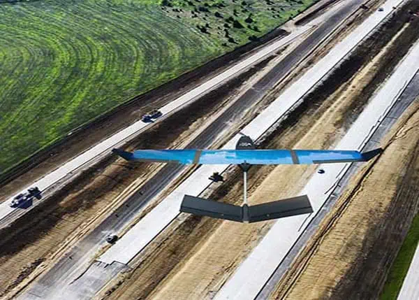
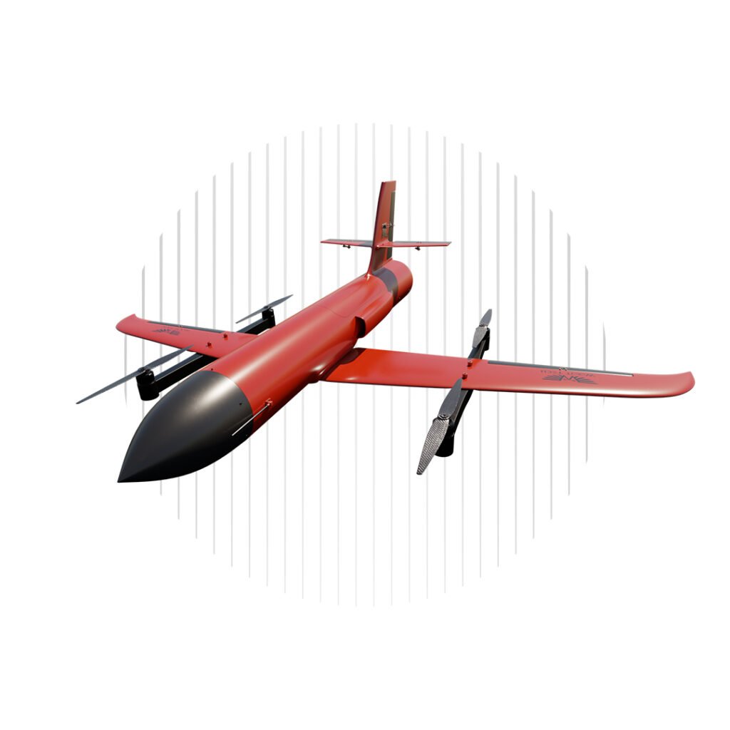
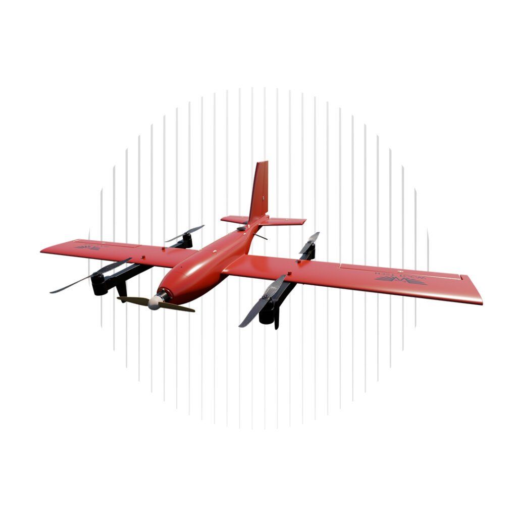
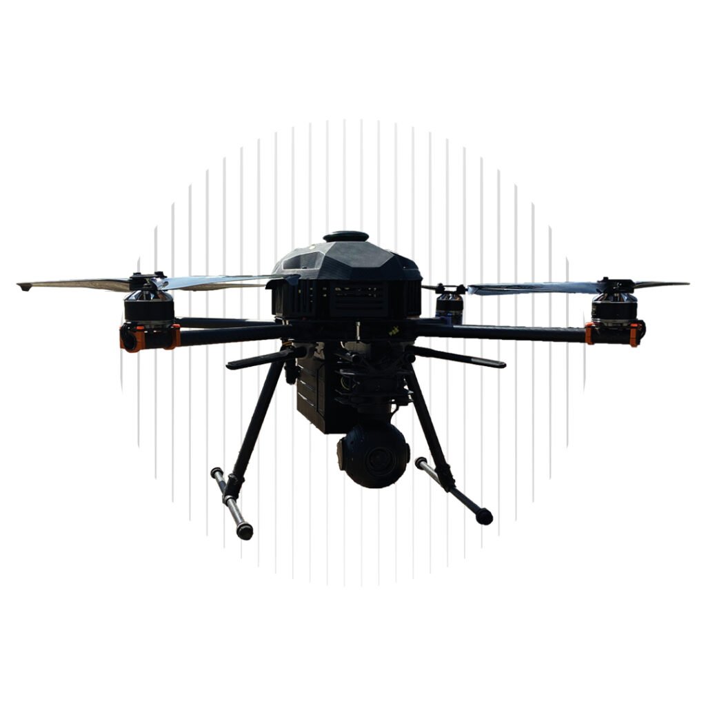
We have developed a range of different UAS including multirotor and fixed-wing VTOL drone platforms, and our flagship products include advanced hybrid VTOL drones that combine the manoeuvrability of rotorcraft with the efficiency and long range of winged flight.

Woot Tech’s UAS designs incorporate sophisticated in-house-developed artificial intelligence (AI) capabilities that utilize the state of the art in computer vision to enable advanced autonomy and navigation.

Commercial Drones

vtol mapping drone

Survair

Hybrid VTOL mapping, inspection & surveillance drone

  • Endurance of up to 120 minutes
  • Flight range of up to 100 km
  • Payload options include EO/IR systems, LiDAR & Sony photogrammetry cameras

commercial drones for delivery

Pelican

Fixed-wing VTOL drone for critical healthcare cargo delivery

  • Environmentally-controlled payload bay for medicines & samples
  • 4G & 5G connectivity
  • 45 mins max endurance & 30 km max flight range

ISR security drone

AlienX

VTOL drone for ISR & cargo delivery

  • All-electric or hybrid powertrain
  • 10 kg payload capacity
  • Flight range of up to 500 km

aerial survey drone

SkyInspector

Quadcopter drone for inspection & surveillance

  • Foldable arms & propellers
  • Payload options include EO/IR systems, multispectral sensors & Sony photogrammetry cameras
  • 45 mins max endurance & 30 km max flight range

precision agriculture drone

SkyBee

Multirotor precision agriculture drone for multispectral surveying

  • Payload options include RGB & thermal cameras, multispectral sensors, & FPV for inspection
  • Can be equipped with agricultural sprayer
  • Up to 20 mins flight endurance

Target Drones

Turbojet VTOL target drone

Firebolt

Turbojet-powered VTOL target drone

  • Launch from land or vessel
  • Enables testing of air-to-air and surface-to-air weapons
  • Max speed 120 m/s

Firefly VTOL target drone

Firefly

Gasoline engine-powered VTOL target drone

  • No runway or catapult required
  • Designed for testing of missiles as well as 35-90mm cannons
  • Max speed 50 m/s

UAS Ground Control Station (GCS)

UAS Ground Control Station GCS

Rocksteady GCS

Rugged UAS GCS for drone control & mission planning

  • IP67 rated
  • Dual-screen for simultaneous drone & payload control
  • Up to 10 hours battery life

Applications

Delivery
Our long-range delivery drones enable critical cargo to reach remote destinations in a timely manner, operating with a reduced carbon footprint and avoiding traffic congestion.

drones for security surveillance

Security
Drones are ideal for round-the-clock security surveillance, providing a persistent capability under all weather conditions and delivering real-time data both during the day and at night.

commercial drones - uav survey and inspection

Oil and Gas & Infrastructure Inspection
Our drone platforms provide a variety of advantages for inspection of oil and gas facilities, roads and railways, powerlines and other infrastructure, enabling asset digitalization and real-time insights without shutting down operations or introducing additional safety risks.

drones for commercial use

Mining & Excavation
Woot Tech commercial UAS enable the creation of highly detailed and accurate 3D models, allowing mine and quarry operators to assess deposits, precisely measure volumes, and plan for expansion.

uav agriculture

Precision Agriculture
Equipped with advanced multispectral camera payloads, our drones are ideal for precision agriculture data gathering, enabling farming professionals to gain insights into crop health and maximize their yields.

drone land surveying

Land Mapping & Surveying
UAS mapping and aerial surveying provides an efficient alternative to traditional manned methods, covering large areas in a single flight and producing high-accuracy topographic maps and models.

fixed wing vtol drone

Construction & Architecture
Our UAS platforms provide the construction industry with a vital aerial surveying capability, enabling efficient site planning and monitoring, stockpile measurement, terrain and building modelling, and more.

Regional Offices & Locations
Woot Tech Aerospace LLC United States of America 8 The Green, Ste B, Dover 19901, DE +1-302-342-1277 Contact Website