


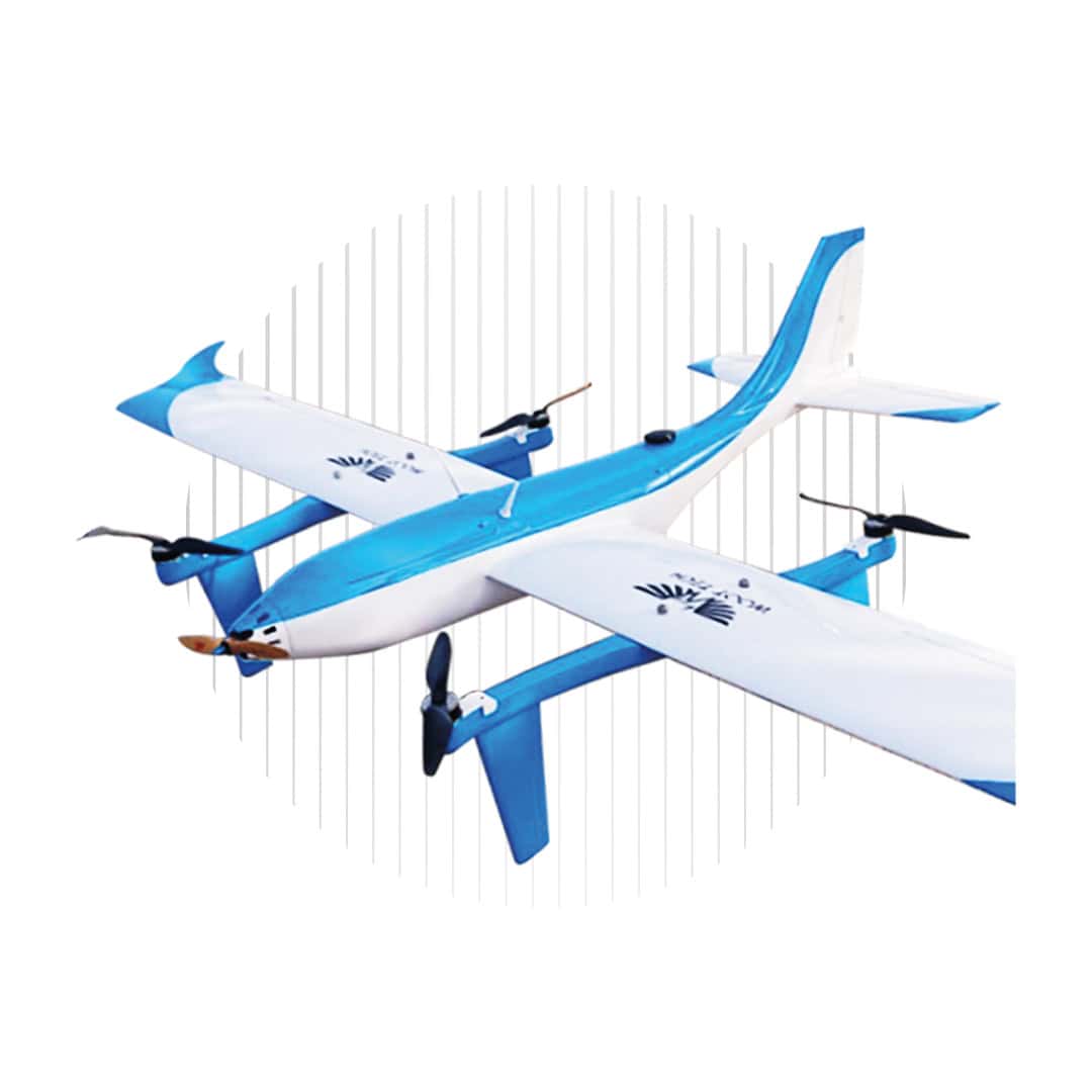
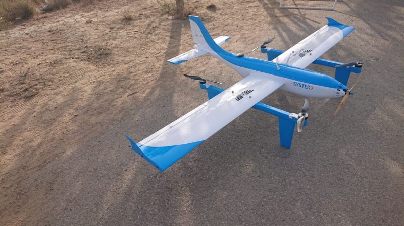
Survair Hybrid VTOL UAV
The Survair is a long-endurance hybrid VTOL drone that is specifically designed for professional mapping and surveying applications, and can also be used for real-time surveillance and infrastructure monitoring. The proprietary aerodynamic design allows the UAS to maintain excellent stability even under turbulent wind conditions.
Payload options include:
- Sony photogrammetric cameras such as a7R IV, RX1R II
- EO/IR system (EO 1080p 30x zoom, thermal 640×512)
- Multispectral camera
- LiDAR scanner
Specifications:
| Max Flight Endurance | 120 mins |
| Max Speed | 65 km/h |
| Max Payload Capacity | 3 kg |
| Max Flight Range | 120 km |
| Max Altitude | 1500 m |
| Radio Link Range | 150 km |
| Video Transmission Range | Up to 40 km |
| Wind Speed Conditions | 25 km/hr max |


