



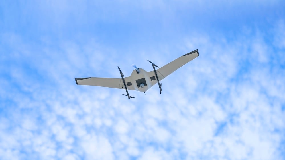


DeltaQuad Evo Enterprise is an electric fixed-wing VTOL unmanned aerial system designed for commercial mapping, surveying, inspection and monitoring. Its fixed-wing design supports extended aerial coverage, while vertical take-off and landing removes the need for runway infrastructure.
Dual swappable payloads support RGB, multispectral, LiDAR and thermal data collection, allowing operators to select sensors for different projects. RTK and PPK support georeferenced mapping and measurement workflows, with collected data used to produce orthomosaics, terrain and elevation models, and digital twins.
Onboard LTE connectivity and the Auterion Suite environment support centralised management of fleets, flights and connectivity. ATAK integration enables location and mission-data sharing across compatible systems.
The modular design supports integration of additional commercial sensors as requirements evolve. Applications include infrastructure inspection, precision agriculture, utility monitoring and environmental assessment.
Specifications:
| Dimensions (wingspan × length × height) | 269 × 75 × 33 cm; height with landing gear extended |
| Wing area | 84 dm² |
| Payload bay dimensions | 20 × 20 × 11 cm |
| Empty weight | 4.8 kg |
| Weight with one battery | 6.8 kg |
| Maximum take-off weight | 10 kg |
| Payload capacity | Up to 3 kg; 1 kg with dual batteries |
| Maximum flight time—dual battery | 272 minutes (4 hours 32 minutes) |
| Flight range—dual battery | 270 km (168 miles) |
| Flight speed—listed dual-battery configuration | Approximately 60 km/h |
| Maximum take-off/landing wind | 12.5 m/s (45 km/h) |
| Maximum cruise wind | 14 m/s (50 km/h) |
| Operating temperature | −20°C to +45°C |
| Sensor options | RGB, multispectral, LiDAR and thermal |
| Mapping positioning | RTK and PPK support |
| Connectivity | Onboard LTE |
| Fleet and flight management | Auterion Suite |
| Data integration | ATAK-compatible location and mission-data sharing |