
Showcase your capabilities
If you design, build or supply Air Data Systems, create a profile to showcase your capabilities and connect with visitors who have an active requirement for your solutions.


Air Data Systems (ADS) are fundamental to the performance and safety of unmanned and remotely controlled aerial platforms. By delivering essential data such as airspeed, altitude, and atmospheric conditions, ADS empowers these aircraft to operate with precision across diverse mission profiles. Whether autonomously or via remote control, UAVs rely on ADS to maintain stability, optimize navigation, and enhance overall mission success.
Read the Technology Overview
High-Accuracy Navigation & Positioning Solutions for Unmanned & Autonomous Vehicles

Inertial Navigation Sensors: MEMS IMU, Accelerometers, Gyroscopes, AHRS, GPS-INS & Point Cloud Generation

Flow Measurement Technologies & Air Data Systems for Unmanned Aerial Vehicles
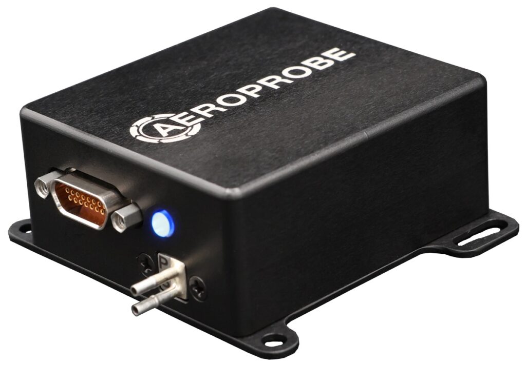
Cutting-Edge Air Data & Flow Measurement Solutions for Unmanned & Autonomous Systems
Professional UAV Components & Sensors: Drone Flight Controllers, GNSS Modules, Telemetry Solutions
If you design, build or supply Air Data Systems, create a profile to showcase your capabilities and connect with visitors who have an active requirement for your solutions.

Air Data Systems (ADS) are integrated avionics solutions that measure and process atmospheric data, ensuring the safe and efficient operation of aerial platforms. In autonomous unmanned aerial vehicles (UAVs), ADS provides data that informs onboard decision-making, enabling self-directed navigation and environmental adaptation. For remote-controlled aircraft, ADS relays vital flight information to operators, aiding in manual control and situational awareness.
ADS is indispensable for maintaining flight stability, optimizing aerodynamic performance, and ensuring mission success in both autonomous and remote-controlled scenarios.
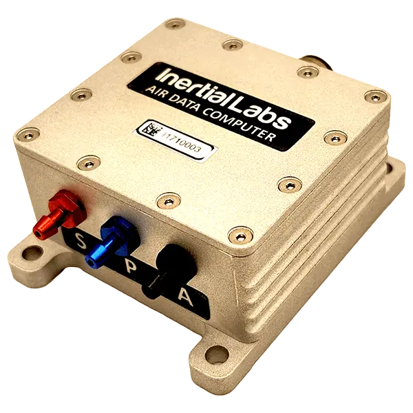
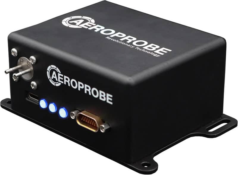
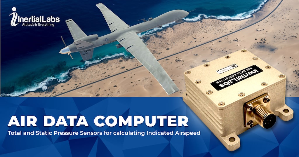
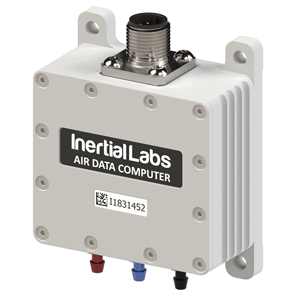
Air Data Computer ADC by Inertial Labs
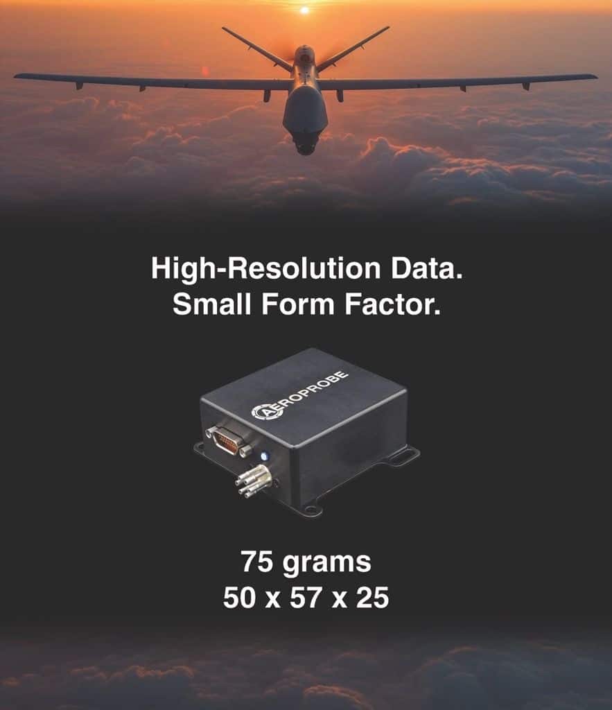
The air data computer is the processing core of ADS, translating inputs from various sensors into actionable metrics such as altitude, Mach number, indicated airspeed, and true airspeed. For autonomous UAVs, ADCs feed data to flight control algorithms. For remote-controlled platforms, they provide operators with precise real-time information to guide decision-making.
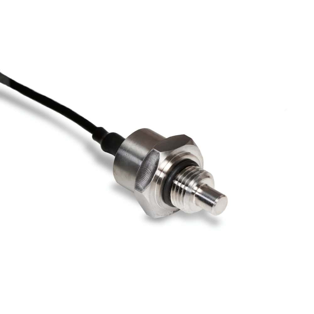
Pitot tubes measure dynamic pressure, enabling accurate airspeed calculations. These devices are critical for ensuring the stable operation of aircraft, whether the control is automated or manual. For remote-controlled systems, pitot tube data provides operators with direct feedback on flight conditions.
Static ports measure ambient atmospheric pressure, which, when combined with pitot tube data, allows for the determination of altitude and airspeed. This data ensures that autonomous UAVs and remote-controlled aircraft maintain their intended flight profiles.
Temperature sensors, including Total Air Temperature (TAT) probes, measure external air temperature. This data influences true airspeed calculations and enables optimal aerodynamic performance, critical for unmanned and remote-controlled operations alike.
Additional components, such as barometers, magnetometers, and angle-of-attack sensors, enhance ADS functionality by enhancing aerodynamic stability, altitude accuracy, and navigation precision.
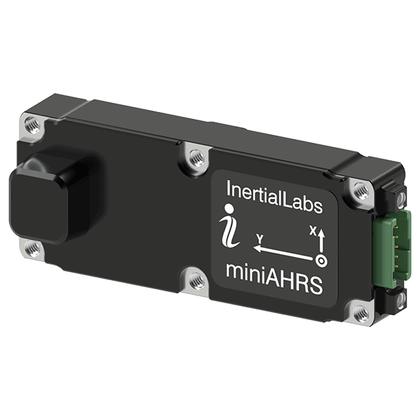
An Attitude and Heading Reference System (AHRS) often complements Air Data Systems, particularly in advanced UAVs and remote-controlled aircraft. While the ADS focuses on measuring atmospheric parameters such as airspeed, altitude, and pressure, AHRS provides critical orientation data, including pitch, roll, and yaw. This combination enhances situational awareness and flight stability, ensuring precise maneuvering and reliable navigation. By integrating data from inertial sensors, magnetometers, and GNSS/GPS, AHRS enables smoother flight control, particularly in autonomous systems, where maintaining orientation is crucial for mission success. When paired with ADS, AHRS significantly improves the accuracy and responsiveness of onboard flight control and navigation systems.
ADS is a cornerstone of flight control and navigation for autonomous UAVs. By providing inputs on airspeed, altitude, and atmospheric conditions, ADS allows UAVs to adapt to changing environments, maintain optimal flight paths, and execute missions without human intervention.

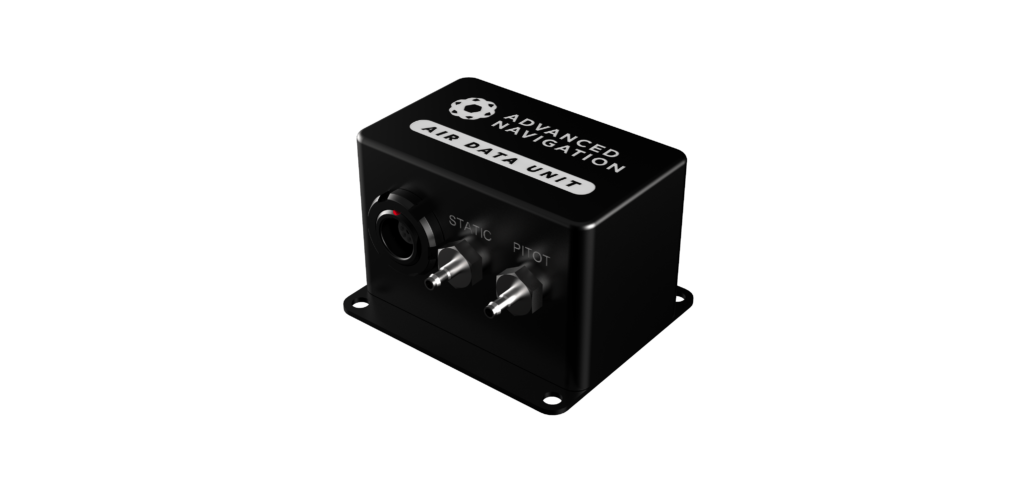
Air Data System (ADS) by Advanced Navigation
In remote-controlled platforms, ADS offers operators critical insights into flight conditions. Metrics such as indicated airspeed, altitude, and angle of attack are displayed in real-time, enabling pilots to make precise adjustments for safe and efficient operation.
Both autonomous and remote-controlled aircraft benefit from ADS outputs in the following ways:
ADS collects and processes a wide range of data essential for unmanned and remote-controlled flight, including:
These insights empower both UAVs and remote operators to maintain flight control and achieve mission objectives.
ADS supports advanced onboard algorithms that allow UAVs to operate autonomously, reducing the need for continuous human input.
ADS provides pilots with real-time information on flight parameters for remote-controlled aircraft, improving situational awareness and control accuracy.
Whether used in surveillance, cargo transport, or weather monitoring, ADS enables aircraft to adapt to specific operational requirements.
ADS ensures safe operations in varying atmospheric conditions by providing accurate data on weather changes, air density, and altitude.
Air Data Systems are integral to the functionality and safety of modern aerial platforms, providing real-time environmental data critical for stable and efficient operation. Whether supporting autonomous UAVs or enhancing the control of remote pilots, ADS components like ADCs, pitot tubes, and temperature sensors deliver the precision and reliability necessary for diverse mission success. By bridging the gap between atmospheric conditions and flight mechanics, ADS continues to drive innovation in unmanned and remotely controlled aviation technology.

 Searching Companies & Products


 Subscribe to the Weekly eBrief
The latest engineering and technical developments straight to your inbox - join thousands of engineers who receive it.
Subscribe to the Weekly eBrief
The latest engineering and technical developments straight to your inbox - join thousands of engineers who receive it.