Advanced Navigation

AI-based Inertial Navigation Systems (MEMS and FOG), Acoustic Positioning Solutions

Australia
Advanced Navigation
AI-based Inertial Navigation Systems (MEMS and FOG), Acoustic Positioning Solutions
Level 12, 255 George Street, Sydney, NSW 2000 Australia Regional offices
+61 2 9099 3800

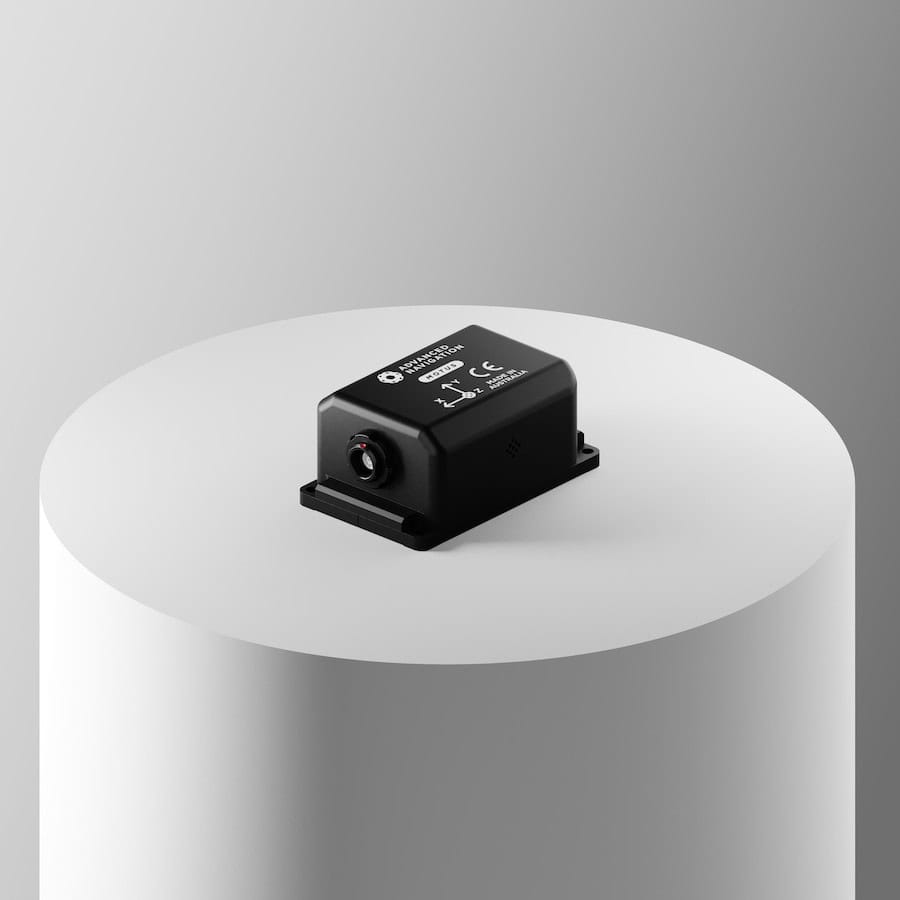
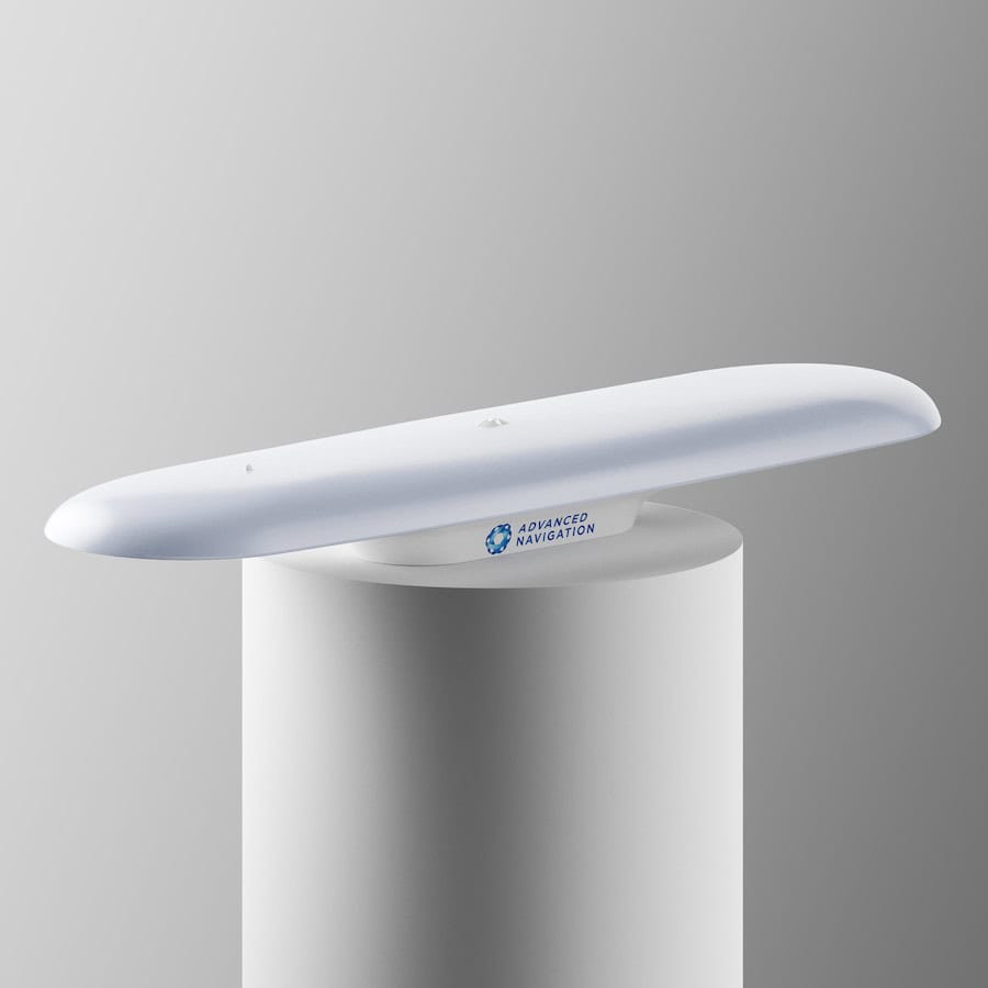
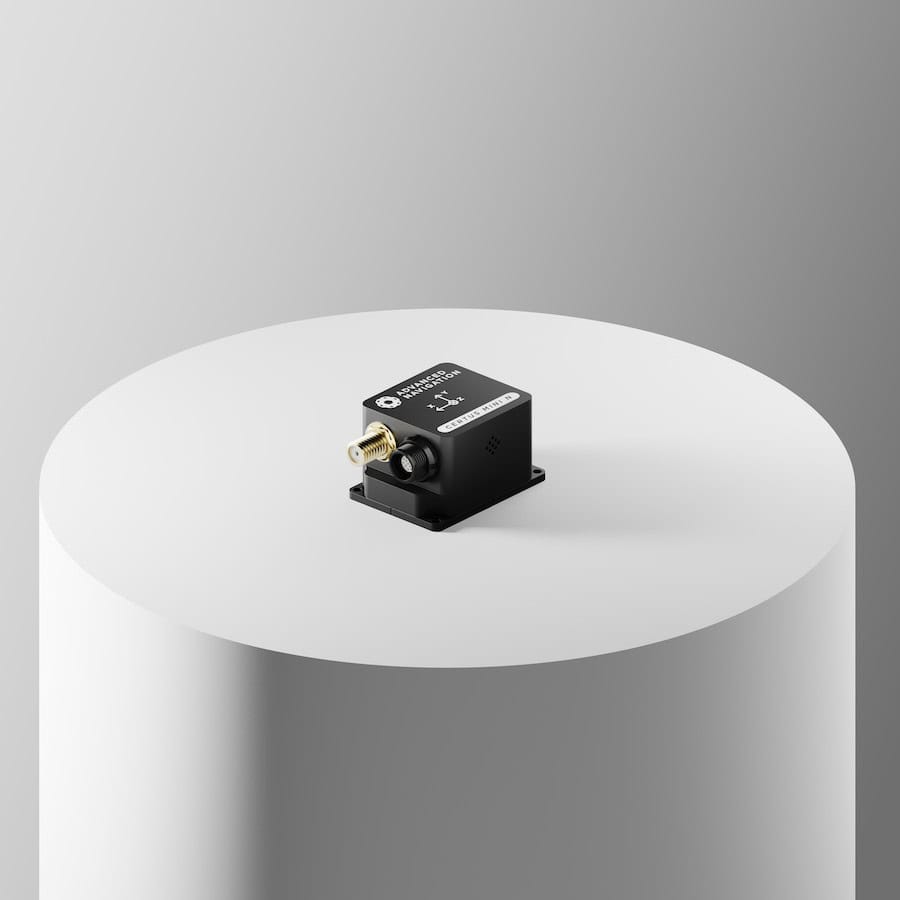
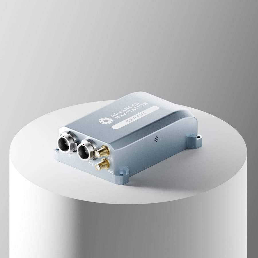
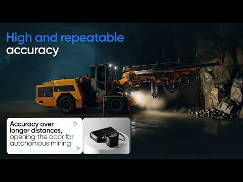
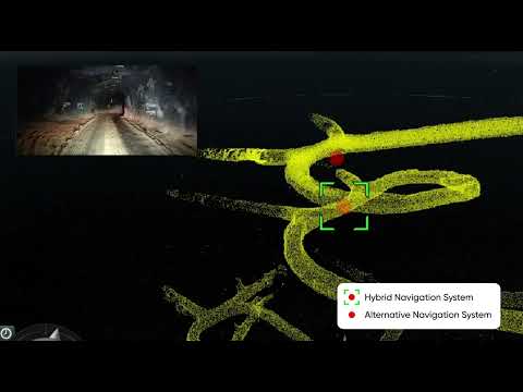
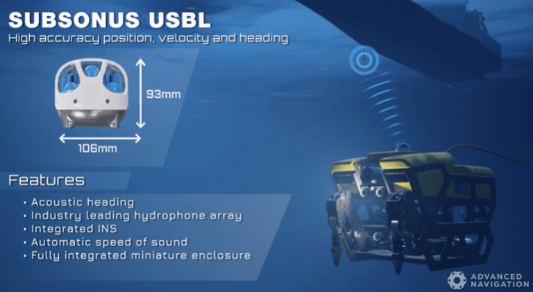
Advanced Navigation is a leading manufacturer of high accuracy inertial navigation systems for Commercial and Defense applications. Our MEMS (Micro Electro-Mechanical systems) and FOG (Fiber Optic Gyro) based navigation products are ideal for a wide range of UAV (unmanned aerial vehicle), UGV (unmanned ground vehicle) and AUV (autonomous underwater vehicle) applications.

High-performance and compact IMU & AHRS

Orientus Miniature MEMS AHRS Sensor

Compact, rugged AHRS for stabilization and controlOrientus Miniature MEMS AHRS for stabilization and control

Orientus is a ruggedized miniature orientation sensor and AHRS (Attitude & Heading Reference System) that combines temperature calibrated MEMS accelerometers, gyroscopes and magnetometers using a state-of-the-art fusion algorithm to deliver accurate and reliable orientation in even the most demanding environments.

The minimal size, weight and power requirements make it ideal for unmanned vehicle applications such as platform and camera stabilization, as well as a heading reference source for unmanned surface vehicles.

Orientus Rugged AHRS for UAV stabilizationKey Features:

  • Linear Acceleration Compensation
  • Magnetic Interference Mitigation
  • Low Weight : 25 grams
  • Small Size : 30 x 30 x 24 mm
  • Low Power : 65 mA @ 5V

Find out more: Orientus Miniature AHRS

Motus Miniature MEMS IMU Sensor

Ultra-high accuracy miniature inertial sensor for UAVsMotus Miniature MEMS IMU for UAV

Motus is a miniature ultra-high accuracy MEMS IMU (inertial measurement unit) that combines ultra-high accuracy accelerometers and gyroscopes with magnetometers to provide inertial performance that exceeds even some FOG IMUs.

With a volume of just over 1 cubic inch and a weight of only 26 grams, Motus is ideal for SWaP-conscious applications, such as geopointing and LiDAR missions with VTOL UAVs.

MOTUS+ OEM MEMS IMUKey Features:

  • Hot Start Time : 2 seconds
  • IMU, AHRS and INS options
  • 2 versions : OEM or Rugged

Find out more: Motus Miniature MEMS IMU

Advanced Navigation AHRS

High-accuracy MEMS GNSS/INS solutions

Certus and Certus Evo GPS-Aided INS & AHRS

Rugged low-SWAP positioning solutions for UAVs and Robotics

Certus GPS-Aided INSCertus and Certus Evo are rugged low-SWaP, ITAR-free GPS-aided INS and AHRS modules that combine temperature-calibrated accelerometers, gyroscopes, magnetometers and a pressure sensor with a dual antenna RTK GNSS receiver, all coupled with a cutting-edge AI-based sensor fusion algorithm.

Certus modules incorporate dual antenna moving baseline RTK, providing highly accurate heading data for both stationary and moving vehicles even in magnetically problematic environments.

Certus and Certus Evo are ideal for UAV and USV surveying, antenna and weapons platforms targeting, and stabilization of robotic systems.

Certus Evo GPS-Aided INSKey Features:

  • Dual Antenna Heading
  • Free Multi-Constellation RTK
  • Ethernet, CAN, RS232, RS422 and GPIO Interfaces
  • Internal Data Logging
  • OEM or Rugged options

Spatial Miniature GPS-Aided INS/AHRS

Rugged inertial navigation system for UAVs and Robotics

Spatial is a ruggedized miniature GPS-aided INS (inertial navigation system) and AHRS that provides accurate position, velocity, acceleration and orientation outputs. It couples high-performance MEMS inertial sensors and a pressure sensor with an advanced GNSS receiver using an AI-driven fusion algorithm to deliver accurate and reliable navigation and orientation.

With low SWaP requirements, Spatial is ideal for UAV surveying and geo-referencing missions, as well as tracking, security and platform stabilization for a wide range of robotic systems.Spatial MEMS INS for UAVs robotics

Key Features:

  • Multi-Constellation RTK
  • Hot Start Time : 500 ms
  • Low Weight : 30 grams
  • Small Size : 30 x 30 x 24 mm
  • Low Power : 65 mA @ 5V

Find out more: Spatial Miniature GPS-Aided INS/AHRS

Advanced Navigation MEMS INS

High-performance FOG INS solutions

Spatial FOG Dual GPS-Aided INS/AHRS

Rugged FOG INS with dual antenna headingSubsonus Underwater Acoustic Positioning System

The Spatial FOG Dual is a dual-antenna moving baseline RTK variant of the Spatial FOG GPS-aided INS/AHRS. It provides highly accurate heading output while both stationary and moving. The triple frequency Trimble RTK GNSS receiver provides up to 8mm accuracy positioning and supports all of the current and future satellite navigation systems, as well as the Omnistar service for even higher accuracy positioning.

Key Features:

  • Dual Antenna Heading
  • L1/L2 RTK/PPK
  • Hot Start Time : 2 seconds
  • Low size, Weight and Power

Find out more: Spatial FOG Dual GPS-Aided INS/AHRS

Boreas D90 Digital FOG INS

Strategic-grade INS with low SWaP-C

Boreas digital FOG INSThe Boreas D90 is an ultra-high accuracy, strategic-grade INS, offering a 40% reduction in size, weight, power, and cost relative to competing systems. Boreas D90 is the first product to be released that is based on Advanced Navigation’s new DFOG (Digital Fiber Optic Gyroscope) technology, which is the culmination of 25 years of development involving two research institutions.

The Boreas D90 is targeted at applications requiring always available, ultra-high accuracy, orientation, and navigation including marine, surveying, subsea, aerospace, robotics, and space.

Key Features:

  • Dual Antenna Heading
  • GPS L1, L2, GLONASS L1, L2, GALILEO E1, E5b, BeiDou B1, B2, RTK/PPK
  • Hot Start Time : 2 seconds
  • Low size, Weight and Power

Find out more: Boreas D90 Digital FOG INS

Acoustic Underwater Navigation

Subsonus Underwater Acoustic Positioning System

High accuracy, miniature USBL for AUVs, ROVs

Subsonus USBL for AUV and ROVSubsonus is a next-generation USBL underwater acoustic positioning system combining an industry-leading eight channel factory calibrated hydrophone array with an internal tightly coupled INS. Capable of operating at depths of up to 1000 metres, it fuses acoustic position and doppler velocity with factory calibrated inertial sensors and a depth sensor, providing highly accurate position, velocity and heading outputs.

Subsonus is ideal for station keeping, control and subsea surveying applications for both AUVs (autonomous underwater vehicles) and ROVs (remotely operated vehicles).

Key Features:

  • Sound Velocity Sensor
  • Very Low Size, Weight and Power
  • Multipath Rejection
  • Acoustic Modem
  • Integrated INS
  • Speed of Sound Sensor

Find out more: Subsonus Underwater Acoustic Positioning System

Subsonus Tag Acoustic Positioning Transponder

Low cost sensor for sub-sea remote sensing and tracking

Subsonus TAGSubsonus Tag is a low cost acoustic positioning transponder designed for use with our Subsonus USBL. The hermetically sealed unit features an integrated battery, wireless charging and a low-power pressure tolerant e-paper display. Up to 65,000 Tags can be tracked by one surface Subsonus unit, and each tag can operate at a range of up to 1000 metres and at a depth of up to 2000 metres for up to 18 months on one charge.

Subsonus Tag Acoustic Positioning Transponder

Subsonus Tag is ideal for remote sensing of position, orientation, heading and temperature, as well as tracking of underwater unmanned vehicles such as AUVs and ROVs.

Key Features:

  • 18 Months Battery Life
  • Very low size, Weight and Power
  • No Maintenance
  • Cost Effective
  • Integrated Display

Find out more: Subsonus Tag Acoustic Positioning Transponder

Post Processing Software

Kinematica Post Processing SoftwareKinematica Post Processing Software

Web-based GNSS/INS post processing software

Kinematica is web-based GNSS/INS post-processing software for raw GNSS and inertial data from any of our GNSS/INS products.

Kinematic GNSS post-processing provides an up to 200 times increase in position accuracy over standard real-time GNSS. The Kinematica software automatically downloads the closest RINEX base station data and outputs position to an accuracy of 8mm.

Kinematica utilises forward and backwards looking in time to fill satellite outages and compensate for errors that would normally affect a real-time solution. It also supports both loosely and tightly coupled GNSS/INS processing, automatically switching between them to provide the best accuracy results under the conditions at that point in time.

Ideal for post processing data acquired from surveying, LiDAR and aerial photography applications.

Micro-AUV

Hydrus Autonomous Underwater Vehicle

Micro-AUV for underwater surveying & inspection

hydrus micro auvHydrus is a compact AUV designed to capture high-resolution images and video with precise geo-referenced data, and to simplify underwater surveying and inspection missions.

The all-in-one autonomous robotic vehicle includes a 4K 60 FPS camera coupled with powerful lighting, as well as tightly coupled USBL, DVL, INS, and acoustic and optical modems. The innovative design includes hubless thrusters that prevent impellers from getting jammed with ropes or seaweed, and is designed to be highly reliable and low maintenance.

underwater drone

Hydrus AUV

Hydrus also features an AI-powered image processing system that dynamically balances camera settings and lighting, and compensates for turbidity even in the most challenging of environments.

Articles
+ Load More Articles
Regional Offices & Locations
Advanced Navigation Headquarters Australia Level 12, 255 George Street, Sydney, NSW 2000 +61 2 9099 3800 Contact Website
North America United States of America 1420 Kettner Blvd, Suite #100, San Diego CA 92101 +1 863 777 0224 Website
Europe United Kingdom One Kingdom Street, Paddington Central, London W2 6BD +44 20 3875 3118 Website