Showcase your capabilities
If you design, build or supply Situational Awareness, create a profile to showcase your capabilities and connect with visitors who have an active requirement for your solutions.


Situational awareness for drones and unmanned systems involves using sensors, AI, and onboard processing to perceive, interpret, and respond to their environment in real time. By integrating technologies like GPS, radar, LiDAR, thermal imaging, and vision systems, these platforms can autonomously navigate, avoid obstacles, detect threats, and adapt to dynamic conditions. This capability is essential for safe and efficient operations across military, commercial, and emergency response applications.
Read the Technology Overview
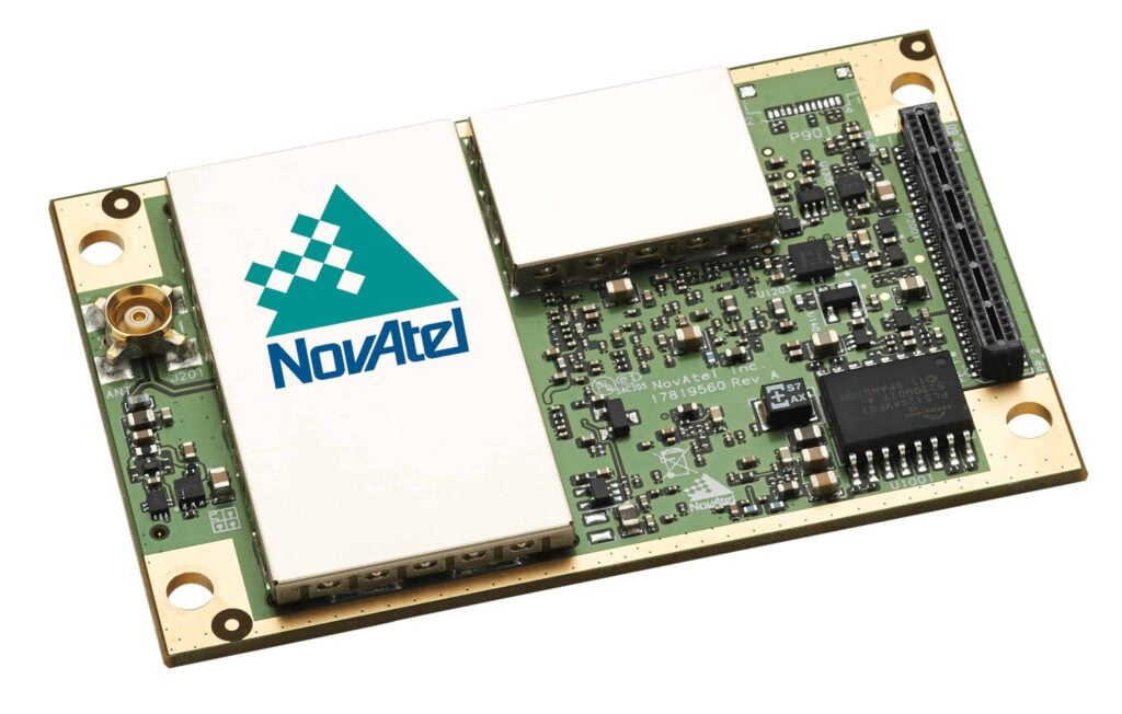
Precise Positioning for Unmanned Vehicles: GPS & GNSS Receivers, Antennas & Inertial Systems

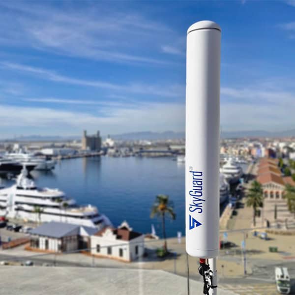
Fully Integrated Security Solutions & Surveillance Systems for Counter-UAS Applications
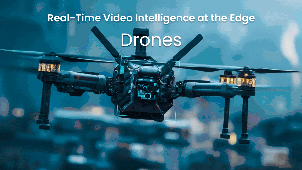
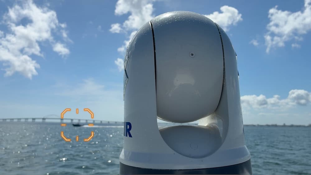
Edge AI Video Processing & Streaming Solutions Providing Real-Time Situational Awareness for Mission-Critical UAVs & Unmanned Systems

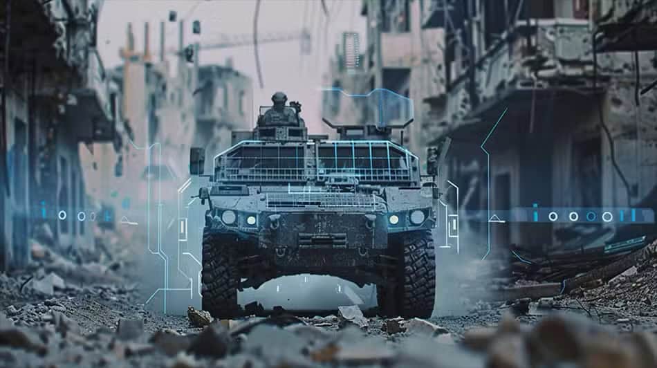
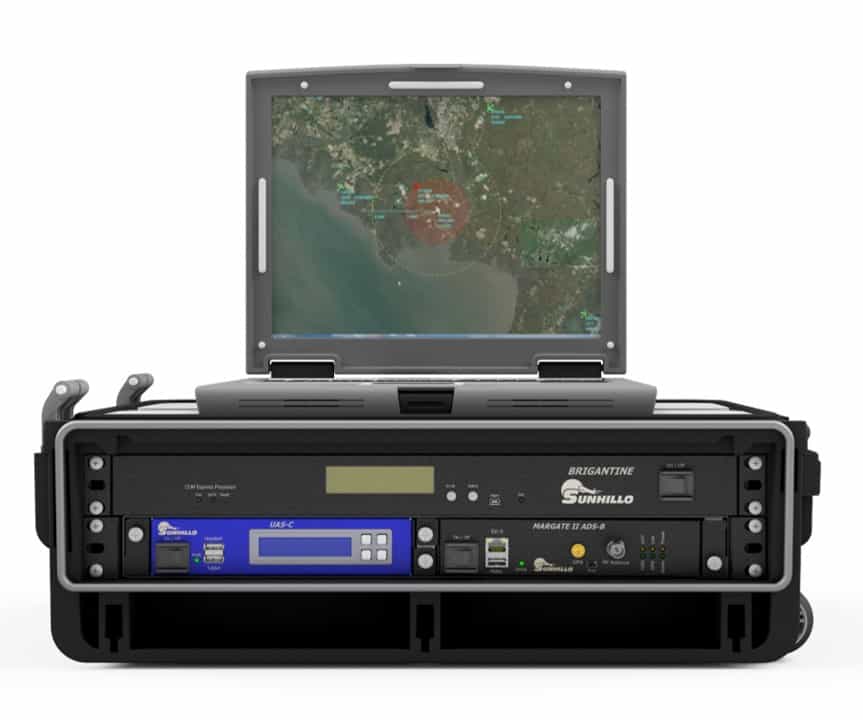
Cutting-Edge Unmanned Systems-based Sensing Solutions & Counter-UAS Systems for Military & Defense Forces
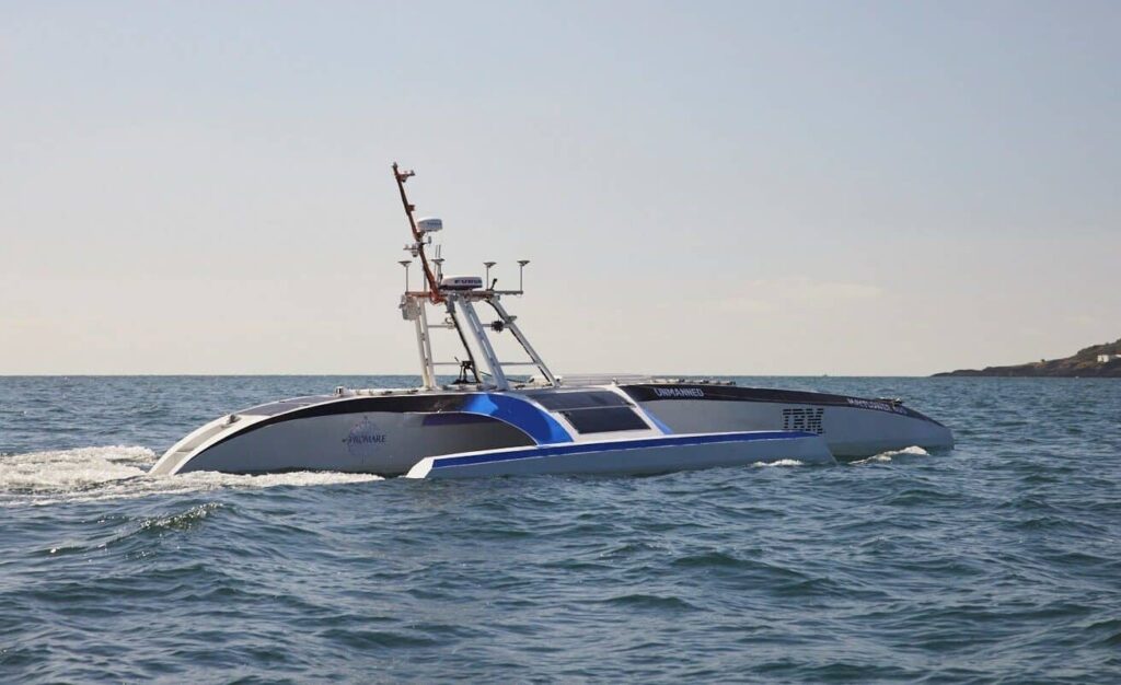
Smart Marine Radar Processing Solutions: Advanced Perception & Situational Awareness for Uncrewed & Autonomous Vessels
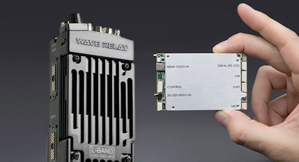
Wave Relay® MANET Technology: Ultra-Reliable Mobile Networking for Unmanned Systems
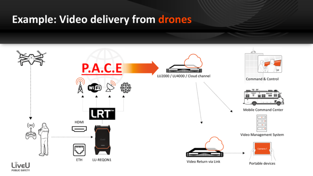
UAS Video Streaming Technology: Secure, Low-Latency, Live Video Streaming and Transmission Solutions

Geospatial Software for Real-Time Mapping, Data Visualization & Situational Awareness
Maritime Satellite Communications & Connectivity - SATCOM Terminals and Antennas
Radar Software & Sensor Processing Solutions, Maritime Radar Control, Tracking & Visualization for USV

Certified UAV Communications, Navigation, Control, Surveillance, and Combat ID Solutions

Certifiable Situational Awareness & BVLOS Solutions for Uncrewed Aircraft Systems in the Defense & Civil Industries

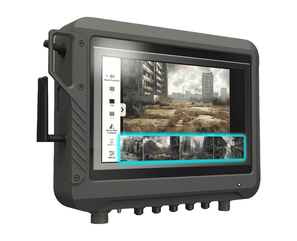
Onboard Video Processing Software and Hardware for Unmanned Systems
Comprehensive Hardware & Software Solutions for Drone Operations & Airspace Integration

Advanced Imaging & Sensor Autonomy for Time-Critical Airborne Intelligence Missions

UAV Antennas, Tracking & Video Solutions for Mission-Critical Connectivity, Real-Time Visibility, & Robust Communications
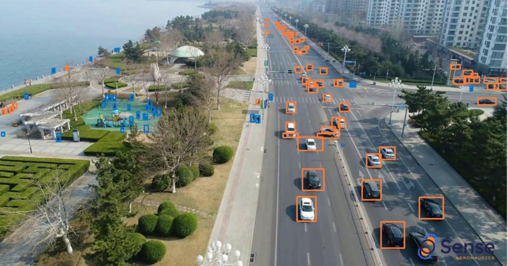
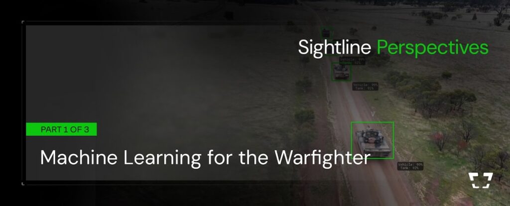
Cutting-Edge AI-powered Drone Video Analytics Solutions for Object Detection
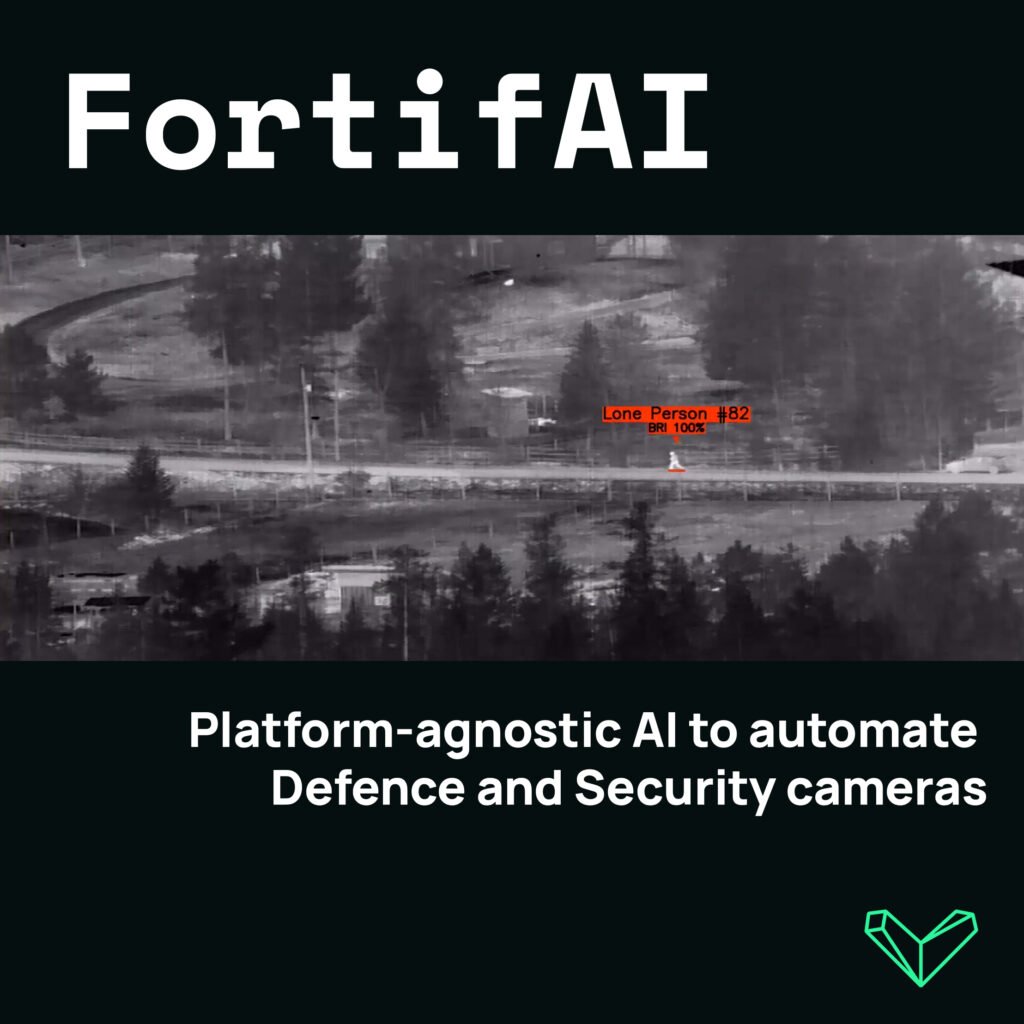
Edge-Based Visual AI Software Platform for Defence & Security Camera Automation
Radar & ADS-B Surveillance Data Fusion, Integration & Display | UAV Tracking & ATC Integration

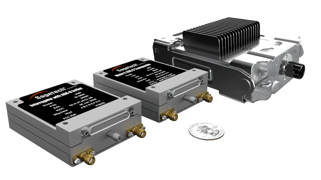
Miniature ADS-B Technology (Transceivers/Receivers) and Drone Tracking Transponders for sUAS & UTM/U-Space
If you design, build or supply Situational Awareness, create a profile to showcase your capabilities and connect with visitors who have an active requirement for your solutions.

In the rapidly advancing realm of unmanned systems, situational awareness is paramount for ensuring mission success, operational safety, and autonomous decision-making.
For drones, UAVs, UGVs, USVs, and other robotic platforms, situational awareness systems amalgamate sensor data, onboard processing, and AI to interpret complex environments in real time. These technologies empower autonomous navigation, collision avoidance, target tracking, and enhanced data collection across diverse commercial, defense, and scientific applications. This comprehensive overview delves into the technologies and innovations that underpin unmanned situational awareness, encompassing essential components like GPS, radar, LiDAR, computer vision, and more.
Global Positioning System (GPS) and other Global Navigation Satellite Systems (GNSS) are foundational to situational awareness in unmanned systems. These technologies provide precise location and timing data that support mapping, route planning, and geofencing. In UAVs and autonomous vehicles, GPS/GNSS is often integrated with real-time kinematic (RTK) corrections for enhanced accuracy, essential for tasks like precision agriculture, surveying, and automated navigation.

LiSA Situational Awareness LiDAR by Areté
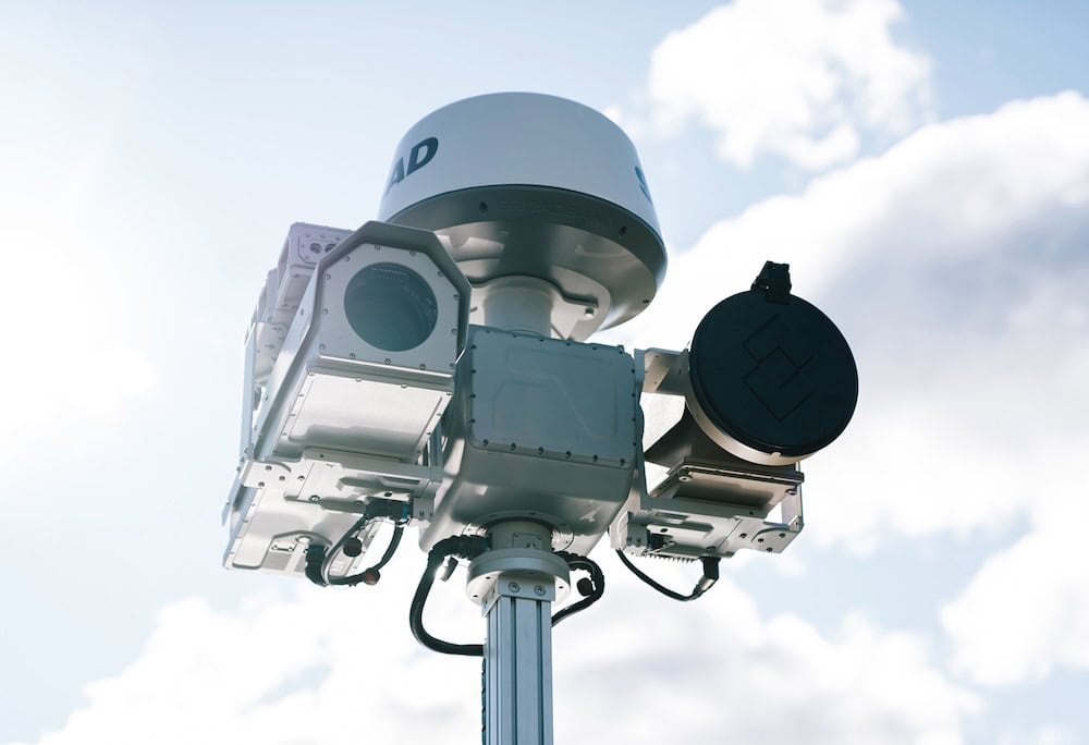
Radar systems use radio waves to detect objects and measure distance, even through fog, dust, or darkness, making them indispensable for low-visibility operations. LiDAR, light detection and ranging, employs laser pulses to generate high-resolution three-dimensional representations of the environment. These technologies allow unmanned systems to detect obstacles, assess terrain, and build detailed maps for autonomous movement and collision avoidance.
Thermal imaging and IR sensors are crucial for detecting temperature variations in the environment. In search and rescue missions, they identify heat signatures of people or animals. In firefighting and energy infrastructure inspections, they pinpoint hotspots or leaks. Their effectiveness in total darkness also supports military and law enforcement operations.
These sensors detect nearby objects by emitting signals and analyzing their reflections. Ultrasonic sensors are frequently used in tight environments such as indoor navigation or warehouse automation, where drones and ground robots must maneuver around people, shelves, or machinery. Proximity sensors also contribute to fine-tuned landing procedures and automated docking.
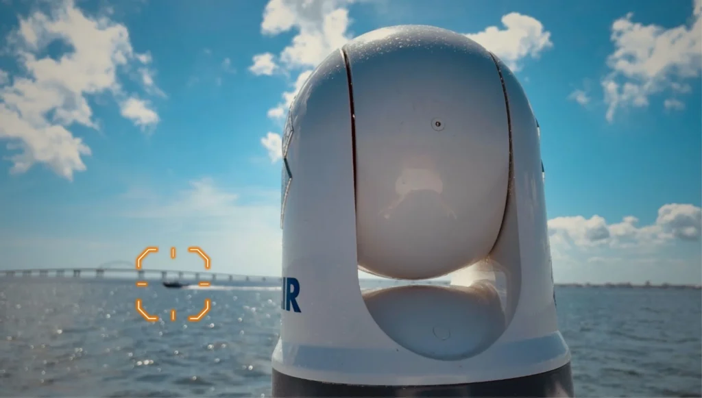
Unmanned vehicles increasingly rely on vision systems that include electro-optical (EO) and infrared (IR) cameras combined with AI-powered computer vision. These systems classify terrain, recognize patterns, track objects, and make autonomous decisions. Used in applications from surveillance to traffic monitoring, they form the perceptual core of many autonomous navigation frameworks.
IMUs integrate accelerometers, gyroscopes, and magnetometers to provide information on velocity, orientation, and gravitational forces. They are especially valuable in GPS-denied or signal-degraded environments, such as subterranean or underwater operations, where maintaining stable and reliable positioning is critical.
Autopilot systems and onboard mission computers are processing centers that interpret sensor input, execute navigation algorithms, and control flight dynamics. They integrate data from multiple sources, GPS, IMUs, cameras, and more, through sensor fusion techniques to make accurate and timely decisions during autonomous operations.
Secure and reliable communication systems are fundamental for transmitting telemetry, video, and control signals between unmanned systems and ground control stations. These modules support real-time decision-making in Beyond Visual Line of Sight (BVLOS) operations and collaborative missions involving multiple autonomous platforms.
In military operations, situational awareness technology supports applications such as tactical reconnaissance, surveillance, border patrol, and convoy escort. UAVs with radar, EO/IR cameras, and AI-powered tracking systems provide real-time intelligence and threat detection in hostile or denied environments. These platforms often operate autonomously or in swarms, sharing data through secure mesh networks to enhance mission coordination.

Casia G Airspace Surveillance System by uAvionix Corporation
For law enforcement and emergency response teams, situational awareness enables effective crowd monitoring, perimeter security, and disaster response. Public safety drones with thermal cameras and vision systems can identify suspects, locate missing persons, or assess dangerous zones during active emergencies. Fire departments use similar technologies to evaluate fire spread and direct resources efficiently.
In commercial sectors, situational awareness ensures safe and efficient autonomous operations. Drones performing infrastructure inspections, mapping, or surveying rely on GPS, LiDAR, and computer vision to avoid obstacles, maintain accurate flight paths, and collect high-quality data. In logistics, it underpins autonomous drone delivery services by enabling navigation in urban environments and around obstacles.
Situational awareness systems play a vital role in locating and assisting search and rescue missions. Thermal imaging, GPS mapping, and AI-enhanced object recognition allow drones to search vast areas quickly and accurately, even in low-light or low-visibility conditions. These tools help first responders prioritize efforts and improve survival outcomes.
In environmental sciences, environmental monitoring drones with LiDAR, vision systems, and environmental sensors monitor deforestation, track wildlife, and measure pollution. For infrastructure monitoring, such as bridges, pipelines, or power lines, situational awareness technologies ensure precise data acquisition while preventing accidents or collisions with structures.
Precision agriculture benefits significantly from situational awareness systems. UAVs with GNSS, multispectral imaging, and terrain-aware navigation help monitor crop health, optimize irrigation, and manage resources. These drones can autonomously navigate fields, avoiding obstacles like trees or equipment, while gathering actionable insights for farm management.
In the emerging field of urban air mobility (UAM), situational awareness enables safe coordination among autonomous aerial vehicles operating in shared airspace. Through technologies like ADS-B receivers, computer vision, and real-time communication systems, unmanned aircraft can detect and avoid one another, maintain safe distances from manned flights, and comply with air traffic regulations.

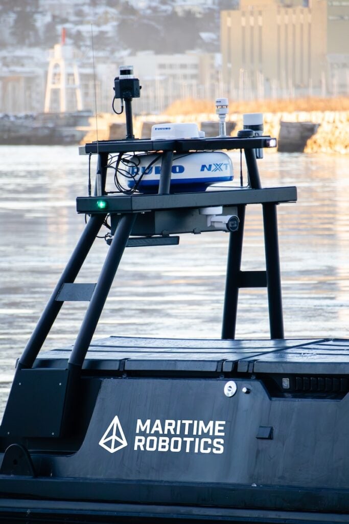
SeaSight Situational Awareness & Collision Avoidance Suite for USVs by Maritime Robotics
One of the most transformative trends in situational awareness is sensor fusion, where data from multiple sources, radar, LiDAR, GPS, vision systems, and more, are combined to form a unified perception model. This improves decision-making accuracy and reduces the limitations of individual sensors. Technologies like SLAM (Simultaneous Localization and Mapping) enable drones to map unknown environments in real time while keeping track of their position, even without GPS.
Automatic Dependent Surveillance-Broadcast (ADS-B) is enhancing airspace integration by allowing drones to track manned aircraft and share their location data. Additionally, incorporating neural network processors and edge AI enables onboard systems to analyze data faster and adapt to changing environments dynamically. These processors support functions like predictive obstacle avoidance and target re-identification.
Unmanned platforms also incorporate environmental sensors, such as barometers, weather sensors, and gas detectors, that allow them to adapt their behavior to atmospheric conditions or detect hazards. Drone cybersecurity and secure communication protocols are growing concerns as unmanned systems become more connected and mission-critical.
By integrating radar, GPS, LiDAR, vision systems, and intelligent algorithms, drones and unmanned vehicles gain the capacity to understand and adapt to their surroundings in real time. Whether in combat, humanitarian response, infrastructure inspection, or commercial delivery, these systems enhance both safety and effectiveness. As technology advances, situational awareness will become increasingly intelligent, predictive, and indispensable to the success of unmanned missions.

 Searching Companies & Products


 Subscribe to the Weekly eBrief
The latest engineering and technical developments straight to your inbox - join thousands of engineers who receive it.
Subscribe to the Weekly eBrief
The latest engineering and technical developments straight to your inbox - join thousands of engineers who receive it.