Find Search and Rescue Drone Manufacturers; SAR Drones, search and rescue UAVs, first responder drones, lifeguard drones, as well as quadcopters, unmanned helicopters and autonomous boats used for SAR operations.
If you design, build or supply Search and Rescue Drones, create a profile to showcase your capabilities and connect with visitors who have an active requirement for your solutions.
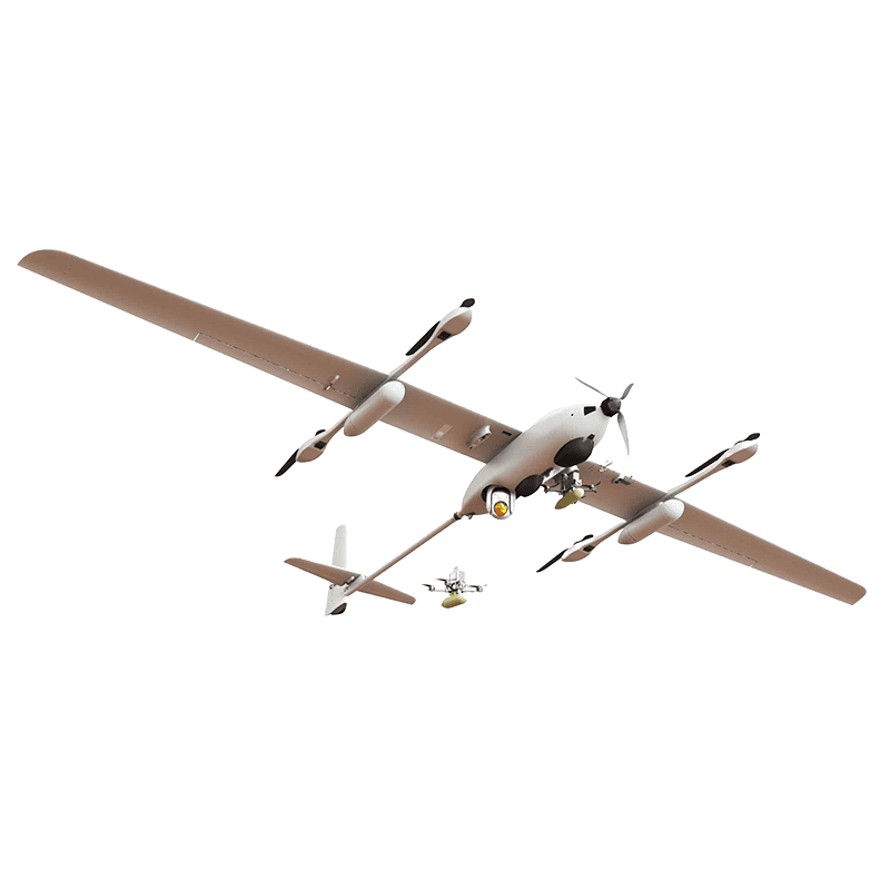
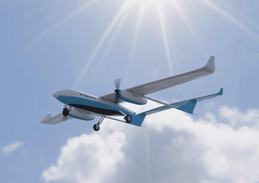
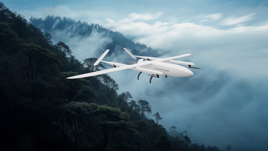
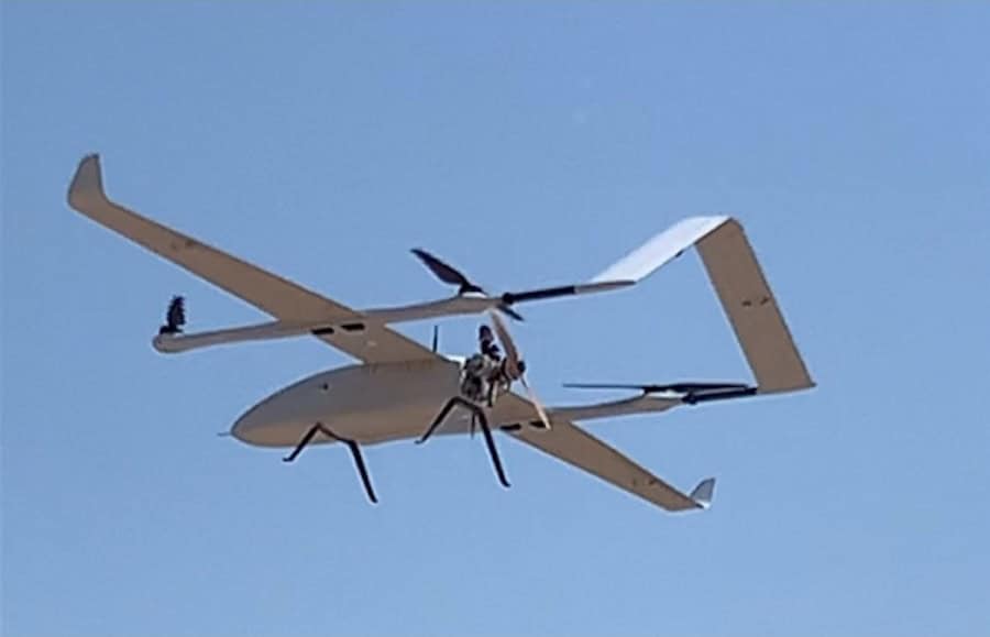
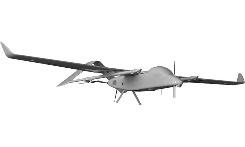
Miniature hybrid VTOL fixed-wing UAS with 1.5 kg payload capacity
Miniature hybrid VTOL fixed-wing UAS with 1.5 kg payload capacity
......ding missions, including ISTAR, border protection, artillery support, search and rescue, and... ... of multirotor drones. Providing a mission endurance of up to 3 hours, it can be operated by a...
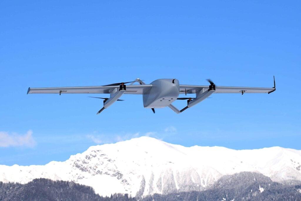
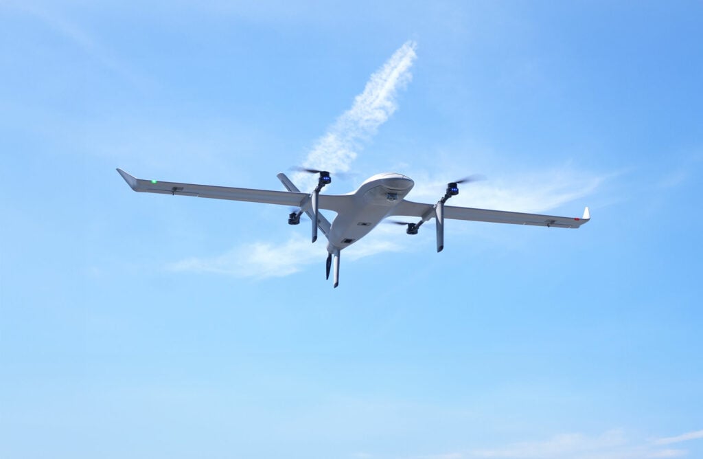
Hydrogen fuel cell-powered hybrid VTOL UAS with up to 6 hours of mission endurance
Hydrogen fuel cell-powered hybrid VTOL UAS with up to 6 hours of mission endurance
......ding missions, including ISTAR, border protection, artillery support, search and rescue, and... ... of multirotor drones. Equipped with a state-of-the-art hydrogen fuel cell for enhanced mission...
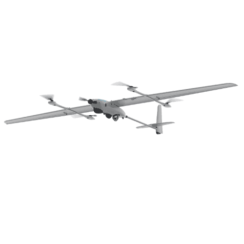
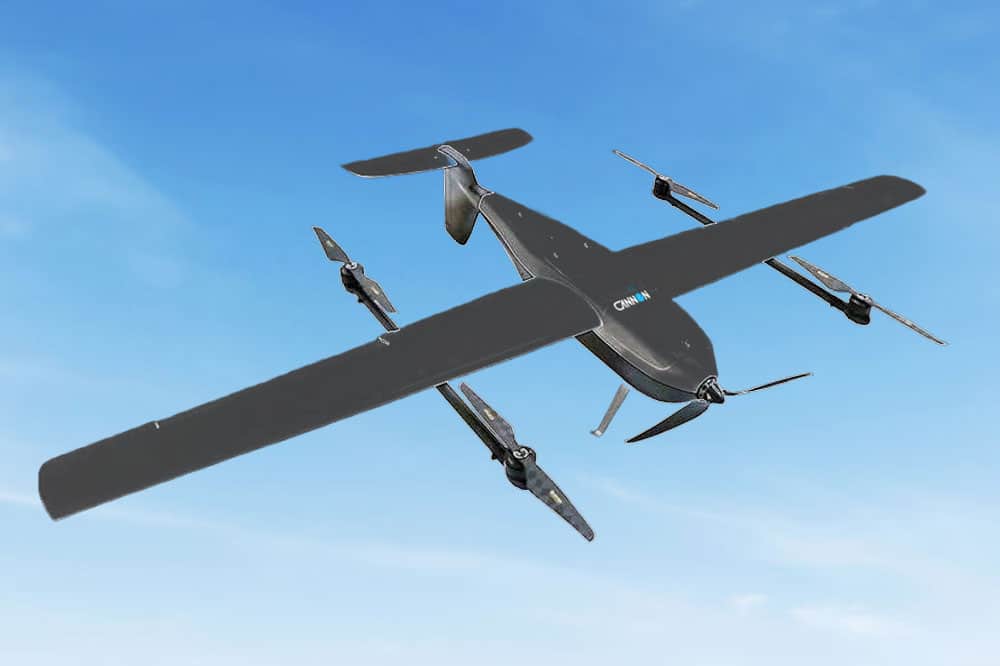
Versatile hybrid VTOL fixed-wing UAV with 12-hour endurance
Versatile hybrid VTOL fixed-wing UAV with 12-hour endurance
......ding missions, including ISTAR, border protection, artillery support, search and rescue, and... ... of multirotor drones. With a flight time of up to 12 hours and robust weatherproofing, it can cover...
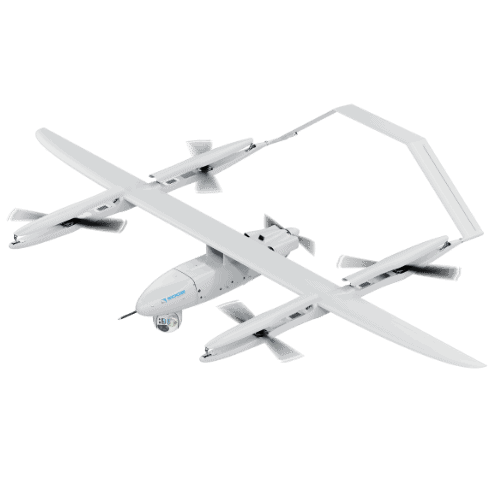
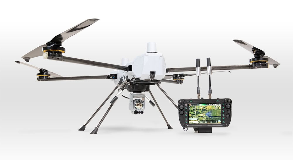
Versatile hybrid power heavy-payload drone for industrial & public safety applications
Versatile hybrid power heavy-payload drone for industrial & public safety applications
...public safety, search and rescue, disaster response, environmental monitoring, and more. It can... ...d conventional drones. The UAV platform design is based on several thousand hours of operational...
... surveillance, search and rescue, package delivery, and emergency response. Its adaptable design... ...P-1 long range drone is a production-ready, electric-powered unmanned aircraft system designed for...
Modular-propulsion long-range drone for monitoring & surveillance
Modular-propulsion long-range drone for monitoring & surveillance
...long-endurance drone designed with a modular propulsion system supporting both electric and internal... ...isted survivor search, agricultural survey of large fields, long-distance border and perimeter...
Search and rescue (SAR) drones assist in the location of people in distress or potential danger, or vessels that may be lost at sea or unable to manoeuvre. SAR drones and lifeguard drones may be deployed in the aftermath of a disaster, or to search vast or difficult terrain such as wilderness and mountainous regions.
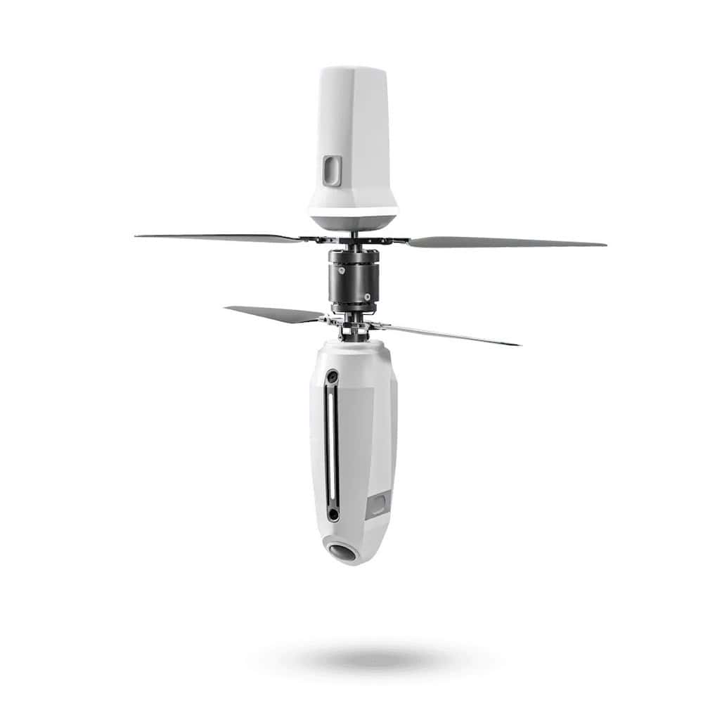
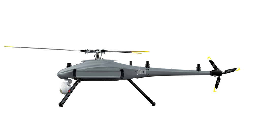
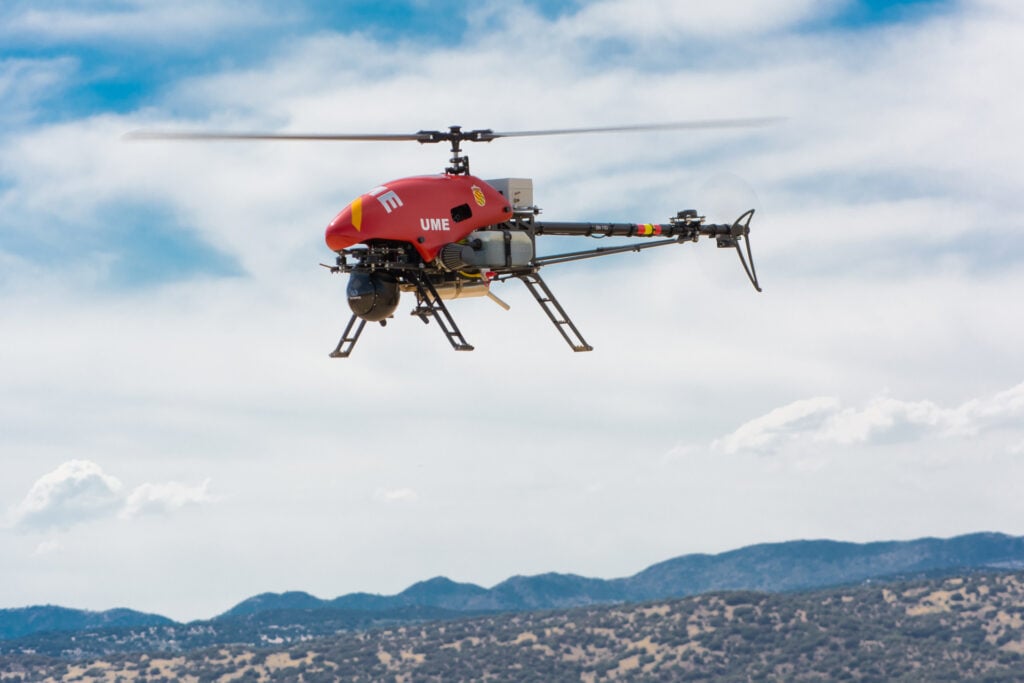
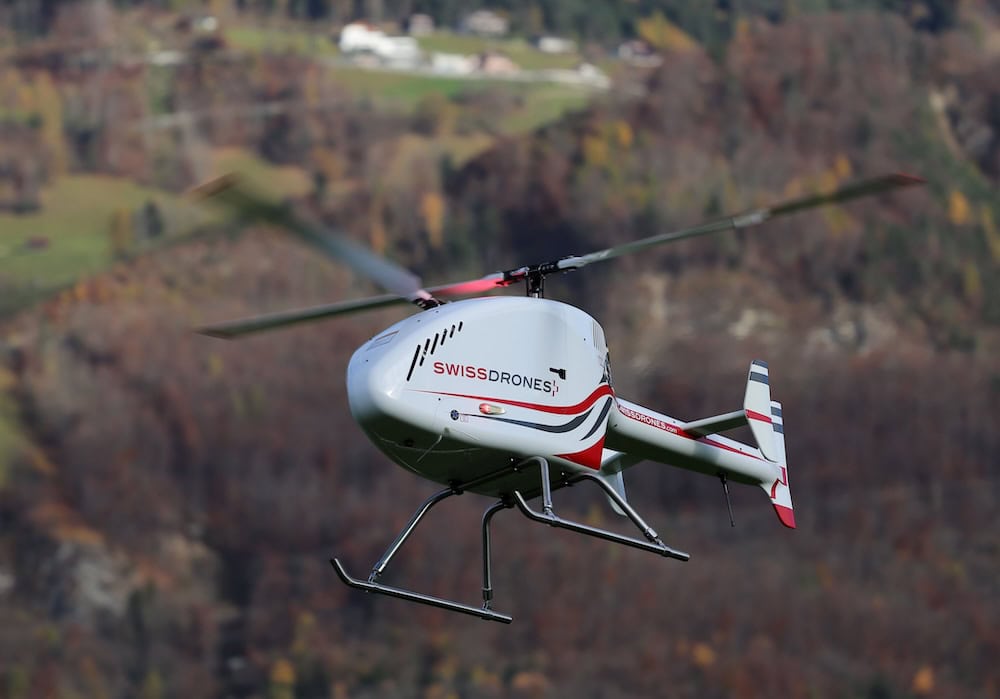
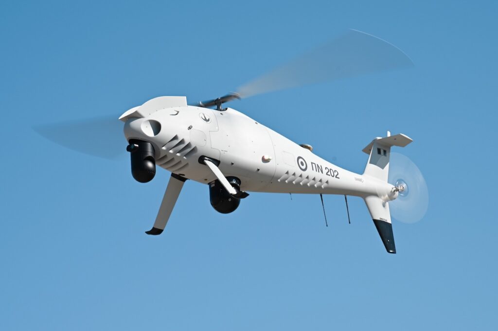
SDO 50 Helicopter UAV for Search & Rescue by SwissDrones
The use of SAR drones for search and rescue mission is typically much less costly than helicopters or manned aircraft, which can be more expensive to run and slower to deploy. Search and rescue UAVs are relatively quick and easy to deploy in situations when time is of the essence, and allow first responders to keep out of harm’s way. In addition to locating missing persons, they can also be used to identify potential hazards in the search area before a ground team is sent in.
Search and Rescue Drone Platforms
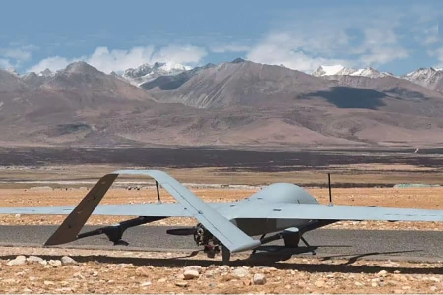
Search and rescue unmanned aerial vehicles; fixed-wing UAVs, quadcopters, multirotors and unmanned helicopters, have different advantages and disadvantages when carrying out search and rescue missions. Fixed-wing search and rescue UAVs can generally fly faster and operate at higher altitudes than search and rescue quadcopters and multirotors. Due to being more efficient, they can operate for longer and thus have greater range.
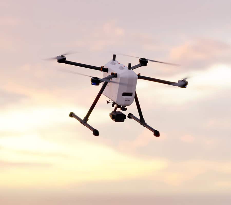
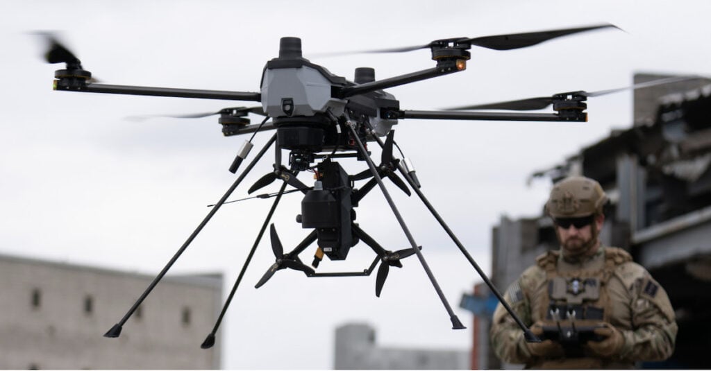
Multirotor UAVs and unmanned helicopters have vertical take-off and landing (VTOL) capabilities and can be launched from a much more restricted area, with no need for a runway or launch mechanism such as a catapult. Multirotor SAR drones are more manoeuvrable than fixed-wing platforms, and can hover in place to provide a highly stable imaging platform.
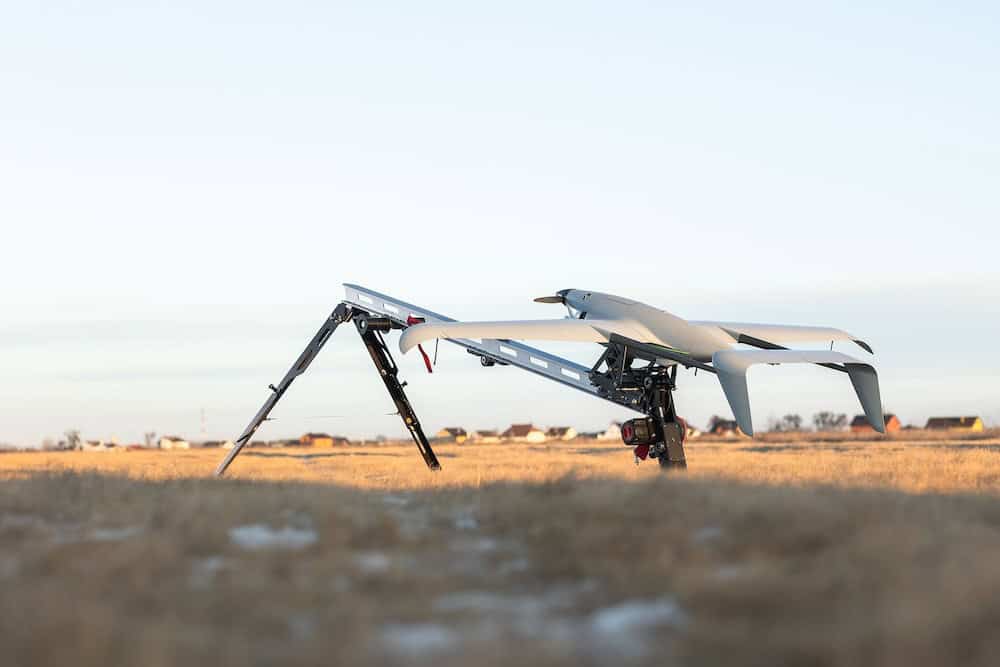
Hybrid VTOL UAV platforms take off using rotors and then transition to forward flight. This gives hybrid VTOL search and rescue drones the small operational footprint advantages of a multirotor SAR drone, as well as the extended range and coverage of a fixed-wing search and rescue UAV.
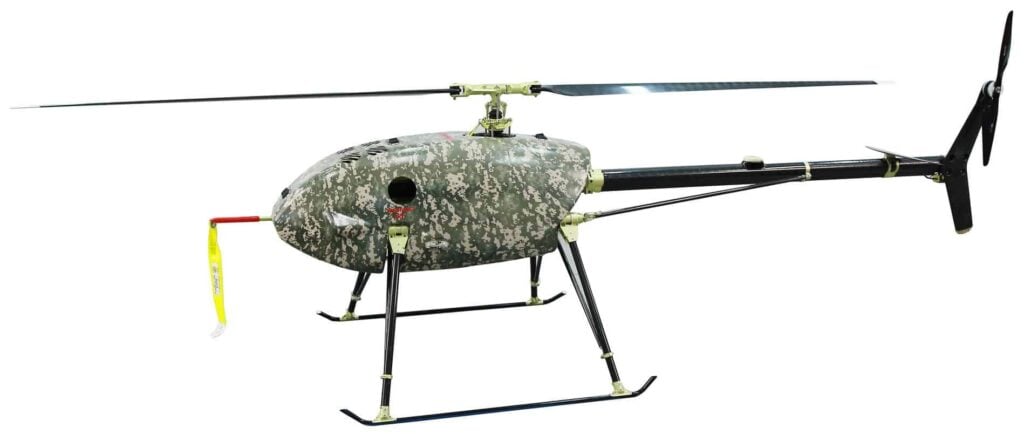
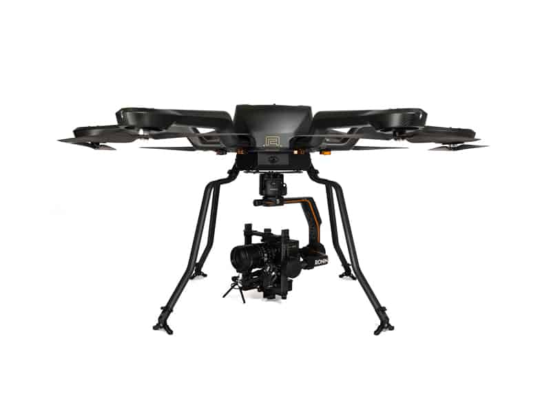
Alpha 800 UAV Helicopter by Alpha Unmanned Systems
SAR Drone Capabilities
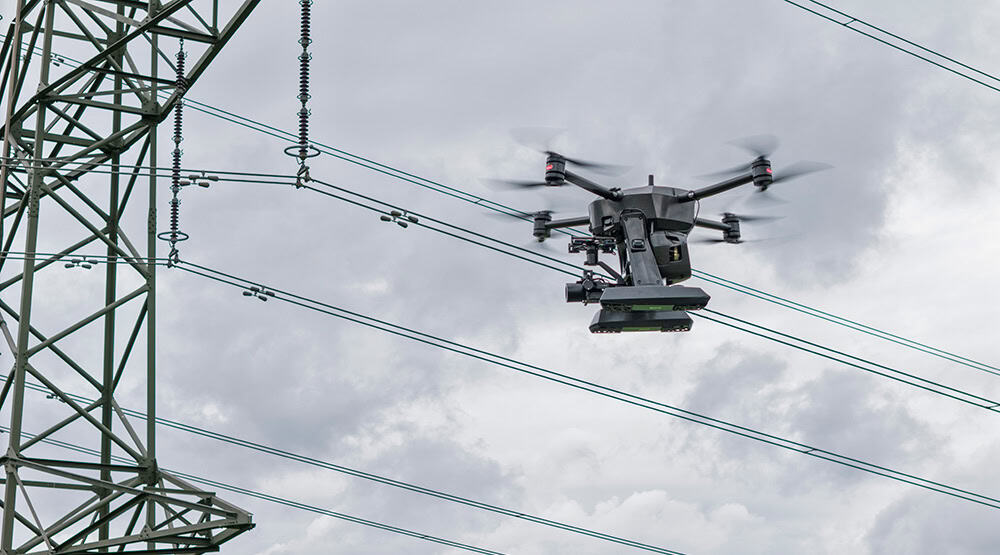
Drones used in SAR environments may require some form of built-in sense-and-avoid capabilities, in order to reduce the risk of collisions with objects such as trees, power lines and helicopters. This is especially true of UAVs that operate autonomously, which may be required in mountainous or urban regions or other areas that may make it difficult to maintain radio links.
When operating in such regions, or in terrain or stretches of water that cover vast areas, SAR drones may also need to operate beyond visual line of sight (BVLOS).
BVT516 (VTOne) Hybrid VTOL UAV by Beyond Vision
Search and Rescue UAV Control and Payloads
Search and rescue UAVs may be controlled via a handheld ground control station on a device such as a mobile phone, laptop or tablet, or via a fixed operations centre. The drone control software may provide direct remote control, as well as waypoint setting and search area selection functionality in order for users to create exhaustive search patterns. Live feeds of the drone’s payloads may also be monitored via the software.
SAR drones may carry a variety of payloads, including thermal and visual cameras, mobile phone detection systems, and devices that can drop essential items such as radios, food and water, medicine and life preservers.
In addition to live video feeds, still imagery is also useful in search and rescue missions, as the resolution of RGB photography cameras is generally much higher than that of video cameras. Images can be sent back to the ground control station in order to create maps of the terrain that are based on up-to-the-minute intelligence. Maps created using precise geospatial analysis software can be integrated with algorithms that indicate high-probability search areas based on the target’s last known location and direction of travel.
Following acceptance tests at Kotroni Helicopter Base, the Hellenic Navy is set to deploy new CAMCOPTER S-100 unmanned systems to enhance maritime security and search and rescue capabilities
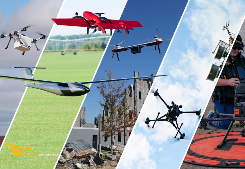
Volatus Aerospace and UTech Jamaica launch a structured drone training program to support disaster response, public safety, and infrastructure applications while expanding workforce development across the Caribbean
ALTUS LSA is developing unmanned aerial vehicles for disaster-zone operations through its involvement in the FORESIGHT and PANTHEON collaborative projects, supporting aerial missions in high-risk environments
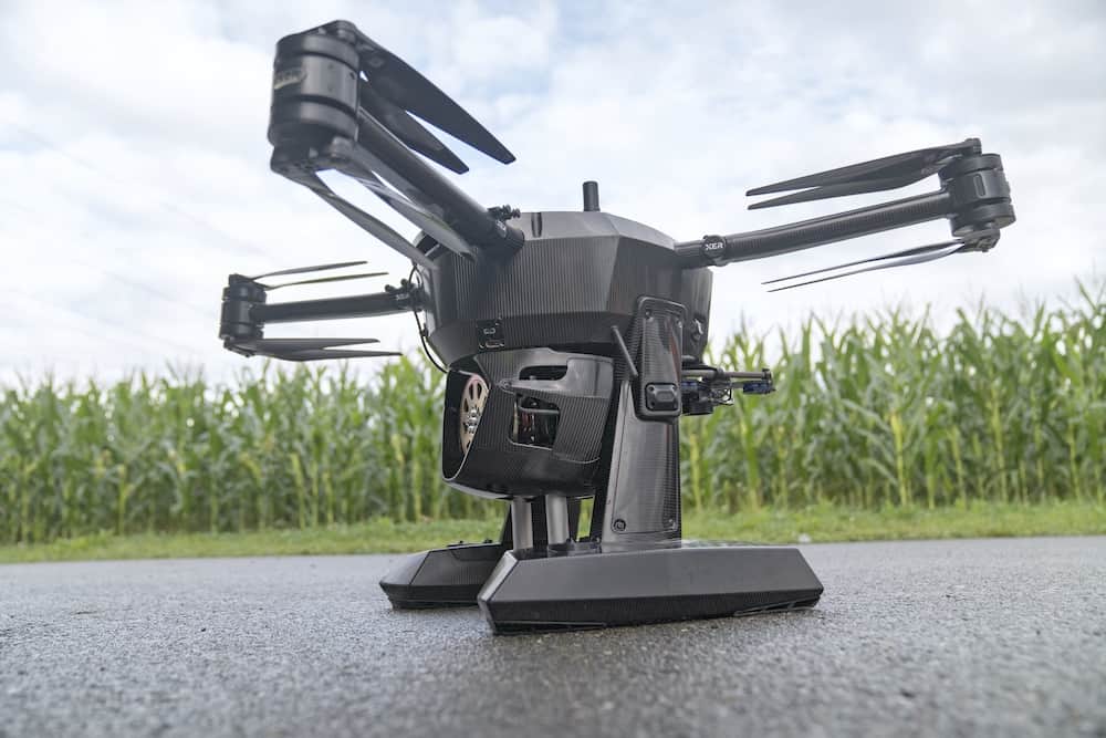
Xer Tech’s X8 drone platform has secured national beyond visual line of sight operational approvals in Switzerland and Hungary, validating its technical maturity and enabling advanced commercial drone operations across key European markets
Zephyr has released version 1.10.7 of its drone simulator, introducing a new SAR Mountain training scenario, expanded SAR Fundamentals modules, an experimental Return to Home feature, and key stability improvements
The Federal Communications Commission has updated its Covered List to include foreign-produced unmanned aircraft systems and critical components following a national security determination to protect domestic airspace and industrial resilience
The first sale of the SDO 50 V3 in Japan aims to bolster regional emergency frameworks and logistics through the Regional Collaboration & Future Hybrid Logistics Council
CENTUM’s Lifeseeker Mini system has been integrated onto a fixed-wing VTOL UAV, expanding search and rescue and public safety capabilities through airborne mobile phone geolocation in complex operational environments
Dec 16, 2025
Advancing Unmanned Systems Through Strategic Collaboration
UST works with major OEMs to foster collaboration and increase engagement with SMEs, to accelerate innovation and drive unmanned systems capabilities forward.