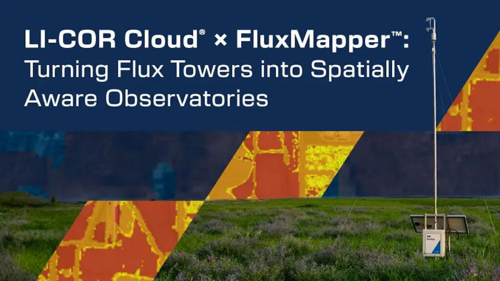
Dr. Stefan Metzger, Founder and CEO of AtmoFacts, presents this LI-COR webinar introducing a next-generation capability within LI-COR Cloud®: FluxMapper™, the spatial engine that transforms flux tower data into high-resolution FluxMaps™.
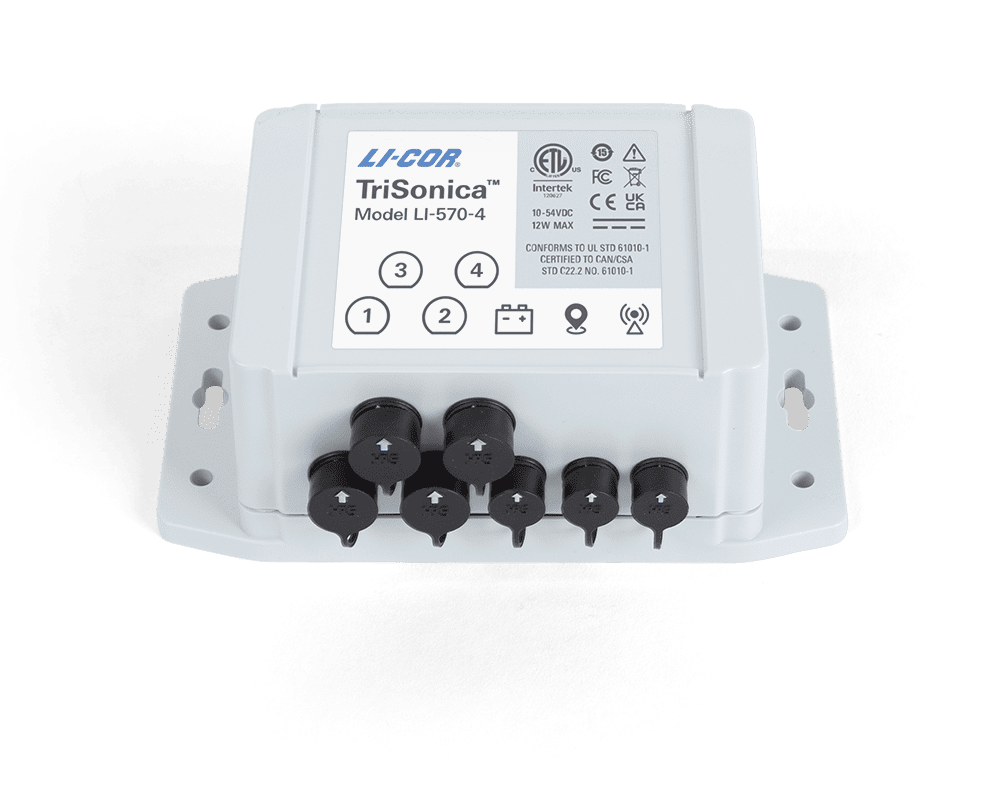
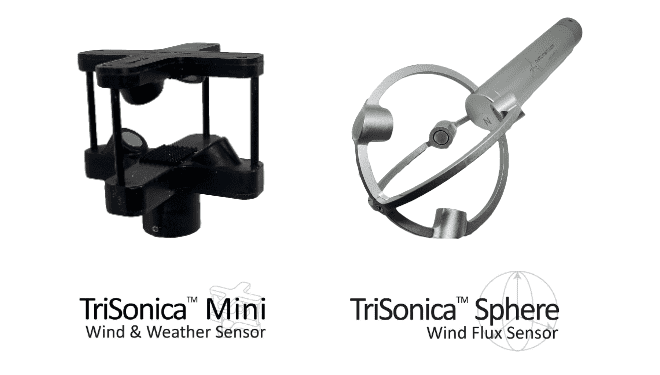
Eddy-covariance towers provide direct measurements of ecosystem exchange and are traditionally point-based instruments. The session explains how FluxMapper™ generates high-resolution FluxMaps™ by spatially resolving eddy-covariance measurements into ~90,000 virtual sensors, modeled spatial grid cells derived from a single flux tower.
The webinar covers:
- How FluxMapper™ reveals where heat, water, and carbon fluxes originate across heterogeneous landscapes
- The creation of spatially explicit, audit-ready layers that enable attribution to land management decisions, ownership boundaries, and project interventions
- Integration within LI-COR Cloud®, including user access, data ingestion, automated processing, and interactive map visualization
- Real-world examples illustrating how spatial attribution compares to footprint-aggregated fluxes
Whether you operate flux towers, develop MRV systems, manage land resources, or calibrate models and remote-sensing products, this webinar outlines how LI-COR and AtmoFacts combine flux measurements with spatial analytics to expand what can be derived from a single flux tower within LI-COR Cloud®.