Drone as a Service by ZenaDrone outlines the differences between DIY drone mapping workflows and professional drone 3D scanning services, focusing on how accuracy requirements influence project decisions in construction, engineering, and infrastructure environments.
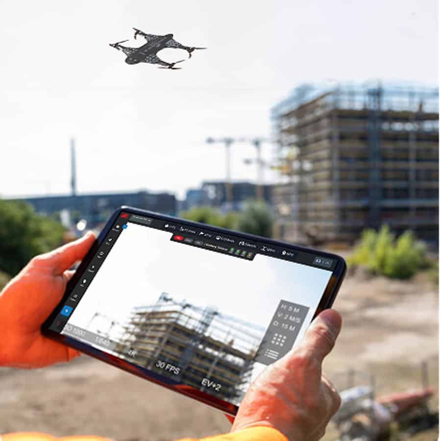
The article explains that while consumer drone mapping platforms are often used for visualization and site awareness, professional workflows are designed to support applications that require validated spatial data.
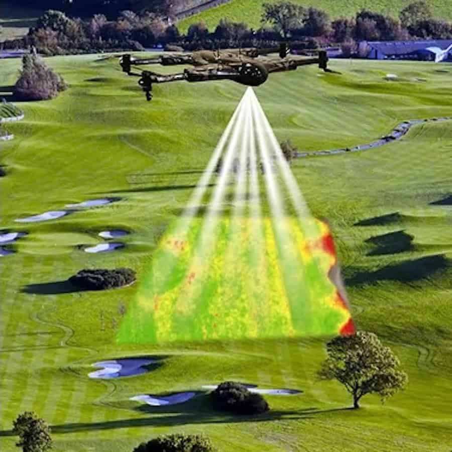
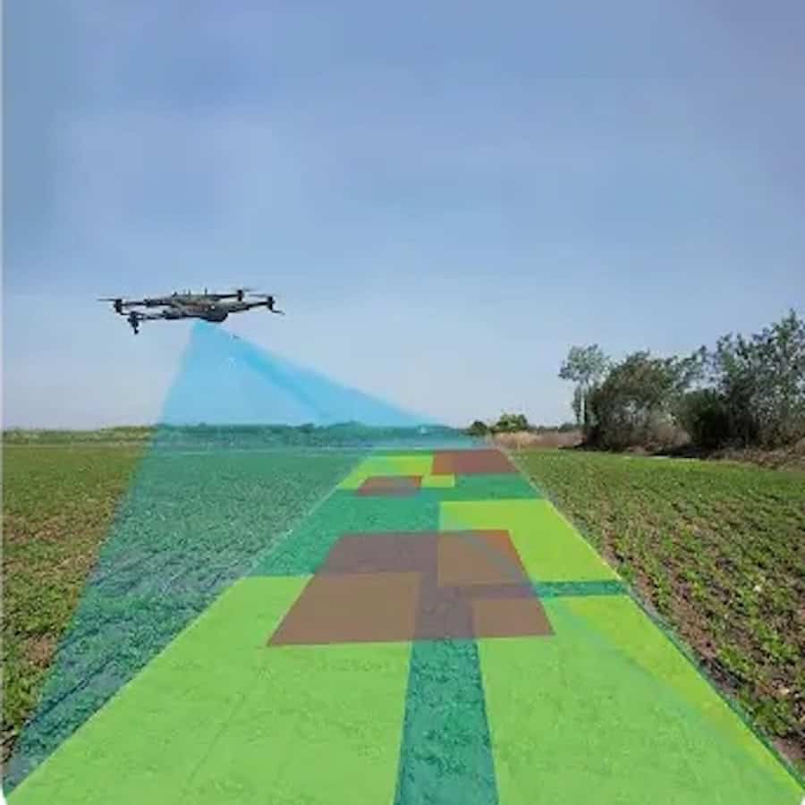
The article discusses how professional drone 3D scanning services use structured survey methodologies that may include RTK or PPK positioning systems, Ground Control Points (GCPs), calibrated sensors, and independent checkpoints to verify positional accuracy. It also highlights the distinction between relative and absolute accuracy, particularly for projects involving terrain models, volume calculations, and construction alignment.
ZenaDrone also examines the role of liability, compliance, and project risk when drone-derived data is used for engineering decisions, contractual processes, or financial calculations. The article notes that professional workflows commonly include flight planning, aerial and ground data collection, photogrammetry processing, validation procedures, and formatted data delivery.
To learn more about when professional drone 3D scanning services may be required and how validated aerial survey workflows are used across industrial projects, visit the ZenaDrone website.