Blue Nose Aerial Imaging is a veteran-founded nationwide drone services network delivering precision aerial imaging, data collection, and analytics across key sectors, including construction, energy, agriculture, real estate, and infrastructure, throughout the United States.
As a continued partner, UST is highlighting the company’s unique solutions via the Blue Nose Aerial Imaging supplier profile. The company combines local expertise with enterprise-grade standardization, offering clients consistent quality, FAA-compliant operations, and scalable drone solutions for projects of any size.
Read on to find out more:
Leveraging advanced photogrammetry, thermal, and LiDAR technologies, Blue Nose Aerial Imaging transforms aerial data into actionable insights that drive smarter decisions, safer worksites, and measurable cost savings. Specialist services include:
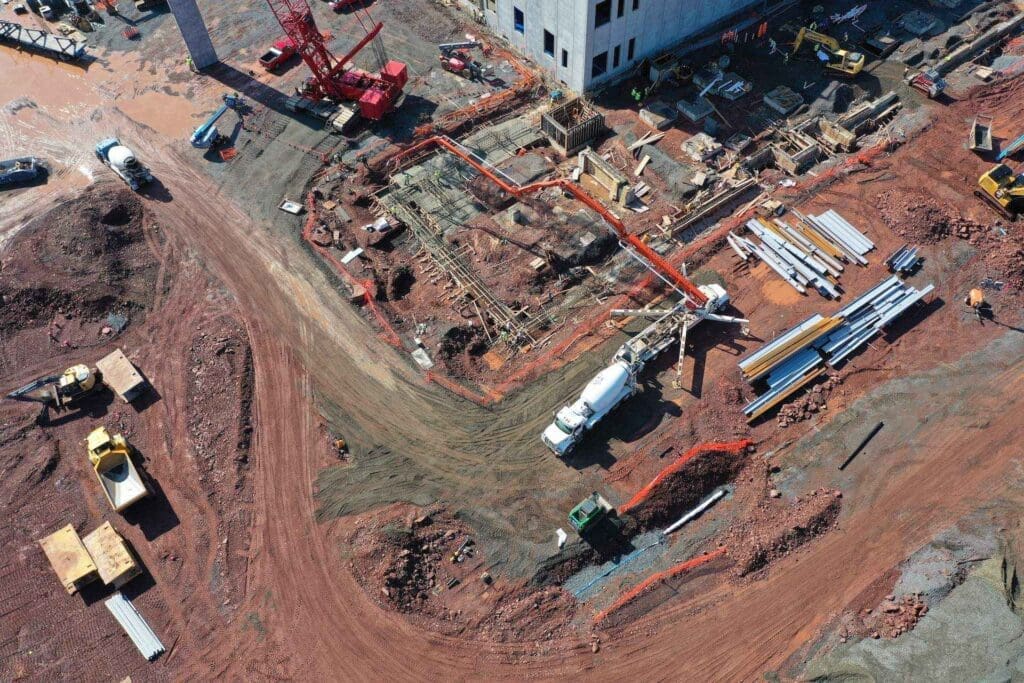
Construction

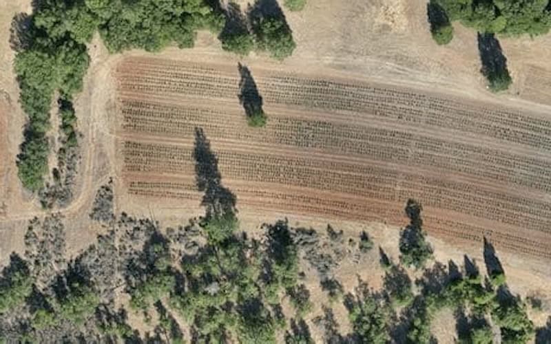
Precision Agriculture

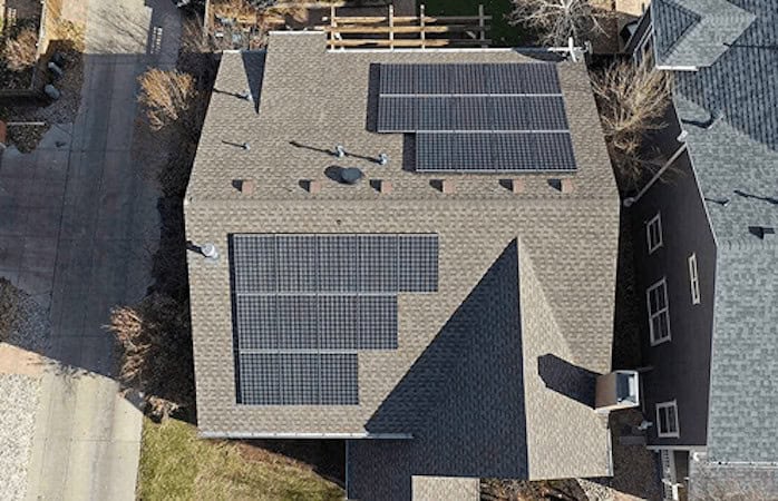
Solar Inspection
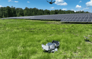 Blue Nose drone inspections of solar farms use thermal and high-resolution imaging to detect defects, hotspots, and shading losses. With automated and efficient operations, these services minimize downtime and support operational resilience and performance optimization.
Utilities & Infrastructure Inspection

Mapping & Surveying


Additionally, Blue Nose has developed a practical, easy-to-follow training course designed for both new and aspiring commercial drone pilots.
This training blends real-world experience with clear, actionable lessons. Whether you’re preparing to operate commercially, looking to strengthen your safety knowledge, or simply want confidence in your flying, this course gives you the foundation you need to fly responsibly, legally, and professionally.
To find out more about Blue Nose Aerial Imaging’s drone services, visit the company’s profile page:
https://www.unmannedsystemstechnology.com/company/blue-nose-aerial-imaging/