


Drone Aerial Imaging Services for Mapping & Surveying
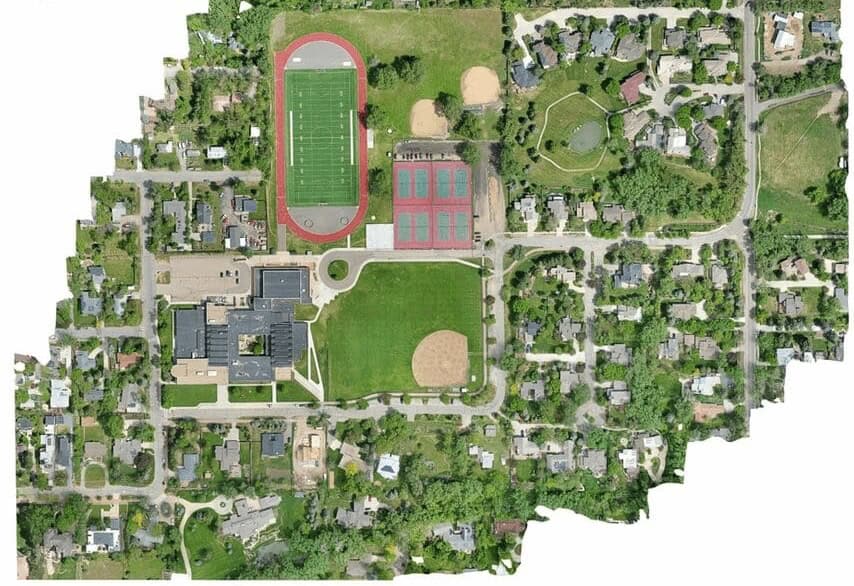
Blue Nose Aerial Imaging provides drone imaging services to suit the requirements of a wide range of mapping and surveying requirements, ideal for engineering, construction planning, geospatial and environmental projects, and more.
The data gathered can be used to create high-accuracy deliverables such as orthorectified maps, point clouds, digital surface models (DSMs), and volumetric analyses, with lower cost and faster turnaround than conventional methods such as ground-based surveying.


