Blue Nose Aerial Imaging highlights how drone surveying has become an essential capability across modern surveying and mapping operations, delivering faster, safer, and more data-rich results than traditional methods.
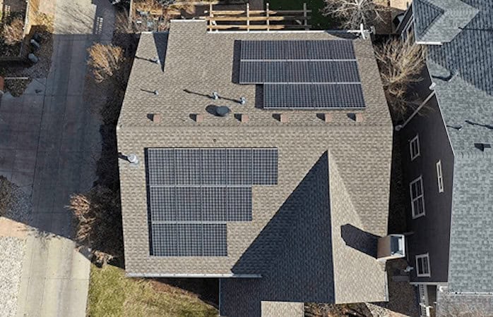
Using advanced unmanned aerial systems, surveyors can capture high-resolution data from above to support applications such as land surveys, topographic analysis, 3D mapping, and photogrammetry.
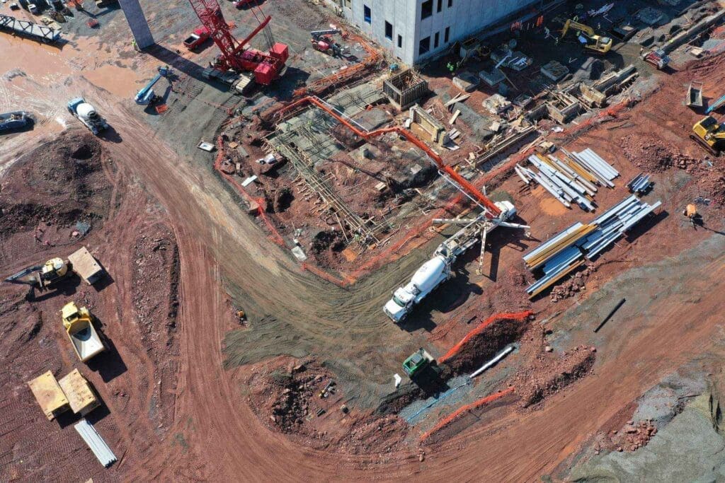
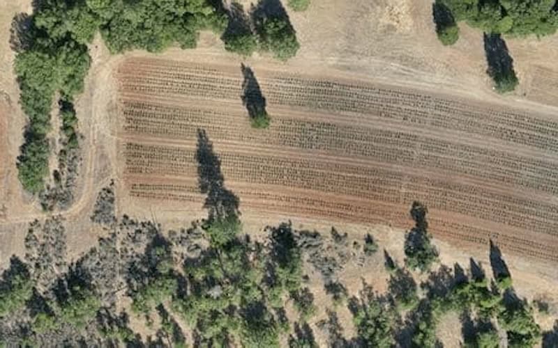
Unlike standard aerial photography, drone surveying is a precise discipline that measures distances and positional relationships in both 2D and 3D space. This accuracy enables informed decision-making for construction planning, infrastructure design and maintenance, asset inspection, and property boundary definition. Drones typically fly with downward-facing RGB, multispectral, or LiDAR sensors, capturing large datasets that are processed through Geographic Information Systems (GIS) to produce actionable intelligence in near real time.
Both fixed-wing and multirotor drones are used, with fixed-wing platforms favored for large-area coverage due to longer endurance. When equipped with high-resolution cameras, drones can deliver centimeter-level accuracy, though results depend on factors such as sensor quality, altitude, and ground conditions. Typical outputs include orthomosaic maps, 3D models, LiDAR point clouds, thermal imagery, and multispectral datasets, supporting sectors from agriculture to defense.
By integrating drone technology, surveyors can significantly improve efficiency, safety, and return on investment, expanding what is possible in modern surveying workflows.