Blue Nose Aerial Imaging explains the fundamentals of drone mapping, outlining how key deliverables such as orthomosaics, digital elevation models, and 3D outputs support informed decision-making across a range of applications. Read more >>

Drone mapping involves flying a small unmanned aircraft to capture overlapping aerial imagery, which is processed using photogrammetry software to correct lens distortions and align images with precise ground coordinates. This produces georeferenced datasets with centimeter-level resolution and accuracy, particularly when supported by GNSS receivers and ground control points, providing a flexible and high-detail alternative to satellite imagery.
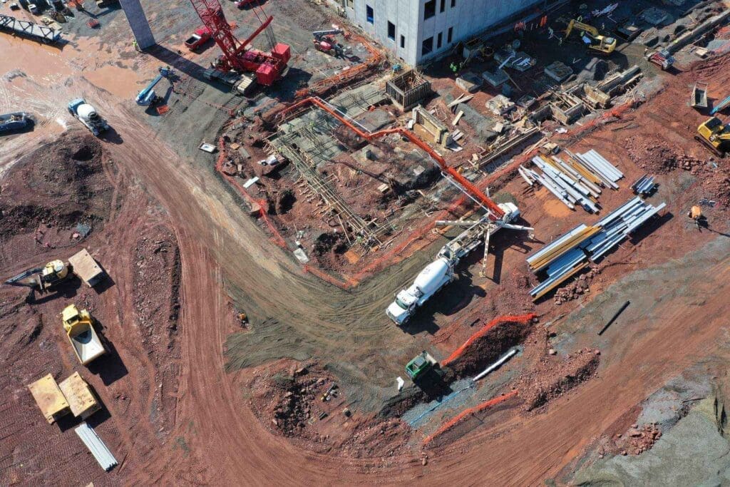
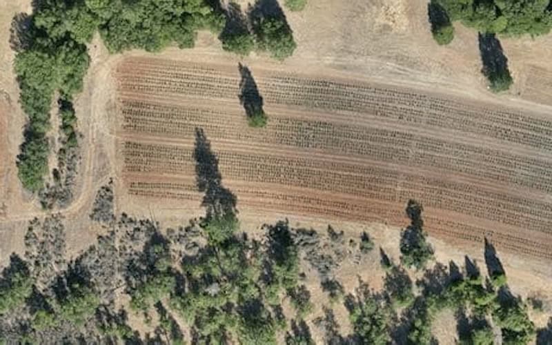
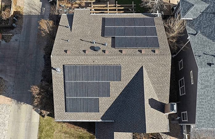
Orthomosaics are geometrically corrected composite maps that allow for precise measurement and analysis, enabling users to inspect small features and overlay GIS layers for deeper insight. Digital Surface Models (DSM) include all visible features such as buildings and vegetation and are used to represent surface conditions.
Digital Elevation Models (DEM) represent bare earth terrain and are used for slope assessment, drainage evaluation, and earthworks planning. 3D textured models, created through image triangulation, provide realistic digital representations of sites that support inspection, coordination, and visualization tasks, and can also be used to generate point clouds.
LiDAR is presented as a complementary technology that enhances mapping capabilities, particularly in areas with dense vegetation or limited visual texture. By capturing dense point clouds through laser pulses, LiDAR systems generate accurate elevation data and terrain models.
Integrated systems such as DJI’s Zenmuse L2 combine LiDAR with an Inertial Measurement Unit (IMU) and camera, delivering up to 240,000 points per second and achieving horizontal and vertical accuracies of 5 cm and 4 cm at a range of 150 m. Combining photogrammetry and LiDAR enables the creation of detailed, texture-rich outputs with survey-grade precision.
Accurate results depend on maintaining strong image overlap of 70-80% or higher, consistent flight patterns and altitude, and the use of RTK or PPK GNSS corrections. Environmental conditions such as lighting and wind, along with proper sensor calibration and structured data processing workflows, also play a critical role.
Blue Nose Aerial Imaging’s capabilities include volumetric analysis, topographic and 3D modeling, thermal and multispectral imaging, and comprehensive reporting. For example, the company mapped five university campuses totaling approximately 200 acres within four days, supporting efficient visualization, planning, and stakeholder communication.
Read ‘Drone Mapping Fundamentals: Orthomosaics, Elevation Models & 3D Deliverables’ to find out more information.