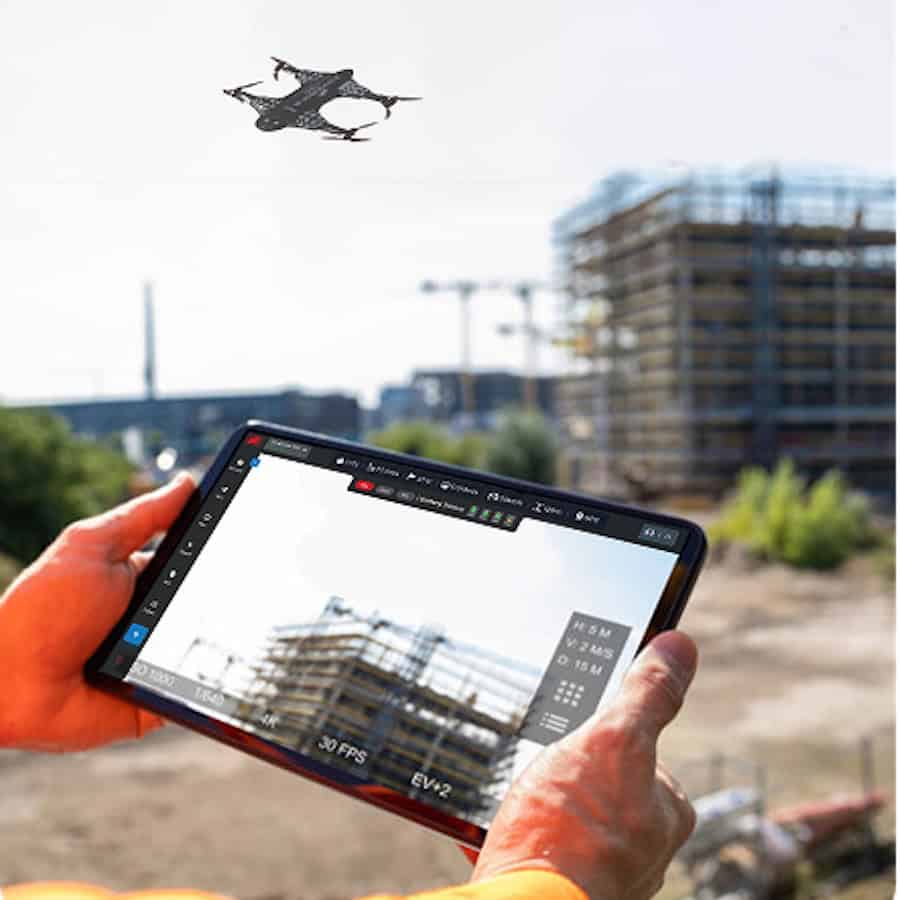
Drone as a Service by ZenaDrone discusses how drone-based 3D scanning is improving construction site documentation, progress tracking, and quantity measurement through the use of aerial photogrammetry and LiDAR technologies.
By generating detailed digital twins of active job sites, drones provide construction teams with measurable, current data that is more comprehensive than traditional manual surveying methods. Large areas can be scanned in minutes rather than days, while reducing the need for personnel to work near heavy machinery or unstable terrain.
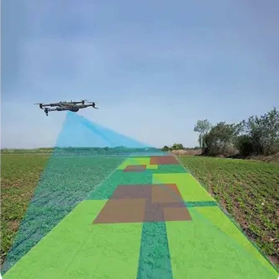
Construction teams use recurring drone flights to compare site conditions over time and verify measurable progress throughout a project lifecycle. Orthomosaics, point clouds, and digital elevation models allow managers and surveyors to validate grading, elevations, and structural alignment with a high level of precision. Drone data can also be overlaid onto BIM and design models to identify discrepancies between planned and completed work before errors lead to delays, schedule disruptions, or costly rework.
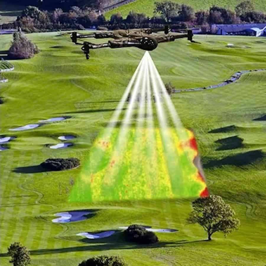
Drone-generated elevation data also supports cut-and-fill calculations, stockpile inventory management, and quantity verification for subcontractor billing. Automated processing software calculates material volumes quickly and produces color-coded heat maps that simplify analysis across large construction sites. These datasets provide an objective and time-stamped record that helps reduce disputes, protect project budgets, and support schedule validation throughout the construction process.
The article also examines how project managers, surveyors, estimators, and BIM teams rely on drone-generated datasets for different operational tasks, from updating as-built models to validating coordinates and verifying subcontractor performance. Professional drone service providers are often required for projects involving compliance, high-value financial decisions, or survey-grade accuracy standards, helping construction firms maintain reliable and verifiable site data throughout a project lifecycle.
For more information, visit the Drone as a Service by ZenaDrone website.