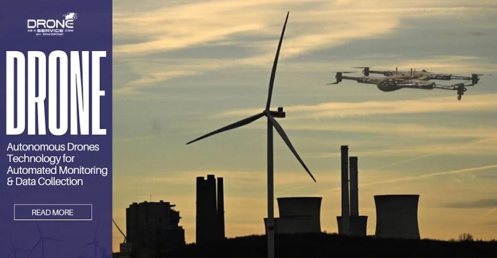
Drone-as-a-Service by ZenaDrone highlights the role of drone data analytics in transforming renewable energy operations by converting aerial data into actionable engineering insight. Read more >>
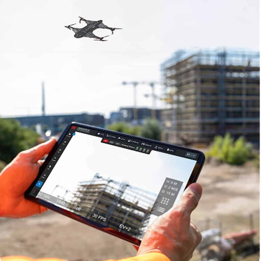
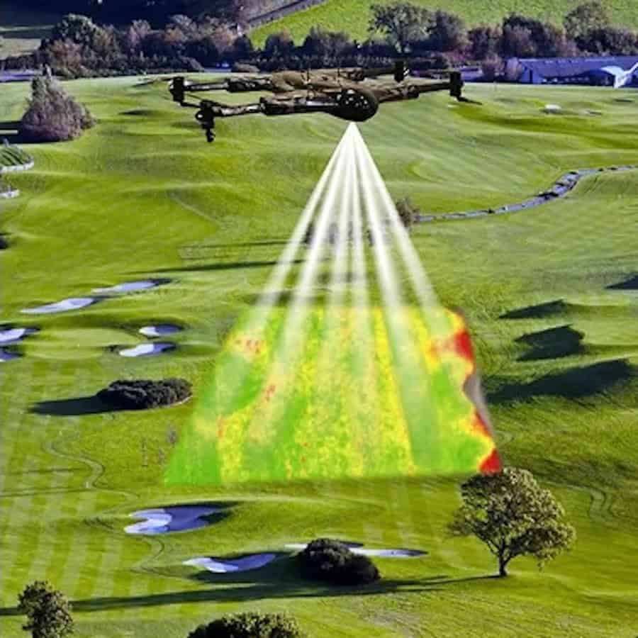
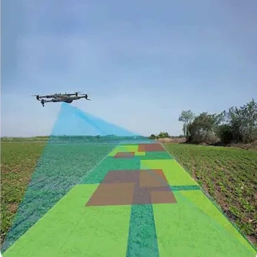
By combining high-resolution RGB imaging, thermal sensing, and LiDAR, drones function as multi-sensor platforms that capture detailed information across wind, solar, hydro, and grid infrastructure. This data is processed into orthomosaics and 3D digital models, enabling accurate assessment of asset condition while replacing slower, higher-risk manual inspection methods with efficient and repeatable workflows.
The approach emphasizes the value of AI-driven analytics in turning raw datasets into meaningful intelligence. Automated detection tools identify structural damage, thermal anomalies, and performance issues that may not be visible through conventional inspection techniques. Through defect classification, pattern recognition, and risk-based prioritization, operators can address faults earlier, reduce downtime, and streamline maintenance planning with clearly defined operational recommendations.
Drone-as-a-Service by ZenaDrone also discusses how these capabilities support a transition toward predictive maintenance across renewable energy systems. Applications include wind turbine blade inspections, hydroelectric structure monitoring, and thermal diagnostics of solar arrays and electrical equipment. By enabling consistent, data-driven evaluations, the solution enhances safety by minimizing manual intervention, improves maintenance efficiency, and supports longer asset lifecycles.
As renewable infrastructure continues to expand, Drone-as-a-Service by ZenaDrone highlights how integrating aerial data collection with advanced analytics strengthens operational reliability and energy output.