

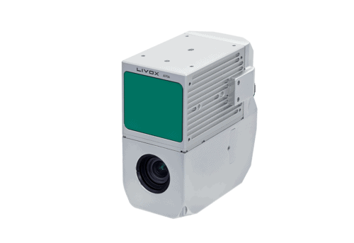
AlphaAir 450
The AlphaAir 450 (AA450) is a major breakthrough in 3D mobile mapping technology, allowing its use by non-professional users in geospatial reality capture applications and to those who have never been able to access such technology before. The AlphaAir 450 offers ease of use and high precision capabilities at an affordable price point.
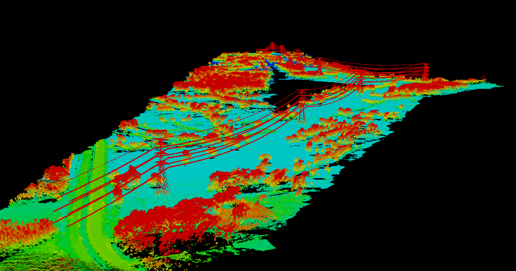
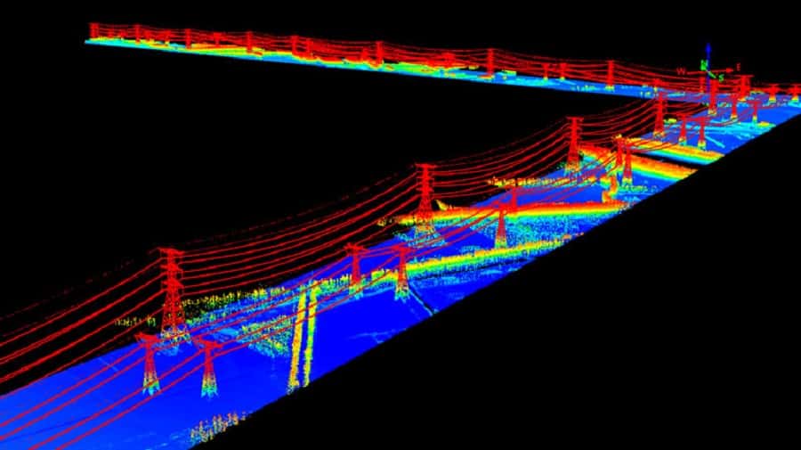
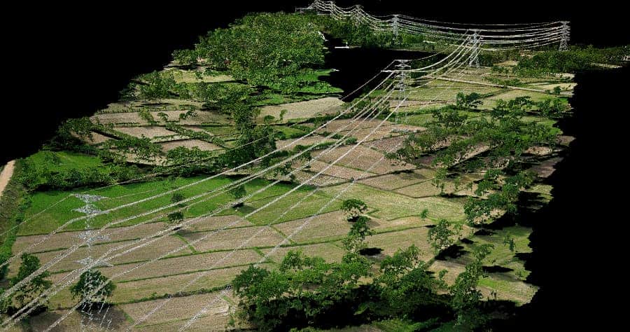
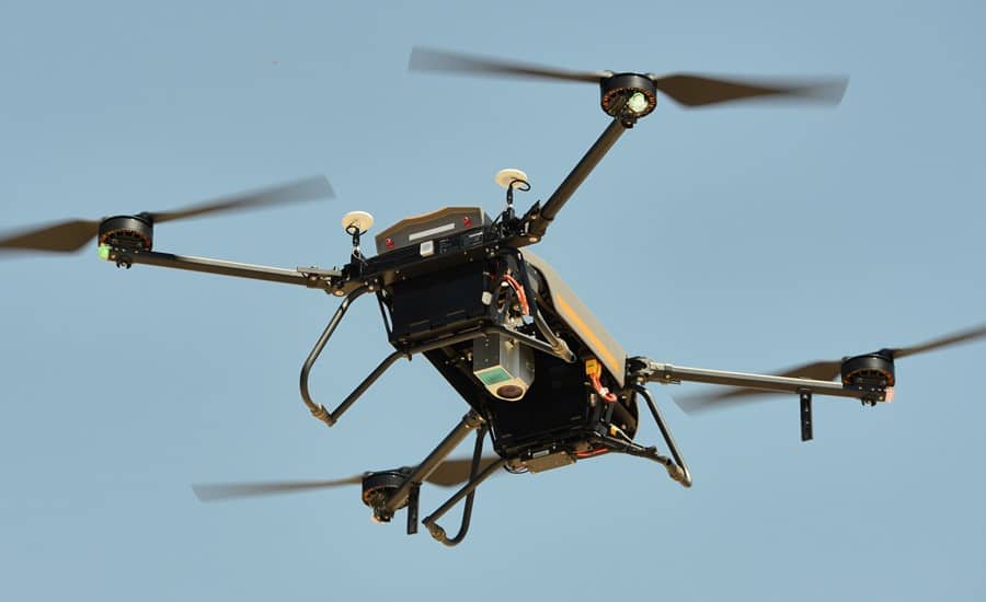
AlphaAir 450 is the next generation of CHCNAV LiDAR system, which is widely used for power line inspection, topographic mapping, emergency response, agricultural and forestry surveys, and more. This all-in-one, lightweight and rugged system integrates a high-performance laser scanner with an industrial-grade professional 24 MP camera and a high-precision inertial navigation system for quality data collection.
Specifications:
| Size | 13.6 × 12.8 × 7.7 cm 5.11 × 4.72 × 2.75 " |
| Weight | 1 kg |
| Power Consumption | 32W |
| Absolute Accuracy | < 10cm horizontal < 5cm vertical |
| Point density @ 5 m/s | 570 pts/sqm @ 50 m AGL 280 pts/sqm @ 100 m AGL |
| IMU accuracy (GNSS-aided) | 0.010 m RMS horizontal 0.020 m RMS vertical 0.01 degrees RMS pitch/roll 0.04 degrees RMS heading |
| Camera | Sony A5100 24.3 MP |


