

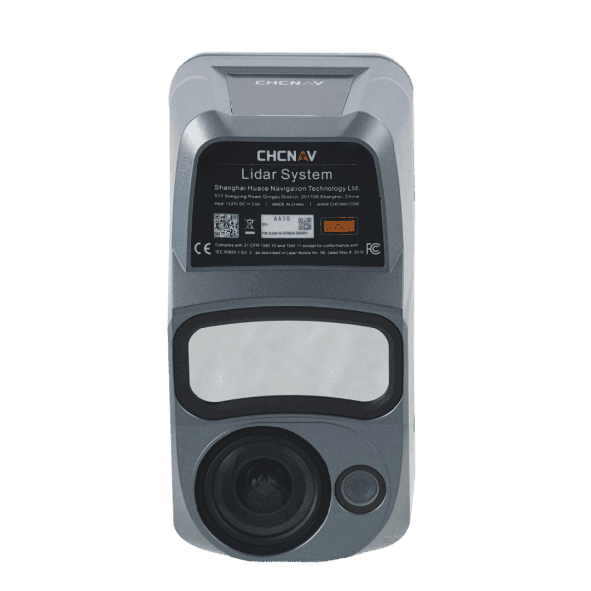
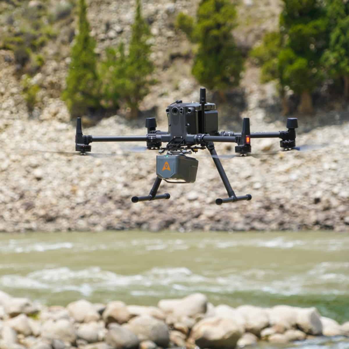
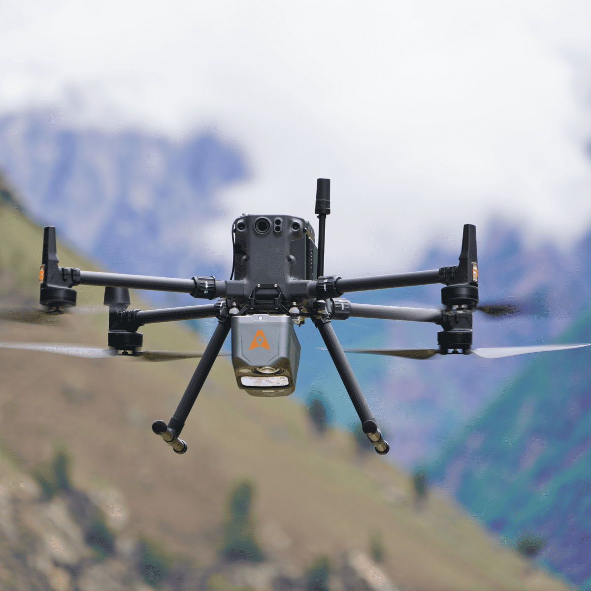
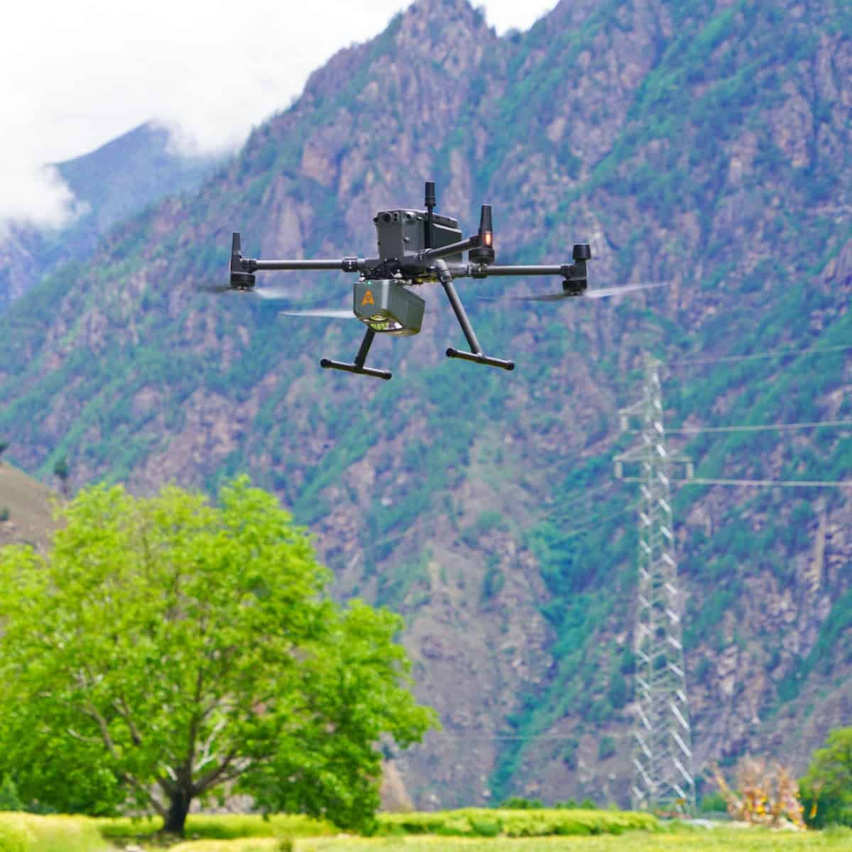
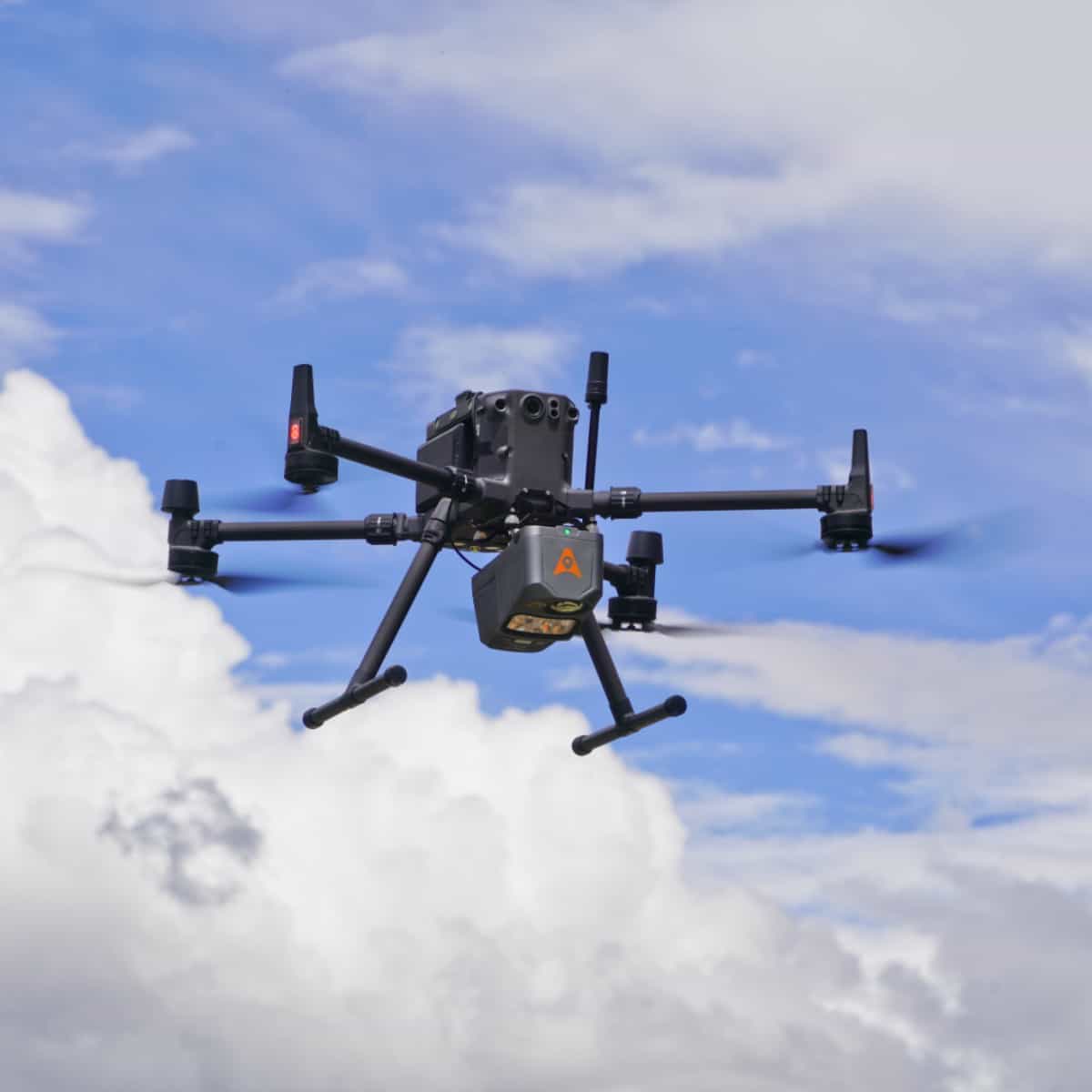
The AlphaAir 10 (or AA10) is an advanced aerial surveying solution that seamlessly integrates LiDAR and RGB sensors to meet the needs of professional UAV LiDAR mapping and drone photogrammetry.
Leveraging CHCNAV's cutting-edge LiDAR technology, the AA10 flawlessly integrates high-precision LiDAR, accurate GNSS positioning, IMU orientation, and an industrial-grade full-frame orthophoto camera. Combined with CHCNAV point cloud and image fusion modeling software, the AA10 provides a survey-grade, efficient, and cost-effective approach to 3D data acquisition and processing.
The AA10 Airborne LiDAR + RGB System accelerates accurate 3D data collection within a single mission and simplifies the process of capturing 3D reality through a streamlined workflow.
| Absolute Hz accuracy | 2 cm ~ 5 cm RMS |
| Absolute Z accuracy | 2 cm ~ 5 cm RMS |
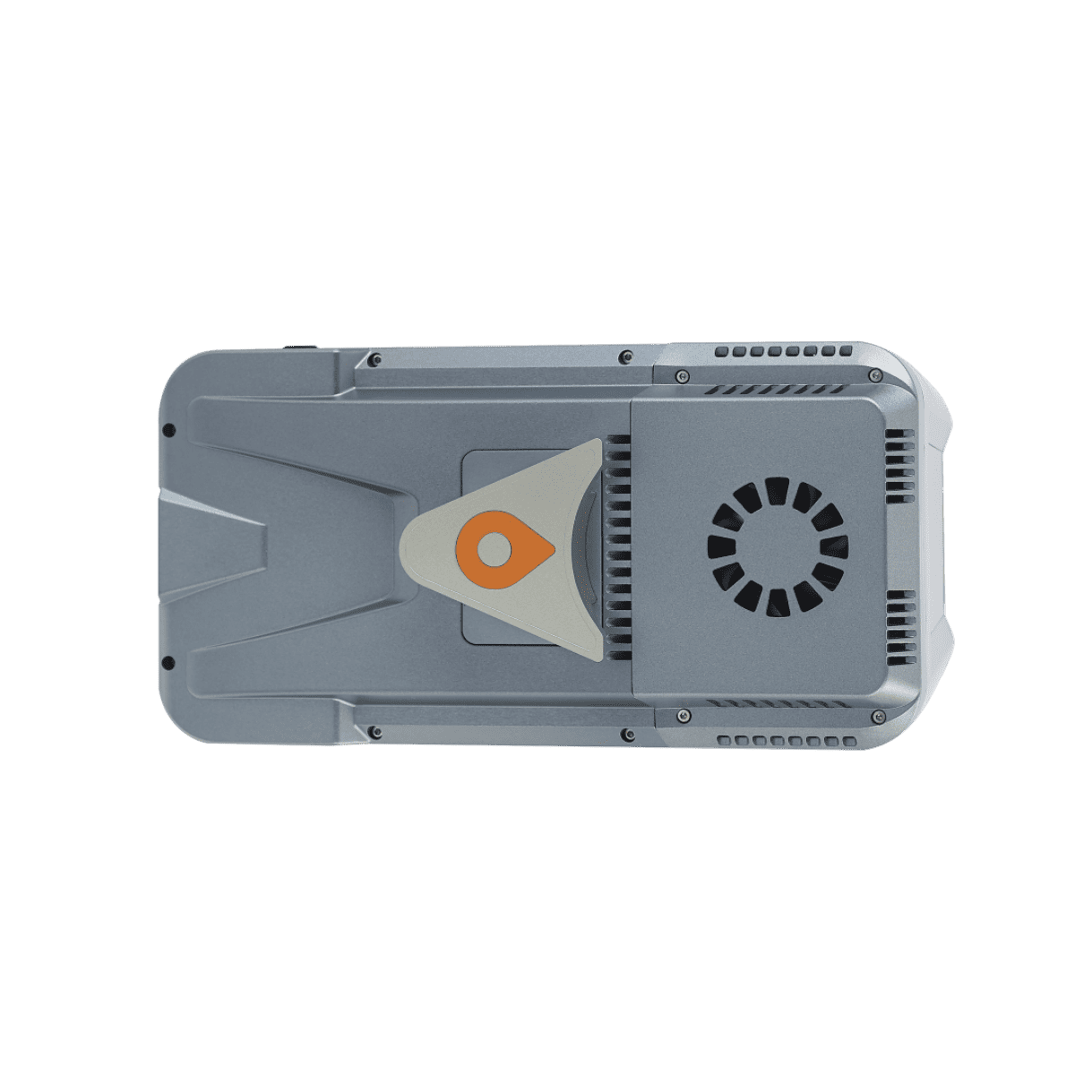
| Mounting | Quickly install & release design, easily switch between various UAV platforms |
| Weight of instrument | 1.55 kg |
| Dimensions of instrument | 210 mm x 112 mm x 131 mm |
| Data storage | 512 G*2 |
| Coping speed | 80 Mb/s |
| GNSS system | GPS: L1, L2, L5 GLONASS: L1, L2 BEIDOU: B1, B2, B3 GALILEO: E1, E5a, E5b |
| IMU update rate | 500 Hz |
| Attitude accuracy after post-processing | 0.006° RMS pitch/roll 0.019° RMS heading |
| Position accuracy after post-processing | 0.010 m RMS horizontal 0.020 m RMS vertical |
| Resolution | 45 MP |
| Focal length | 21 mm |
| Sensor size | 36 × 24 mm (8184 × 5460) |
| Pixel size | 4.4 μm |
| Min photoing interval | 1 s |
| FOV | 81.2° × 59.5° |
| Operating temperature | -20°C to +50°C |
| Storage temperature | -20°C to +60°C |
| IP rating | IP64 |
| Input voltage | DC 24 V (13 ~ 27 V) |
| Power consumption | 40 W |
| Power source | Depending on UAV battery or by Skyport (DJI M300/M350) |
| CoPre pre-processing software | Data copy, POS solve, point cloud and images creation, strip adjustment & GCP refine, noise optimization, DOM and 3D model generation |
| CoProcess point cloud processing software | Terrain module, road module, extraction module, volume module |


