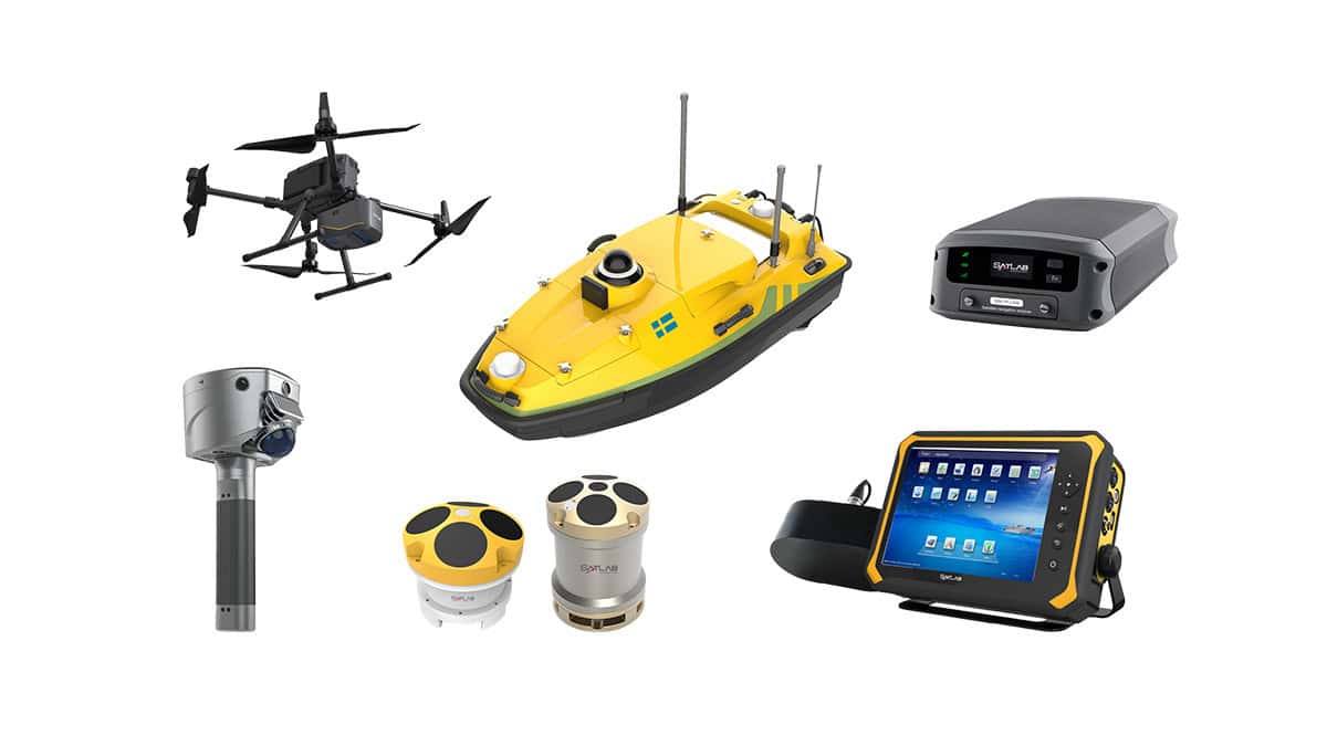
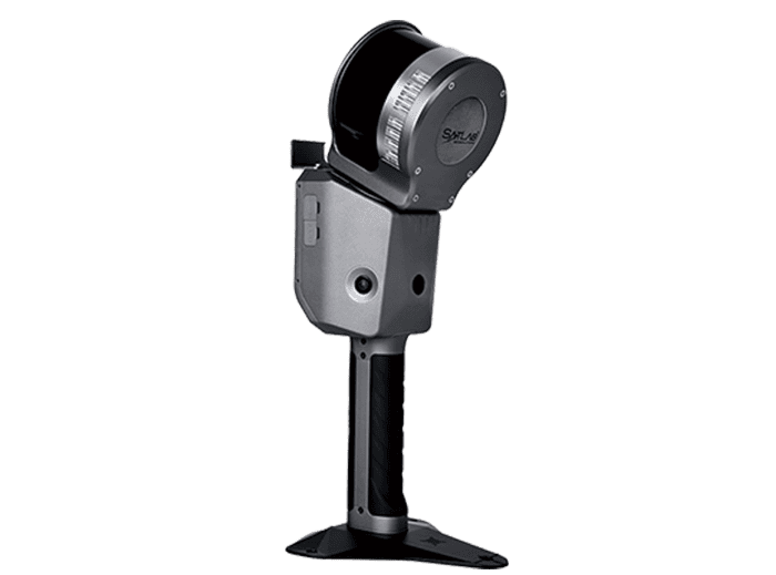
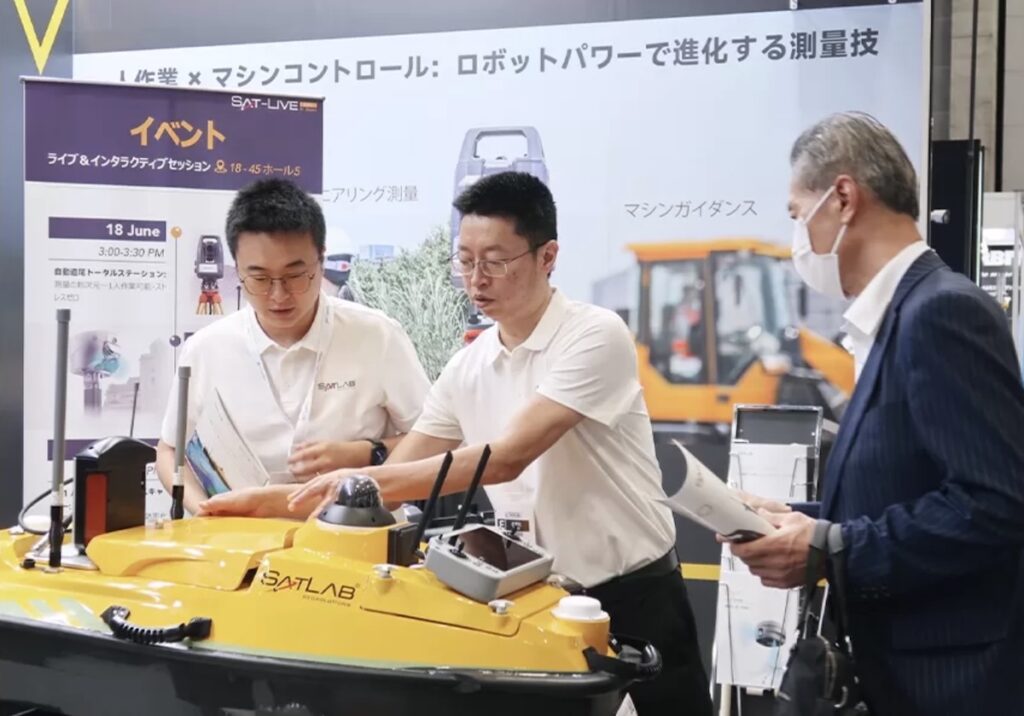
SatLab Geosolutions has introduced the HydroBoat 1200 GEN2, a compact Unmanned Surface Vessel (USV) engineered to support hydrographic surveying, underwater mapping, and environmental monitoring operations.

The upgraded platform combines a lightweight twin-hull design with integrated automation capabilities intended to reduce operator workload during marine survey missions. Measuring 1.05 meters in length and weighing 29 kilograms, the USV is designed for rapid deployment across inland waterways, reservoirs, and port environments.
The vessel incorporates an IP67-rated hull architecture alongside anti-tangle propulsion and millimeter-wave radar-based obstacle avoidance technologies to improve operational reliability in cluttered or debris-prone environments. A configurable single- or dual-battery system enables more than four hours of endurance, with hot-swappable batteries supporting extended field operations.
HydroBoat 1200 GEN2 includes an onboard single-beam echosounder and supports payload capacities of up to 40 kilograms. The platform is compatible with a range of hydrographic and environmental survey sensors, including multibeam echosounders, acoustic Doppler current profilers (ADCPs), side-scan sonar systems, and water quality monitoring equipment.
According to SatLab, the USV integrates GNSS and IMU-based positioning, onboard data storage, and 4G communications to support stable positioning and remote survey operations. Survey functionality is managed through the company’s SLHydro Android software platform, which provides automated route planning, real-time video monitoring, and automated data collection for multiple survey configurations.
The system is designed to support applications including riverbed and underwater terrain mapping, reservoir capacity assessment, dredging measurement, dam safety monitoring, channel surveys, and sediment monitoring. Additional operational roles include dockside depth measurement and underwater obstacle detection in ports and inland waterways.