


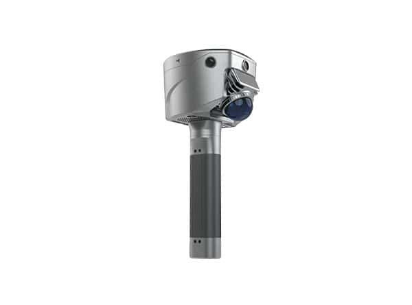
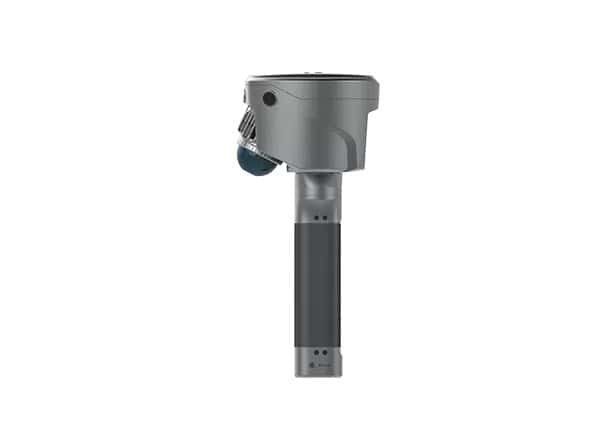
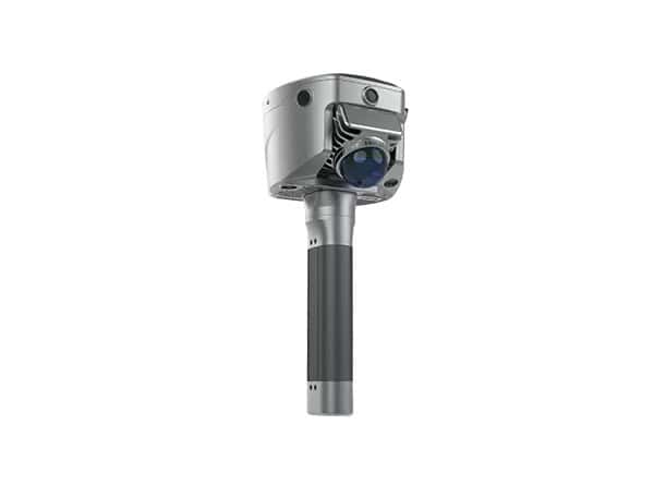
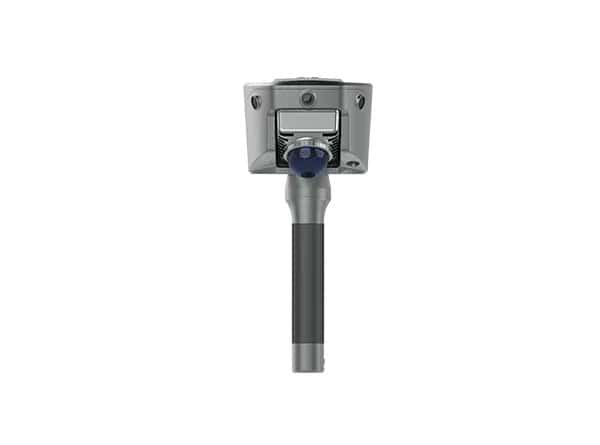
The SatLab SL9 SLAM RTK combines high-precision GNSS positioning with SLAM technology to remove the spatial constraints of traditional RTK measurements. It provides reliable and precise measurements in urban buildings, dense forests, and indoor environments, maintaining efficiency and versatility in fieldwork. The integrated imaging system delivers real-time coordinate outputs within the Satsurv mobile environment while maintaining centimeter-level accuracy through automatic switching between RTK and SLAM positioning modes.
The SL9 includes multiple HD cameras that work with SLAM technology to calculate 3D coordinates directly from selected image points, achieving 2–5 cm accuracy within 15 meters. The Android-based Satsurv software allows instant terrain and volume calculations and exports point-cloud data in a unified coordinate system without control points or loop closure. Full-constellation tracking of GPS, Galileo, GLONASS, BeiDou, and NAVIC ensures signal reliability in challenging environments. Sat-LiDAR software supports post-processing with thickness under 2 cm and accuracy under 1 cm for tunnel excavation, progress monitoring, and renovation projects.
Specifications:
| Weight: | 1.68 kg |
| Range: |
0.1~40 m at 10% 0.1~70 m at 80% |
| FOV: |
H: 360° V: 59° |
| Built-In Battery Life: |
RTK rover(UHF/Cellular): up to 4 hours SLAM mode: up to 2 hours |
| External Battery Life: |
RTK rover(UHF/Cellular): up to 10 hours SLAM mode: up to 5 hours |
| Storage Capacity: | Circulating 512GB ROM |


