CHC Navigation has released the AlphaAir 6, a flagship airborne LiDAR system engineered for Unmanned Aerial Vehicle (UAV) mapping and surveying in complex, high-relief environments.
CHCNAV‘s new system utilizes prism scanning technology alongside a high-grade inertial navigation system to achieve a maximum ranging capability of 2,100m. It is designed to support efficient data capture at typical flight altitudes ranging from 400 to 600m above ground level. By integrating an upgraded laser engine and an IMU with 0.3°/h bias stability, the system improves trajectory accuracy and point cloud quality while removing the requirement for pre-mission IMU calibration.
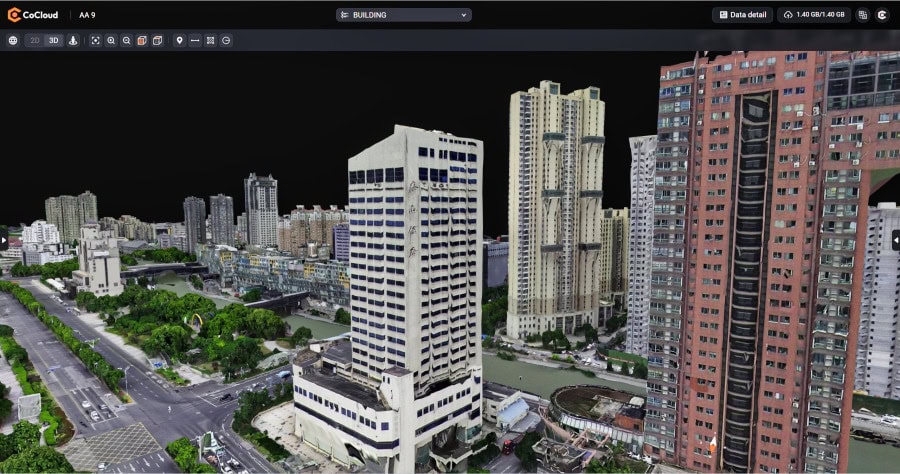
To address the need for precision in dense environments, the AlphaAir 6 employs 5th-generation real-time waveform processing and multi-period technology. These features allow the hardware to capture detailed data across vegetation and built environments, even when operating at a pulse repetition rate of 2,000,000 pulses per second. The system also supports real-time point cloud output, providing operators with immediate in-flight visibility.


Imaging capabilities for the system are customizable, with CHC Navigation offering both single-camera and dual-camera configurations. Both setups utilize large-format CMOS sensors for high-resolution imagery, though the dual-camera version provides an ultra-wide field of view to increase overall mapping efficiency and coverage.
The hardware is housed in a lightweight, integrated chassis weighing 1.35 kg. This design reduces the payload burden on aerial platforms to help extend flight endurance. To ensure broad utility for surveying and mapping professionals, the system uses open interface protocols, allowing for integration with a variety of mainstream multirotor and fixed-wing UAVs.