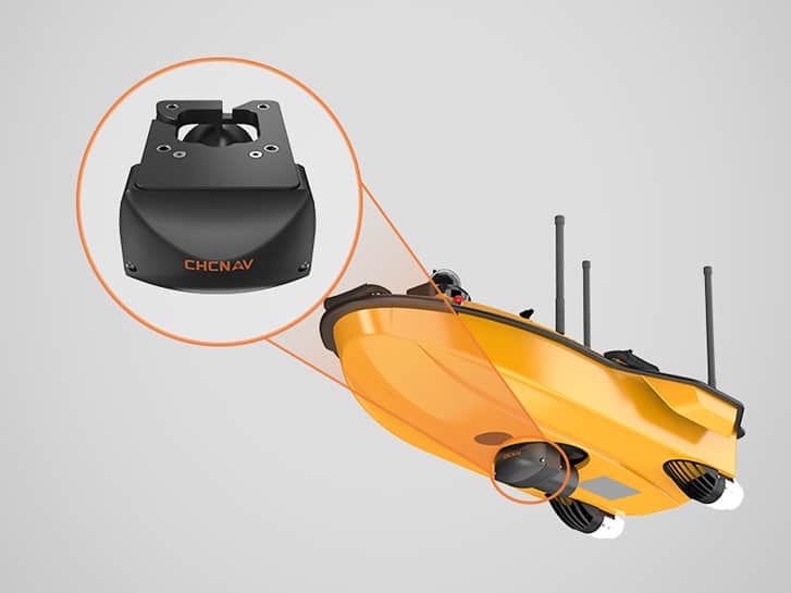
CHC Navigation has released the HN-400M, a compact multibeam echosounder engineered to capture high-resolution bathymetric data across challenging aquatic environments using both unmanned surface vessels and manned platforms.
Designed for mapping rivers, lakes, reservoirs, ports, channels, and nearshore areas, the system features an adjustable 400 to 550 kHz operational frequency range. This dual-frequency configuration allows survey teams to adapt directly to changing project conditions, utilizing 550 kHz for high-resolution shallow-water bathymetry while leveraging 400 kHz for broader mapping in deeper or more turbid waters.
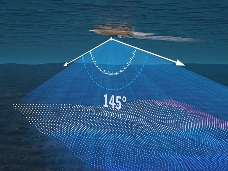
The sonar provides up to 145 degrees of swath coverage and supports coverage widths reaching six times the water depth. Operating with 512 receive beams, a measurement range spanning 0.2 meters to 200 meters, and a range resolution under 10 millimeters, the system captures dense underwater topographic data. This broad swath coverage allows operators to decrease line spacing, accelerating data collection for engineering, dredging, inspection, and environmental monitoring projects.
To counteract vessel movement caused by wave action, the unit incorporates integrated INS-based motion compensation delivering 0.03-degree pitch and roll accuracy. This continuous stabilization maintains data quality despite heave, pitch, and roll, supporting consistent hydrographic survey results in turbulent conditions.
With a total weight of 3.5 kilograms including its mounting bracket, the system utilizes a calibration-free design to streamline field mobilization and accelerate setup times across diverse survey sites.
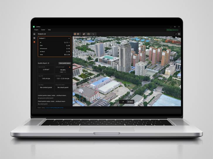
For operational field control and processing, the hardware supports CHCNAV EasySail on Android platforms, alongside CHCNAV CMS and CoSail software. The echosounder is also compatible with widely used third-party hydrographic software suites, including Beamworx, HYPACK, QPS, EIVA, and CARIS, allowing direct integration into established data acquisition, processing, and reporting workflows.