


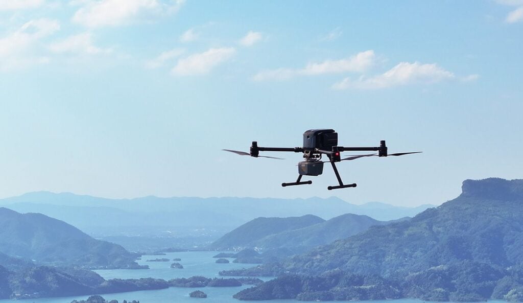
CHC Navigation (CHCNAV) has launched the X500 Multirotor Drone, a professional drone designed for precision aerial operations.
With advanced flight controls and a high payload capacity, the X500 is ideal for applications including surveying, urban monitoring, emergency response, disaster relief, and infrastructure inspection.
The X500 is equipped with dual GNSS, triple IMU redundancy, and millimeter-wave radar for precise obstacle detection. Its video transmission system delivers stable HD video feeds over a range of up to 20 km, while V-SLAM visual positioning ensures accuracy for tasks such as landing on moving platforms.
The X500’s innovative power system supports up to 58 minutes of flight time. The BS10 station simultaneously charges six batteries from 20% to 90% in just 40 minutes, ensuring minimal downtime during extended missions. Its hot-swappable batteries enable seamless transitions for continuous flight operations.
With a payload capacity of 5 kg, the X500 can operate for 58 minutes, or up to 50 minutes when carrying the CHCNAV AA10 LiDAR. The drone’s open SDK and Mavlink protocol compatibility enable integration with CHCNAV sensors and third-party equipment. Its IP55 rating and ability to operate in winds up to 12 m/s ensure reliable operation in harsh environments.
The X500 is supported by CHCNAV’s SmartGo ground control software, which simplifies mission planning and provides real-time flight monitoring. With multiple flight path options and beyond visual line of sight (BVLOS) capabilities, SmartGo ensures safe and efficient operations while maintaining full control over mission parameters.
Byron Yuan, Director of 3D Mobile Mapping at CHC Navigation, commented, “The X500 marks a major step forward in professional UAV technology, offering exceptional flight performance and versatile payload options. Its rugged design and intelligent features provide professionals with a reliable solution for aerial data collection.”


