


CHC Navigation (CHCNAV) has released CoProcess, an innovative software platform designed to streamline the post-processing of large point cloud datasets acquired by UAV (unmanned aerial vehicle) and mobile LiDAR systems.
Powered by specialized algorithms and providing a highly user-friendly and intuitive interface, CoProcess seamlessly transforms raw scan data into high-quality output for engineering and geospatial applications. The software’s automation capabilities further increase the efficiency of LiDAR data post-processing.
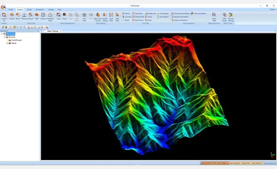
The CoProcess user interface is organized into four modules – Foundation, Terrain, Road, and Volume – with built-in wizards and a user manual to guide first-time users. Customizable interface layouts and support for the efficient CoData point cloud format significantly increase productivity when importing and visualizing large datasets.
Final deliverables can be exported in common formats such as DXF or DAT, facilitating integration with third-party software such as CAD and ArcGIS. This seamless data exchange bridges the gap between different software platforms, increasing project efficiency.
Custom modules guide users through a streamlined workflow from raw data import to final deliverables. Key processing functions include ground point classification, feature extraction, contour generation, automated DEM/DSM creation, and more. Noise filtering and data optimization algorithms designed specifically for large datasets deliver accurate results with fast processing speeds.
CoProcess provides volume calculation using the grid method, with the flexibility to export results in DXF format. In addition, the software can analyze volume differences between two phases and generate detailed reports. Points classified with CoProcess or generated from a DEM can be used as the basis for creating contour lines. The CoProcess software distinguishes between mathematical contours and various smoothing options for cartographic contours.
Jax Fu, supervisor of the CHC Navigation Mapping product line, commented; “CoProcess software allows effortless management of complex point cloud data, unlocking the full potential of LiDAR scanning for geospatial applications. We invite all mapping professionals to experience the capabilities of our 3D reality capture ecosystem.”


