


As drone operations demand ever-greater levels of accuracy and autonomy, CHC Navigation (CHCNAV) is helping redefine what precise positioning means through advanced GNSS technologies designed for unmanned systems.
While many people still use the term “GPS” as shorthand for satellite navigation, professional UAV workflows increasingly depend on something far more capable: GNSS.
GNSS, or Global Navigation Satellite System, is the collective term for satellite constellations including GPS, GLONASS, Galileo, and BeiDou. Modern professional receivers no longer rely on a single constellation. Instead, they simultaneously track signals from dozens of satellites across multiple frequencies, dramatically improving positional accuracy and continuity in difficult environments.
For drones operating in survey corridors, dense urban areas, or near terrain obstacles, that capability is critical. Signal blockage, poor satellite geometry, and atmospheric interference can degrade positioning performance, particularly when relying on GPS alone. Multi-constellation GNSS mitigates these issues by increasing satellite availability and strengthening positional integrity.
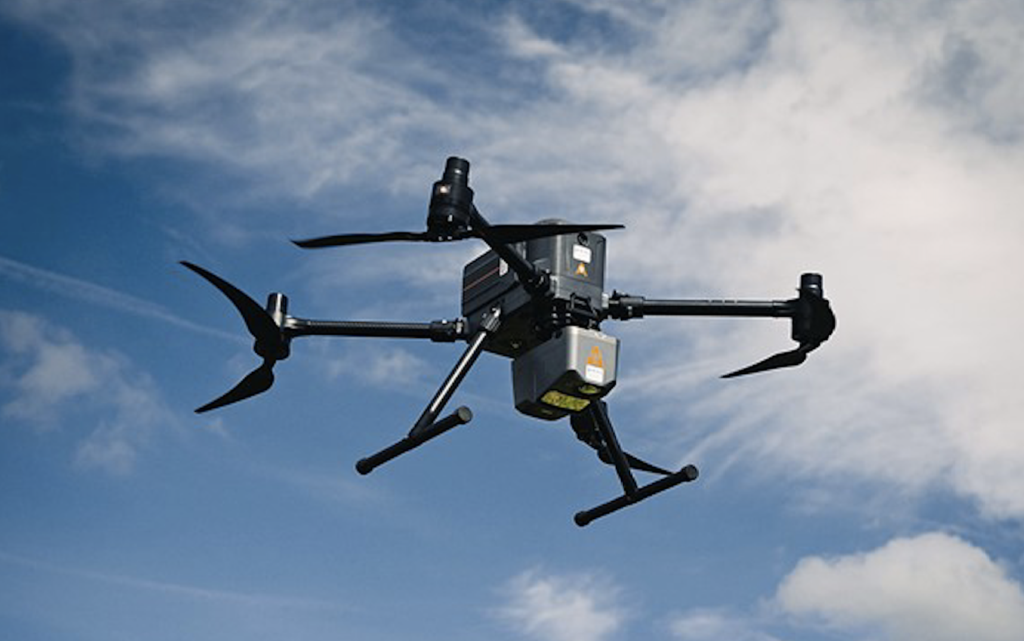
CHCNAV has positioned itself at the forefront of this evolution, developing advanced GNSS technologies for geospatial workflows, autonomy, and UAV operations. Its positioning solutions integrate dual-frequency, RTK, and GNSS/INS capabilities to deliver centimetre-level accuracy for drone mapping, corridor inspection, and infrastructure survey applications. By combining GNSS with inertial navigation, systems can maintain stable positioning during temporary signal interruptions, enabling reliable performance in environments where conventional satellite navigation may struggle.
For UAV survey operators, this translates directly into faster deployment and higher data confidence. Drones equipped with PPK- or RTK-capable GNSS can significantly reduce the need for ground control points while still achieving survey-grade outputs. Whether mapping construction sites, monitoring utilities, or conducting hydrographic missions, precise positioning ensures every collected dataset aligns accurately with the real world.
As unmanned systems take on increasingly complex tasks, the industry’s shift from GPS-only positioning to advanced multi-constellation GNSS is becoming essential. CHCNAV’s technologies are helping make that transition possible, delivering the positioning performance modern drone operations depend on.


