Unmanned systems equipped with environmental monitoring technology play a key role in enabling real-time assessment of atmospheric, terrestrial, and aquatic conditions for a variety of applications. As environmental impact, data-driven decision-making, and sustainability become increasingly critical across industries, the integration of environmental monitoring systems into unmanned platforms—such as drones, autonomous vehicles, and robotic systems—has expanded dramatically. These technologies empower industries ranging from agriculture and defense to marine research and disaster response to monitor, manage, and protect natural environments more effectively.
If you design, build or supply Environmental Monitoring, create a profile to showcase your capabilities and connect with visitors who have an active requirement for your solutions.
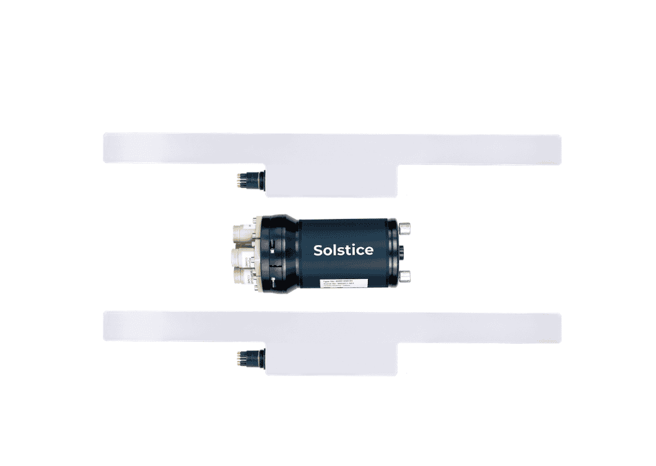
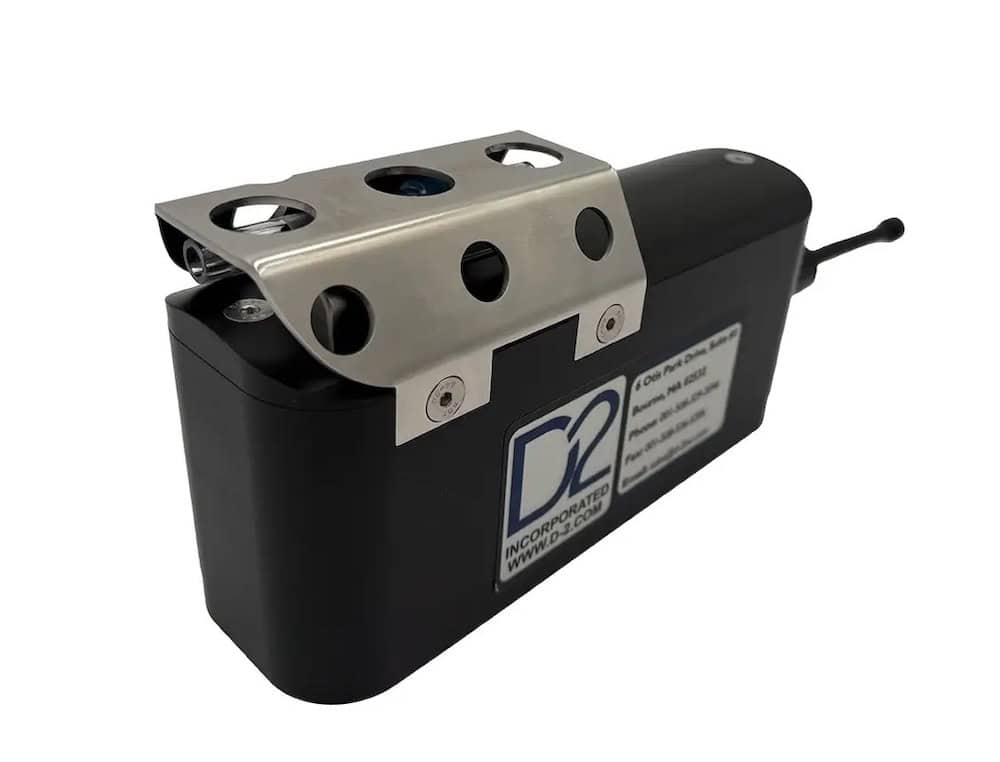
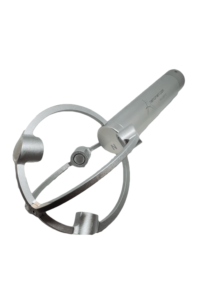
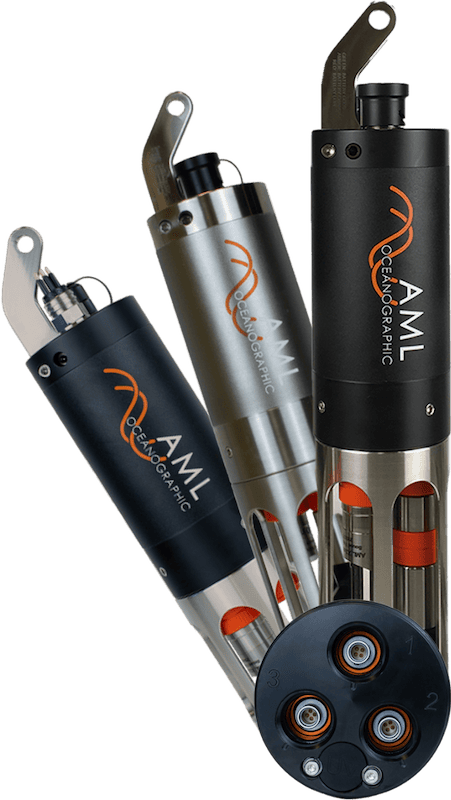
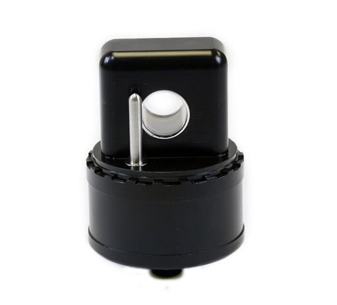
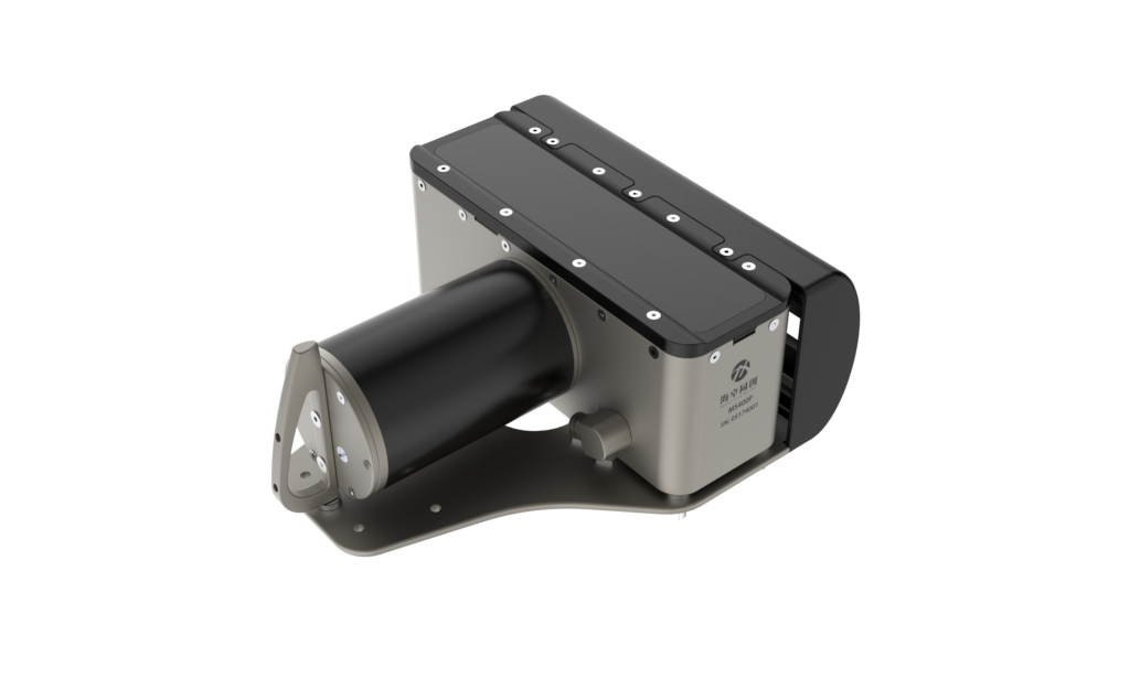
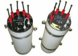
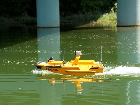
Compact conductivity, temperature & depth sensor for AUV & USV integration
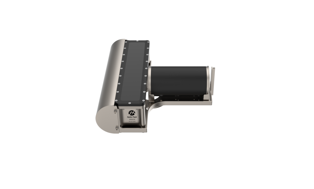
Compact conductivity, temperature & depth sensor for AUV & USV integration
...ing mounts and systems. Combined with fast calibration turnaround times and robust environmental... ...vity cell, the system provides closed-field precision without a pump, resulting in silent operation...
Unmanned environmental monitoring harnesses cutting-edge sensor systems, software platforms, and autonomous technologies to capture high-resolution, continuous environmental data. From air and water quality analysis to habitat tracking and climate research, these systems offer significant advantages over manual and stationary monitoring approaches.
Environmental monitoring encompasses a wide spectrum of applications and technologies designed to measure and assess environmental parameters. Whether monitoring pollutants in remote regions or assessing weather impacts across broad geographic areas, these tools enhance the accuracy and timeliness of environmental data collection.
Unmanned platforms—such as drones (UAVs), autonomous surface vehicles (ASVs), and unmanned ground vehicles (UGVs)—can be equipped with diverse environmental monitoring systems. These may include weather stations, gas detectors, temperature and humidity sensors, and advanced environmental analysis tools. Such integrations facilitate data collection in inaccessible or hazardous environments while reducing risk to human personnel.
Environmental Monitoring Technologies & Solutions
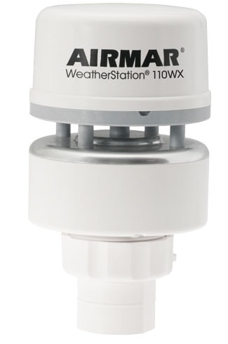
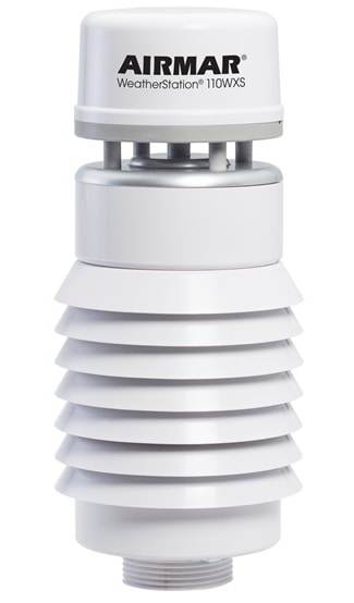
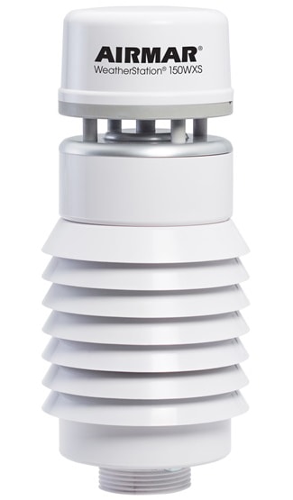
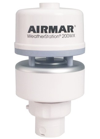
Weather Stations & Meteorology
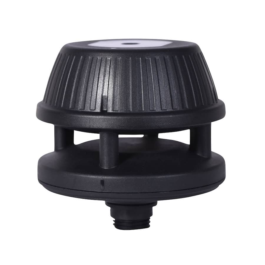
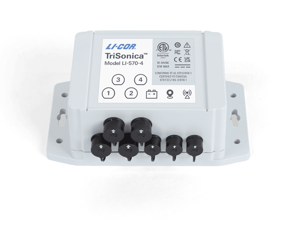
TriSonica Mini Wind & Weather Sensor by LI-COR
Weather stations designed for unmanned platforms deliver essential meteorological data in real time. These systems measure parameters such as temperature, wind speed, humidity, atmospheric pressure, and precipitation. Compact and lightweight weather stations can be mounted on drones or mobile robotic systems, supporting applications from agricultural planning to emergency response operations.
Their data feeds into environmental analysis workflows, enabling immediate interpretation and action based on localized climate conditions. Integrated weather sensors such as ultrasonic anemometers provide precise wind speed and direction measurements, while barometric pressure sensors and hygrometers enhance forecasting capabilities. These components enable unmanned platforms to deliver high-resolution, mission-critical data even in dynamic or remote environments.
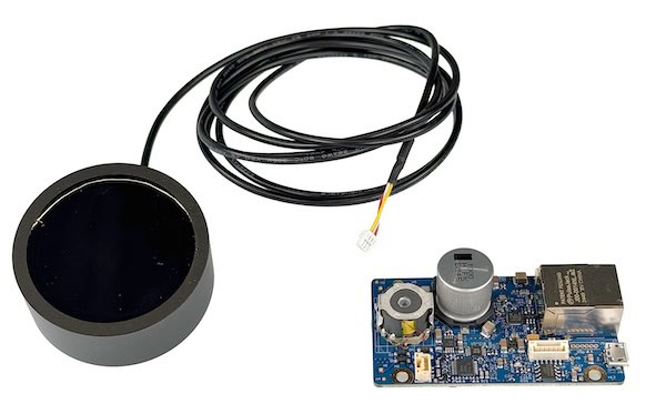
Environmental Sensors
Environmental sensors are the backbone of environmental monitoring systems, capable of detecting a range of physical and chemical variables including air and water quality, soil conditions, radiation levels, and particulate matter. These sensors can be deployed on drones, underwater vehicles, or stationary monitoring points, offering real-time data transmission and integration with broader environmental monitoring and assessment frameworks. Miniaturized sensors enhance mobility and versatility, making them ideal for scalable remote environmental monitoring networks.
Environmental Monitoring Software
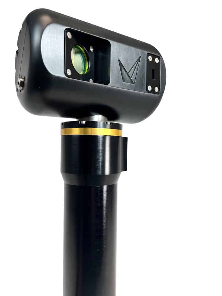
Delph Sonar Software by Exail for Environmental Monitoring
Advanced environmental monitoring software enables the aggregation, visualization, and interpretation of large datasets collected by unmanned platforms. These platforms support remote environmental monitoring by integrating sensor data, GPS coordinates, and analytics in real time.
Software tools often include customizable dashboards, predictive modeling, and compliance reporting features. These capabilities are critical for environmental monitoring and control across industries such as energy, construction, and conservation.
Environmental Monitoring Drones
Environmental monitoring drones are transforming environmental monitoring through aerial data collection, offering a fast, flexible, and cost-effective alternative to traditional survey methods. Equipped with specialized environmental sensors, these UAVs can detect pollutants, map terrain, assess vegetation health, and conduct thermal imaging.
Drones are especially valuable for aquaculture environmental monitoring and for evaluating remote or hazardous sites where manual inspection is impractical. Their capacity to carry environmental monitoring equipment and transmit data instantly makes them indispensable for modern monitoring operations.
Applications of Unmanned Environmental Monitoring
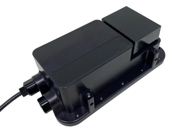
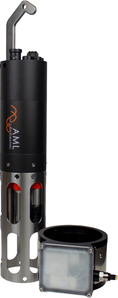
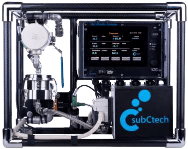
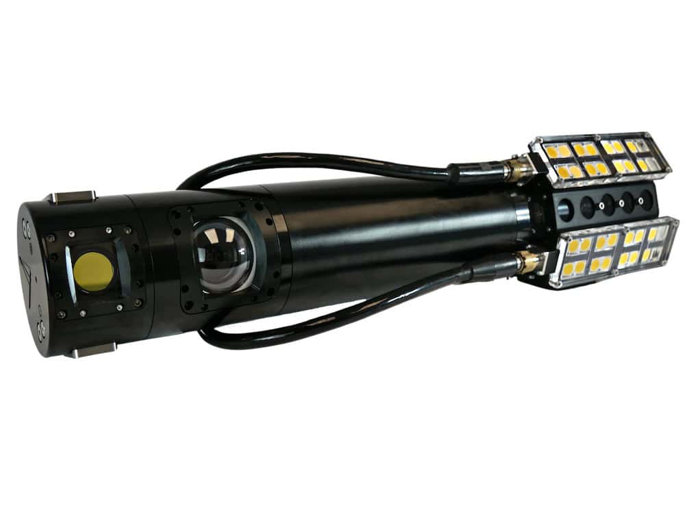
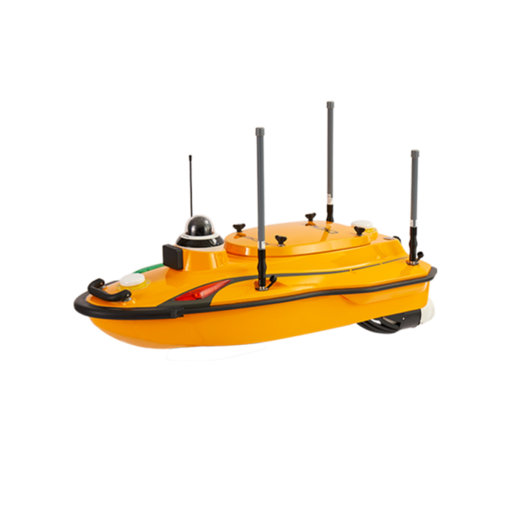
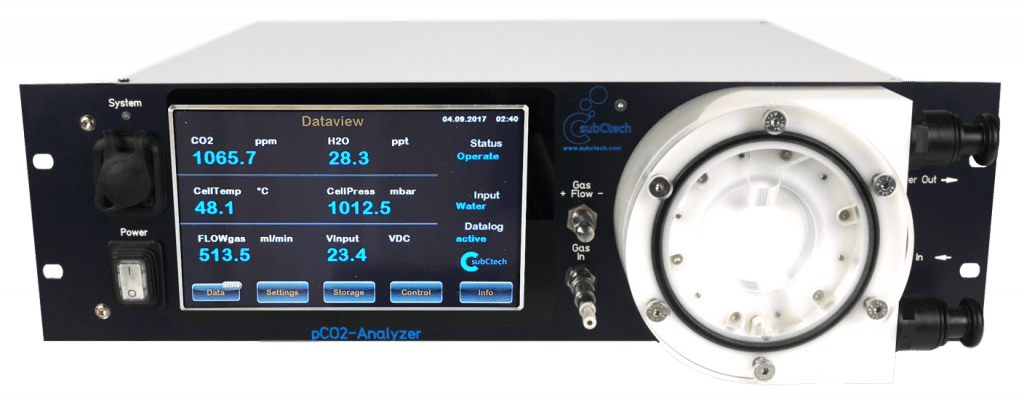
OceanPack™ RACK Autonomous Marine Monitoring System by SubCtech
Environmental monitoring and management strategies are increasingly dependent on unmanned systems. These tools are used for a variety of purposes including environmental impact assessment before infrastructure development, environmental compliance monitoring in mining and industrial operations, and ecosystem monitoring for conservation purposes.
In the marine sector, autonomous underwater vehicles collect temperature and salinity data, supporting climate change research and ocean health assessments.
In agriculture, environmental monitoring systems guide precision farming by providing insights into weather patterns, soil moisture, and crop health. In urban planning and smart city development, sensor networks deliver data that supports air quality management and environmental risk forecasting. Defense and disaster response teams utilize mobile monitoring platforms to detect hazardous materials, monitor weather threats, and assess post-event environmental conditions.
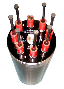
Environmental Monitoring System Integration
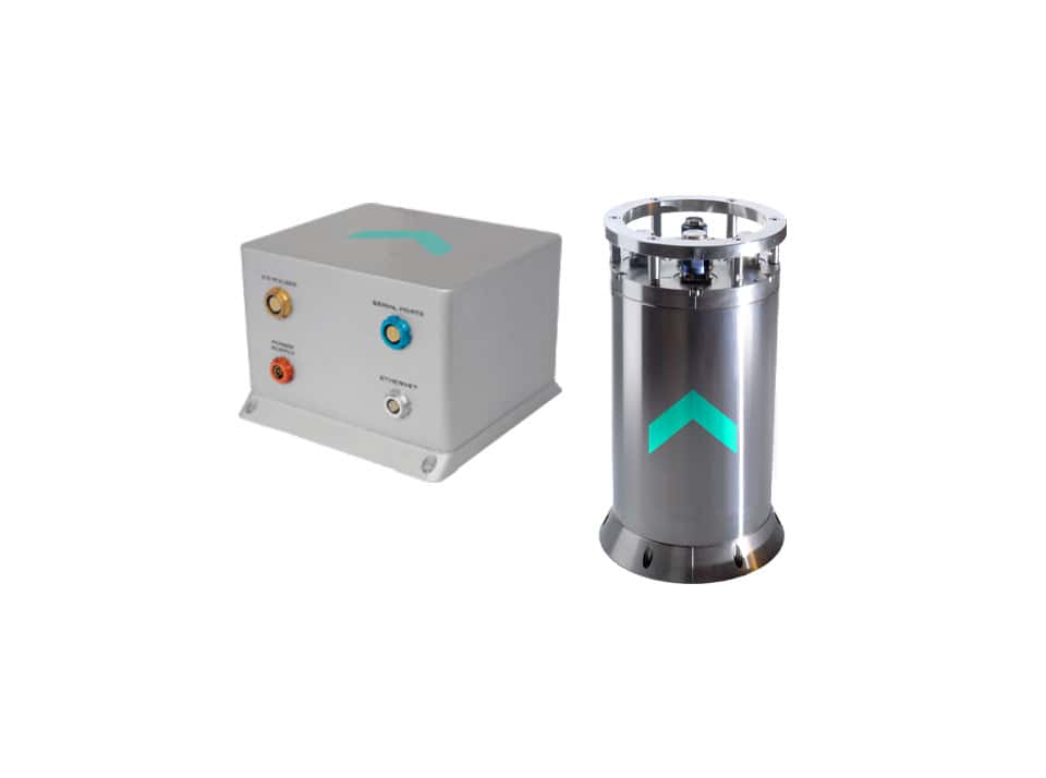
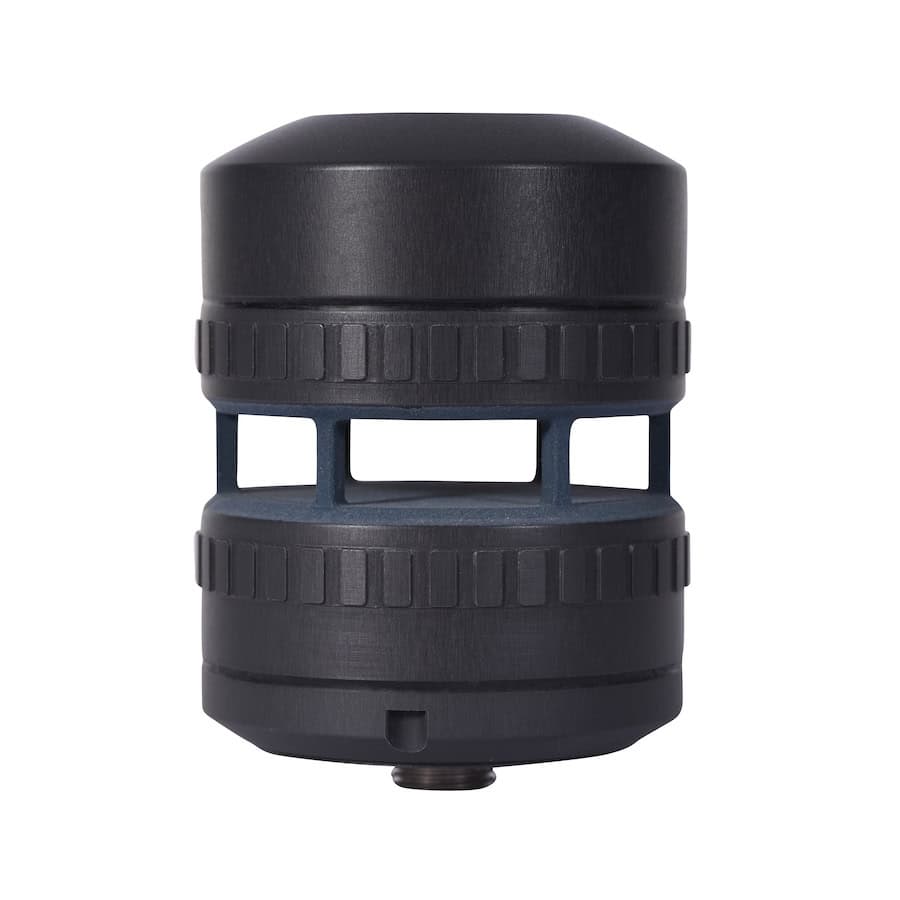
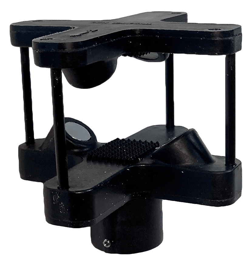
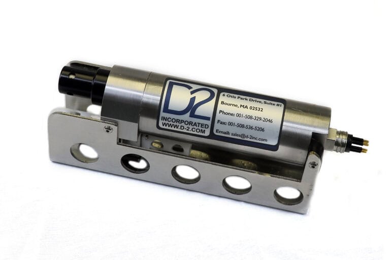
Hybrid CTD Sensor by D-2 Inc
The integration of environmental monitoring systems with unmanned technologies involves both hardware and software coordination. Transducers convert physical signals into measurable electrical outputs, which are then processed through embedded systems or relayed to cloud-based software platforms. These technologies often operate in conjunction with AI algorithms, enhancing environmental monitoring techniques such as anomaly detection, predictive modeling, and pattern recognition.
System integration also ensures interoperability across different unmanned platforms and sensor types, enabling a cohesive and scalable approach to environmental monitoring and assessment. Modular solutions allow users to customize their platforms based on mission requirements, from compact UGVs for industrial inspections to long-endurance drones for regional air quality surveys.
Evolution & Future of Environmental Monitoring Technologies
Advancements in environmental monitoring solutions are driven by the need for more efficient, precise, and scalable tools. Miniaturization of environmental monitoring sensors, improvements in battery life, and the expansion of IoT connectivity are all contributing to more robust and autonomous environmental monitoring and control systems.
Additionally, satellite integration and AI-enhanced analysis are enabling new possibilities in global environmental monitoring and climate modeling.
Drone environmental monitoring, in particular, continues to evolve, with multispectral imaging, LiDAR, and thermal sensors expanding the scope of what can be analyzed remotely. These tools are becoming essential in disaster recovery, endangered species monitoring, and sustainable development planning.
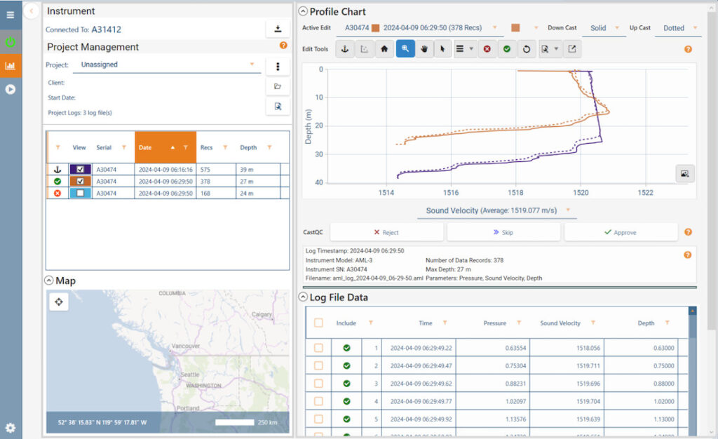
AML Oceanographic has introduced CastQC in Sailfish 1.5.1 to support hydrographic survey workflows with dynamic cast validation, profile comparison, interactive editing, and export on approval
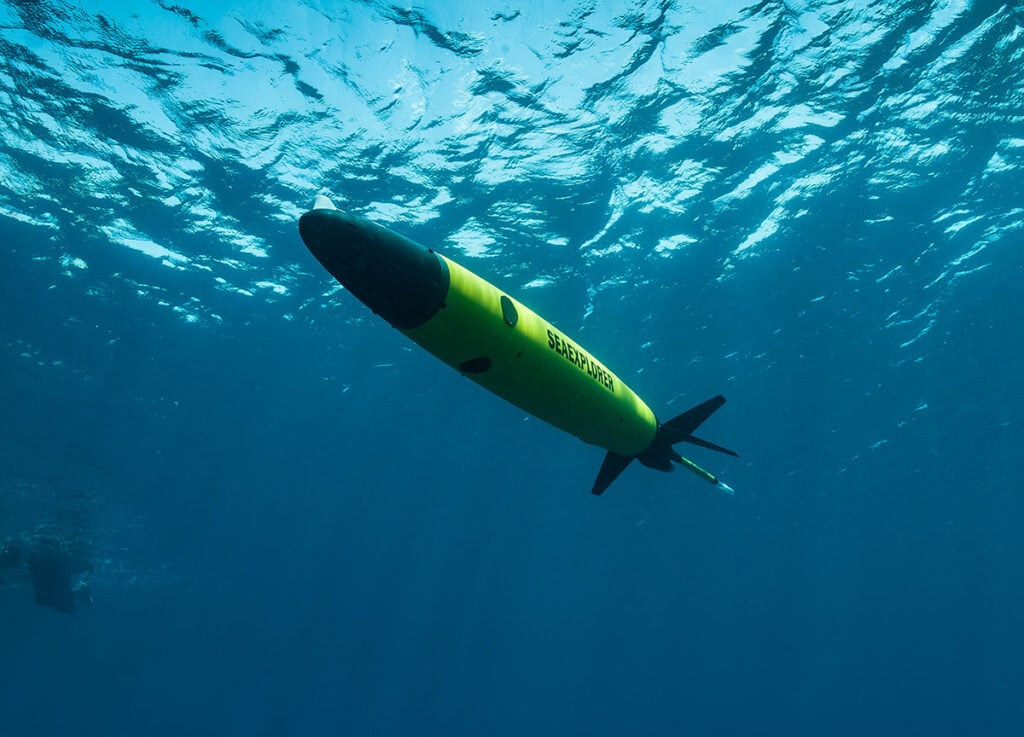
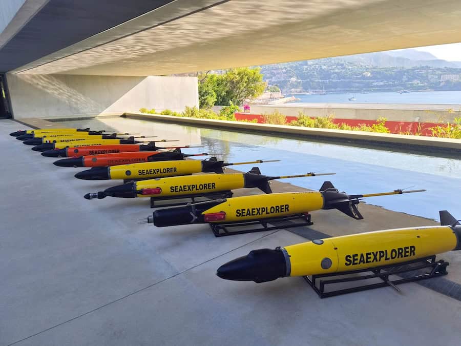
CNRS and ALSEAMAR have deployed ten SEAEXPLORER autonomous underwater gliders in the Ligurian Sea to collect data on underwater noise, currents, eddies, and marine ecosystem dynamics for a future environmental atlas
RIEGL discusses how its airborne and UAV LiDAR scanning technologies are helping researchers reveal concealed terrain features beneath dense vegetation and identify wartime relics and heritage sites across Hong Kong and Malaysia
Project REPARE leverages advanced Deep Trekker ROV technology and aerial photogrammetry to restore native flat oyster populations in Southern Brittany through comprehensive underwater monitoring and assessment
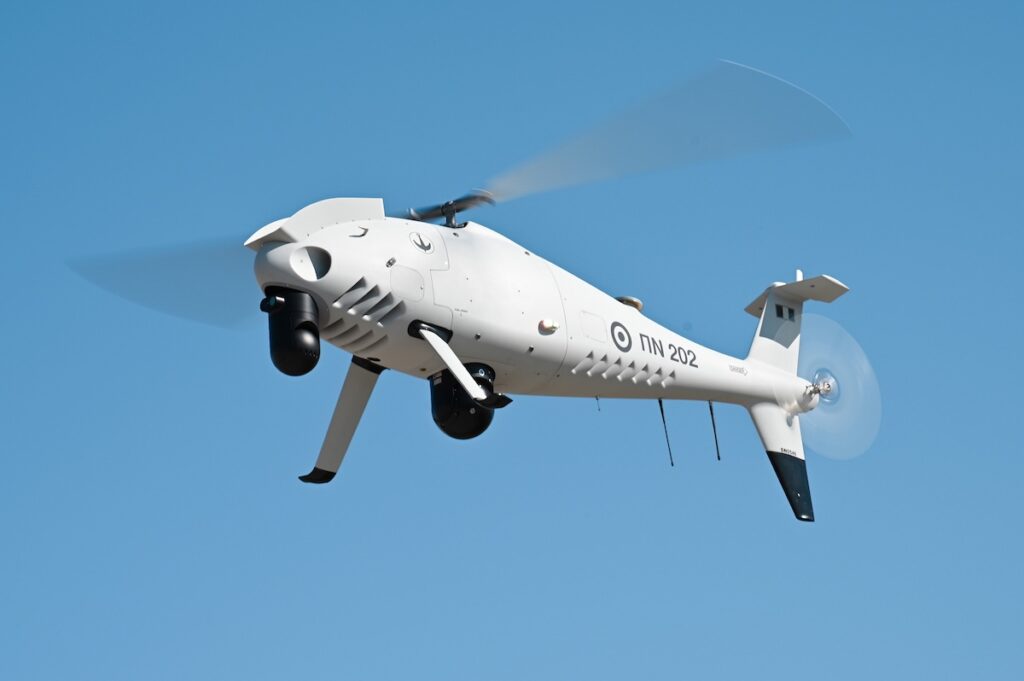
Following acceptance tests at Kotroni Helicopter Base, the Hellenic Navy is set to deploy new CAMCOPTER S-100 unmanned systems to enhance maritime security and search and rescue capabilities
Sony Electronics' new miniature LiDAR depth sensor weighs just 46 grams, offering high-precision long-distance measurement and seamless integration for space-constrained applications
Aeroprobe's cutting-edge technologies provide highly accurate measurement of critical flight parameters and are engineered specifically for UAVs
Mar 23, 2026
Advancing Unmanned Systems Through Strategic Collaboration
UST works with major OEMs to foster collaboration and increase engagement with SMEs, to accelerate innovation and drive unmanned systems capabilities forward.