In order to reduce noise and maximize range, the sensor is actively cooled to maintain a 5°C temperature
High Dynamic Range Data
16-bit dynamic range laser data enables you to capture both high and low brightness targets
Complete Coverage
Maximize coverage using the 50° laser line and accurate PPS time sync to vehicle navigation data
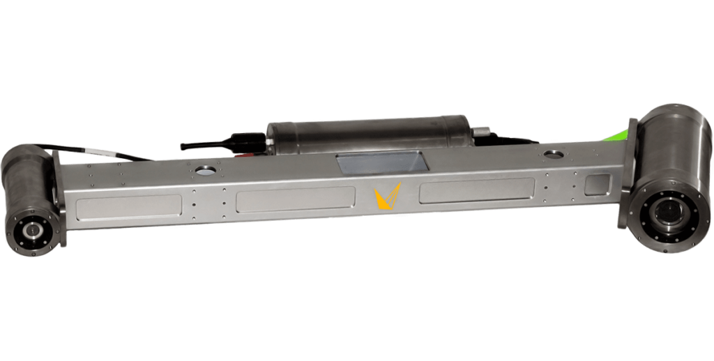
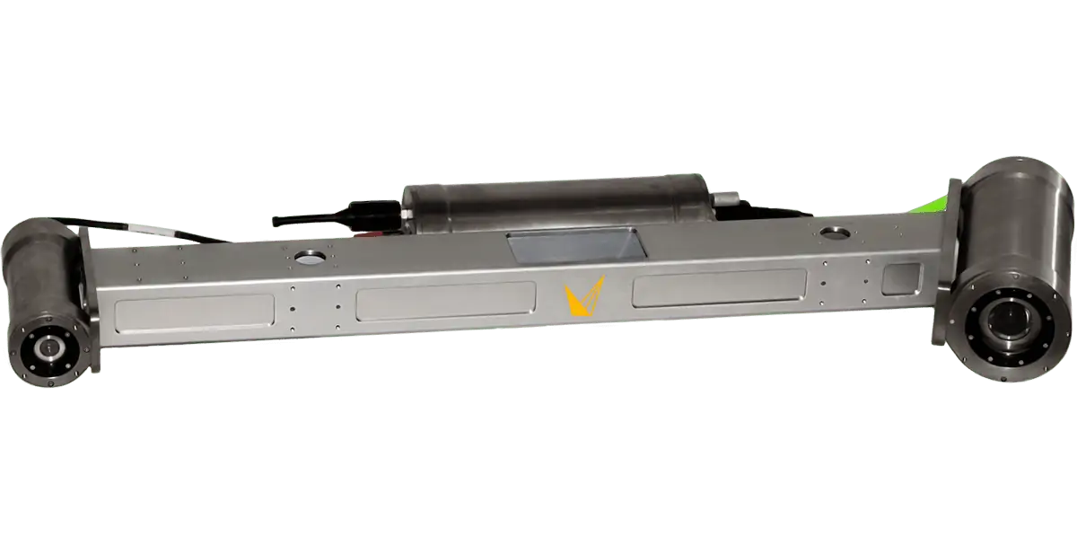
Overview
4000m or 6000m depth rated options
Vehicle navigation integration for dynamic survey
3D point clouds are generated in real-time
1.5m-15m scan range
Actively cooled sensors
3D Point Cloud Data
Insight laser scanners generate accurate 3D point cloud models of your subject – allowing you to gather precise measurements or create a baseline for future comparative scans.
The Insight Pro has been used to scan more than 10,000kms of subsea pipeline.
Advancing Unmanned Systems Through Strategic Collaboration
UST works with major OEMs to foster collaboration and increase engagement with SMEs, to accelerate innovation and drive unmanned systems capabilities forward.