Find manufacturers of hydrographic survey equipment for unmanned and automated underwater vehicles (UUV, AUV, UAV) for underwater mapping and surveying.
If you design, build or supply Hydrographic Survey Equipment, create a profile to showcase your capabilities and connect with visitors who have an active requirement for your solutions.
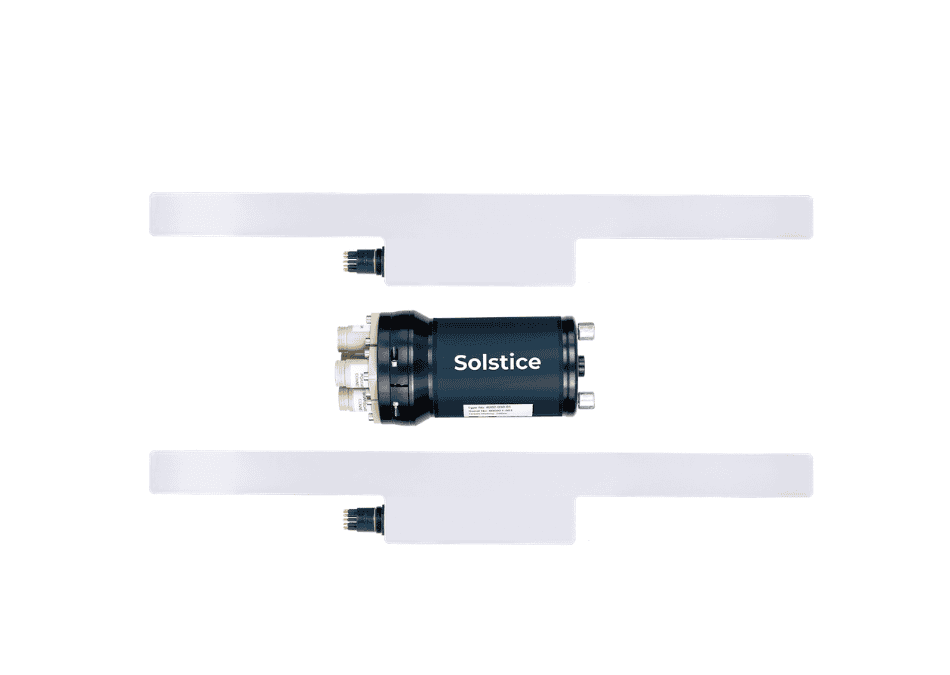
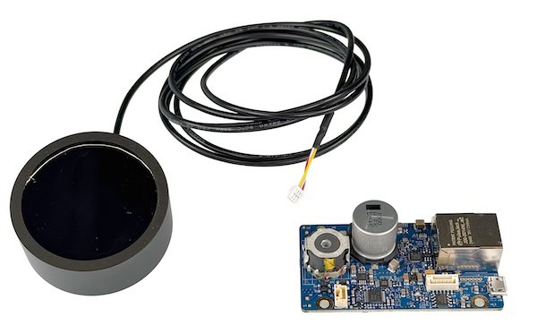
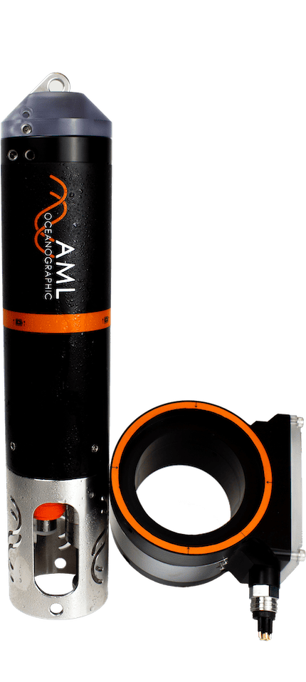
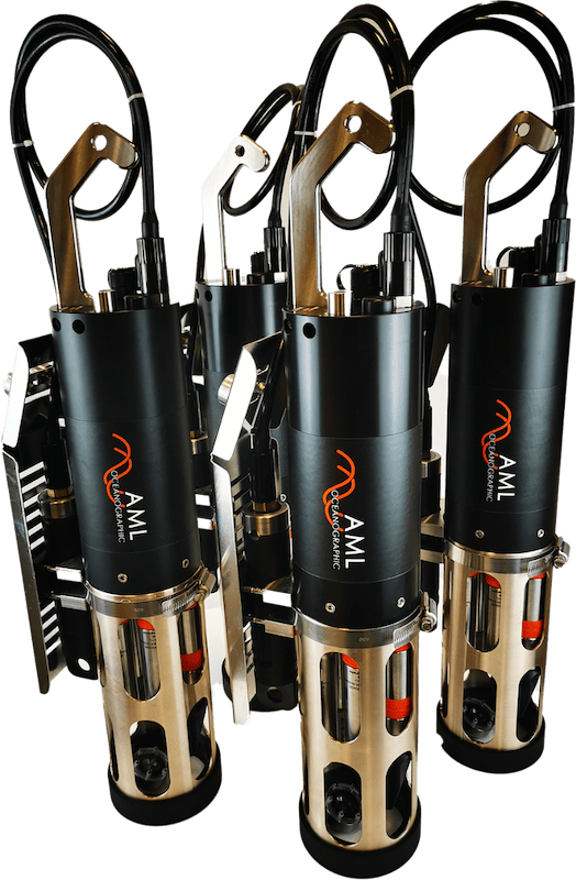
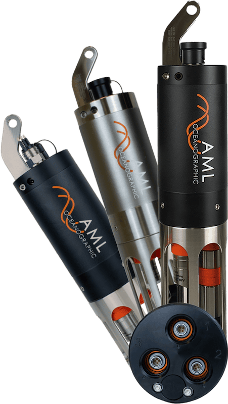
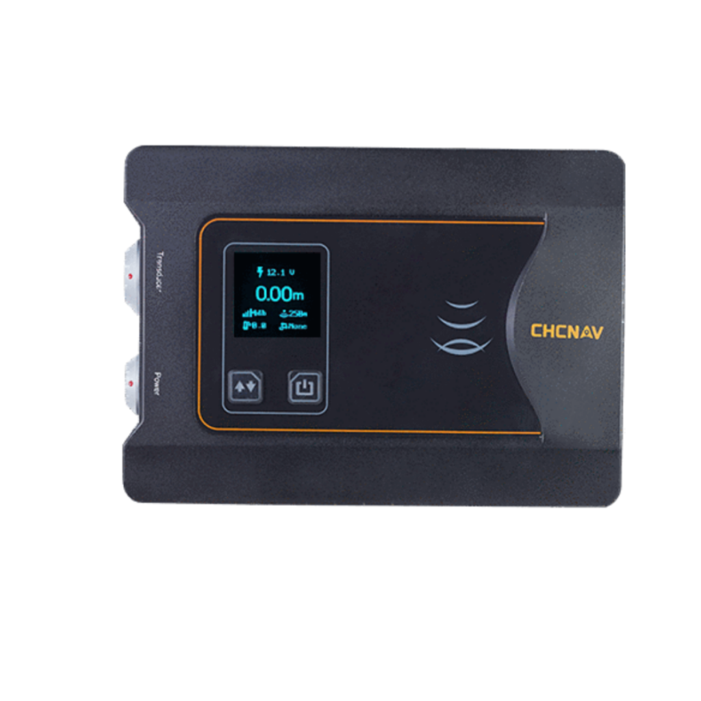
Dual-frequency acoustic doppler current profiler for high-precision hydrological surveys
Dual-frequency acoustic doppler current profiler for high-precision hydrological surveys
...g manpower and survey efficiency. The unit’s dual-frequency capability allows it to automatically... ...ems, motorized survey vessels, and stationary buoy platforms. Its high-resolution profiling (1 mm/s)...
Equipment for Hydrographic Survey & Underwater Mapping
Hydrographic surveying is the measurement and description of marine and maritime environmental features such as shorelines, seabeds and riverbeds, currents, and tides. In addition to manned vessels, it can also be carried out by USVs (unmanned surface vehicles) and UUVs (unmanned underwater vehicles) equipped with acoustic technologies, or by UAVs (unmanned aerial vehicles) carrying specialised LiDAR payloads.
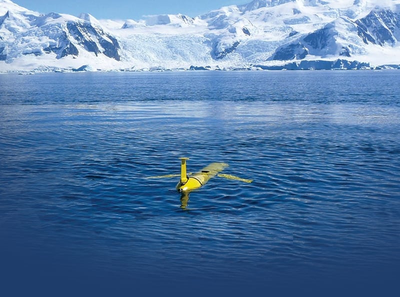
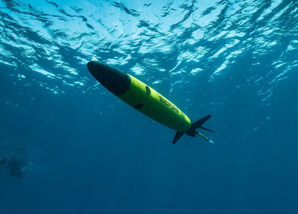
Hydrus Micro Hovering AUV for Hydrographic Survey by Advanced Navigation
Using drones and other autonomous unmanned vehicles for hydrographic surveying saves time and manpower, and surveyors can easily plot pre-programmed routes and edit them during a mission as required.
UAVs can be used at low tide to scan for obstructions, and this data can then be used to inform the paths of USVs and UUVs that complete the surveying works during high tide.
Equipment and Applications for Hydrographic Survey
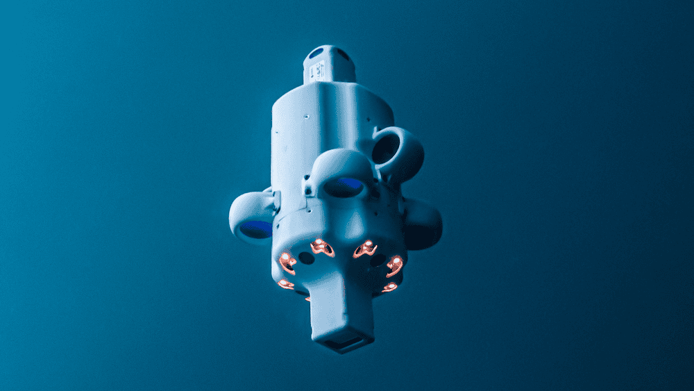
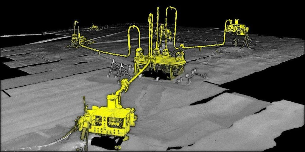
Sams 50 Synthetic Apeture Sonar by Exail
Applications for hydrographic survey include maritime navigation, dredging, offshore drilling and marine construction.
Sonar and Echo Sounders
Used for acoustic hydrographic surveying, sonar technology measures the reflection of acoustic pulses in order to construct an image of the surveyed area.
Read more about Underwater Sonar and Echo Sounders >>
Depth Sensors and Underwater Altimeters
Often paired with temperature sensors, depth sensors and underwater altimeters utilize sonar pulses to measure the depth/distance of the seabed and information relating to the features of the seafloor.
Read more about Depth Sensors & Underwater Altimeters >>
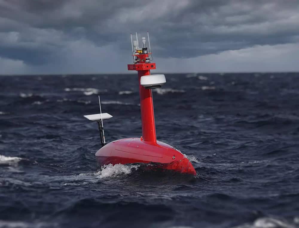
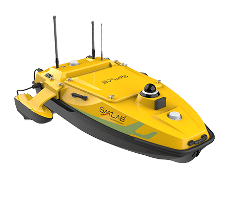
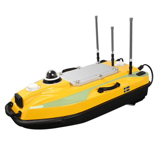
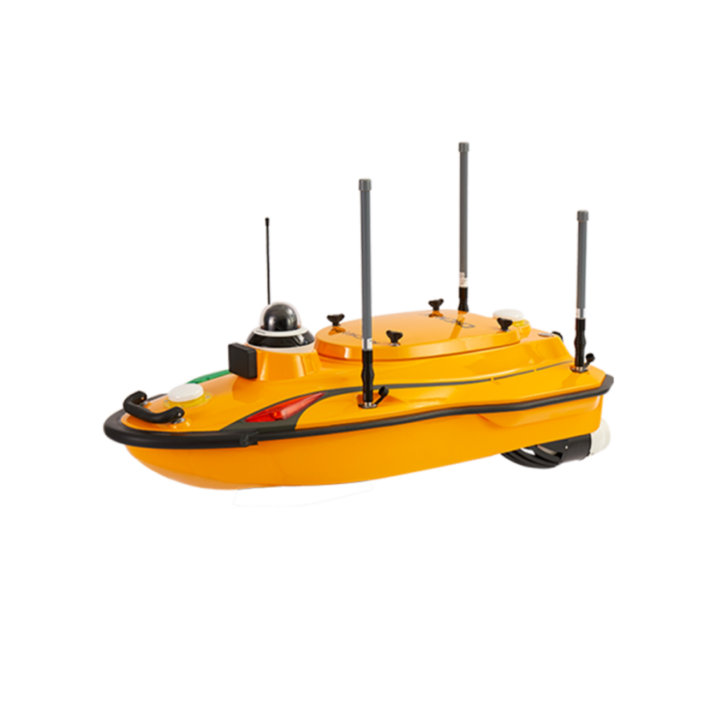
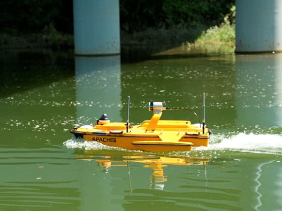
HydroBoat 1500 USV by SatLab Geosolutions
Profiling Floats
Profiling floats or drifters are preprogrammed underwater units used to autonomously relay information concerning currents, salinity and temperature from different points within a vertical water column.
Read more about Profiling Floats >>
Tethered Boats
Unmanned tethered boats are remotely operated autonomous surface vehicles (ASVs) used to monitor and exact information relating to a fixed point at sea / on the water.
Read more about Tethered Boats >>
Bathymetric LiDAR
UAV LiDAR scanners are typically used for shallow-water bathymetry (underwater depth) measurements, whereas USVs and UUVs with acoustic equipment can be used for a wider range of surveying applications. Unmanned systems can also be used as a force multiplier in conjunction with manned survey vessels and aircraft.
Read more about Bathymetric LiDAR >>
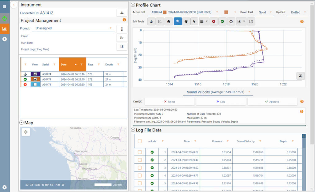
AML Oceanographic has introduced CastQC in Sailfish 1.5.1 to support hydrographic survey workflows with dynamic cast validation, profile comparison, interactive editing, and export on approval
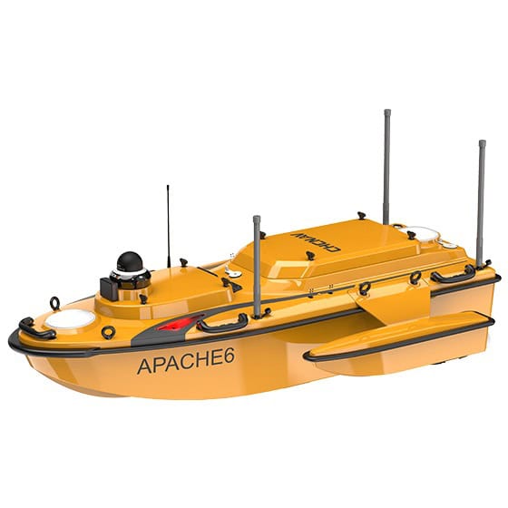
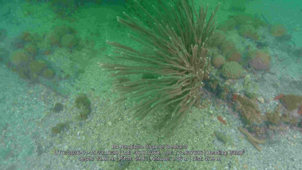
CHC Navigation has released its 2026 Edition USV integrating multibeam sonar, optional iLiDAR, and automated sound velocity profiling for high-resolution bathymetric mapping and efficient dual-domain marine and terrestrial surveys
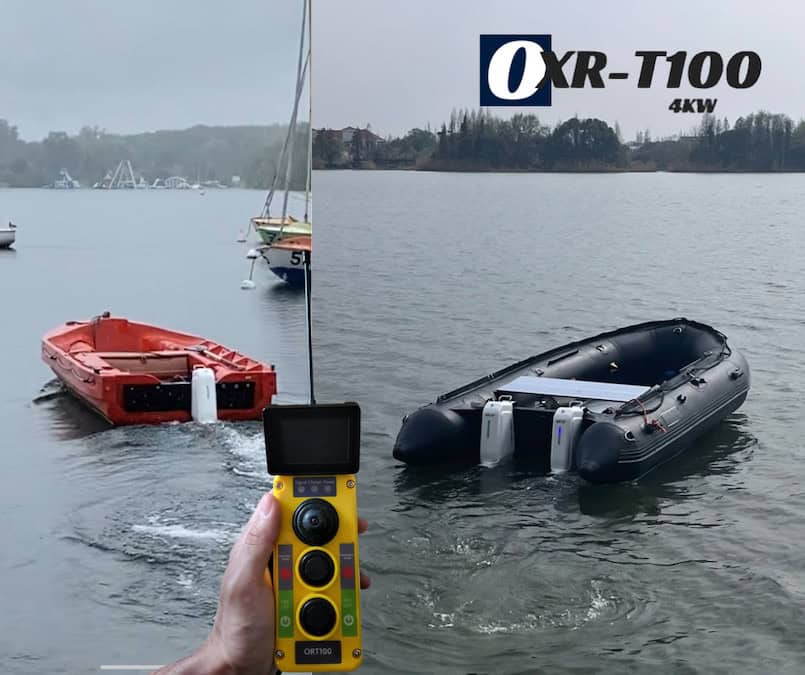
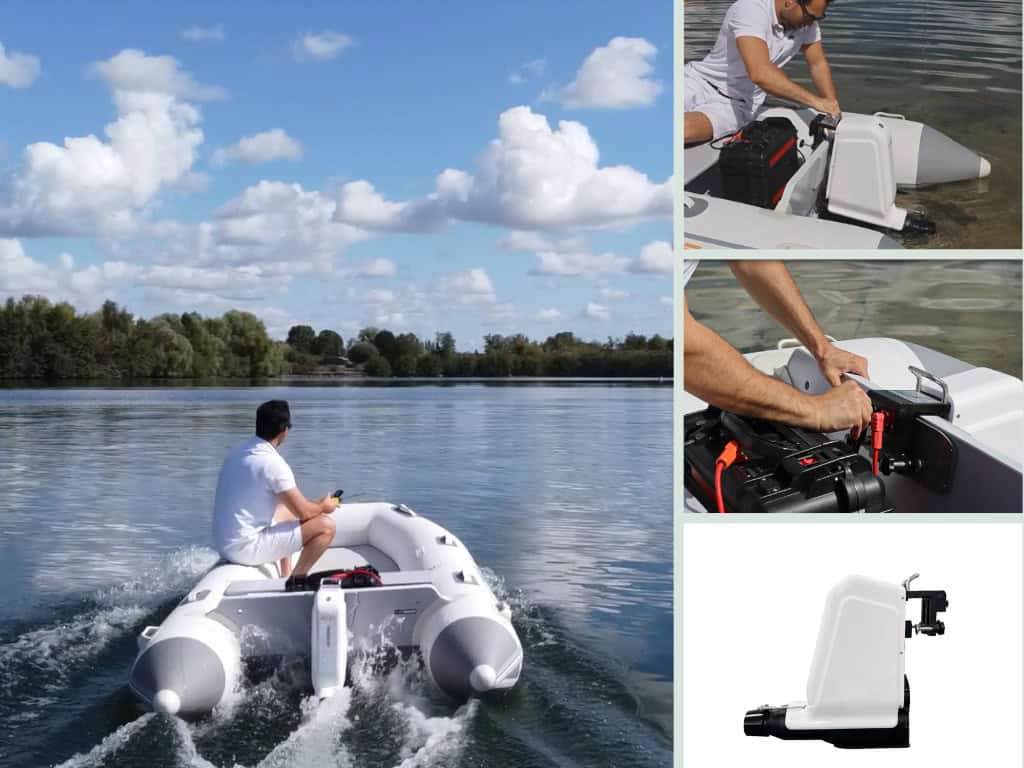
AGISTAR’s OXR T100 electric outboard motor transforms standard inflatable boats into remotely operated unmanned platforms for flexible, safe, and efficient oceanographic survey operations
AGISTAR's OXR-T100 is a quiet, 4000W electric outboard motor designed for shallow-water surveys, precise sonar mapping, and eco-friendly marine research operations
AGISTAR has launched the USVSTAR, a compact, modular unmanned surface vehicle, offering customizable payloads, rapid deployment, and versatile performance for a wide range of missions
Sep 11, 2025
Advancing Unmanned Systems Through Strategic Collaboration
UST works with major OEMs to foster collaboration and increase engagement with SMEs, to accelerate innovation and drive unmanned systems capabilities forward.